In 2024 West Coast Placer was contracted to help develop a placer gold project in Mongolia. It was an incredible opportunity to explore a country where modern mining is still in its infancy, yet operations are already scaling to levels that rival the largest placer mines in the world. Working in the homeland of Genghis Khan was an unforgettable experience.

Surprisingly placer gold mining is a relatively new practice in Mongolia, despite the size of the country and abundance of mineral deposits their mining industry is really just beginning. Western North America has seen extensive exploration and mining since the gold rushes of the 1800s. Prior to the collapse of the Soviet Union there was very little mining in Mongolia, which presents an opportunity for huge deposits to be found.
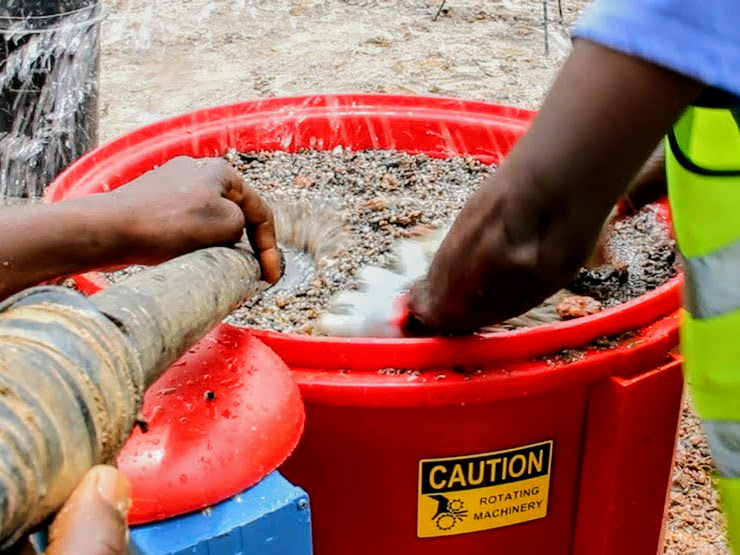
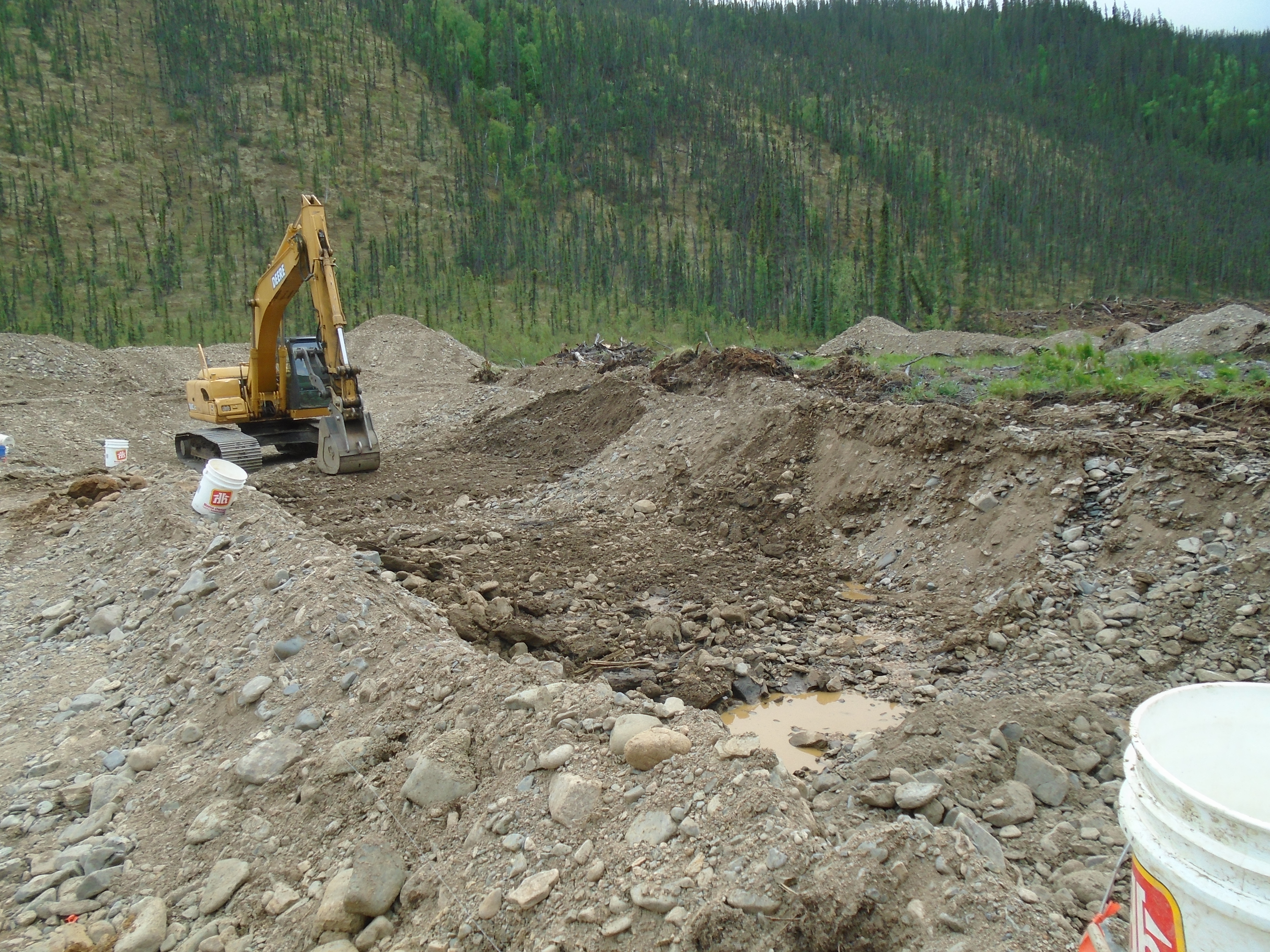
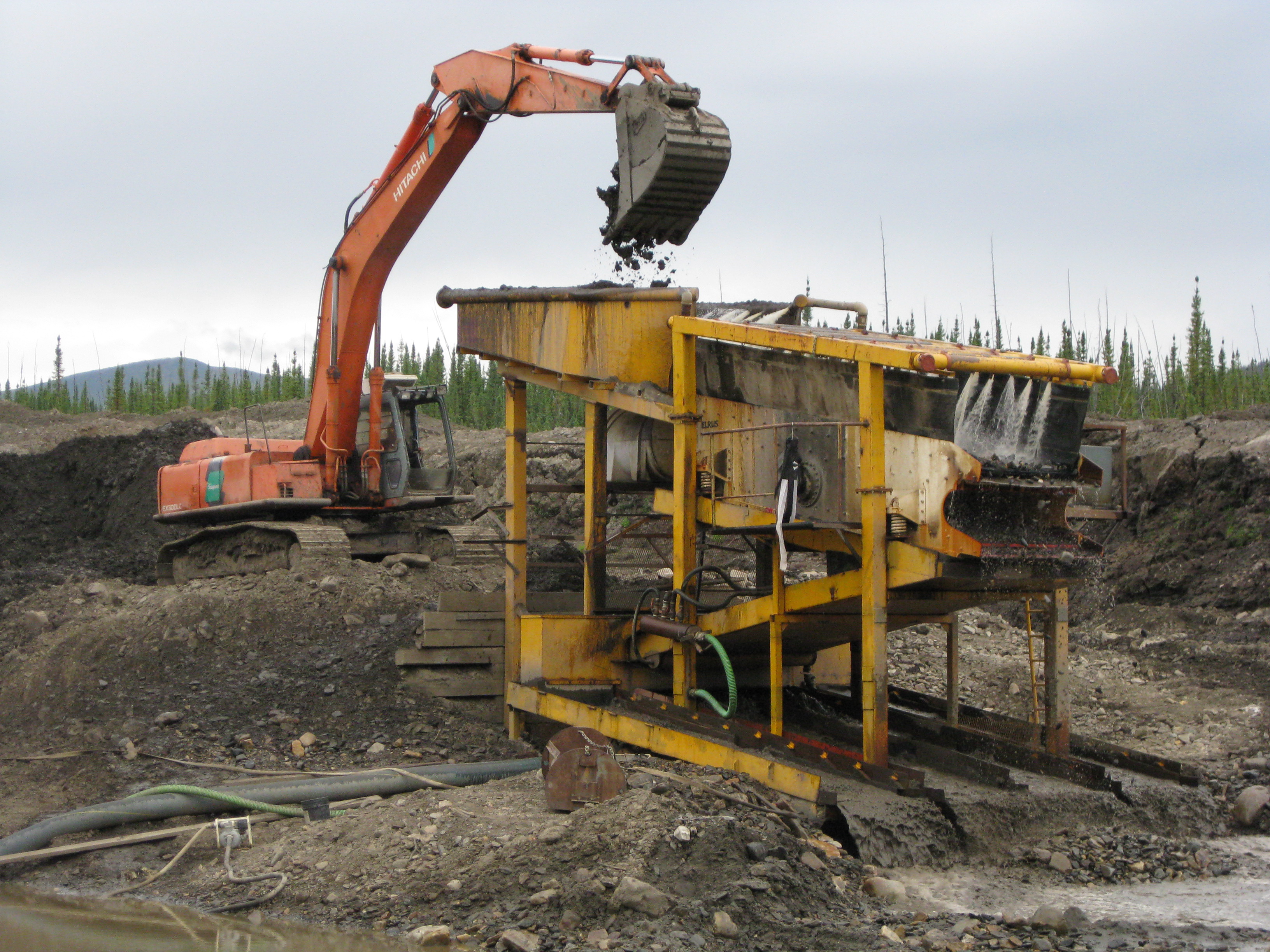
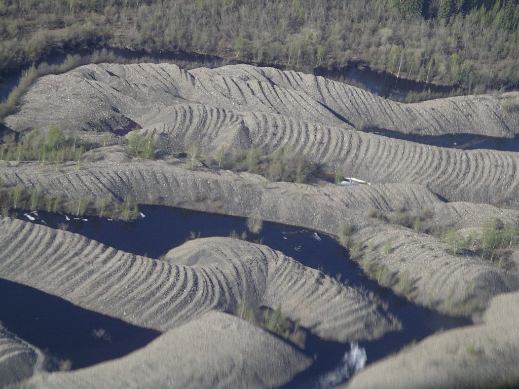
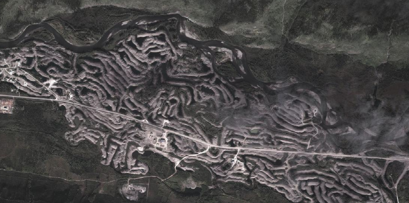
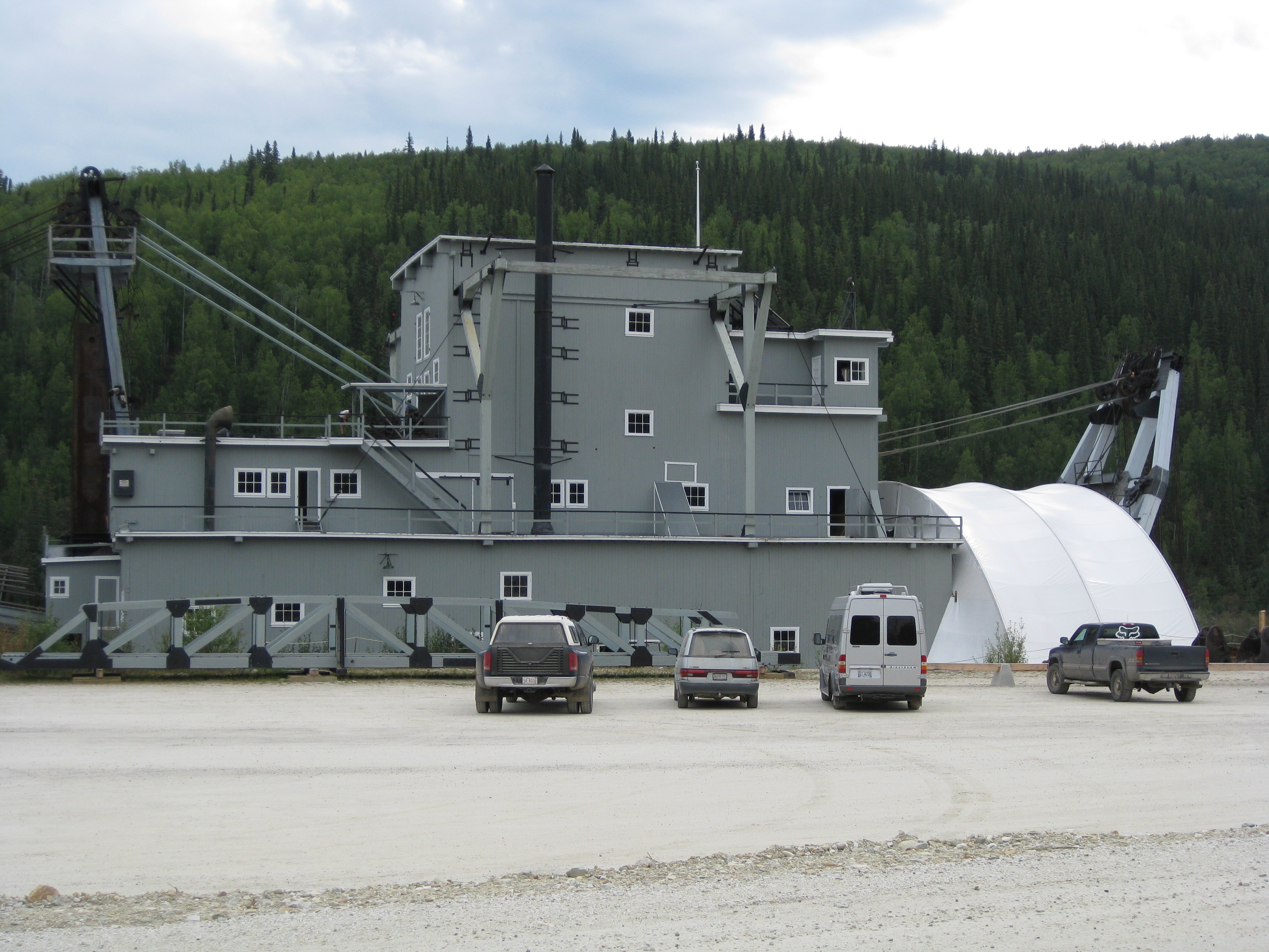
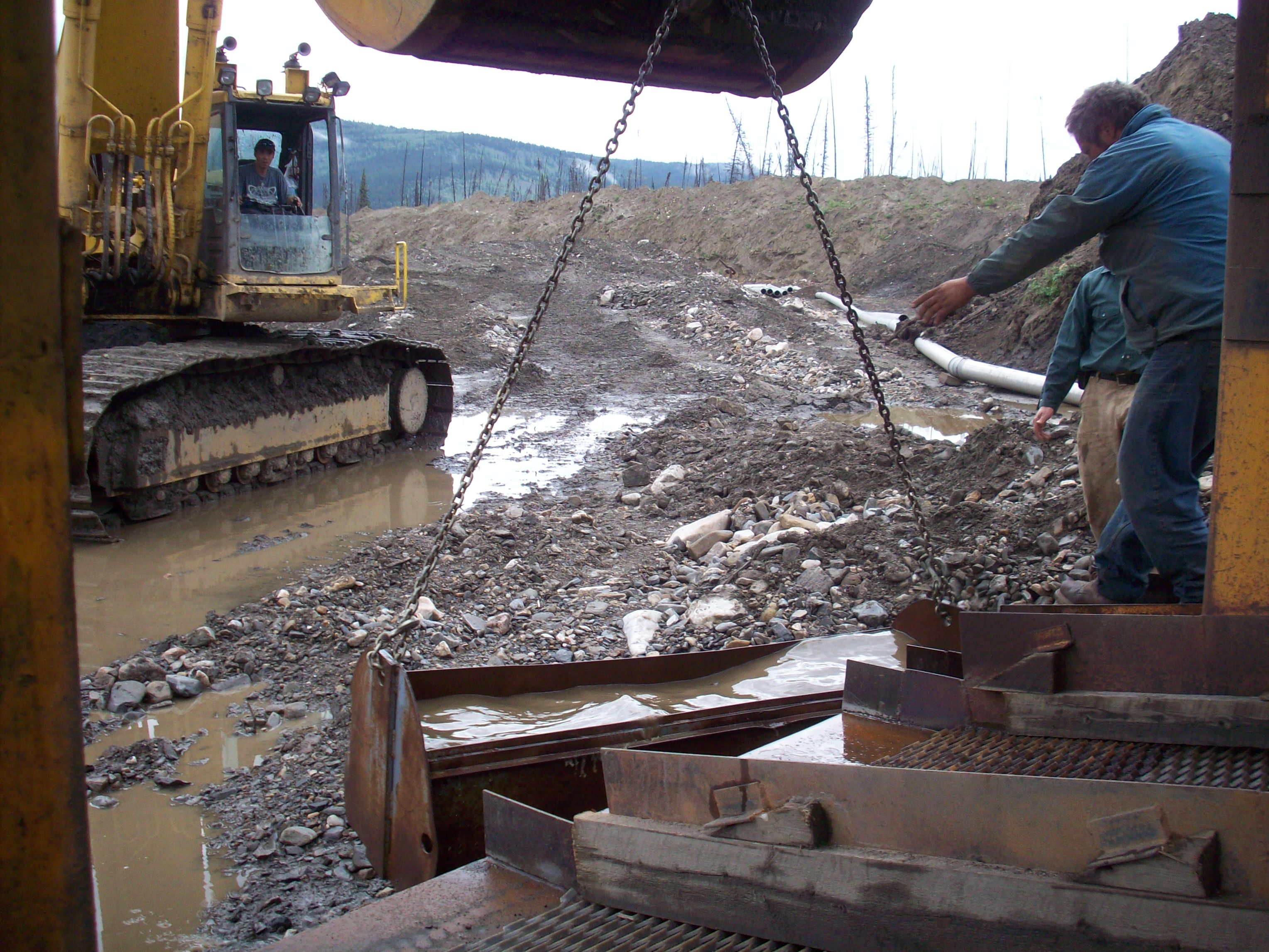
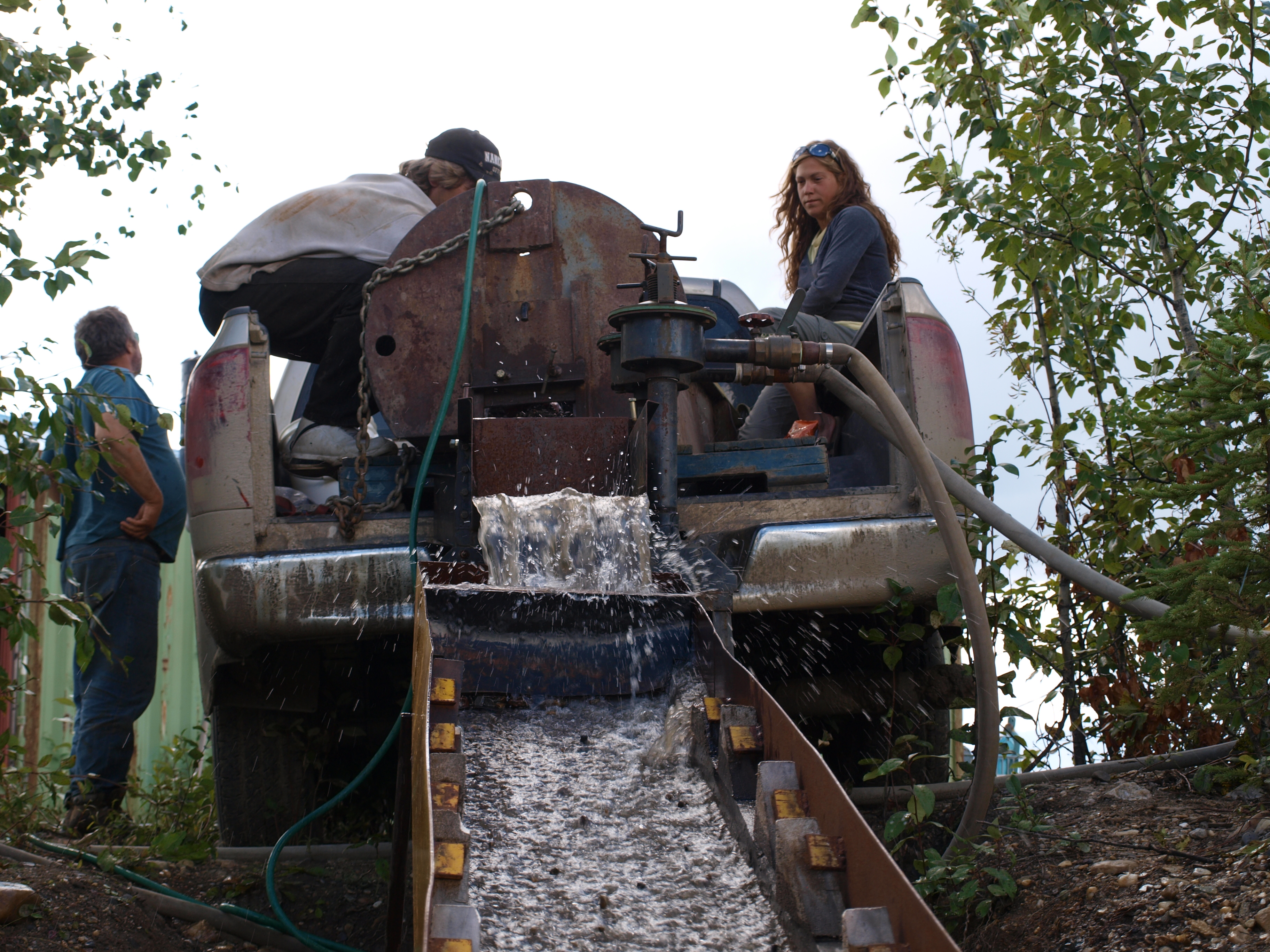
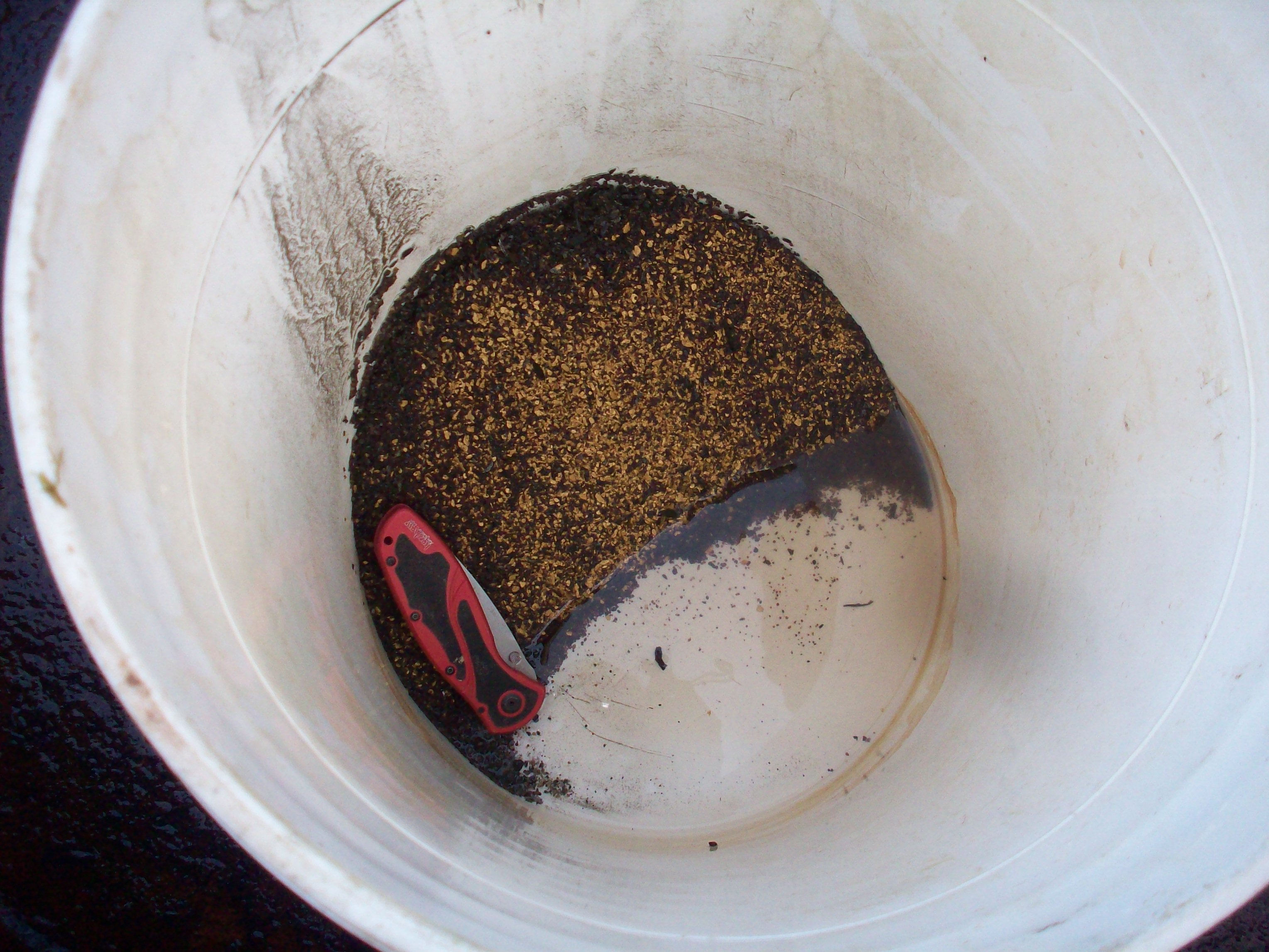
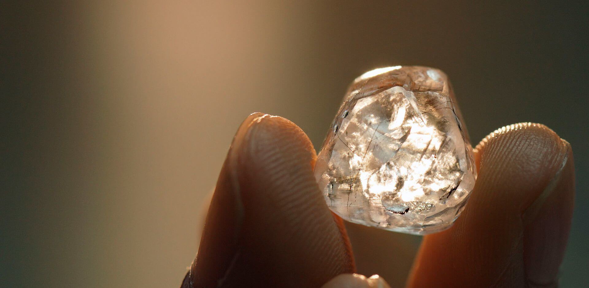
It was also a surprise to see that Mongolia has some of the largest placer mines in the world! The Klondike has huge placer mines, with very experienced miners but some of the operations in Mongolia are 10 times larger than anything in the Yukon. There are mines in some areas with over 100 excavators in operation at a single time, with over 200 rock trucks and seven wash plants all running in tandem. Our client ran an operation that produced over 74kg (2,400 ounces) of gold in a single day. They produced over 1.5 metric tons (48,000 ounces) that season. To put that into perspective the entire Yukon produced 80,165 crude ounces of gold in 2021, our client’s single mine in Mongolia produced more annually than Tony Beets, Parker Schnabel, and Stuart Schmidt combined.

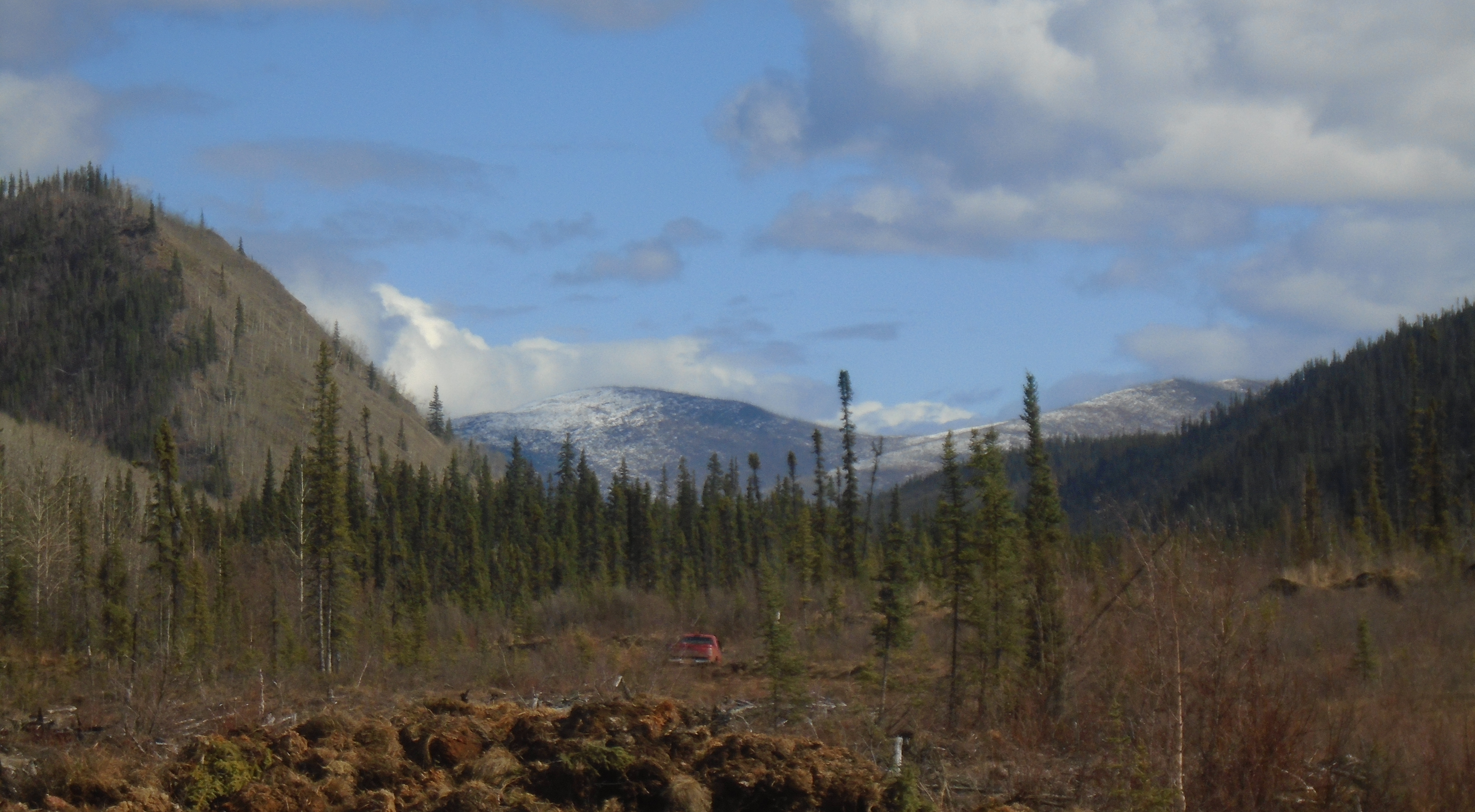
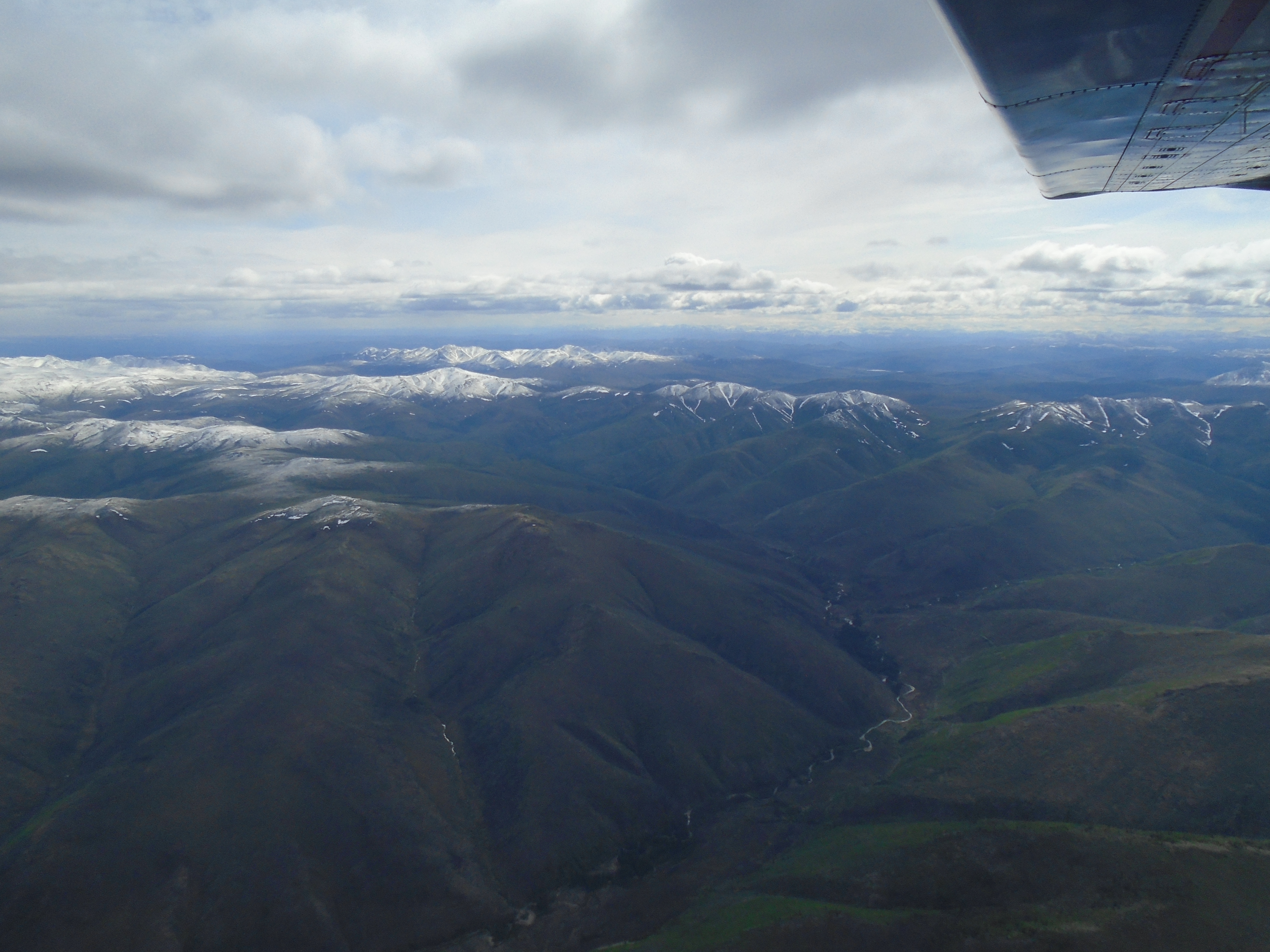
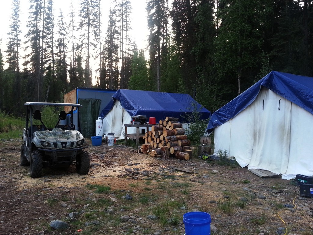
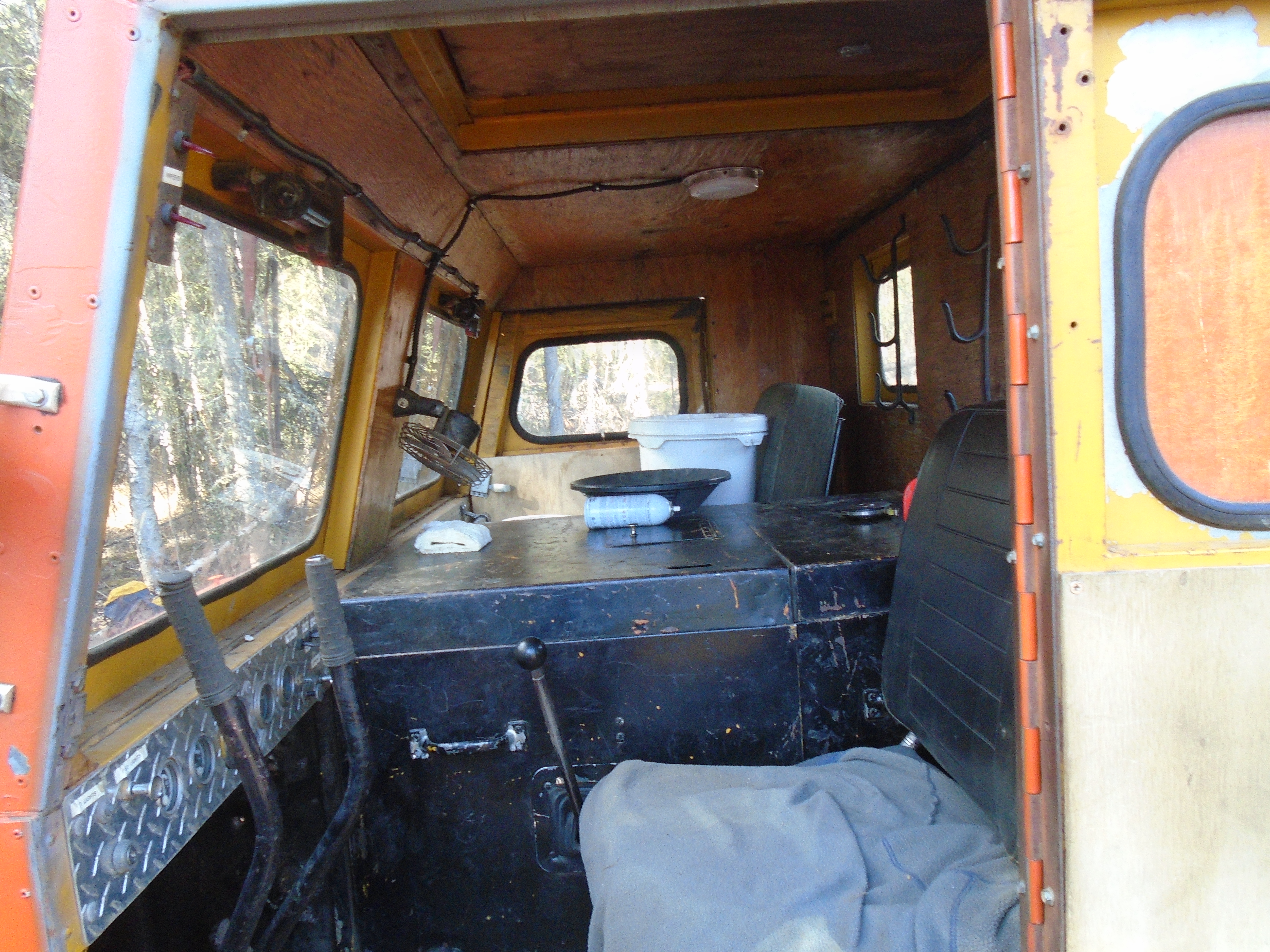
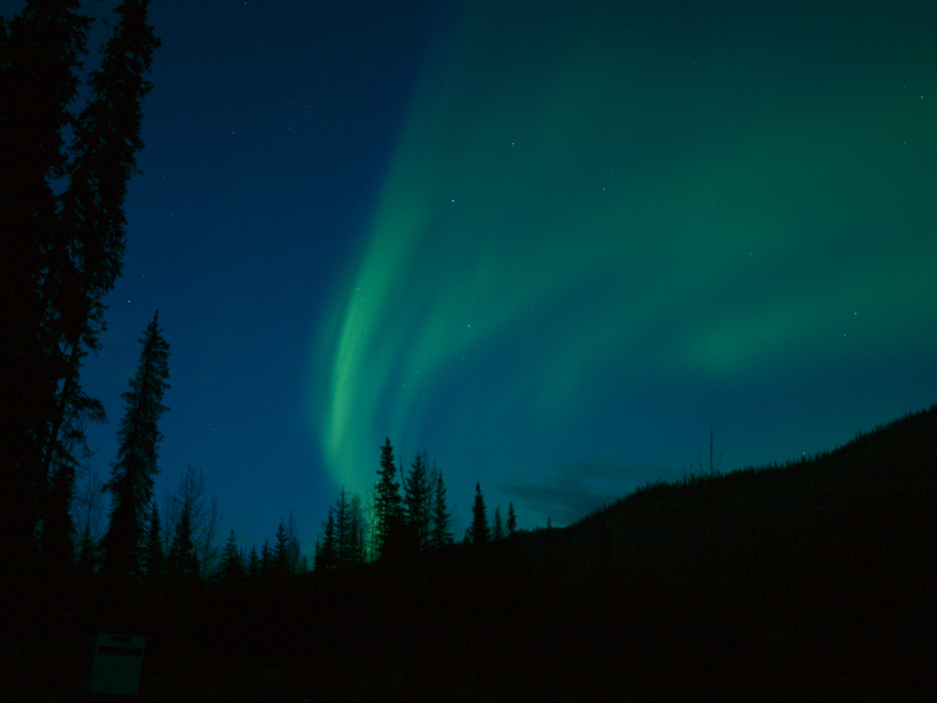
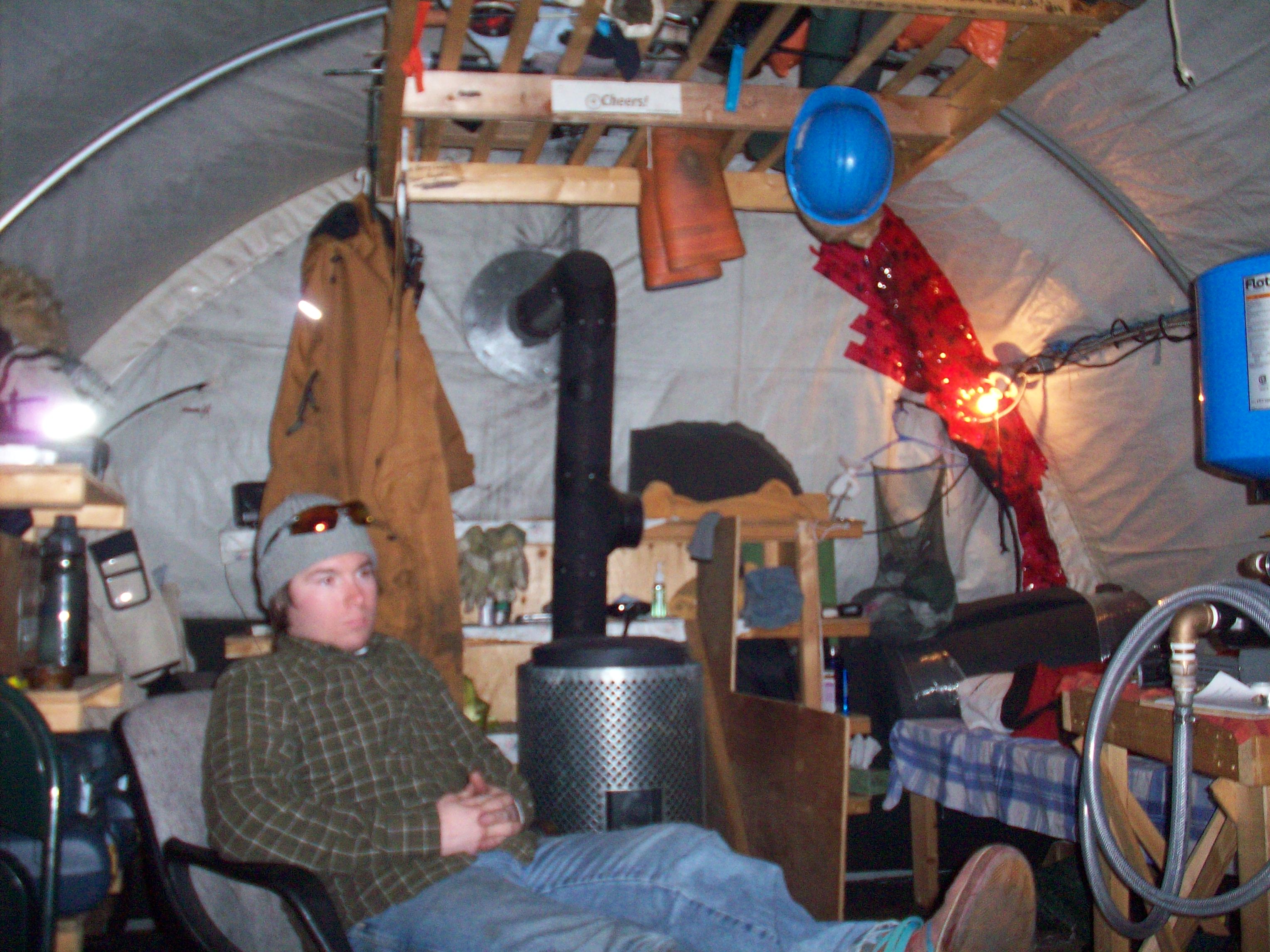
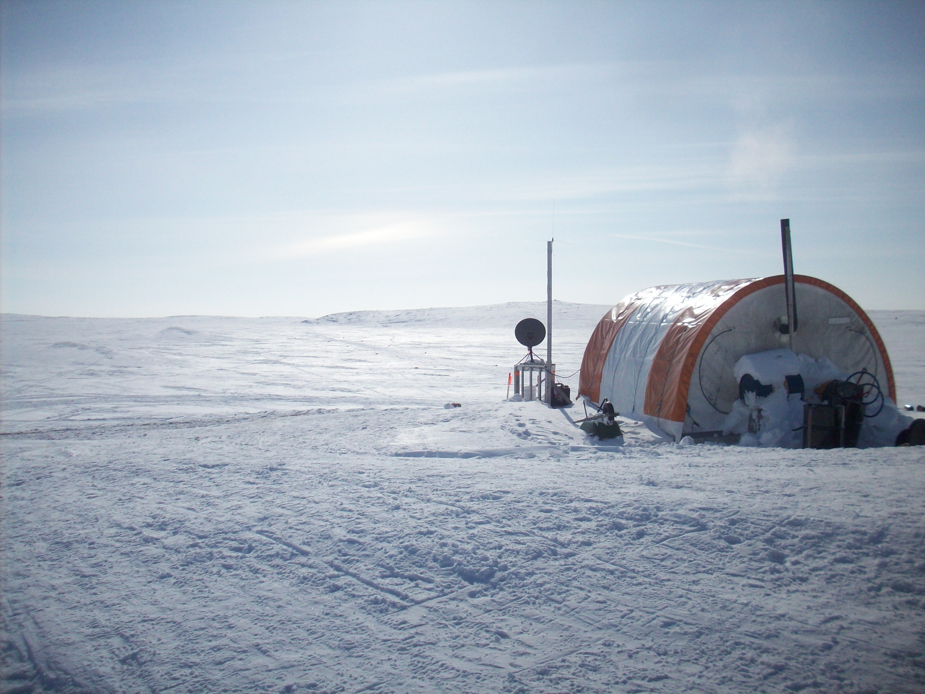
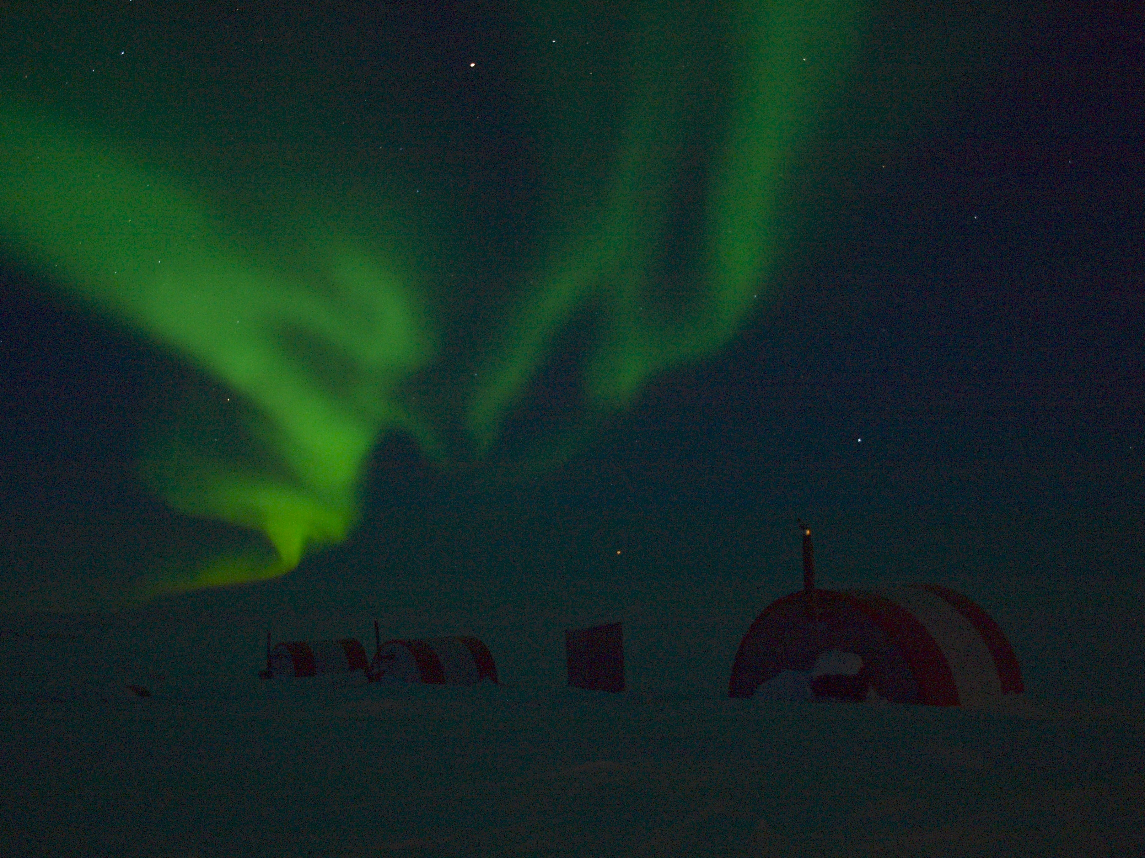
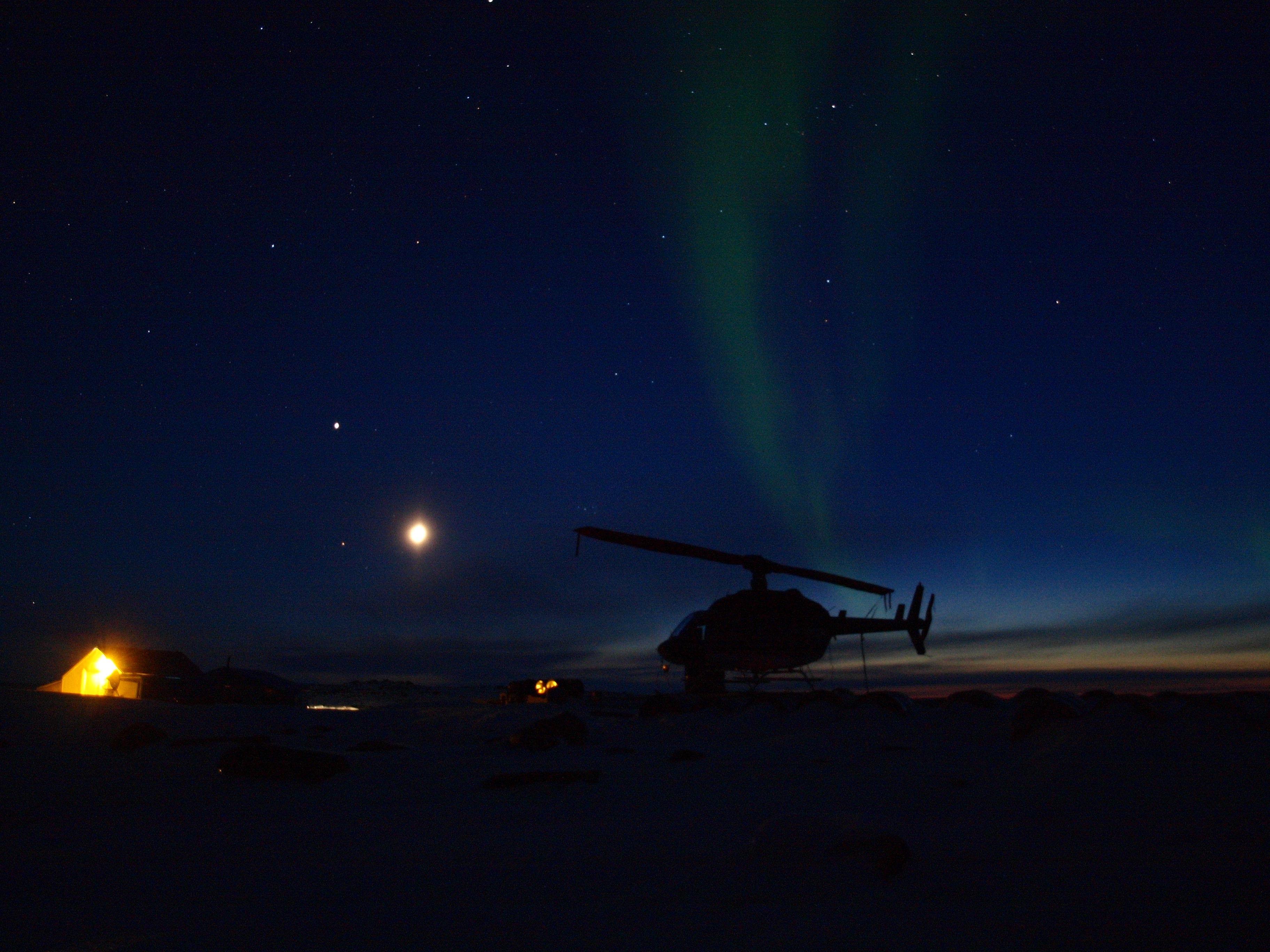
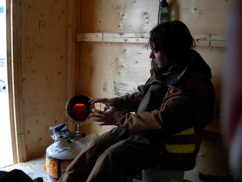
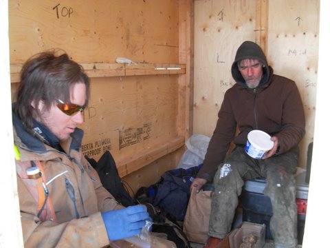
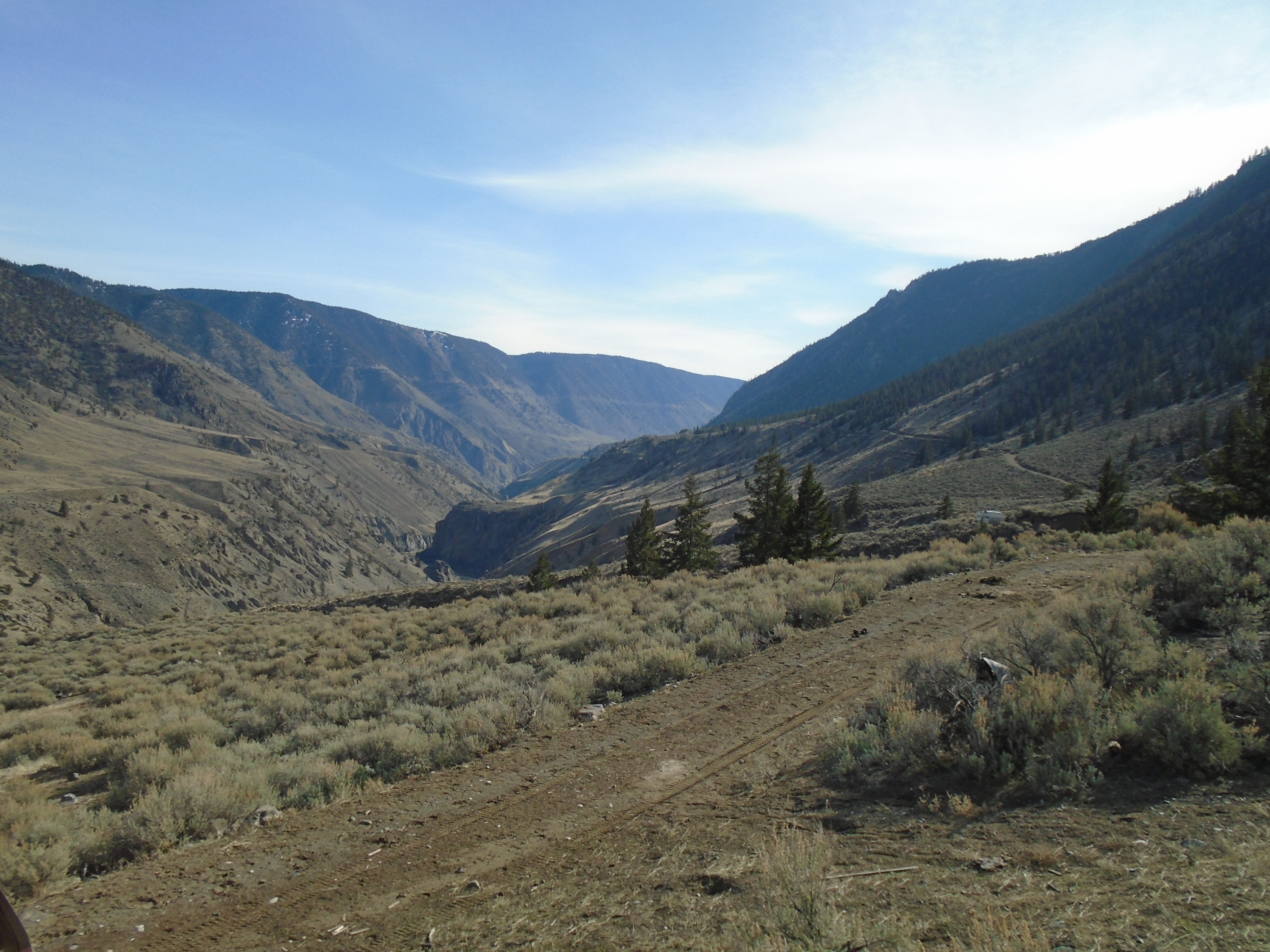
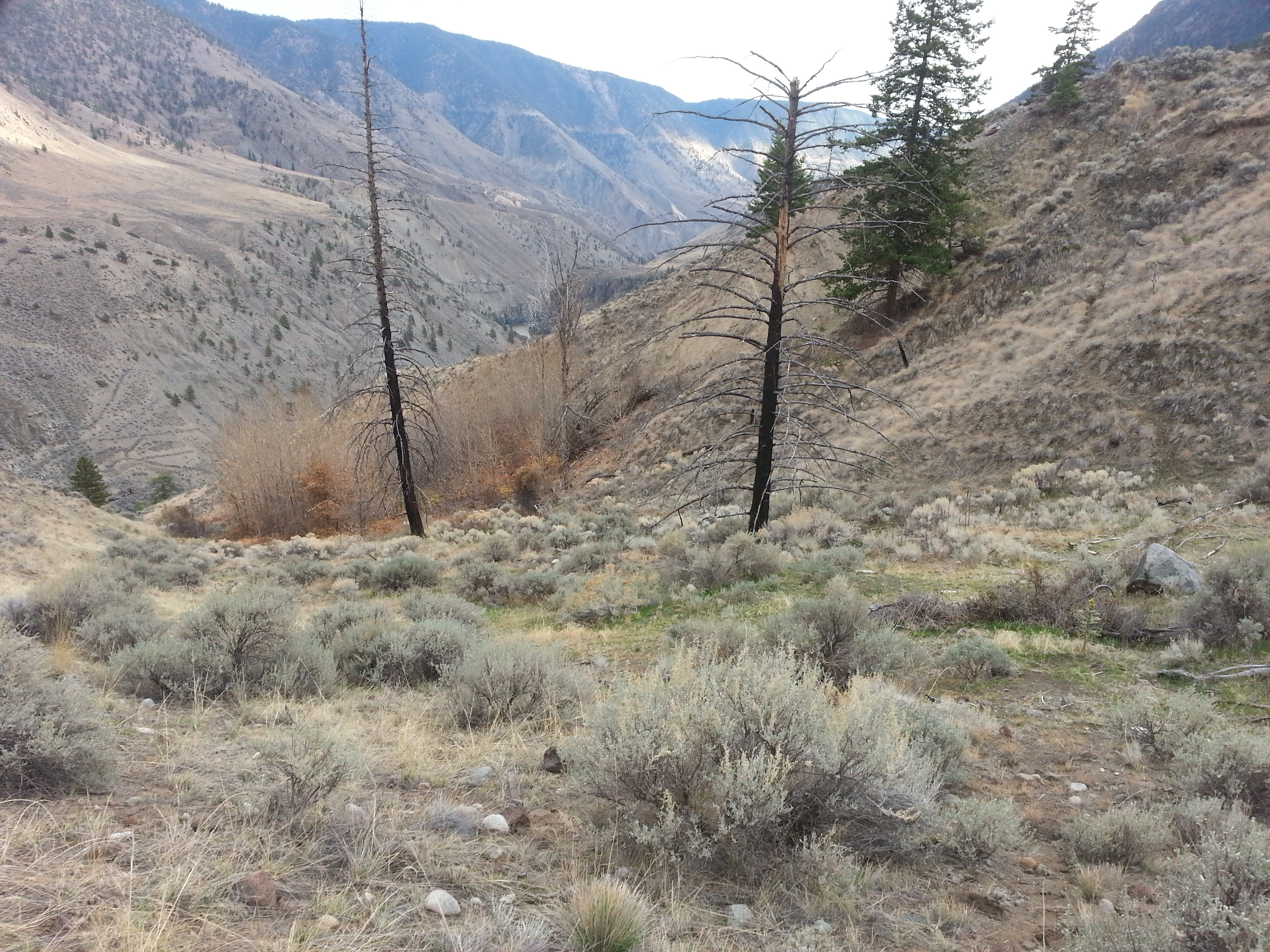
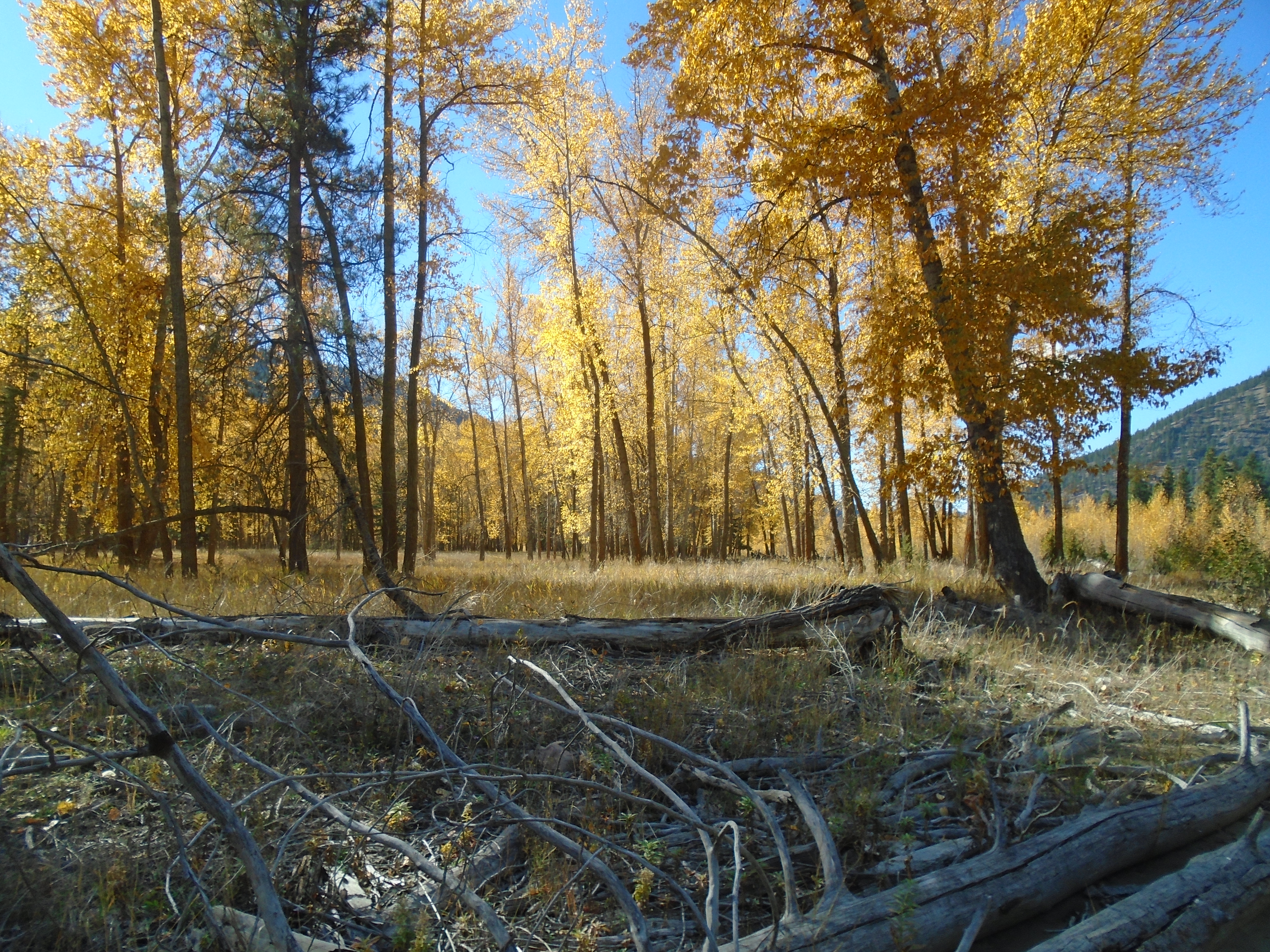
The project that we were working on was in the Altai Mountains in the western part of Mongolia, near Kazakhstan. It’s a beautiful mountainous area, there is very little vegetation though. Despite the natural beauty, the living conditions in this area are very rustic. Many Mongolians still practice traditional ways of life. Many people are still nomadic and their lifestyle hasn’t changed much since the days of Ghengis Khan. When we arrived it was -20 degrees and very windy, it is always windy in Mongolia. A large percentage of rural people live in Yurts (or Gers as they call them). Truthfully Gers are quite comfortable once you get used to it, kind of like a wall tent but round.
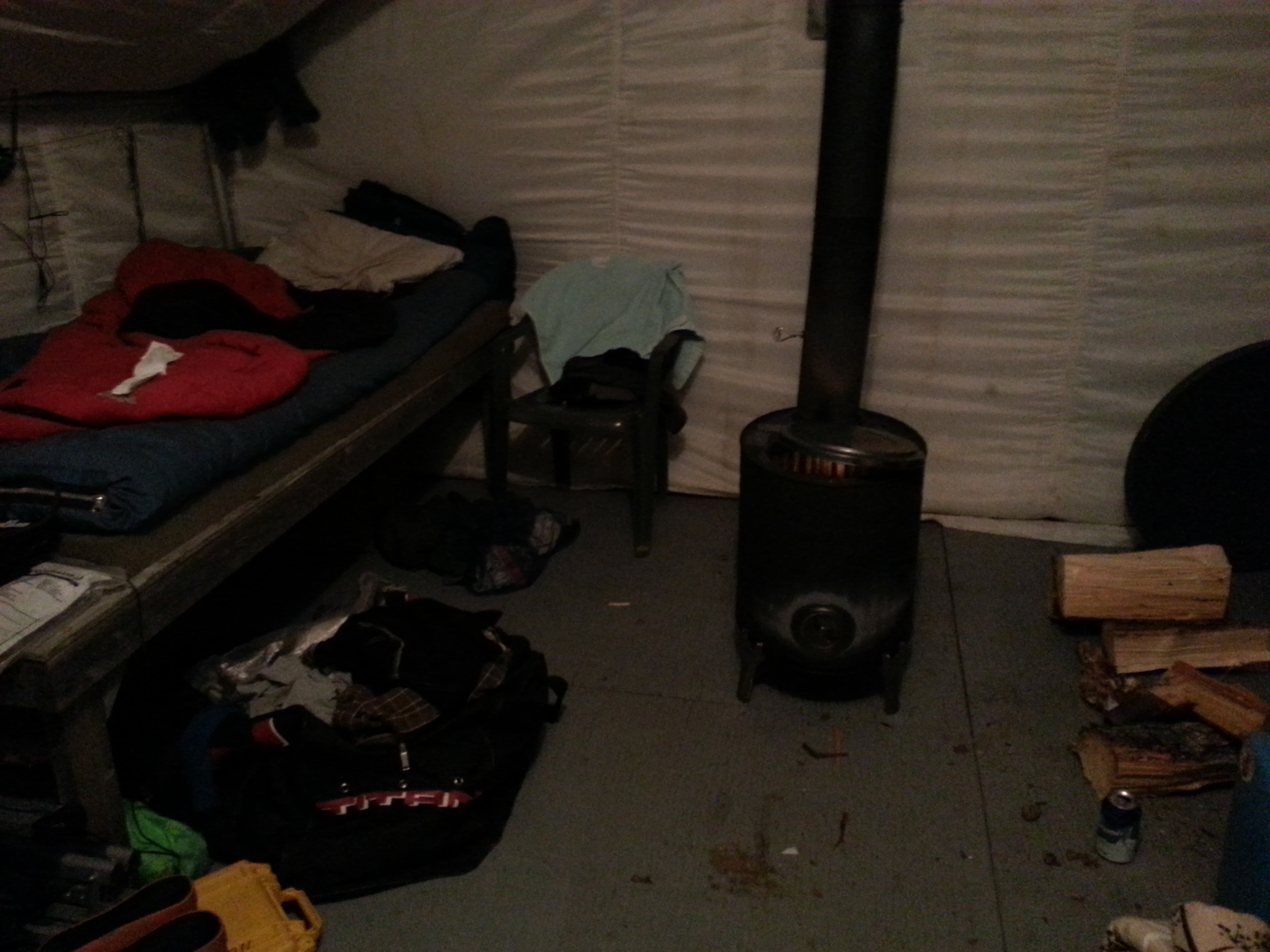
In these parts there is no firewood, there is virtually no vegetation of any kind. All heating is done by coal stoves. Coal stoves operate much like the wood stoves that are commonly used in Canada. One thing that takes some getting used to is the complete lack of water. During our 30 days on-site we were on site we only had access to a shower once, when we went into the larger town. Thankfully, in -20°C temperatures, sweating isn’t much of a concern.
The people who live in this area are a mix of ethnic Kazakhs and Mongolians. They still practice a very traditional way of life. Many people in the village dress in traditional overcoats called a deel (pronounced dale). The deel features a thick wool fabric with a brightly coloured belt. Just about everyone wears the same deerskin boots as well, apparently they are very warm, which is important in such an unforgiving climate.


Since the people of this region are primarily nomadic shepherds the diet is almost entirely animal based. We literally bought a sheep and left it out in front of the yurt for the entire 30 days. The crew cut off a different piece each day and cooked it on the spot, it was cold enough outside that it was basically in the freezer. We usually had mutton soup or pressure-cooked mutton and yak butter tea. The yak tea takes some getting used to. I like meat but 30 days of mutton does leave you yearning for some variety. I definitely enjoyed the first hamburger that I got after returning home.
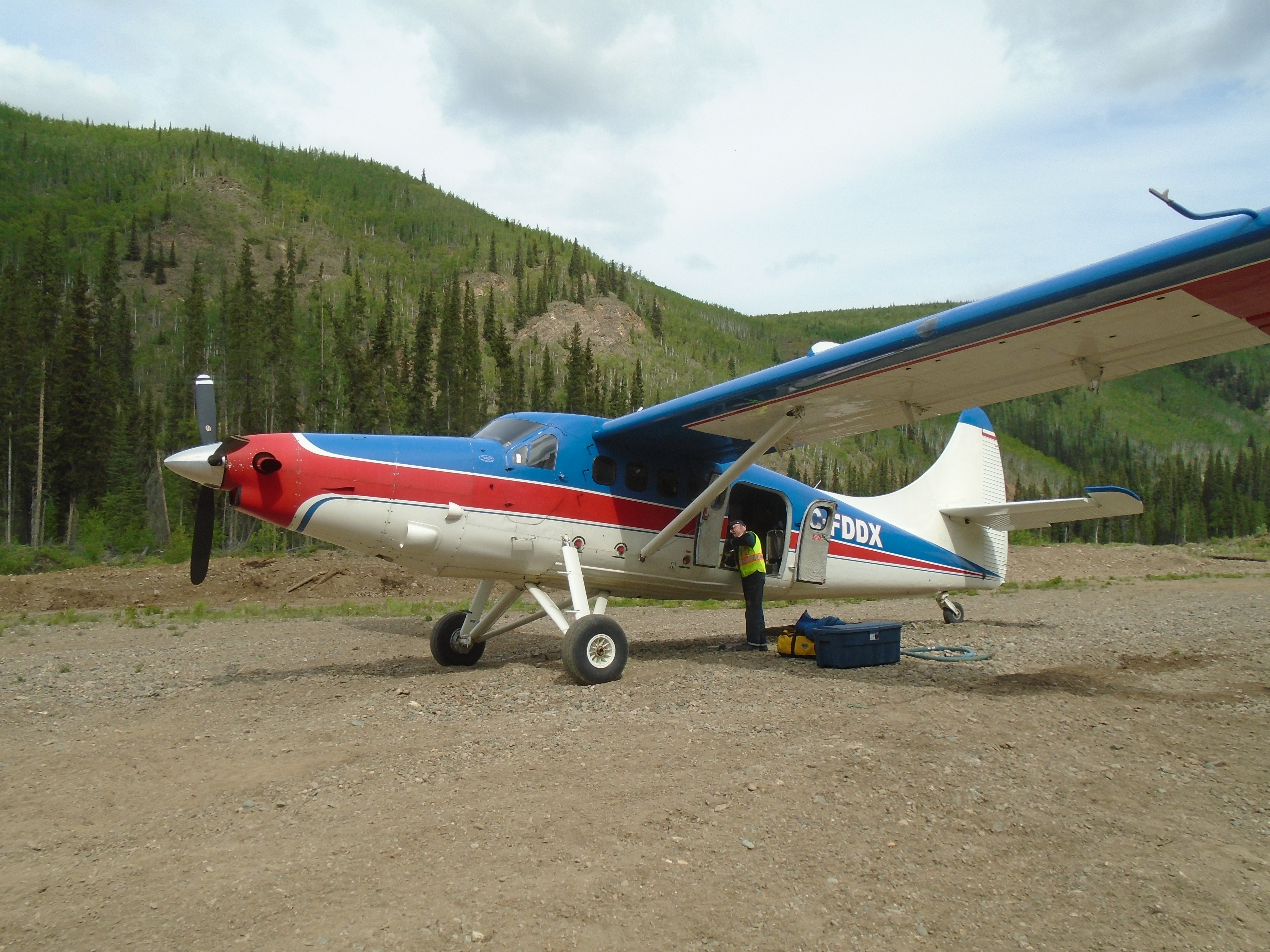
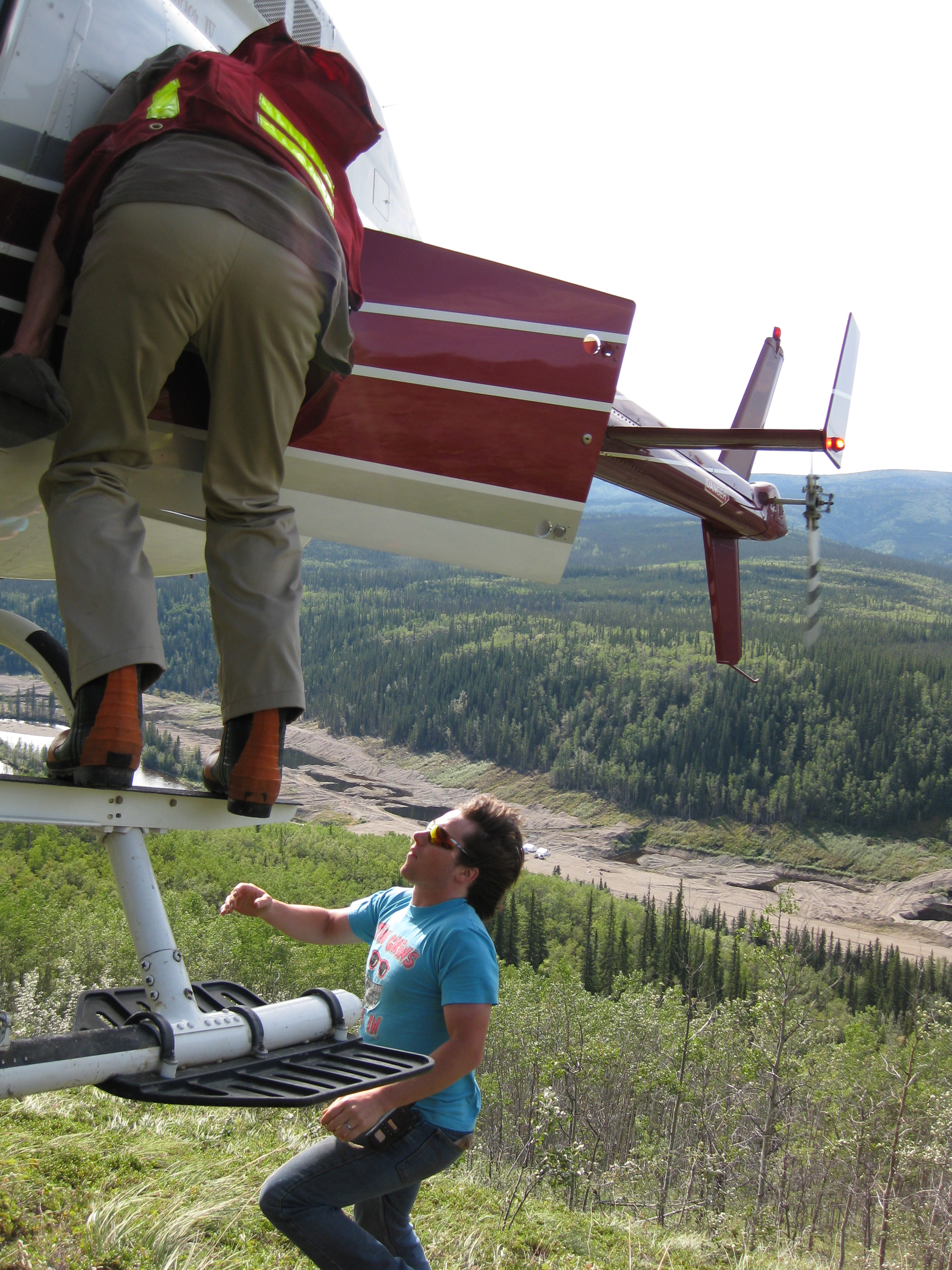
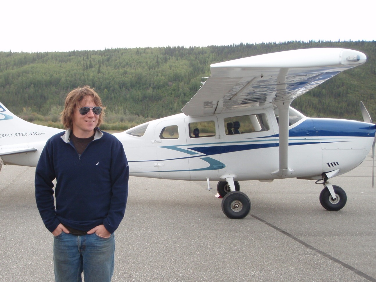
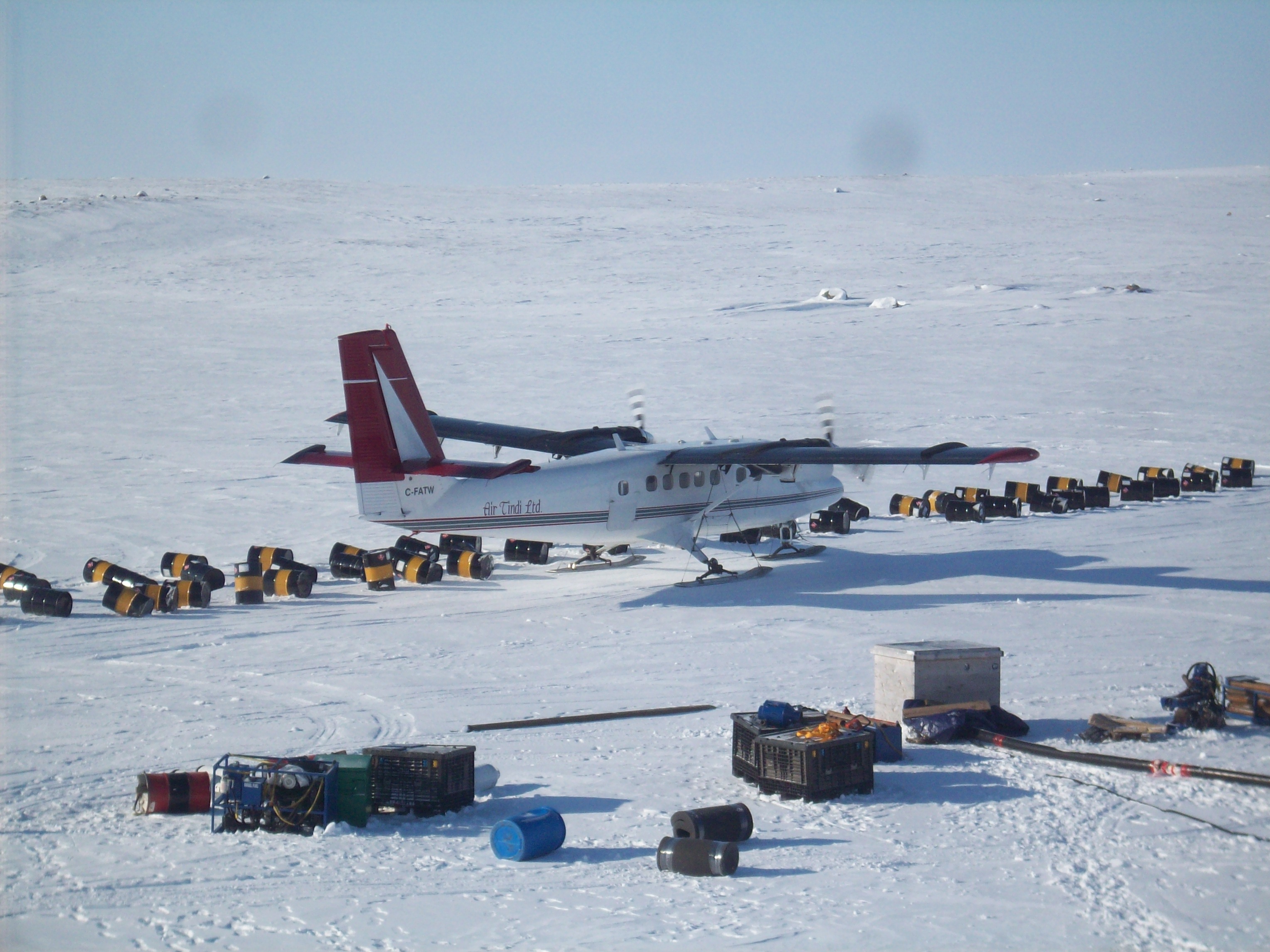
The journey to the site was quite long. First I had to fly from Vancouver, the leg from YVR to Seoul was 12 hours, then an additional 4.5 hours to Ulaanbaatar, the capital city. Ulaanbaatar is a modern city with all the things you would expect. There are luxury hotels, nice restaurants, new cars, paved roads, etc. It is the only modern city in Mongolia. In fact 50% of the entire population of Mongolia (3.4 million) live in Ulaanbaatar. As soon as you leave the city limits you enter the Mongolia that you would expect to see, wide open landscapes and no roads.
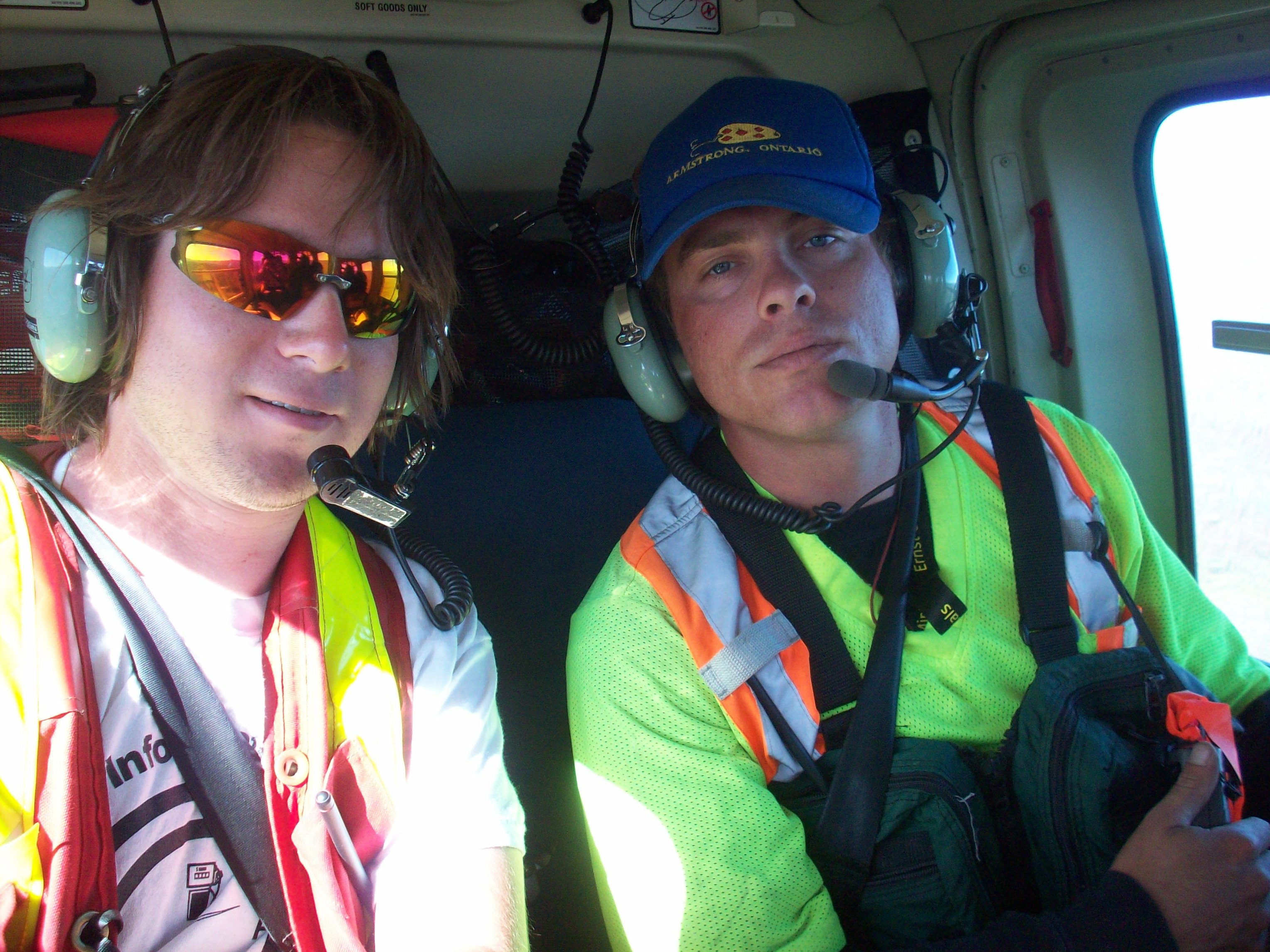
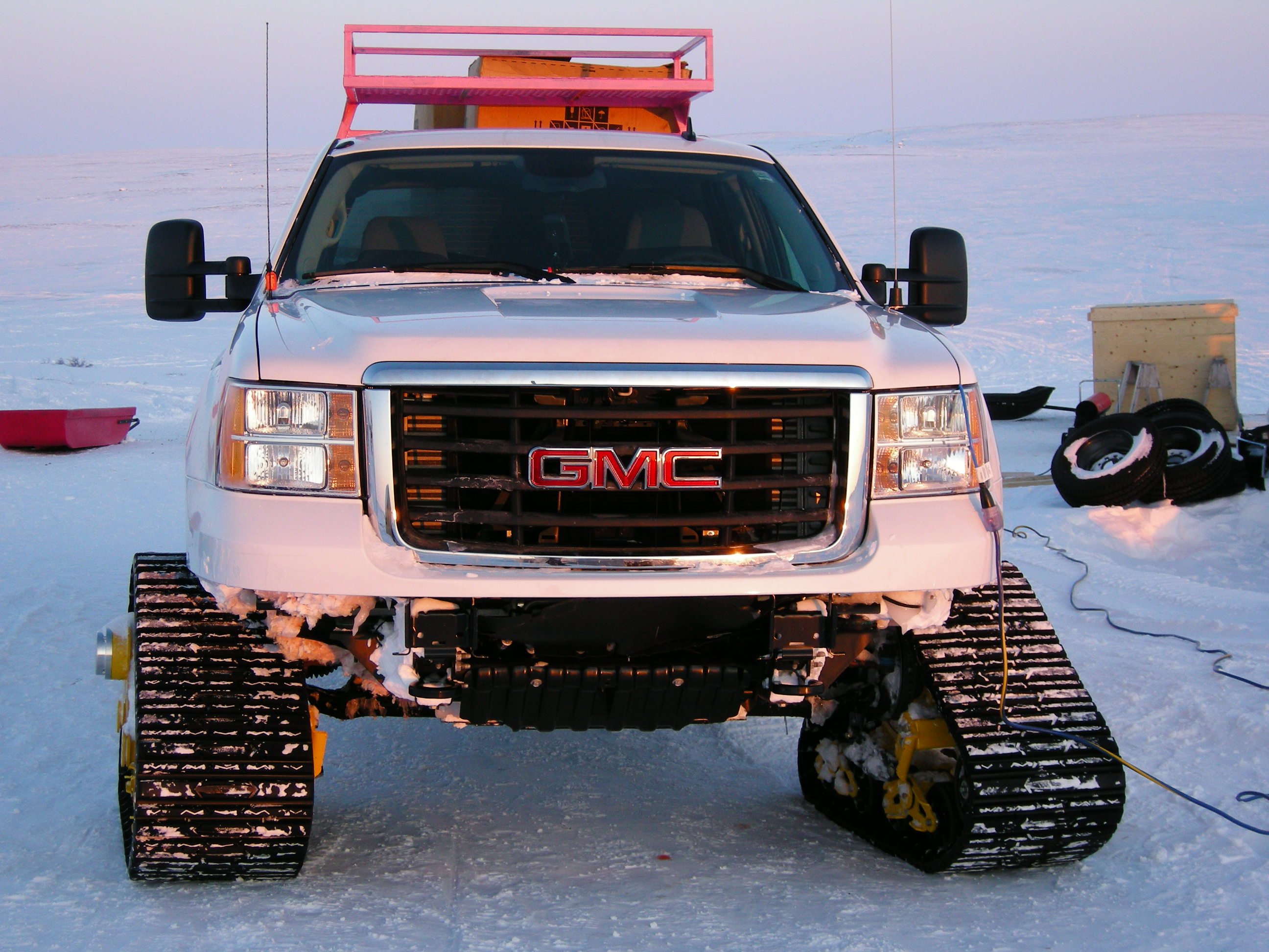
We took a 2-hour flight to the western part of Mongolia to a town called Khovd. It’s a typical Soviet-era town with blocky concrete buildings and wide, utilitarian streets. The town is surrounded by stunning mountains, and it feels like a place where time moves a little slower. The mix of modern life and nomadic culture makes it feel both unique and stuck in a time capsule. The placer claims were an additional 6 hour drive, off road from there.


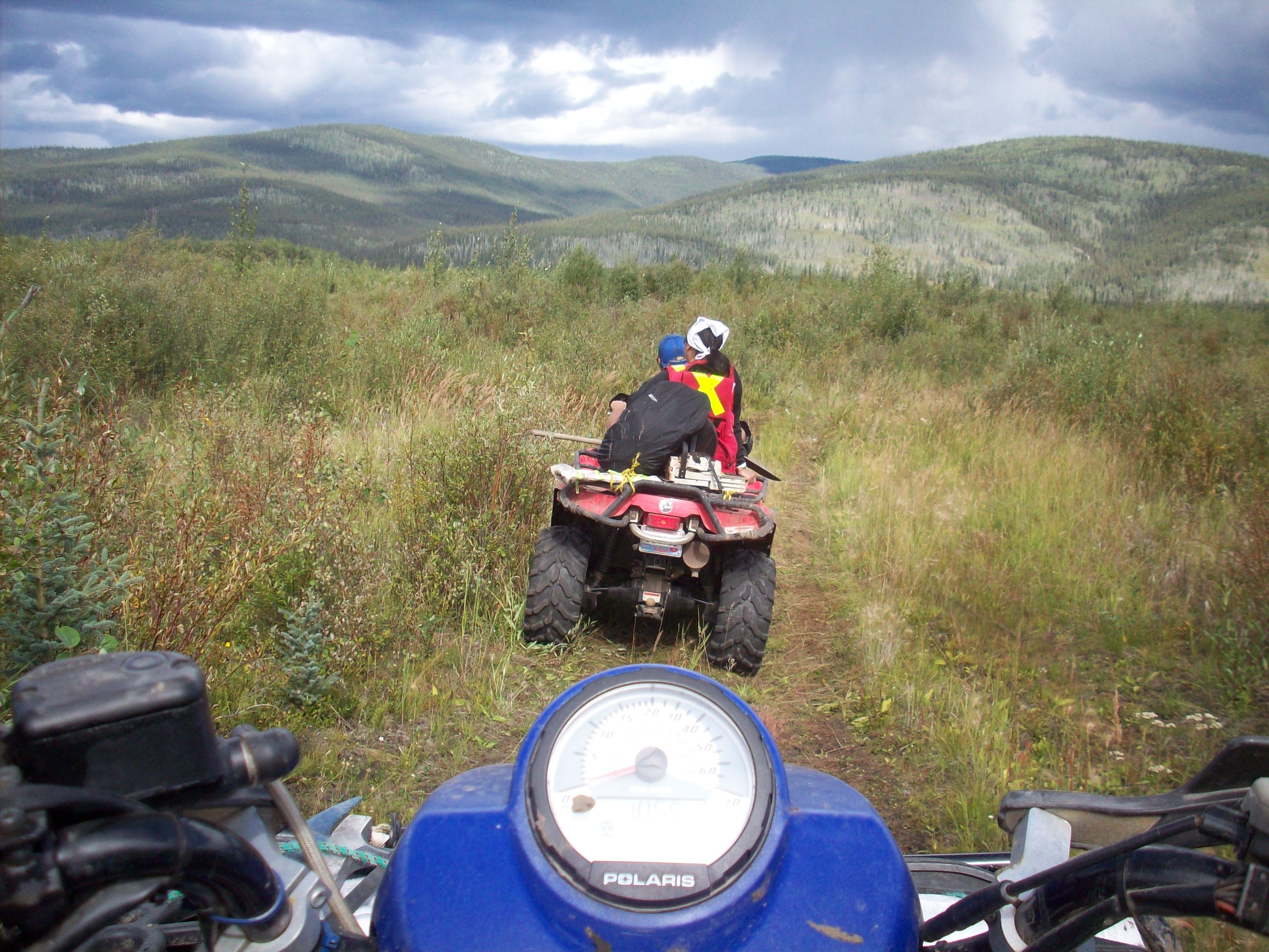
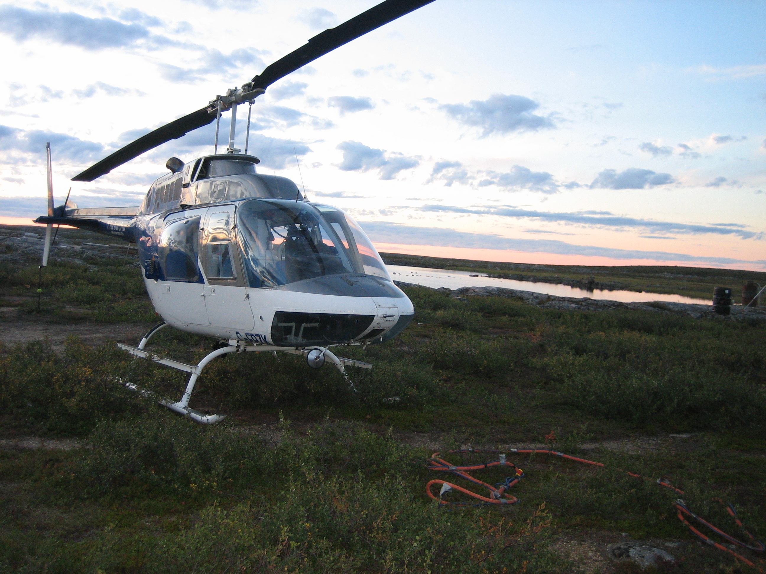
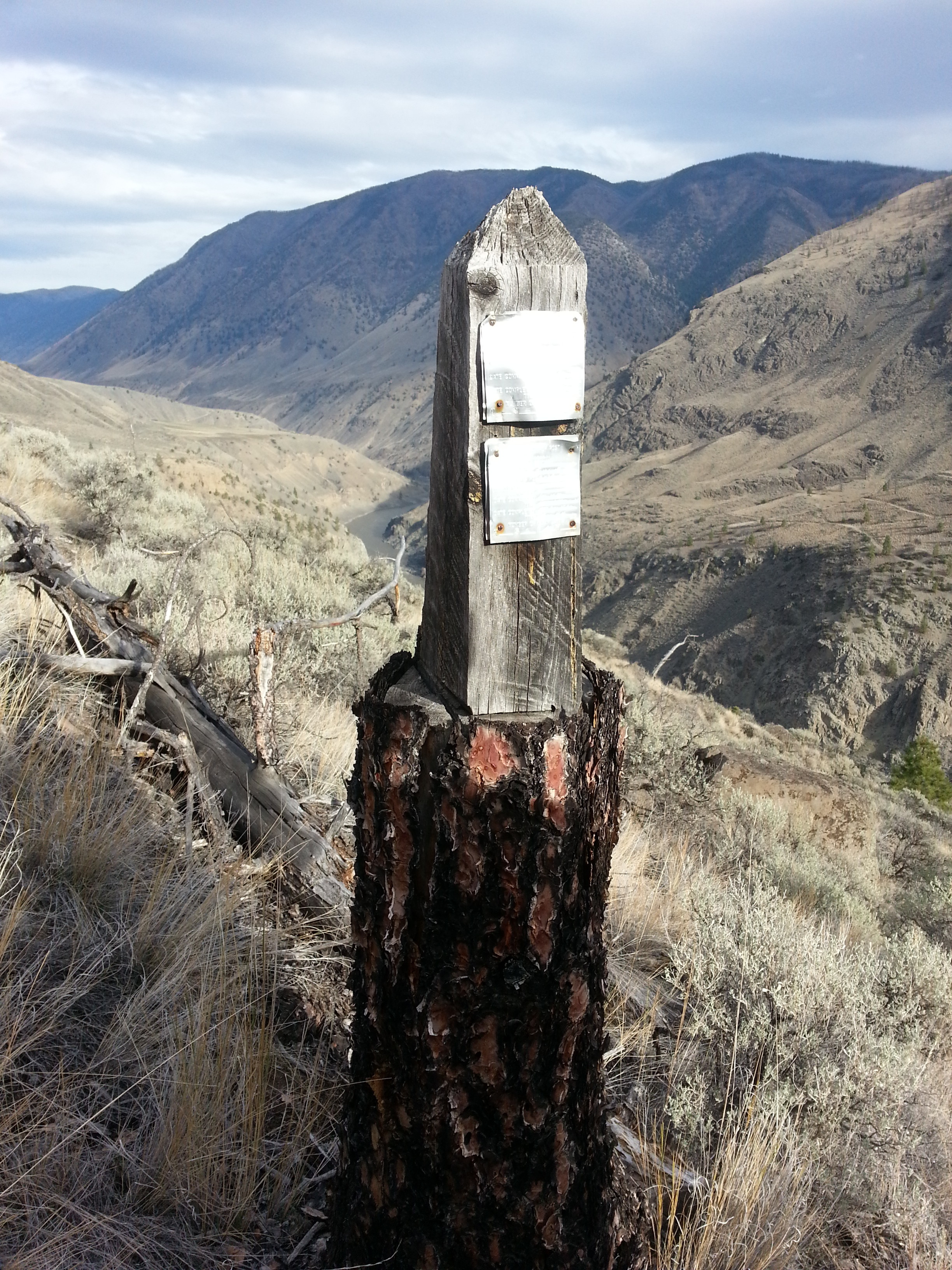
It’s actually amazing that drivers in Mongolia can figure out where to go as there are no roads in most of the country. We traveled for hours through the desert and randomly ran into a road sign. It’s really important to have a local driver as Google Maps isn’t going to be very useful in this country.
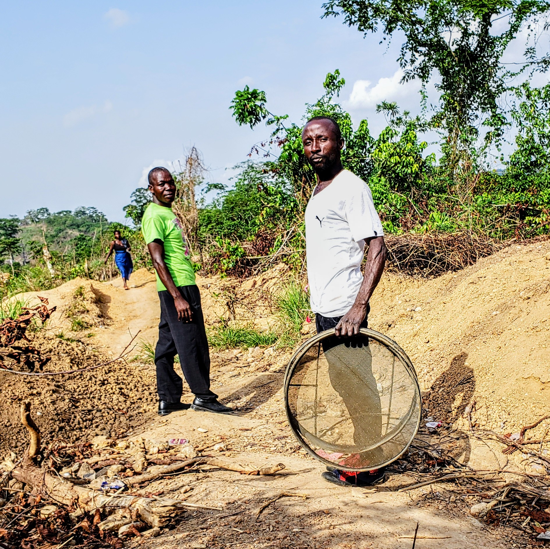
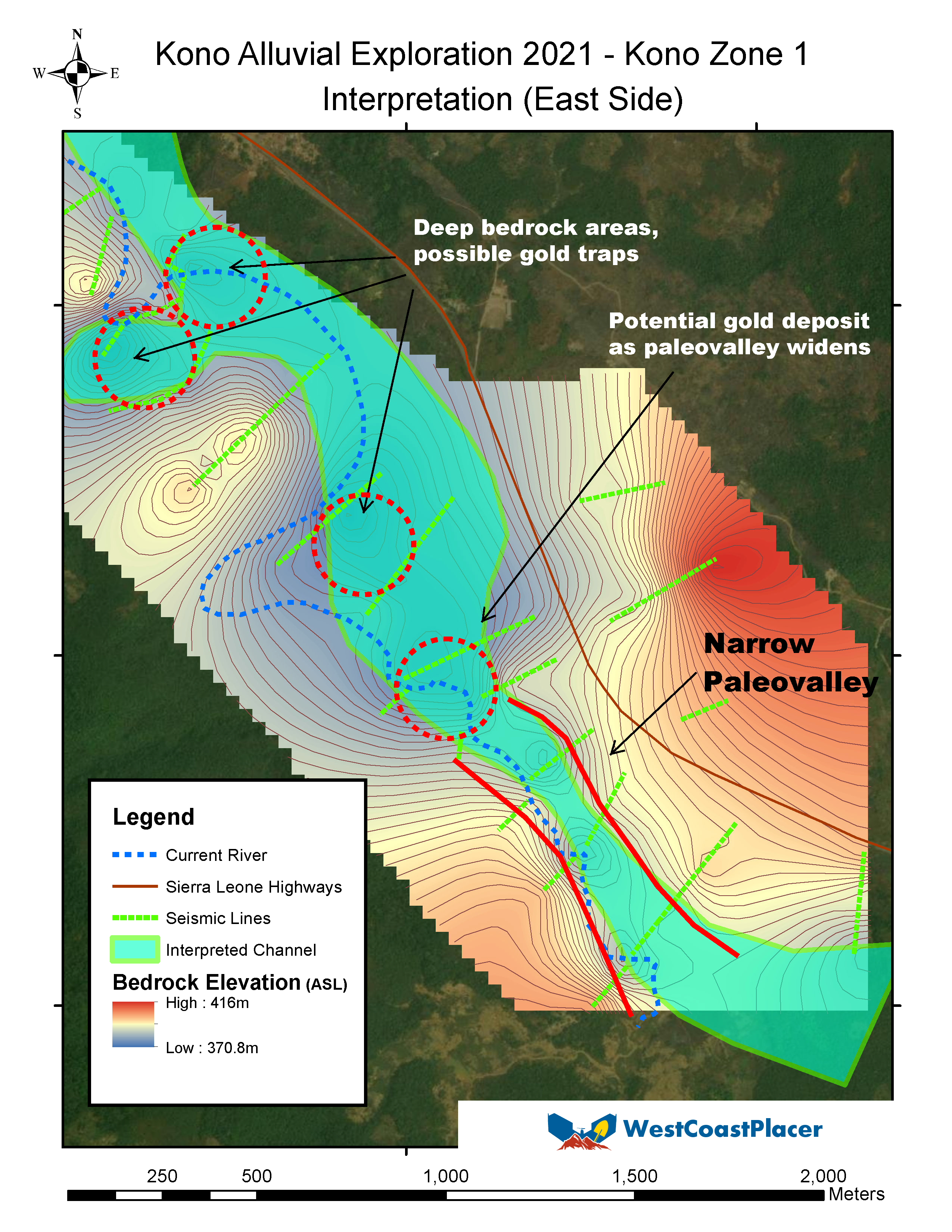
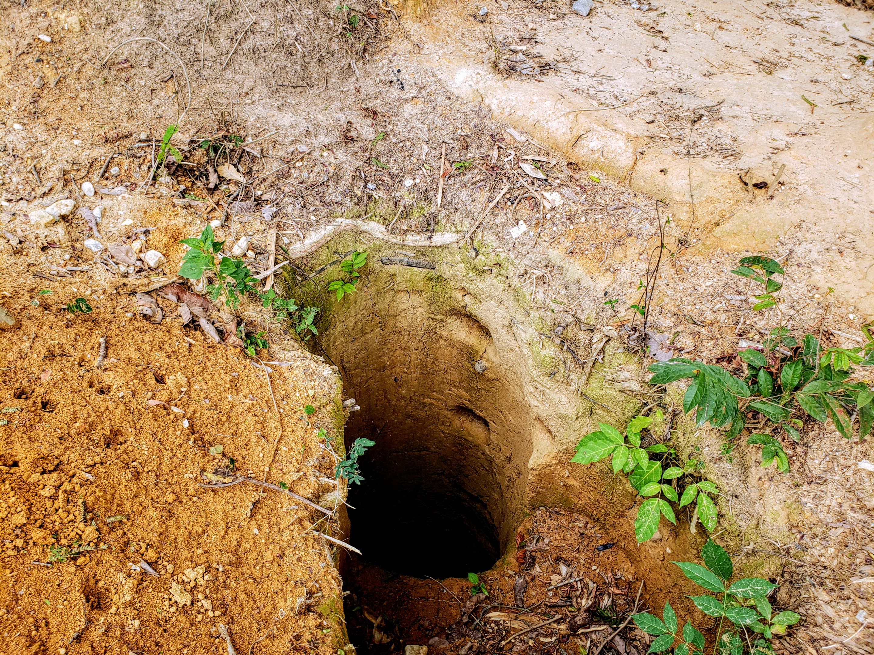
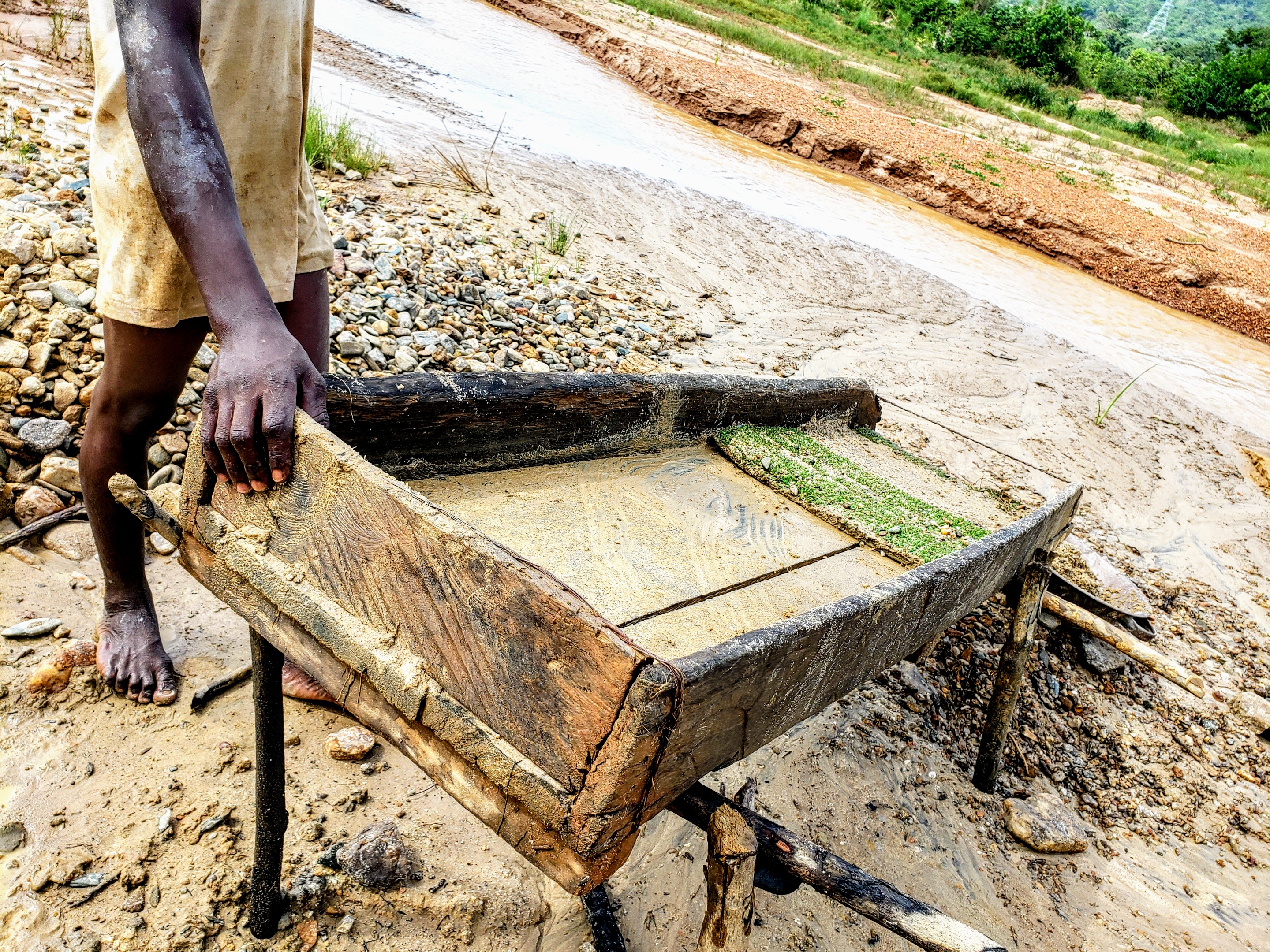
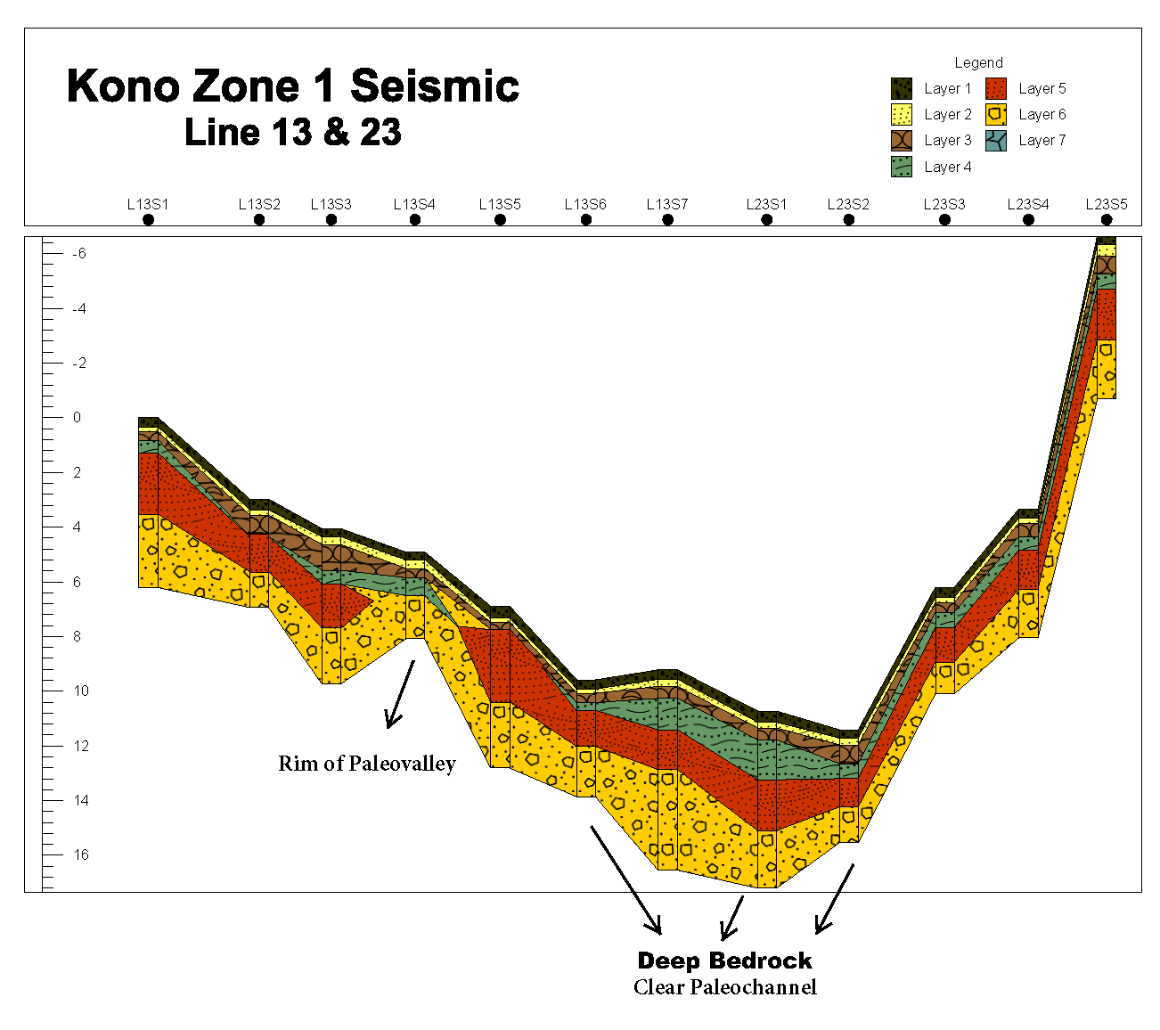
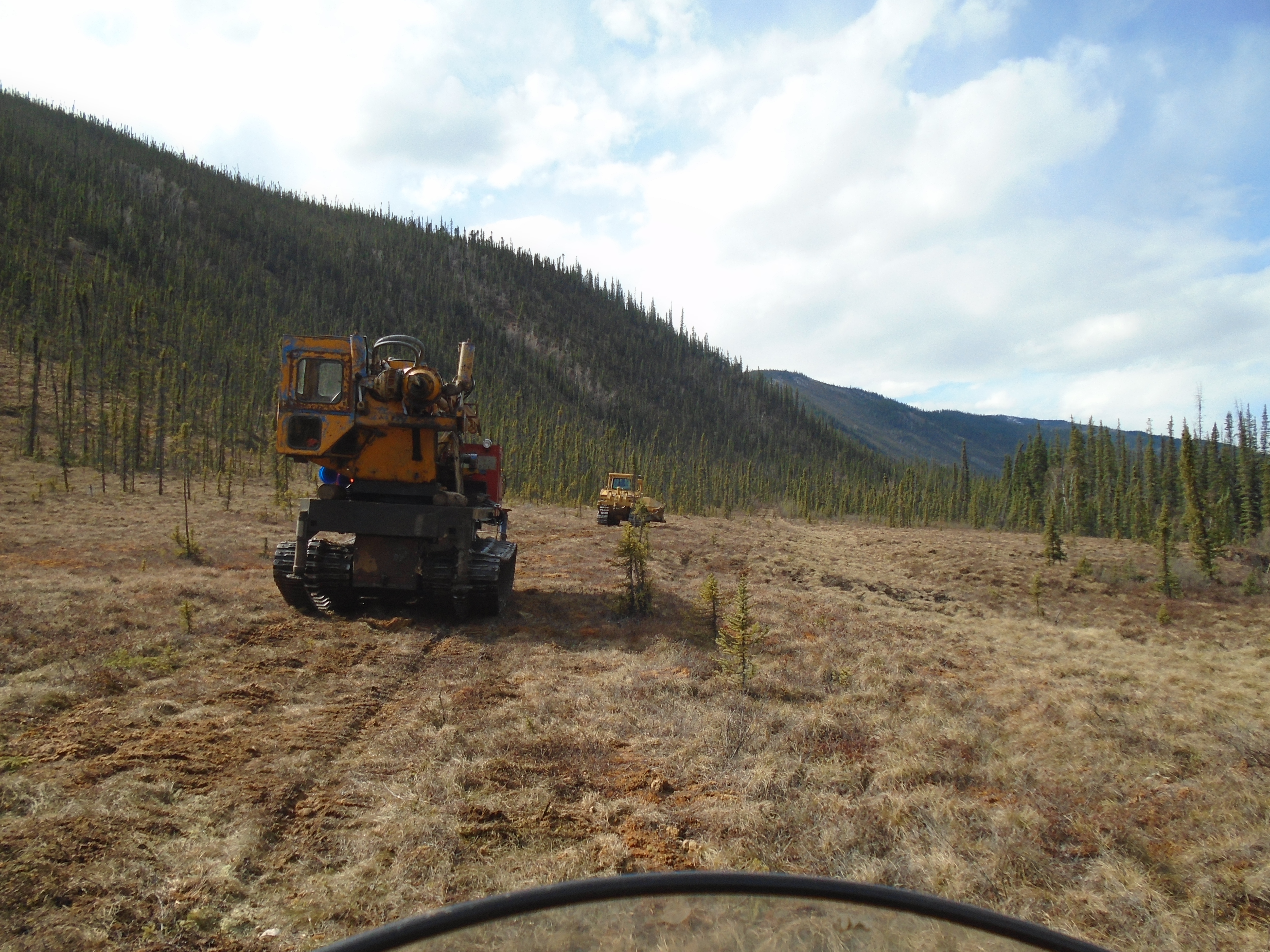
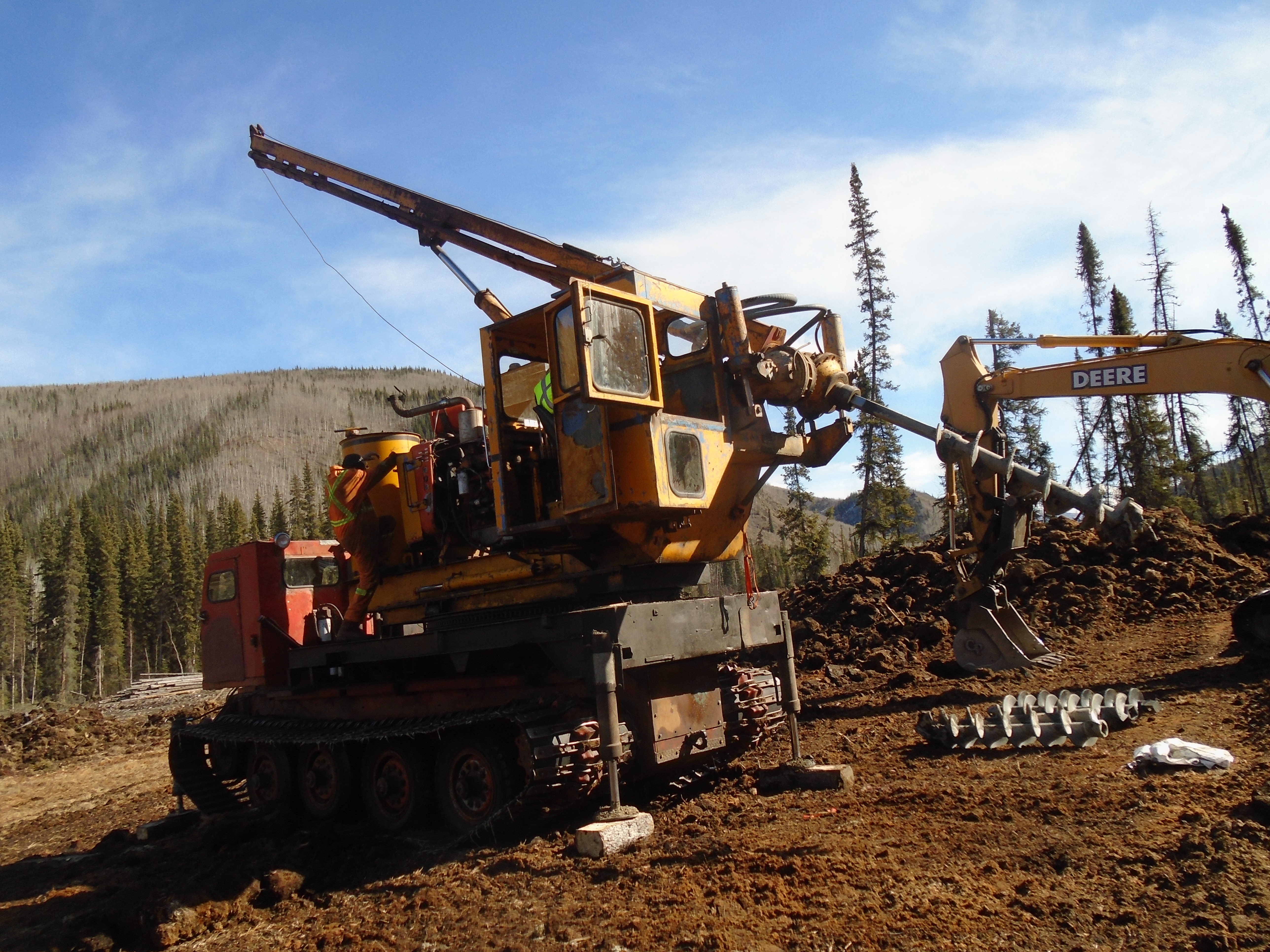
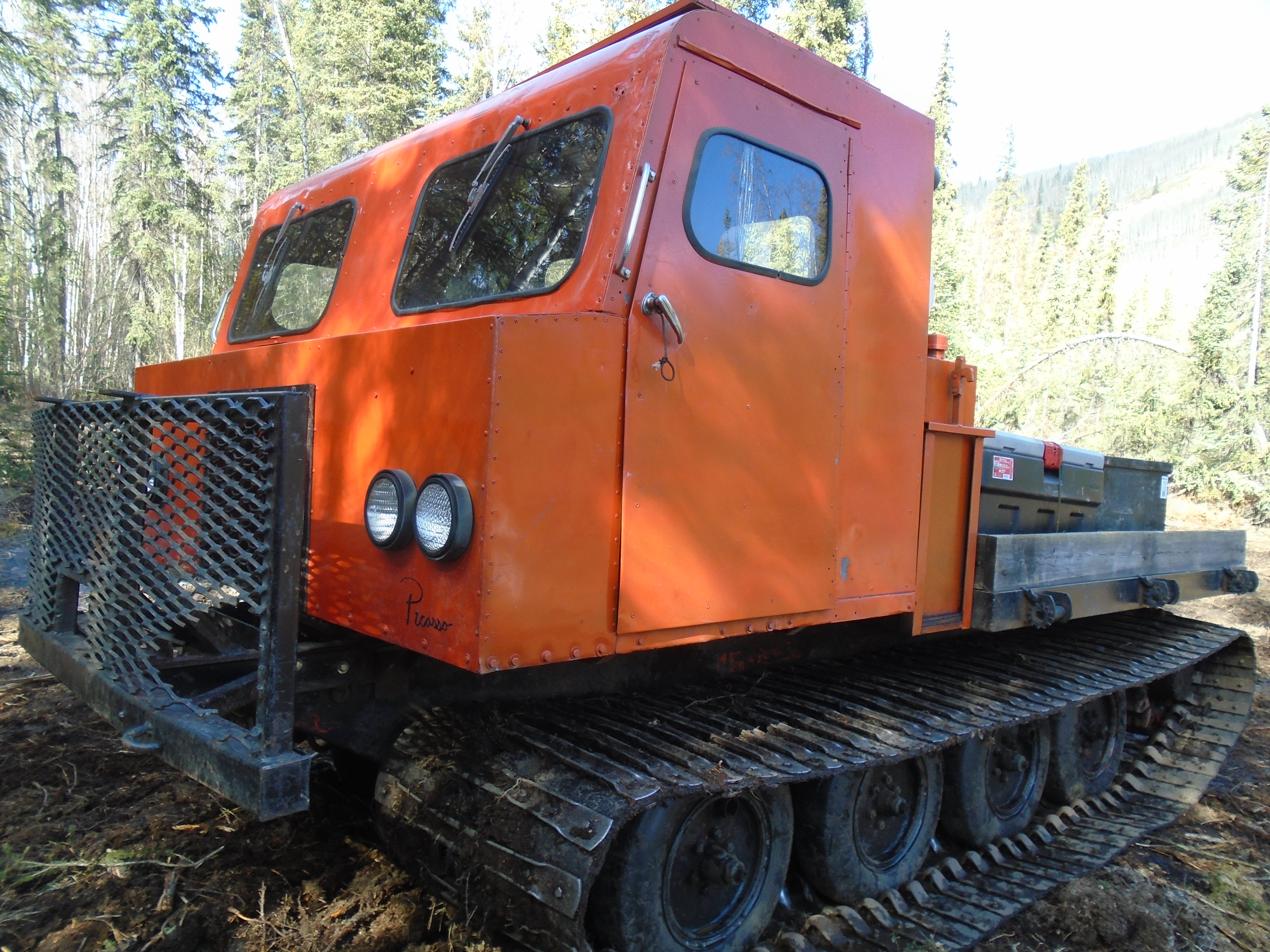
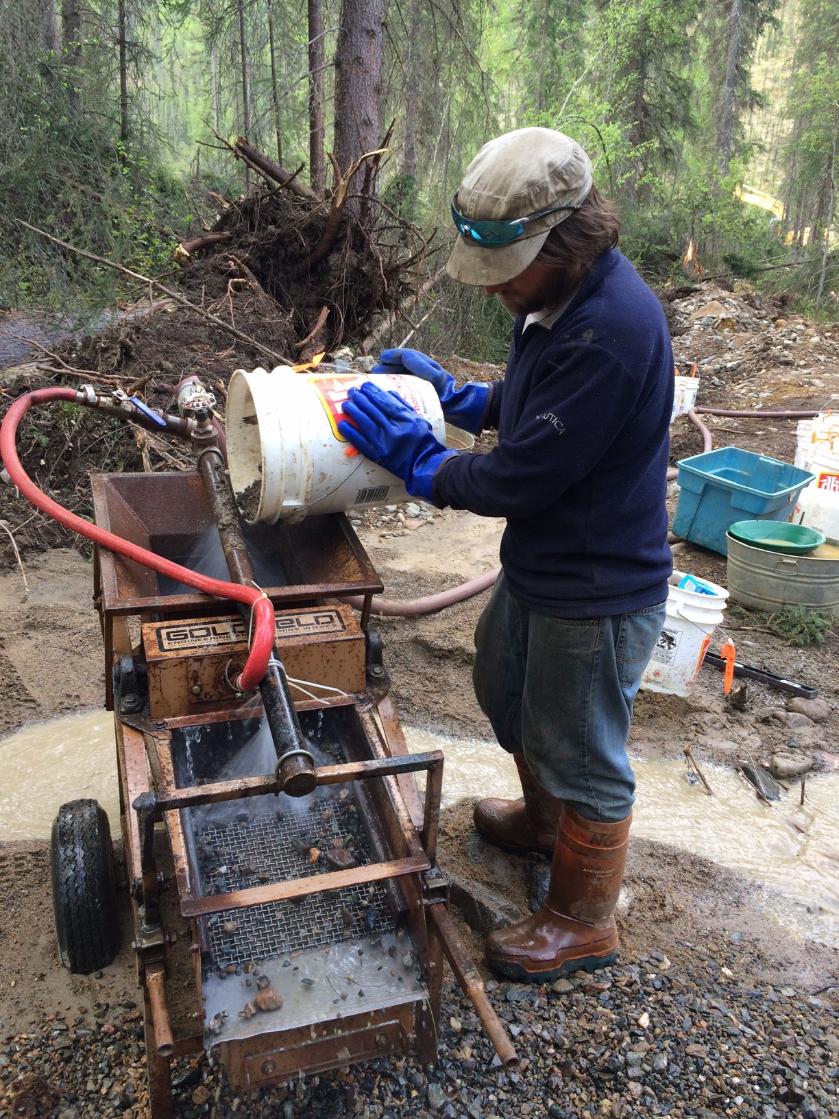
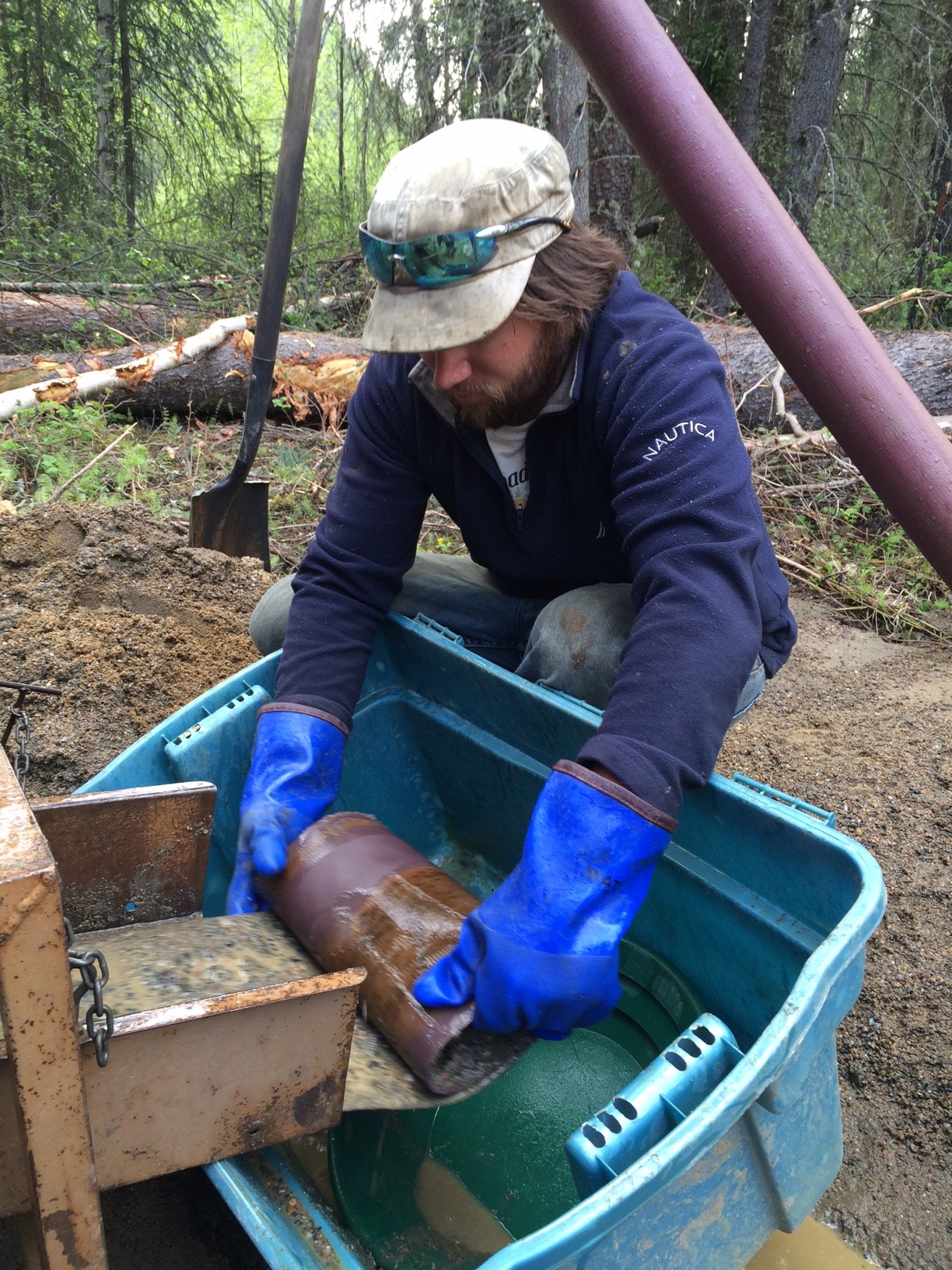
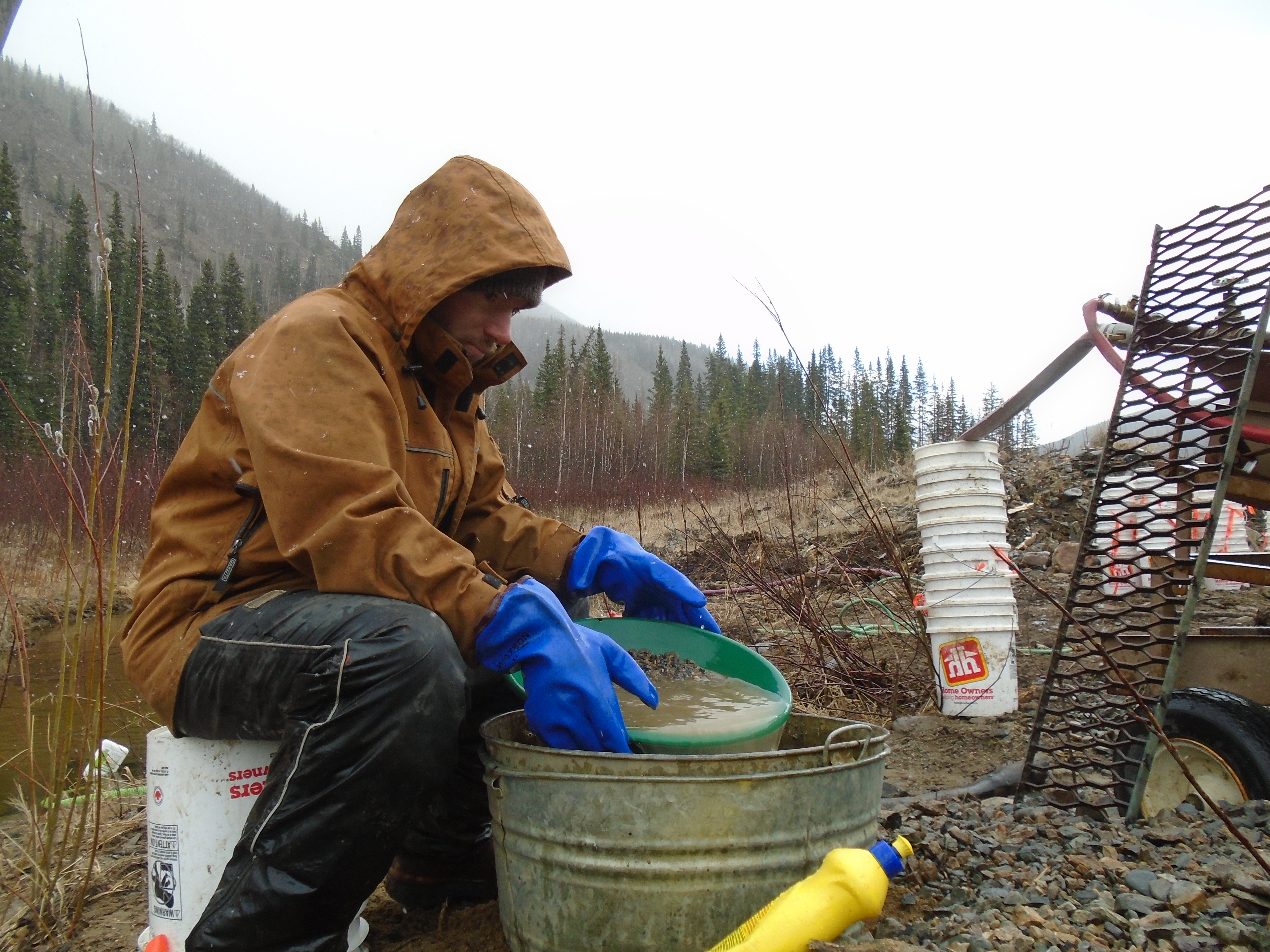
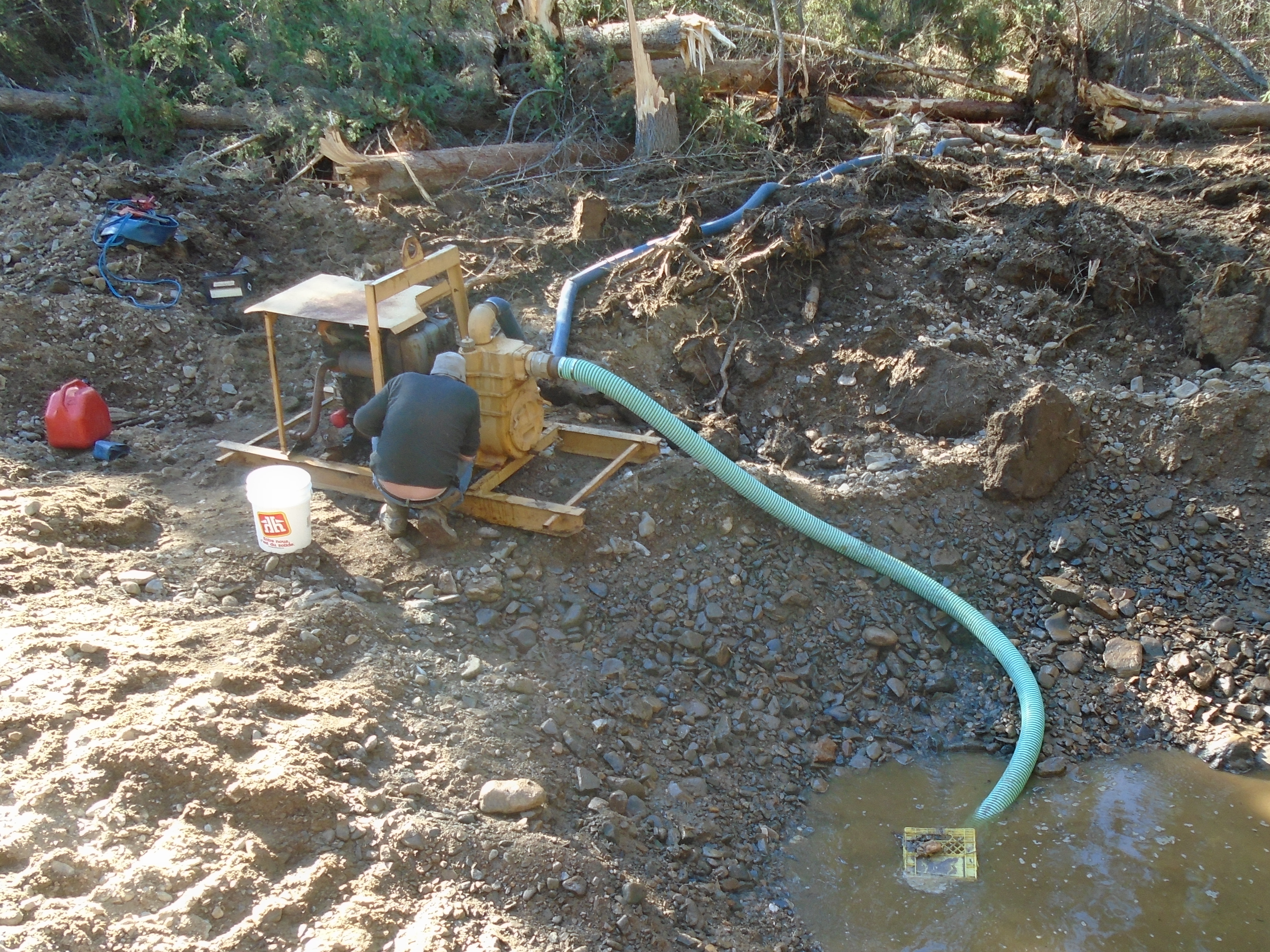
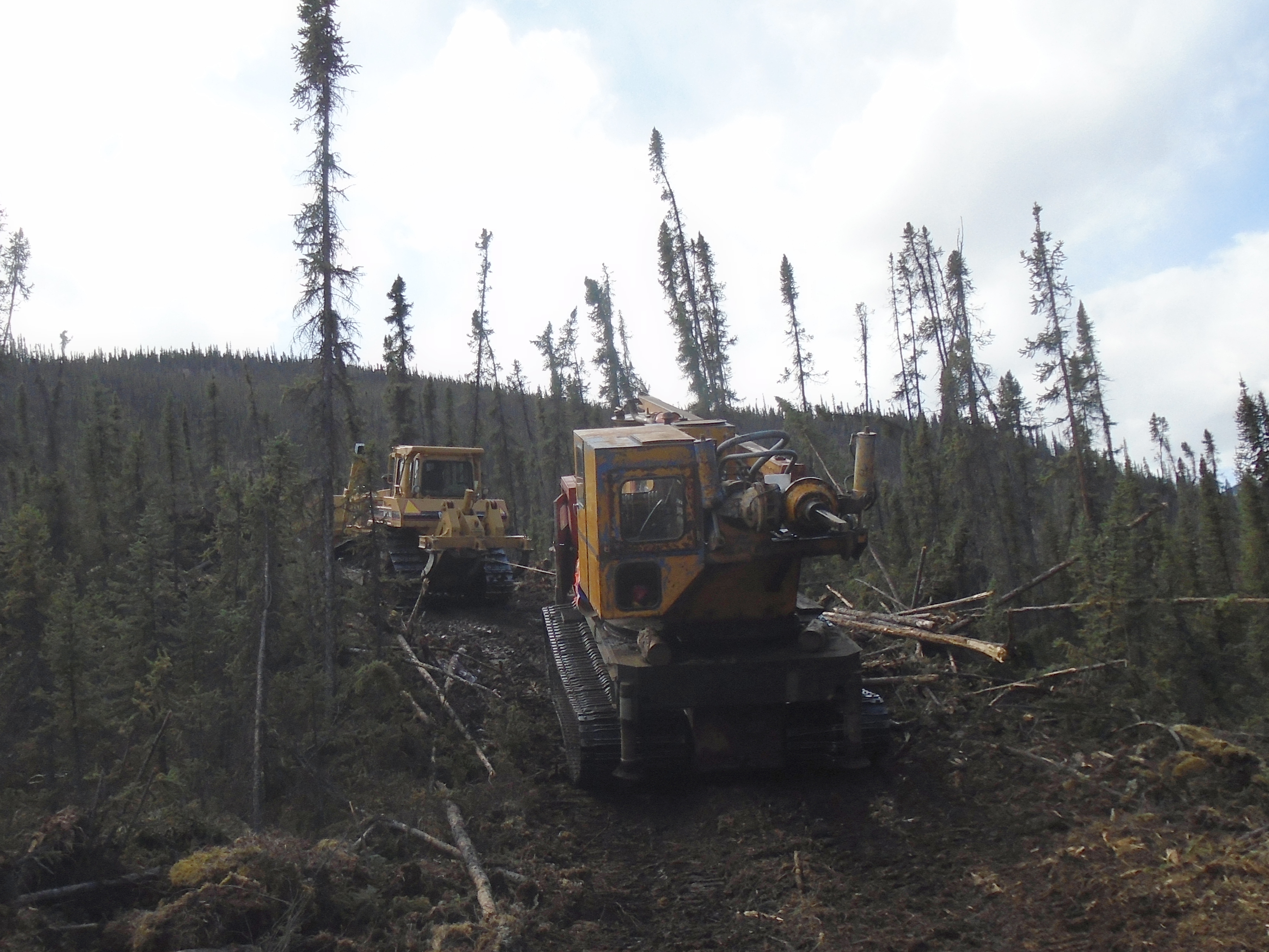
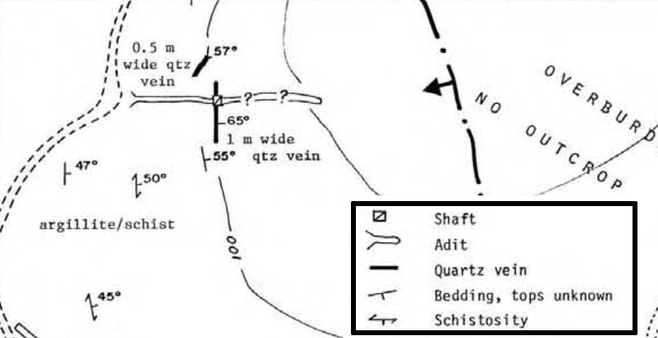
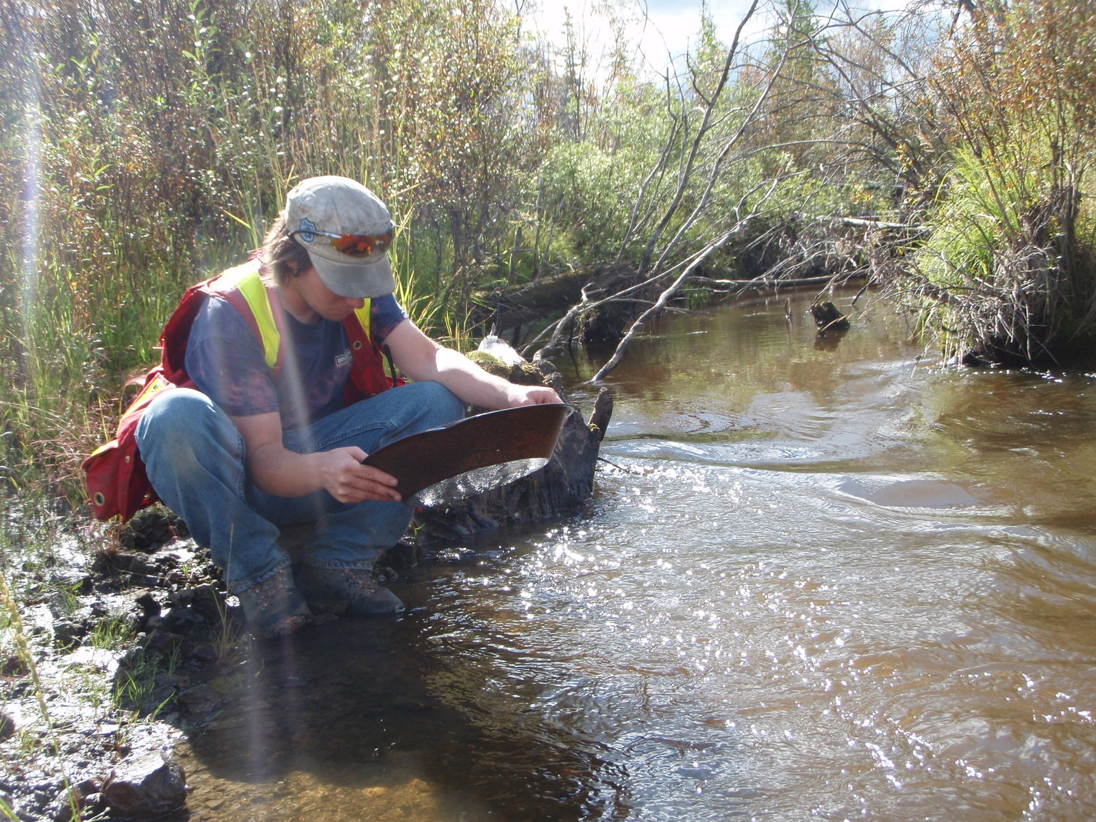
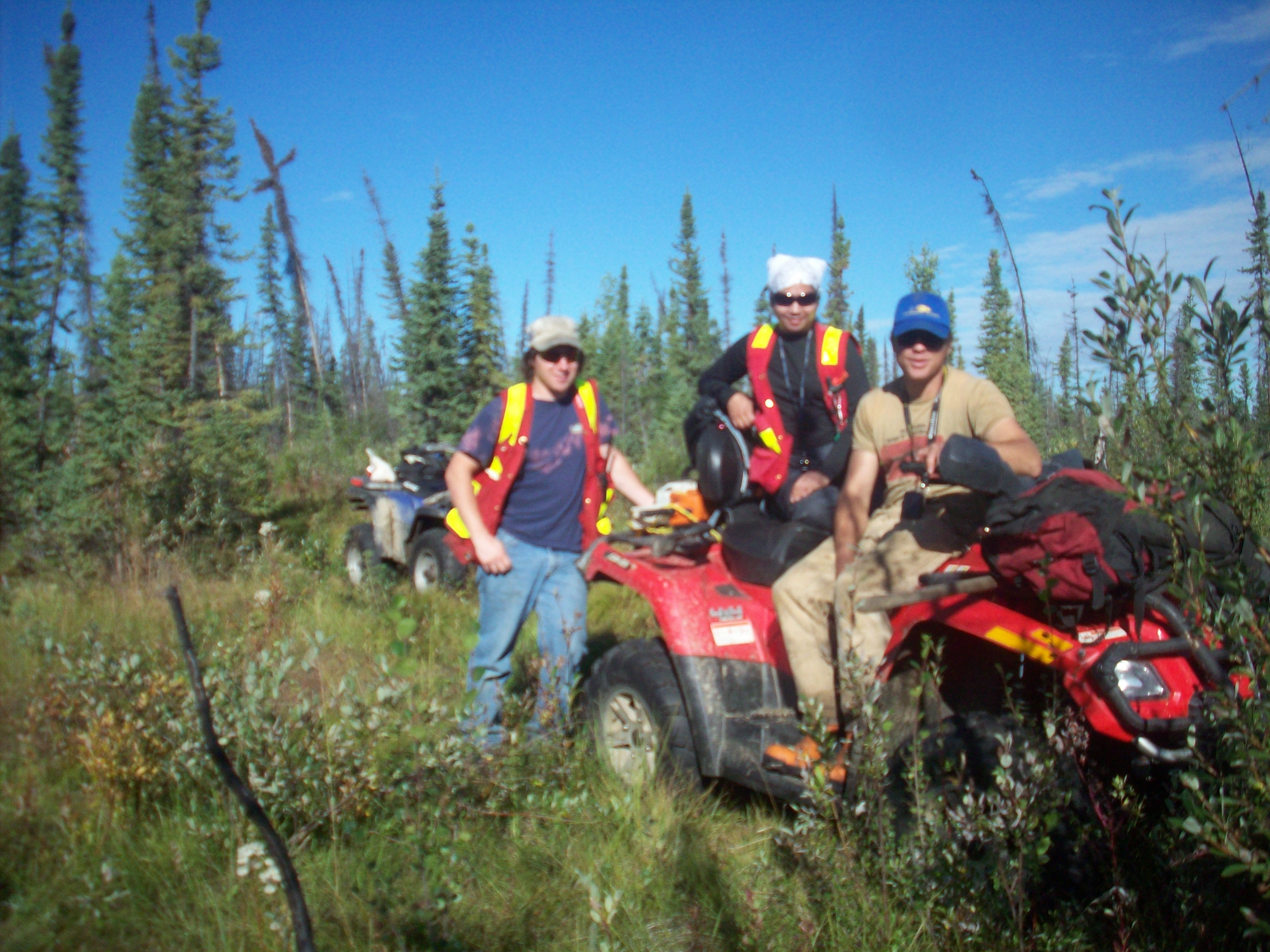
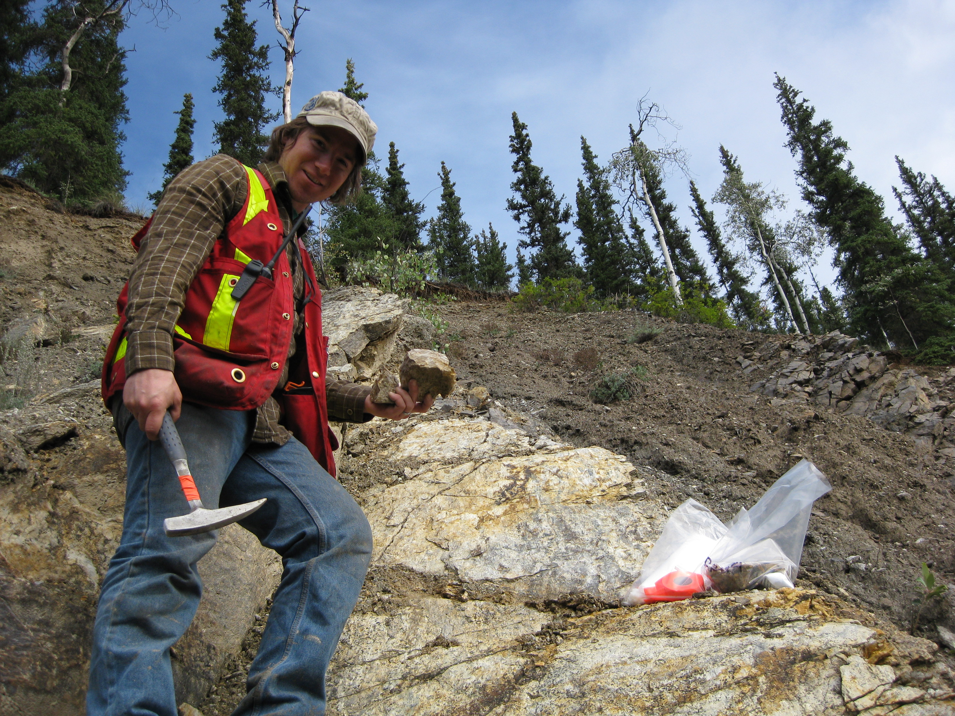
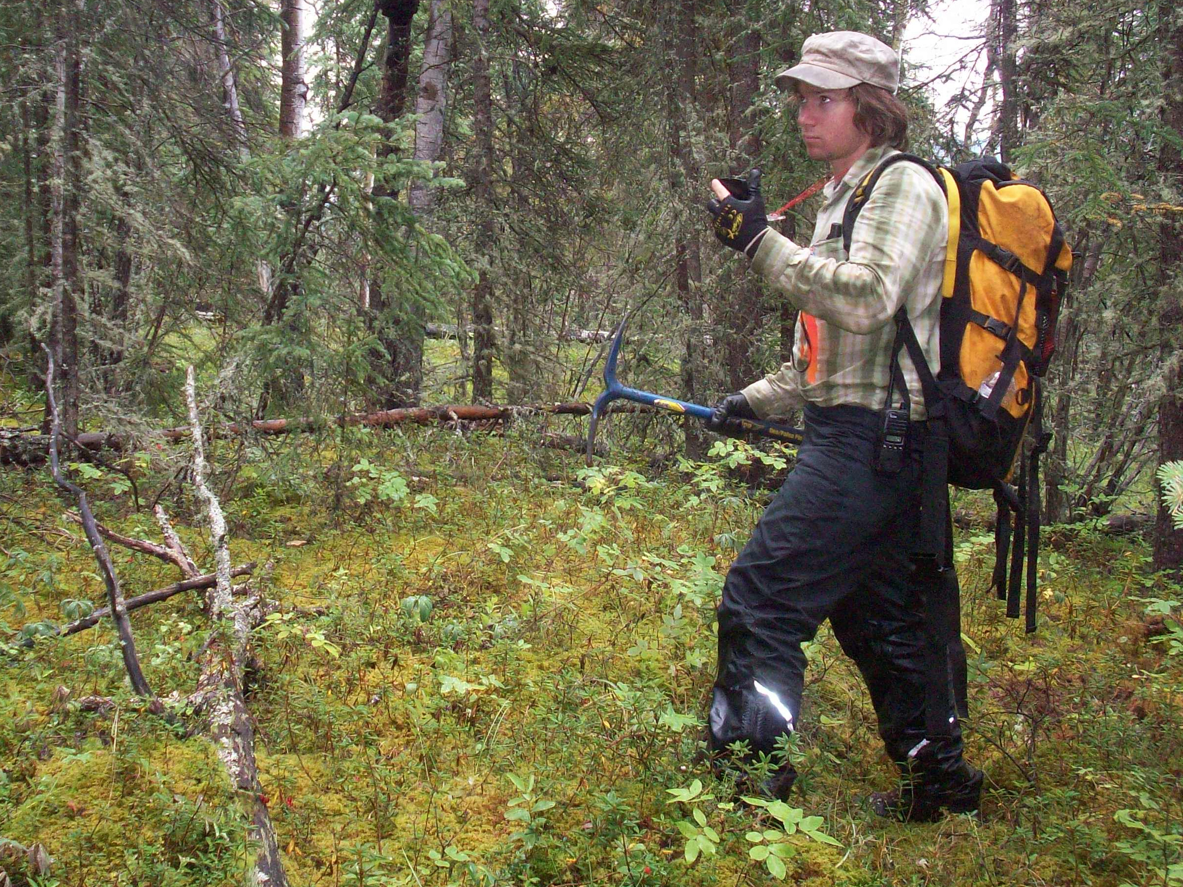
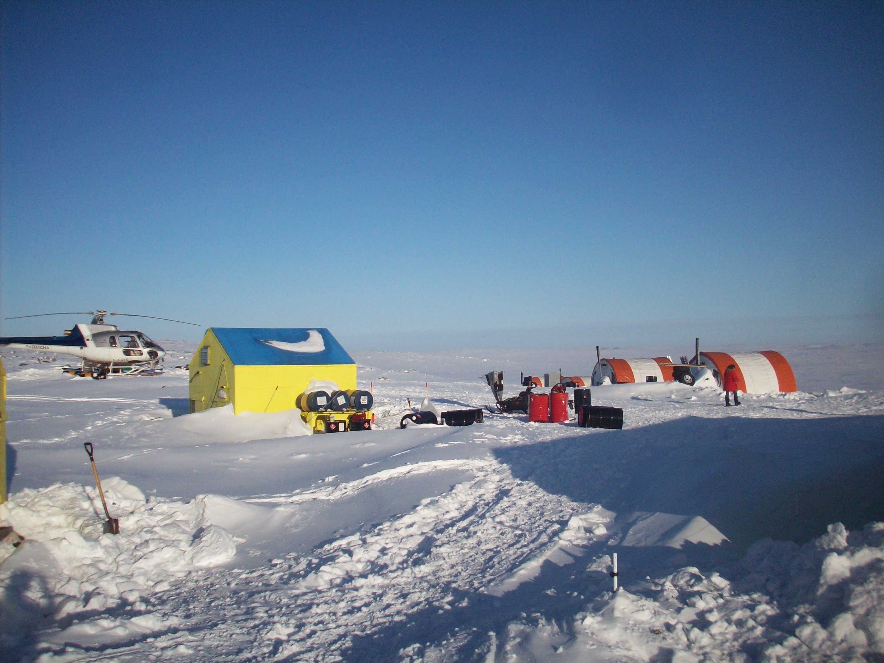
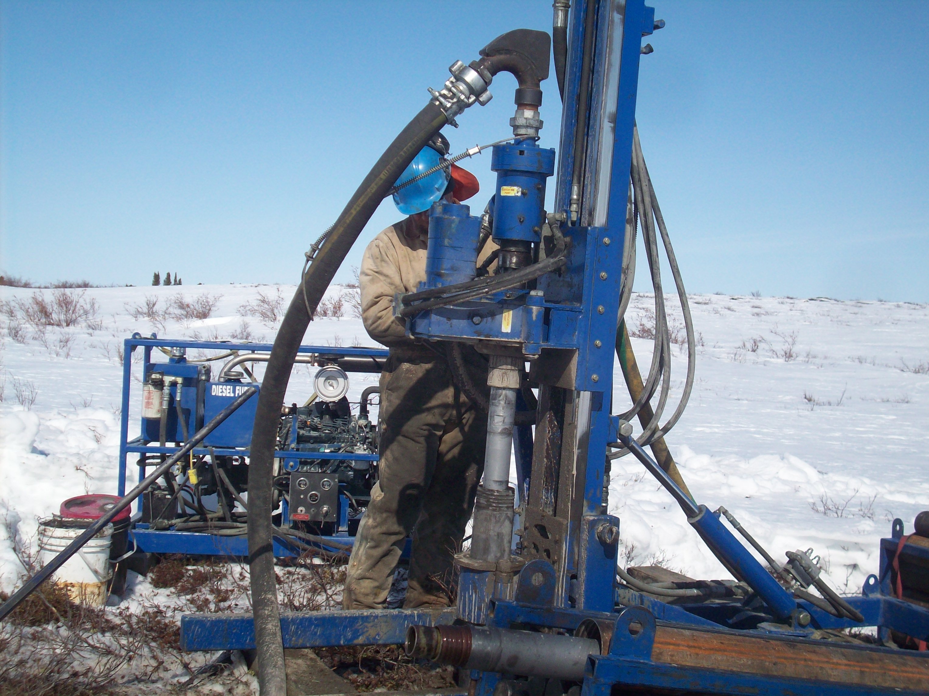
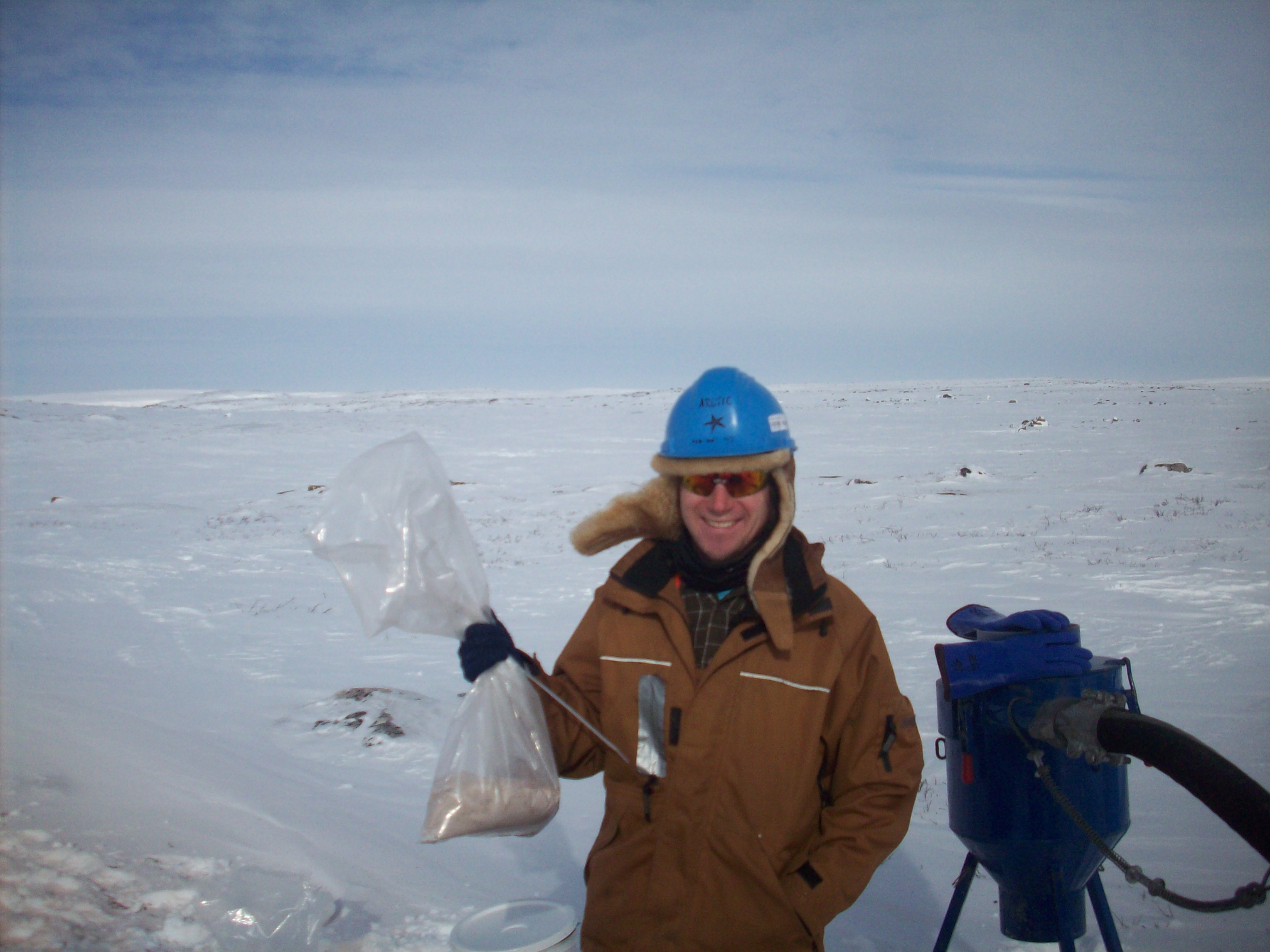
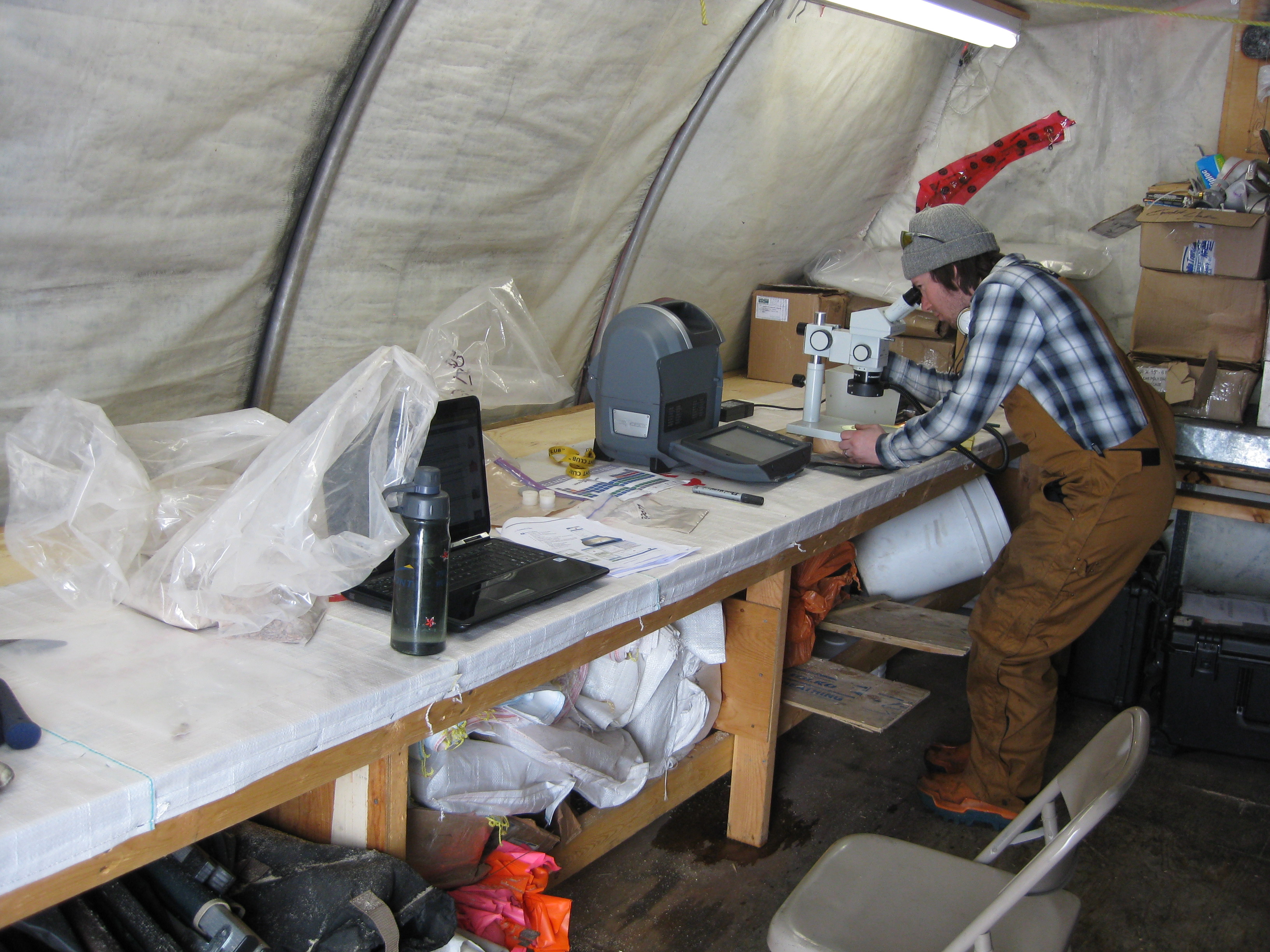
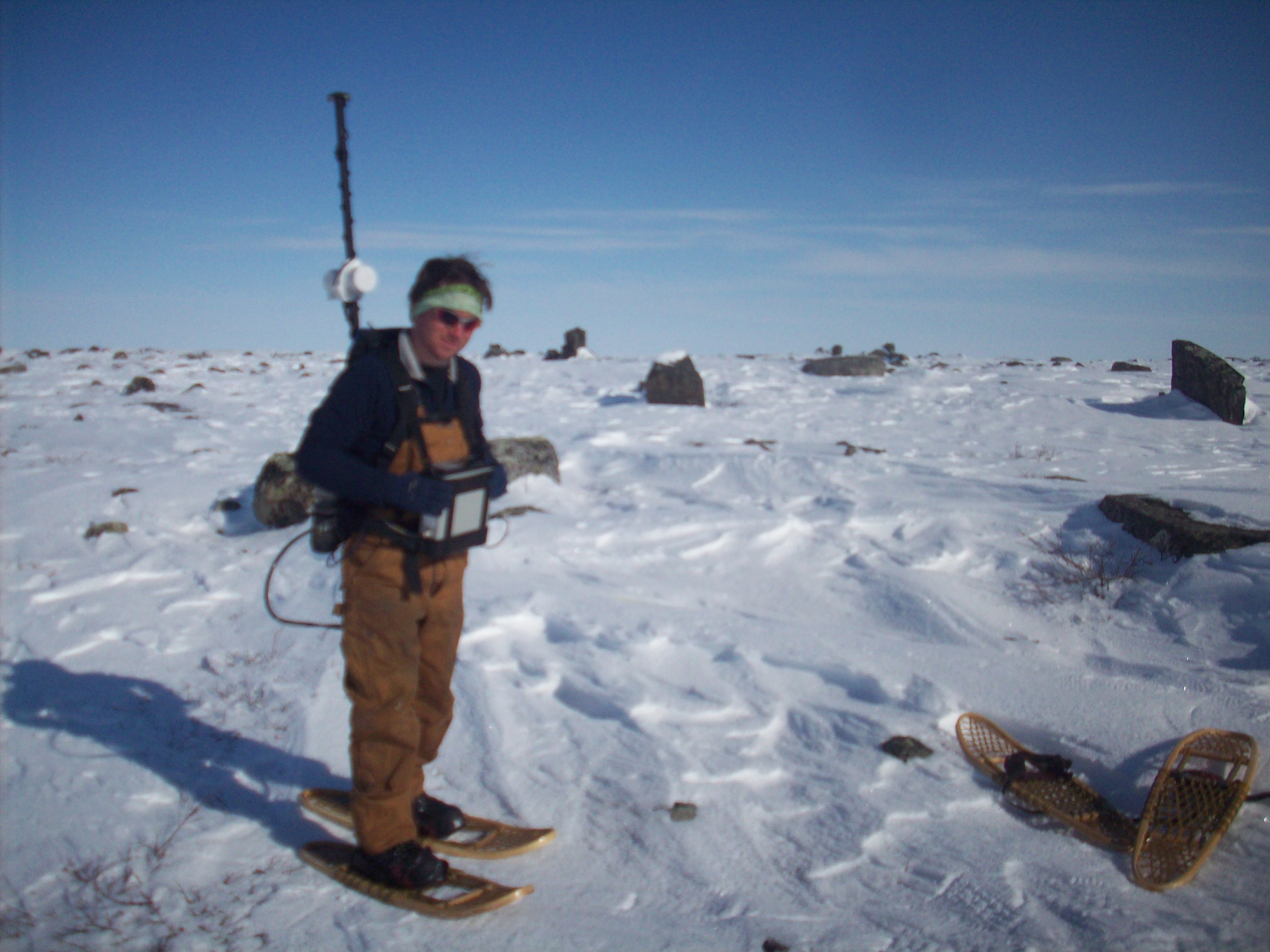
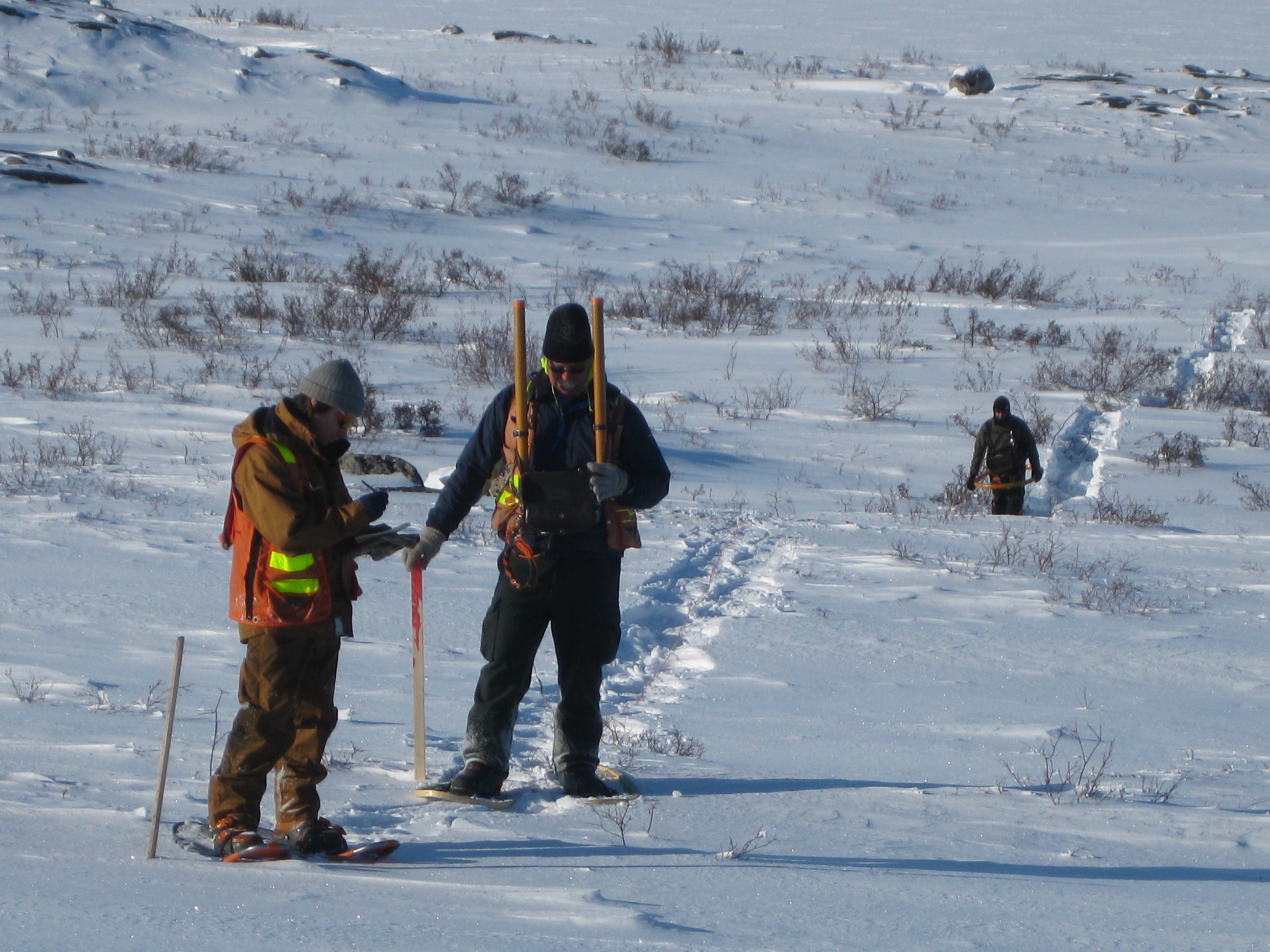
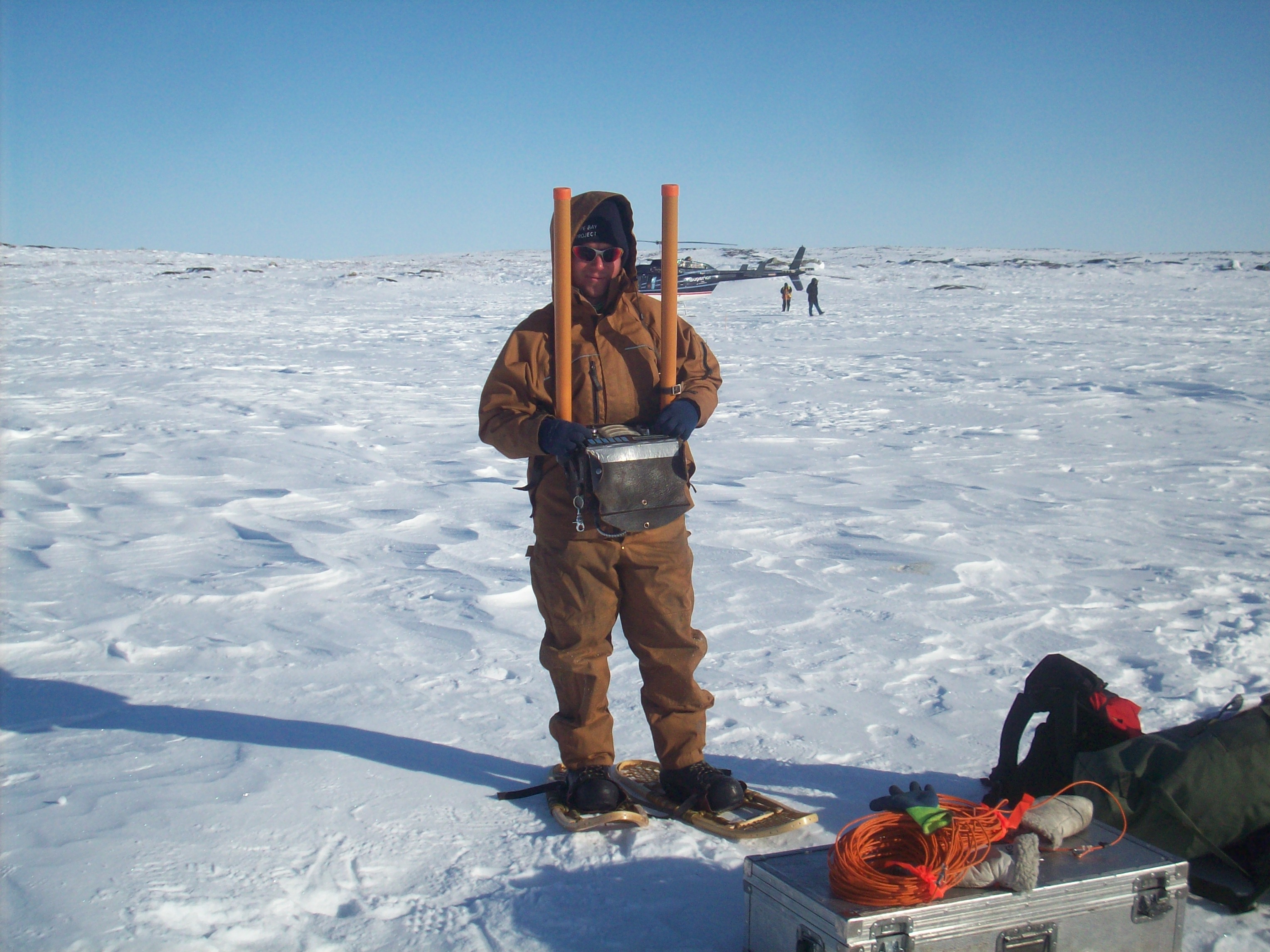
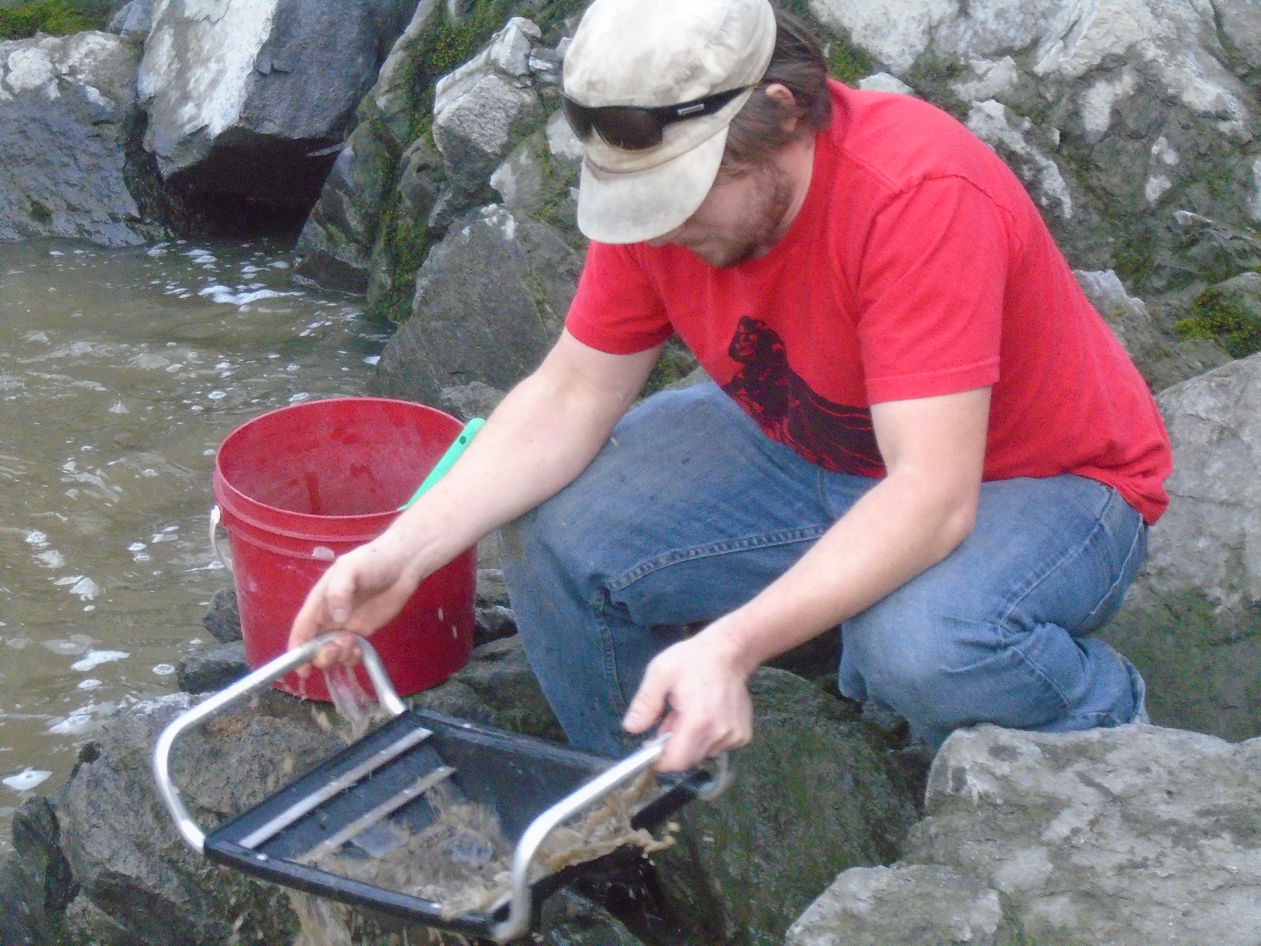
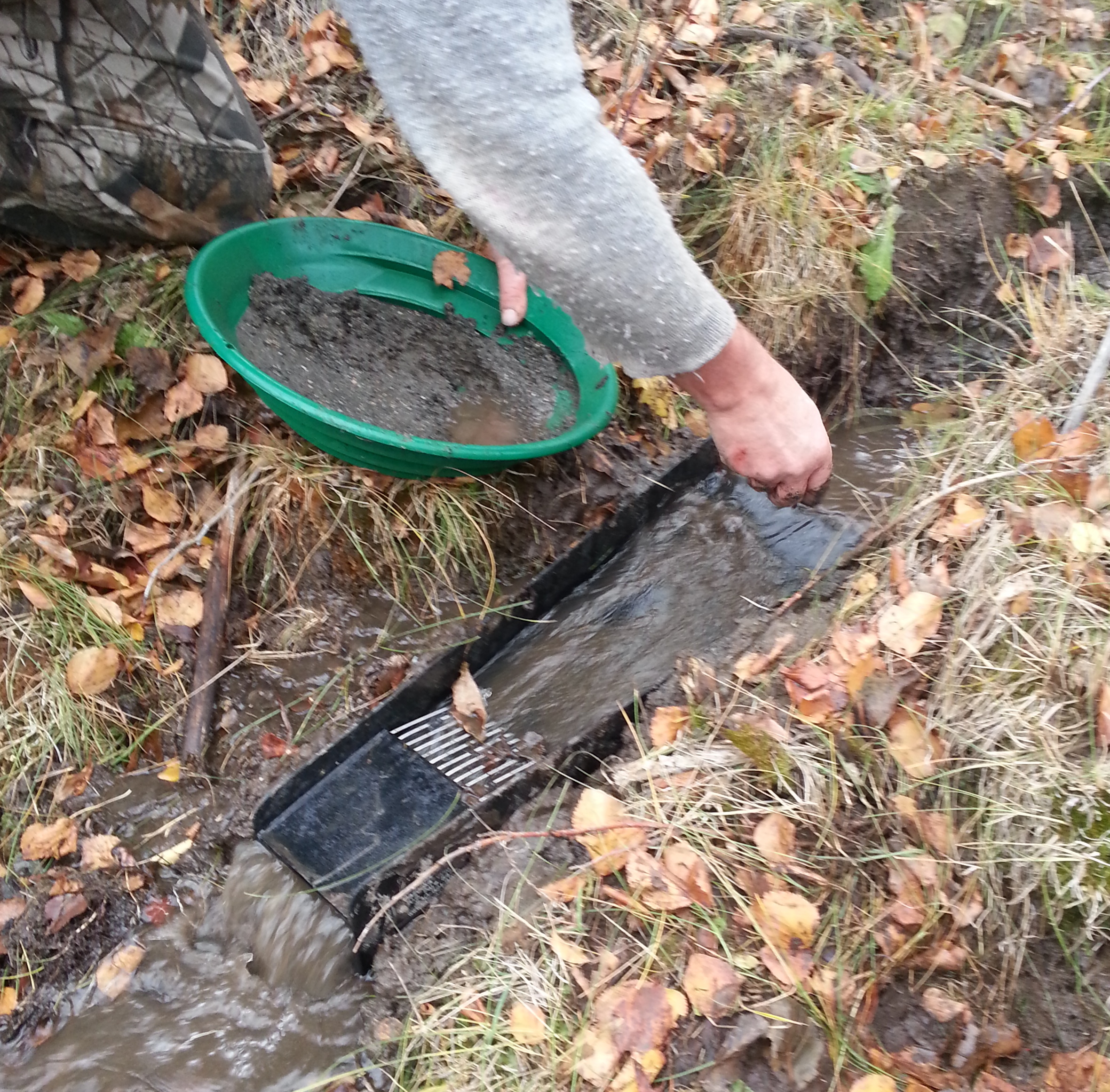
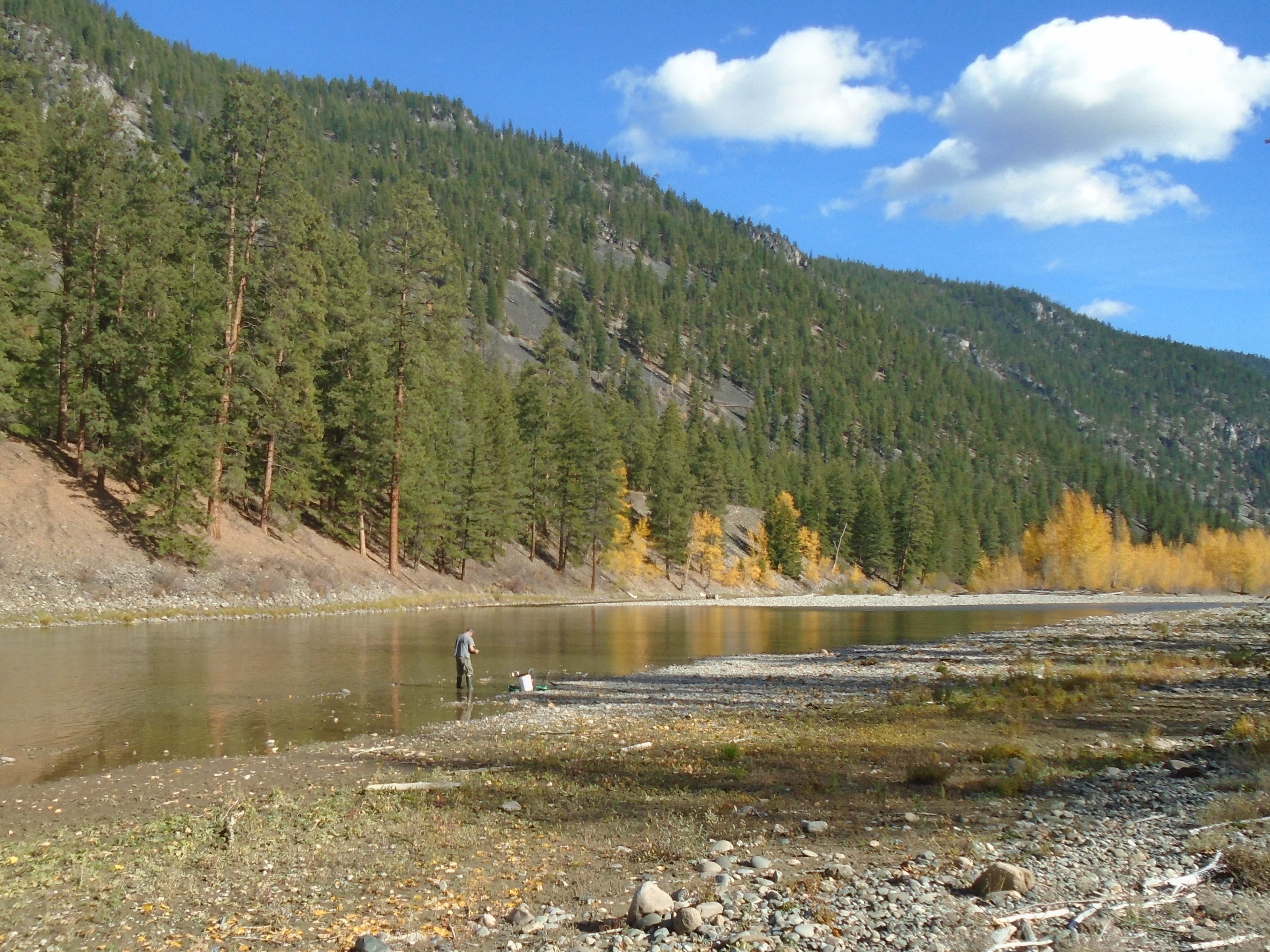
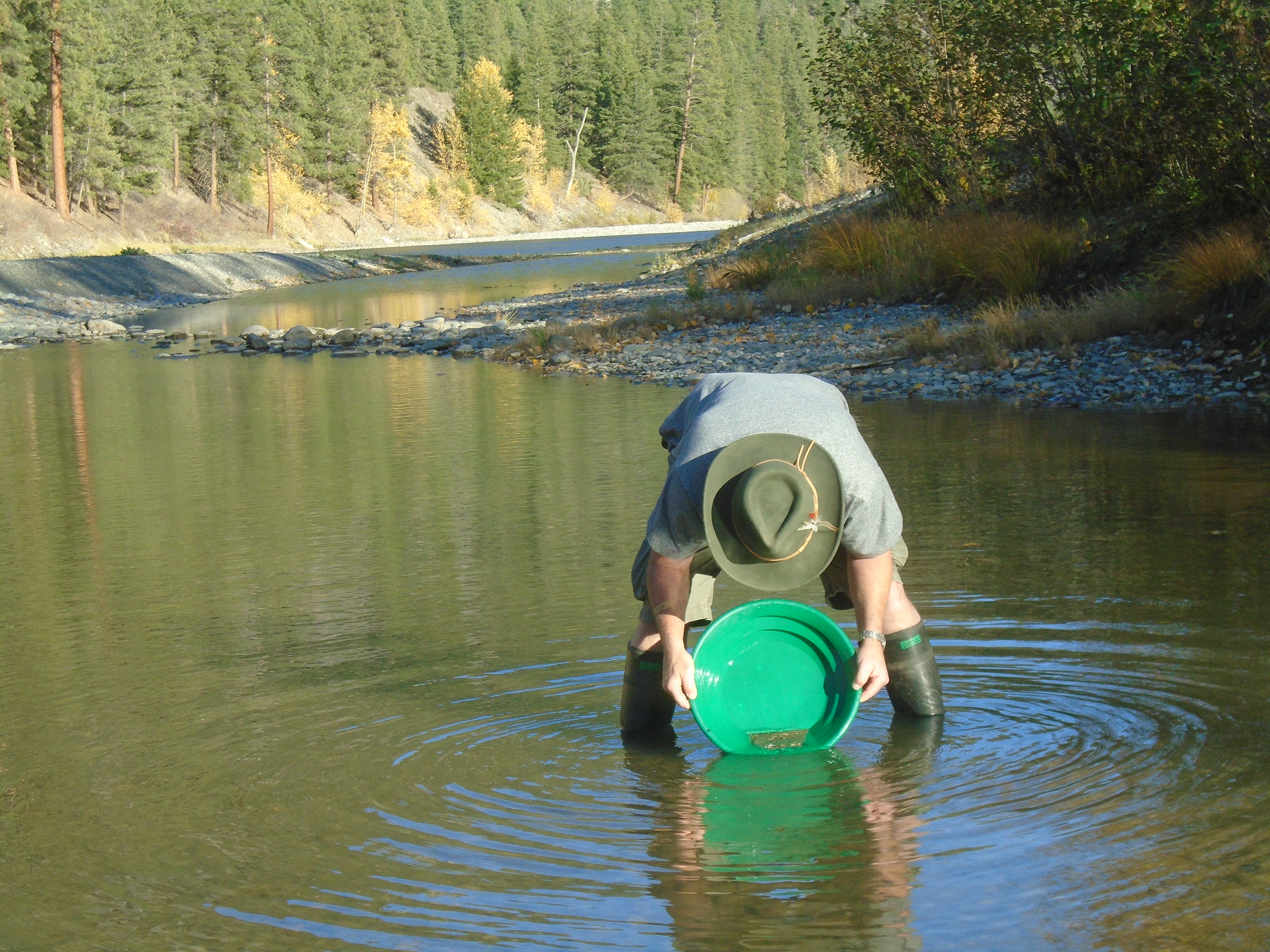
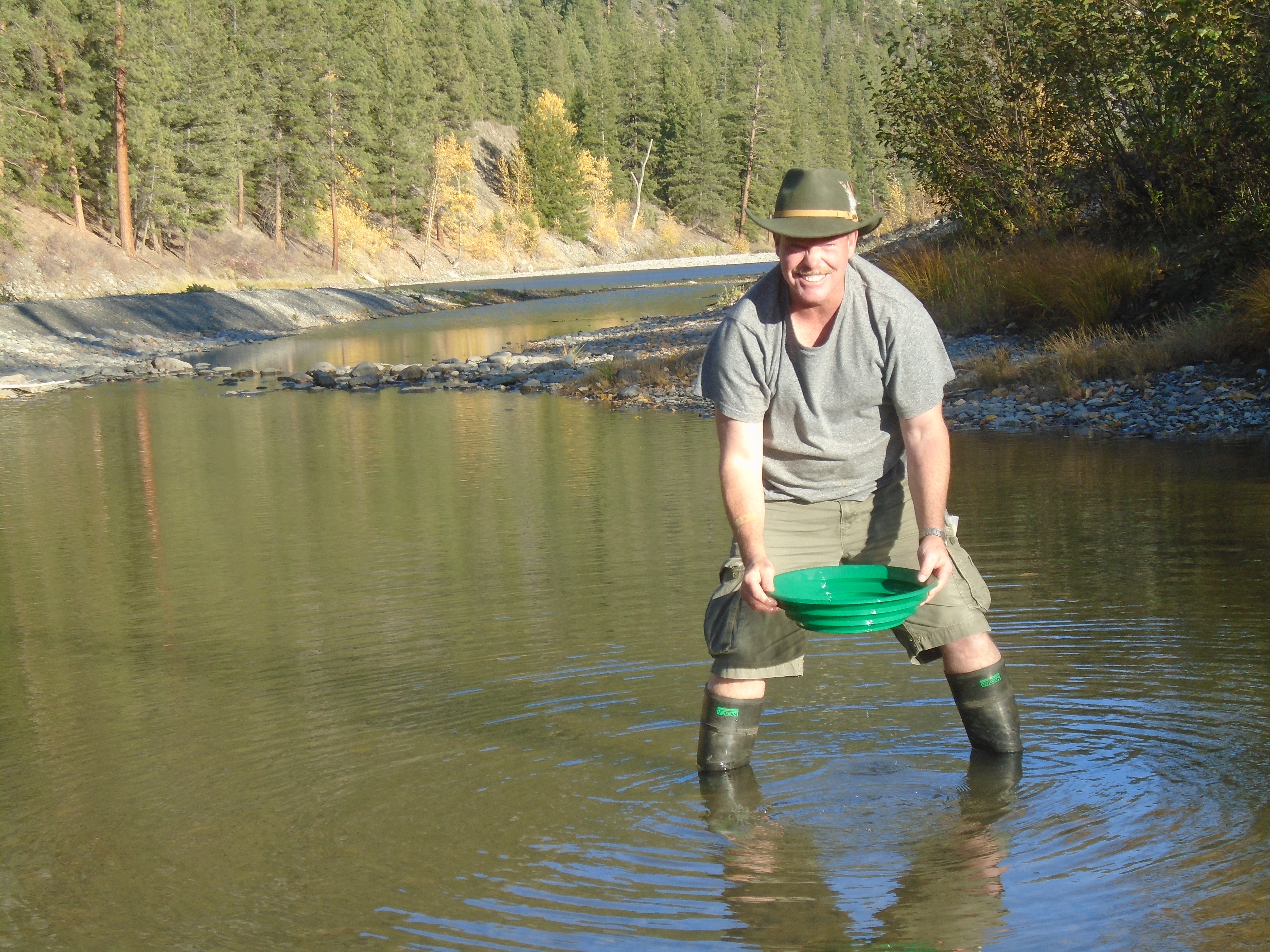
The mine site was a wide open valley with an alluvial fan that was about 3km wide. This is a good habitat for paleochannels and that’s what we were hunting for. West Coast Placer specializes in using a passive seismic system to map ancient river channels on the bedrock (more info on our system here: WCP seismic system). This survey lasted 30 days and covered a large area. The area had very little history of placer mining but there had been some gold found in the river in recent years. It’s cool to be able to explore brand new areas like this, in other districts we are often trying to find virgin ground but in Mongolia, there are entire mountain ranges that haven’t been explored.
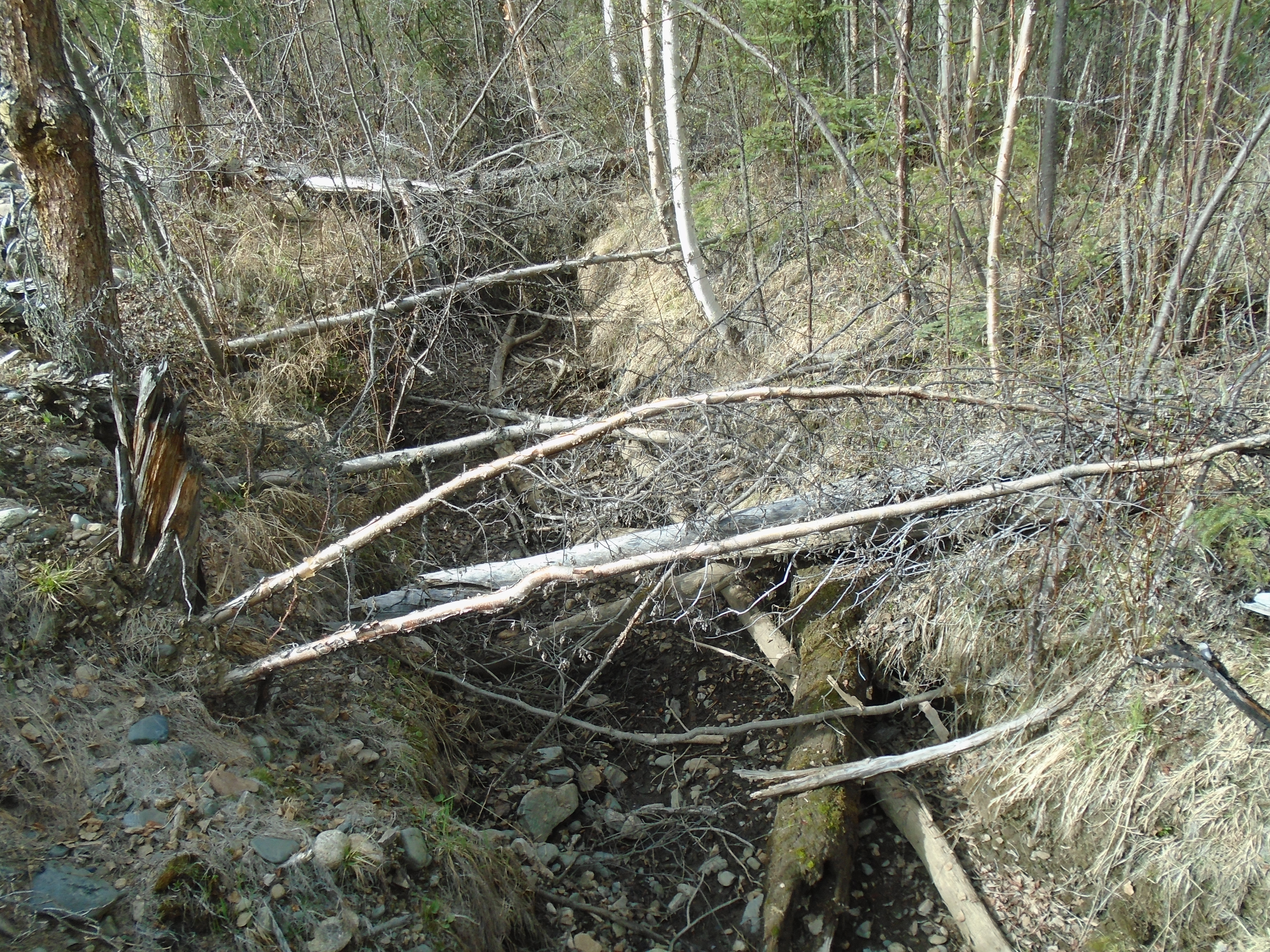
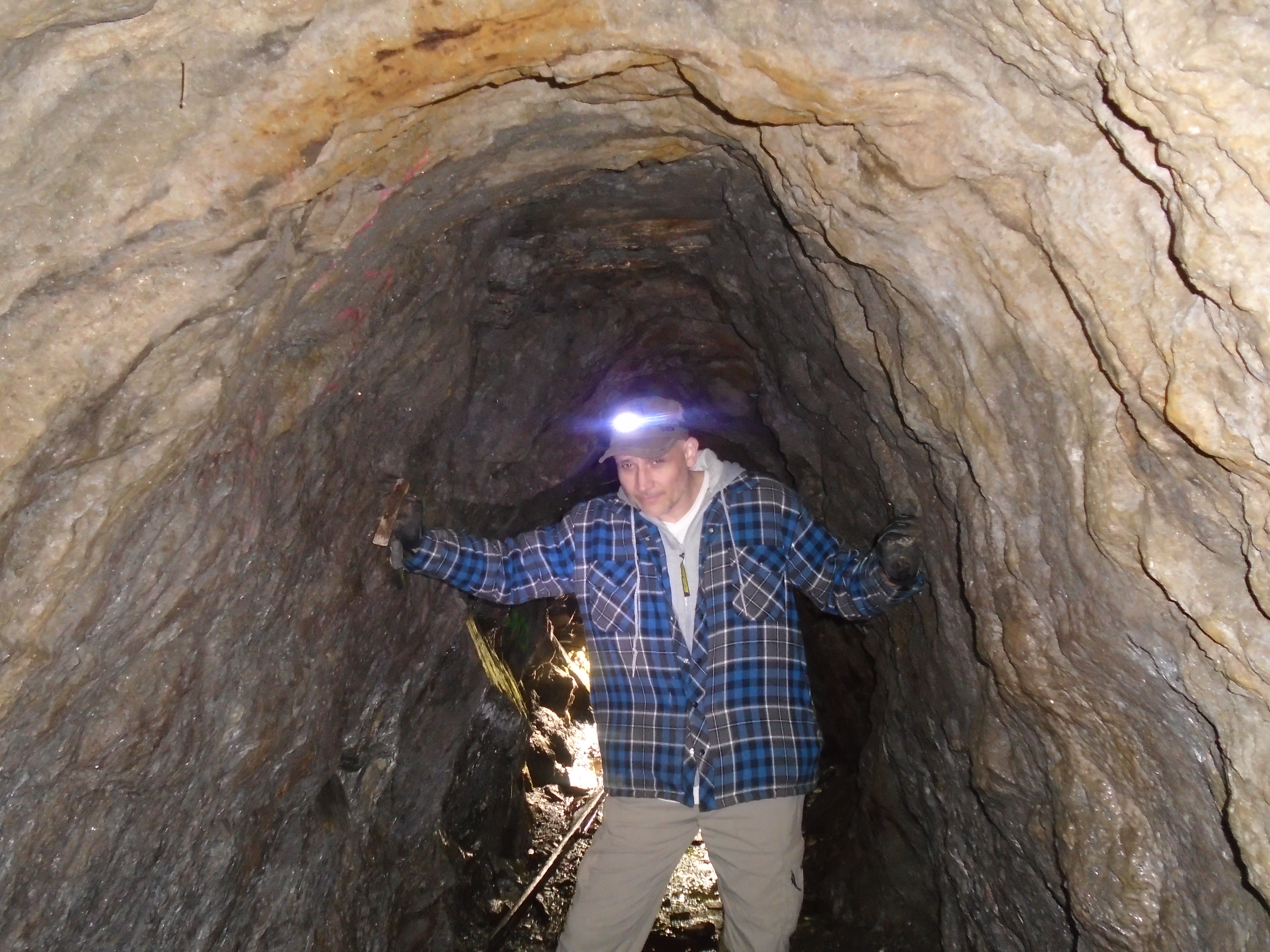
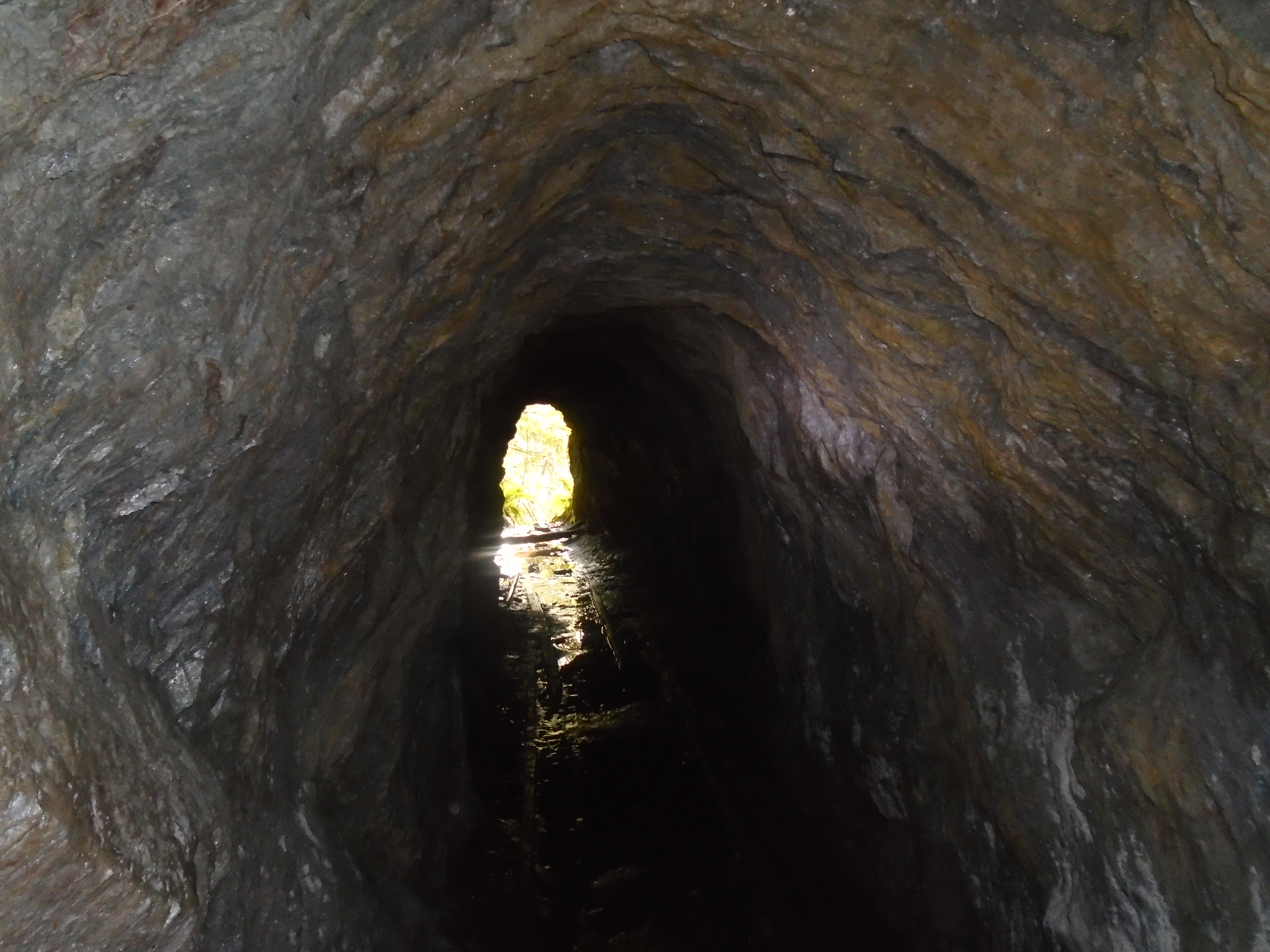
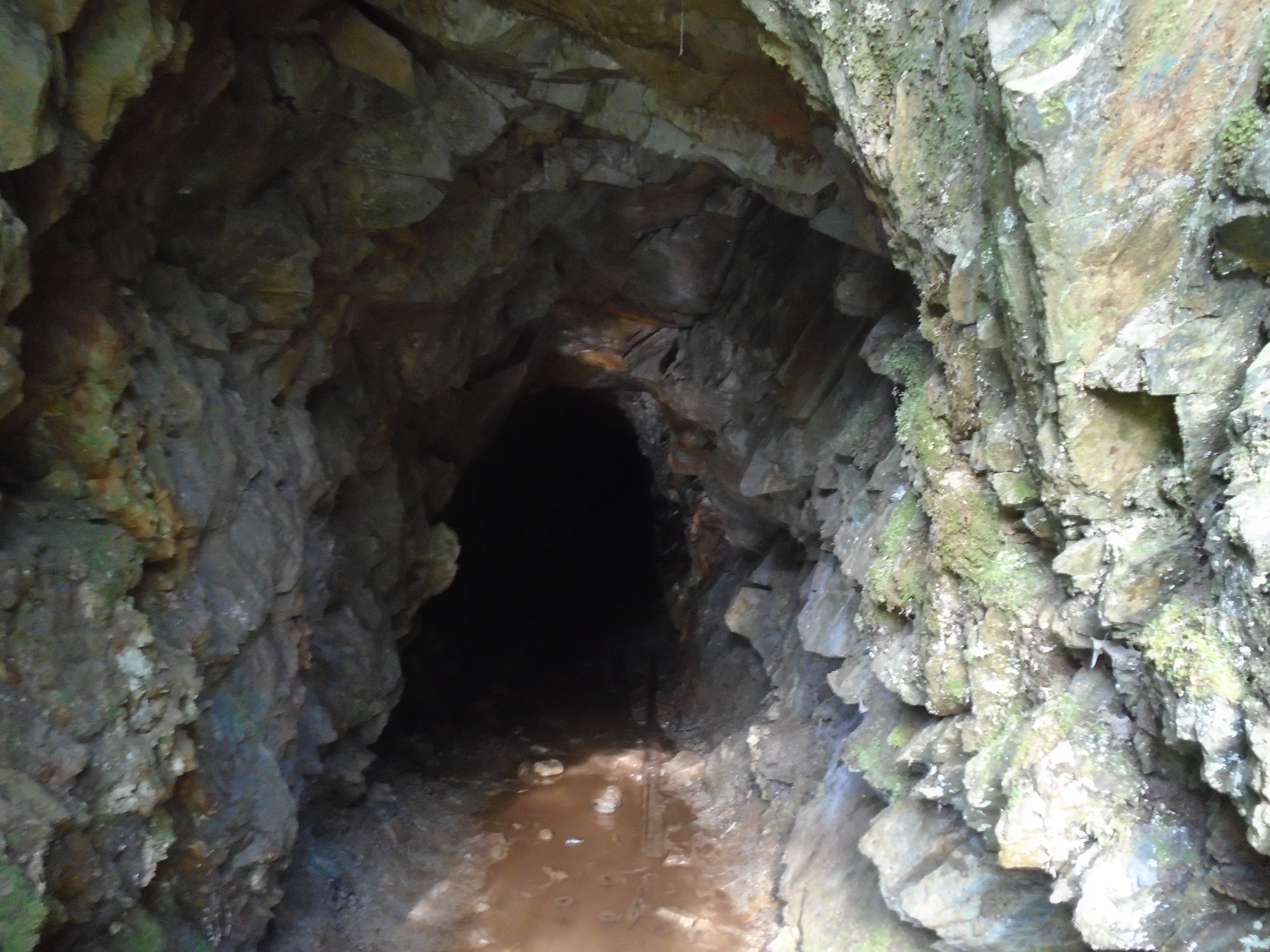
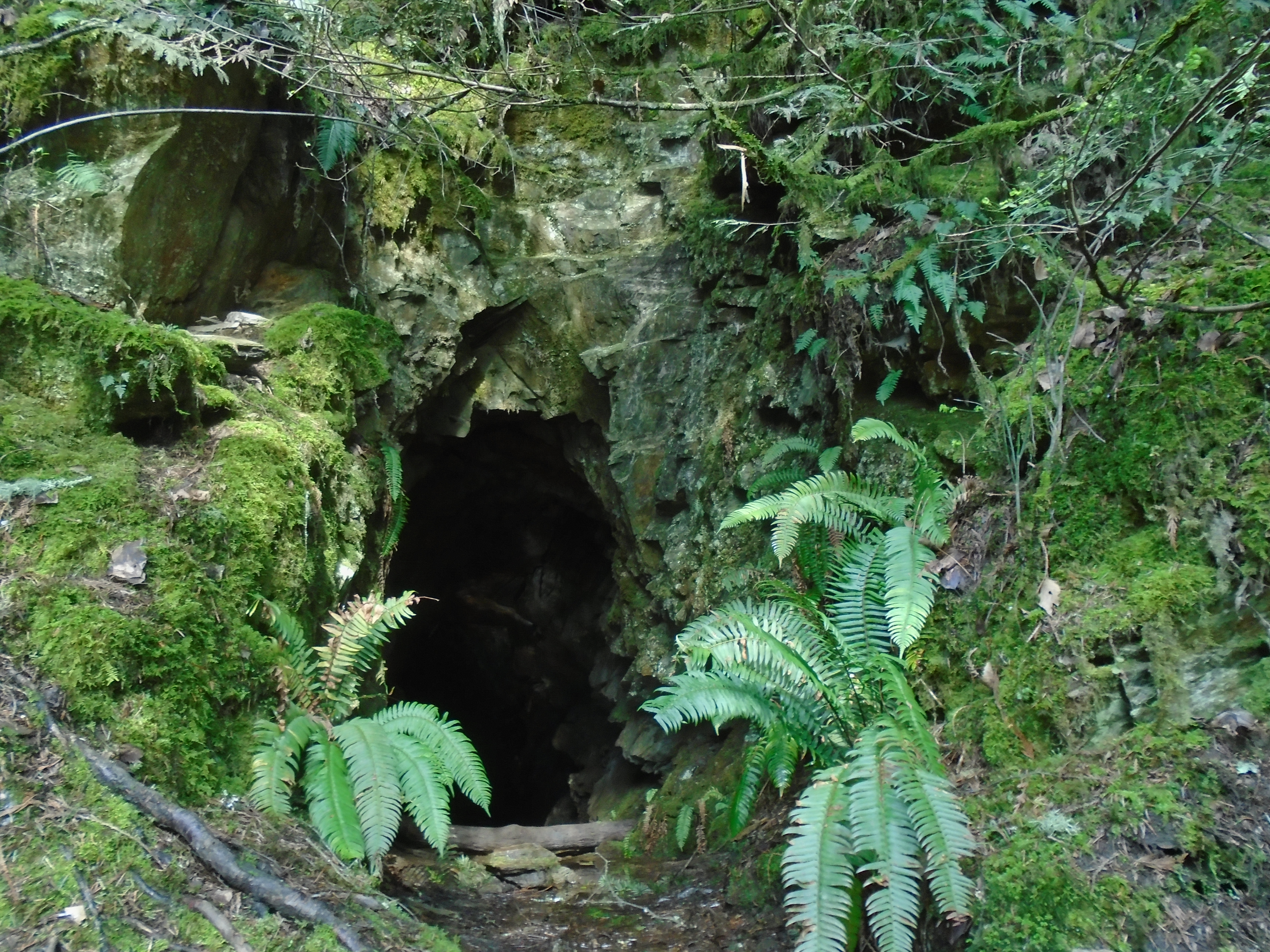
Since there is no vegetation, the rock formations in this area are easily visible. Signs of mineralized rock such as alteration zones, iron staining, and quartz veins are easily observable on the hillsides. In fact we located some high grade gold and copper hard rock showings while conducting the placer survey.


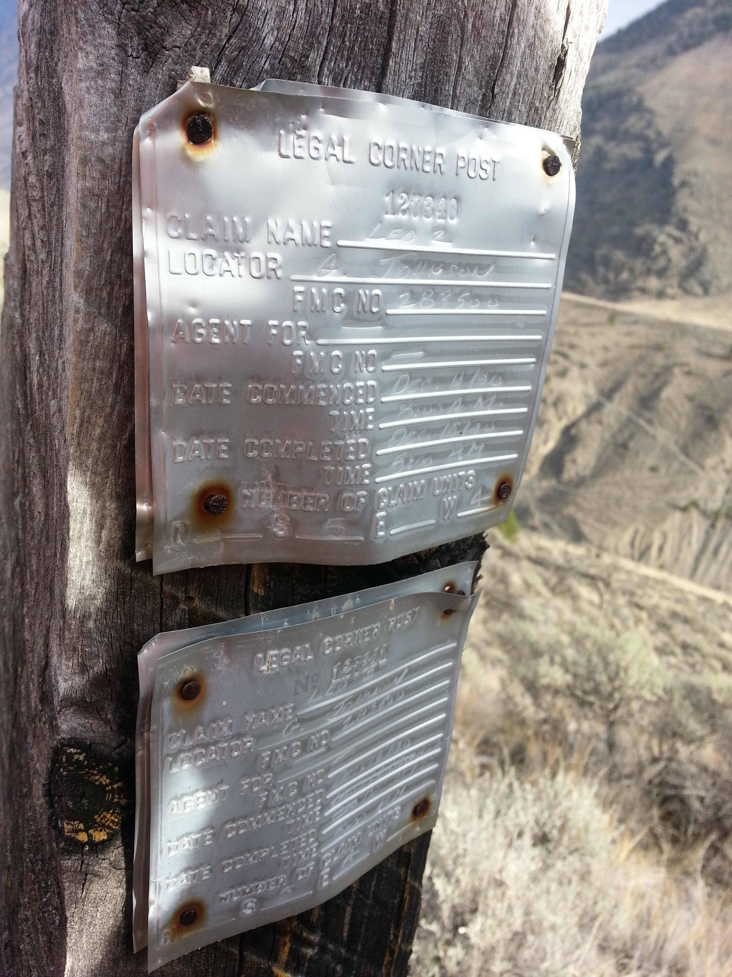
The claim staking system in Mongolia is very different and contributes to the size of the mines. You cannot stake a claim in Mongolia the way it is done in most parts of the world. Instead, the government holds an auction for claims that are available. Companies can bid on these claims, and once the payment is made, the claim is yours. You are allowed a maximum of 7 years for exploration and 7 years for mining. Because of this 7-year limit, miners need to hit it with everything they have, as there are no time extensions.
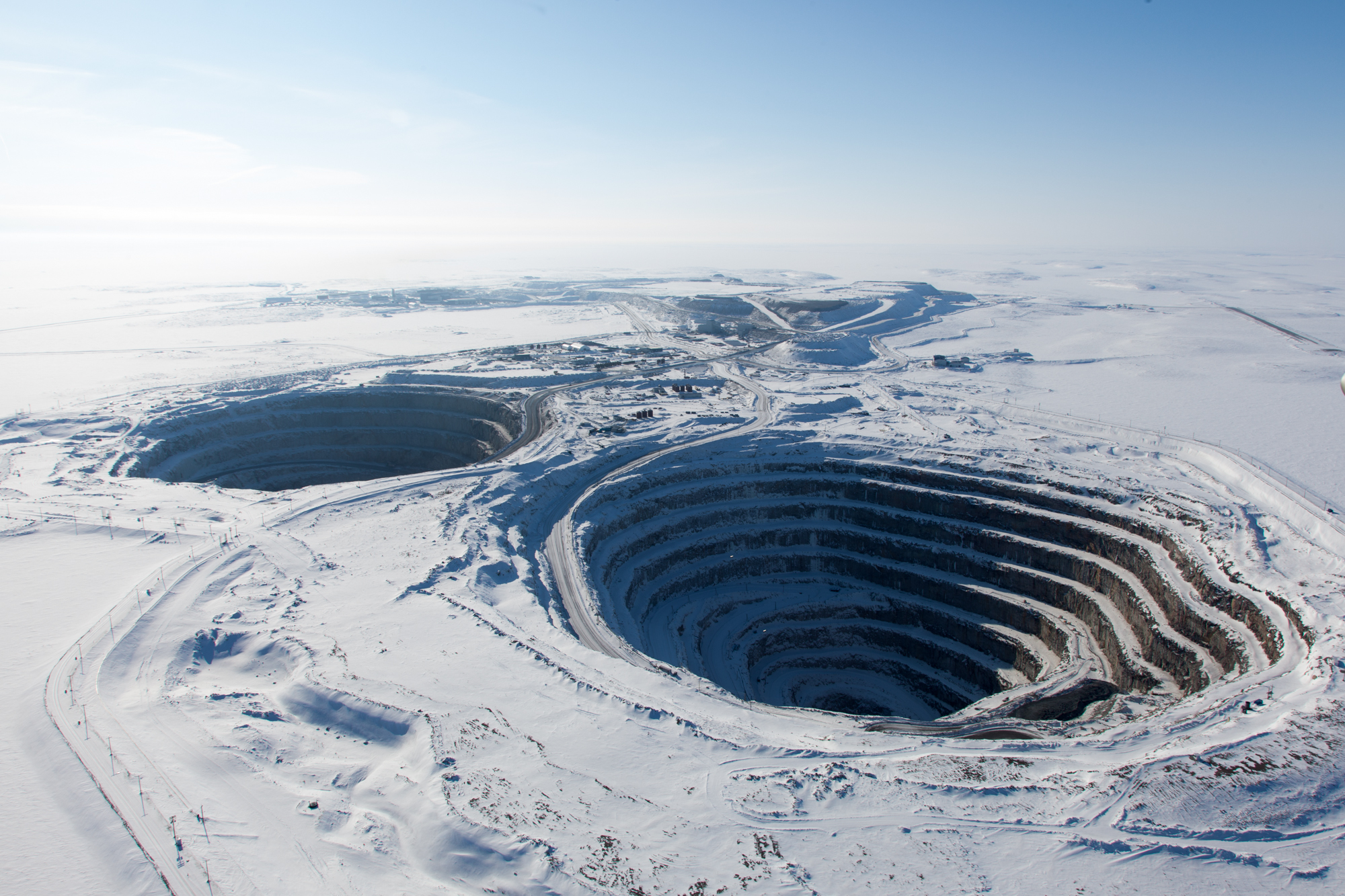
Mongolia hosts several large-scale mines, the largest being the Oyu Tolgoi, located in the Gobi Desert, containing 2.7 million tonnes of copper and 1.7 million ounces of gold. There are quite a few mines in Mongolia, it is a huge country after all. Most of their production comes from soviet-era coal mines but modern exploration has shown several large copper-gold porphyries and rare earth deposits scattered around the country. Mongolia is set to be a major producer of these minerals in the near future.
At present the main export from Mongolia is cashmere. Cashmere comes from the soft undercoat of goats raised by nomadic herders throughout the vast steppes of Mongolia. The goats are specifically bred for their ability to thrive in Mongolia’s harsh climate. Most of Mongolia’s cashmere comes from remote regions where herders live a traditional nomadic lifestyle, moving with their animals to find the best grazing lands. This way of life has remained largely unchanged for centuries. We met several of these shepherds while doing the seismic survey and they are indeed modern-day nomads. They have several different camps thought the region and move the herds with the seasons. Their lifestyle is completely different from life in North America.


The Altai placer project that we worked on went really well. The crew suffered with me for 30 days in harsh conditions of -20 degree weather with unrelenting winds, often exceeding 100 km/h. Our local helpers were unphased by this weather as they have lived their entire lives in this environment. Canada gets pretty cold too but the wind was the real killer in Mongolia. Our survey located 3 paleochannels which have great potential for large scale placer gold production. The company had drills mobilized to the site just as we were leaving. Our seismic system worked really well to map these ancient river channels in a economical way.

It was a great experience to visit the land of Genghis Khan and witness the deep reverence they have for him. In Mongolia, he is more than just a historical figure—he is a national hero, a symbol of unity, and a source of immense pride. They actually call him Chinggis Khan, which is closer to the original pronunciation, and his legacy is everywhere you look. Streets, squares, airports, statues, and even their most popular beer are named after him. The Chinggis Khan International Airport greets visitors with his name, and an enormous statue of him on horseback towers over the countryside. Every Mongolian knows the story of Chinggis and admires the glory days when the Mongolian empire spanned all of Asia. In 2024 Mongolians are no longer the most feared warriors on the planet but the country is a great place to visit and the future is bright for Mongolia. Mongolia’s rich history and vast untapped resources make it a land of both inspiration and opportunity. Our experience in this remarkable country was unforgettable, and we’re excited to see how its mining industry evolves in the coming decades.