
Last week my neighbour phoned me and asked if I wanted to go on a road trip to check out an adit by Harrison Lake. Of course I said yes. Who wouldn’t be down for a short road trip to check out an old mine adit.
The trip only took two hours from my home in Abbotsford, BC. We drove up to Harrison Hot Springs then transitioned to the 4×4 road called Harrison East FSR. Conditions were great for the trip out we got hit by rain on the way back but that’s to be expected on the West coast in March.
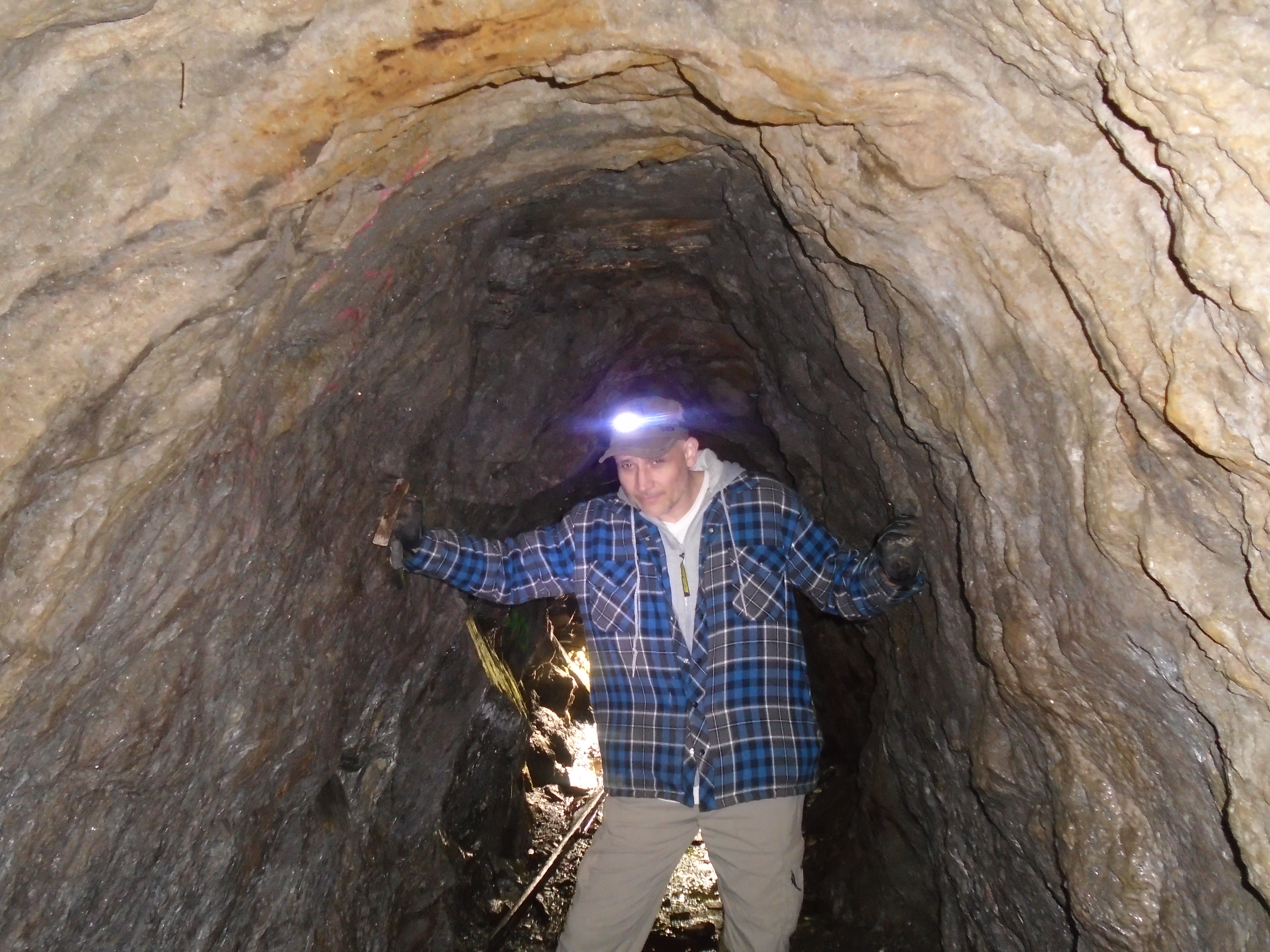
I brought along my mountain bike night riding light and it worked awesome! You can see the difference between my super light and a standard headlamp in the video. Check out the video below showing our exploration in the adit:
This adit was created a long time ago, probably a during the period of the Fraser River and Cariboo gold rushes (1860s – 1880s). No records have been found from that time period describing the adit though. During the gold rushes the Harrison was one of the major routes to the Cariboo and many miners worked in the region.
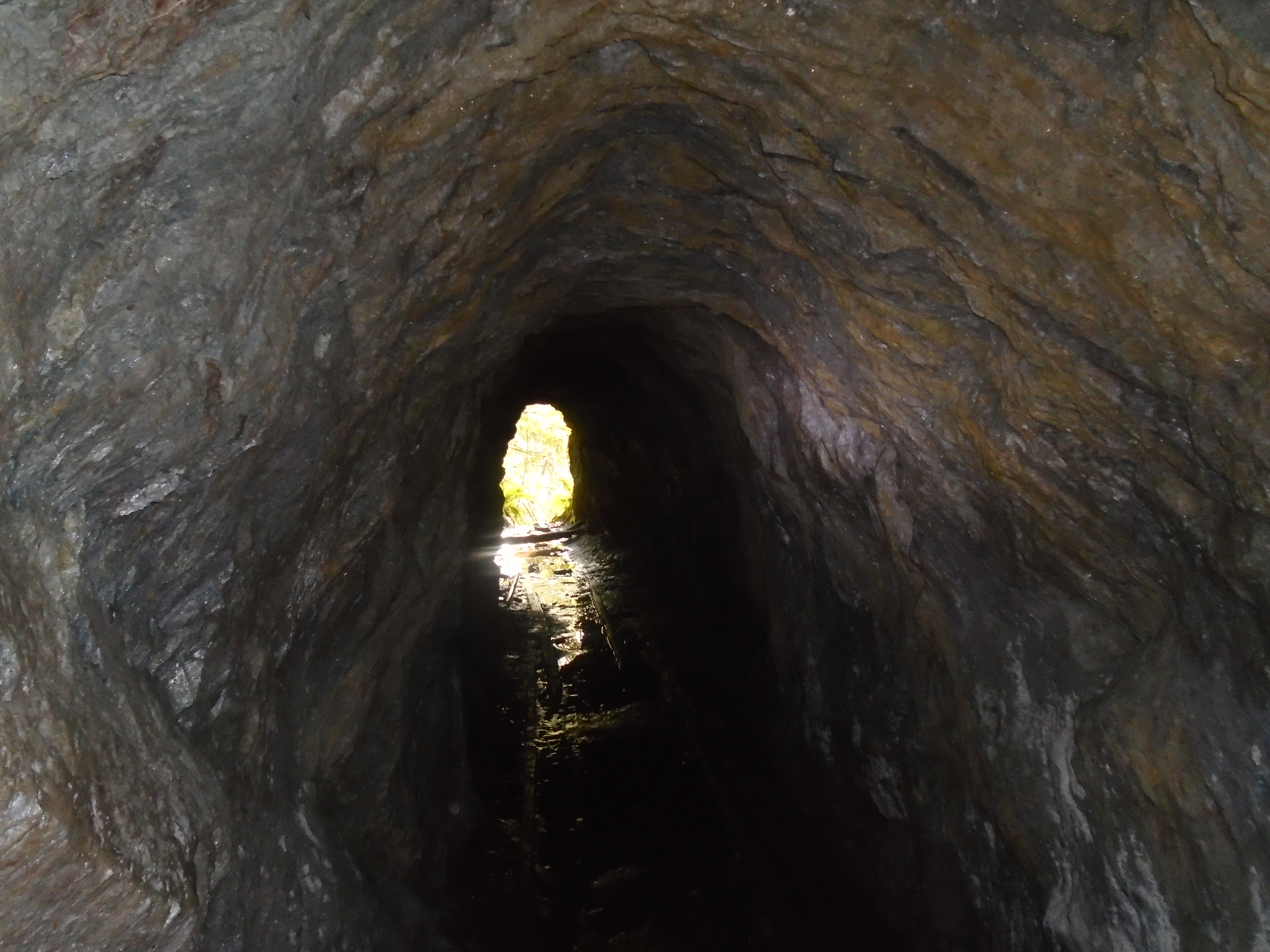
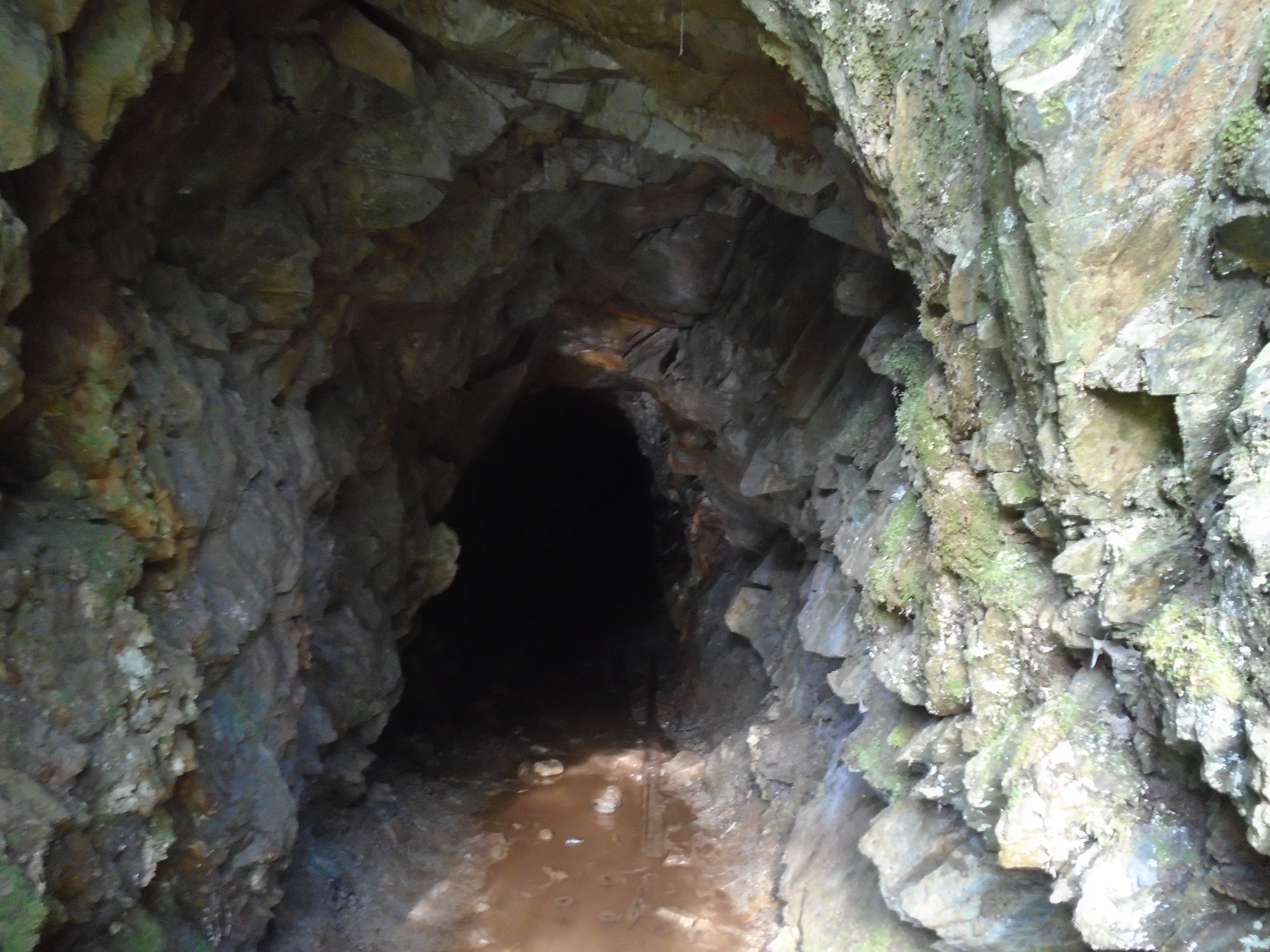
The adit extends for approximately 50m with a slight bend half way in. It cuts through altered schist formations and has several small quarz veins exposed inside. We sampled one of the veins which will be sent to a lab for fire assay. The map below is taken from a 1983 geological report of the area.
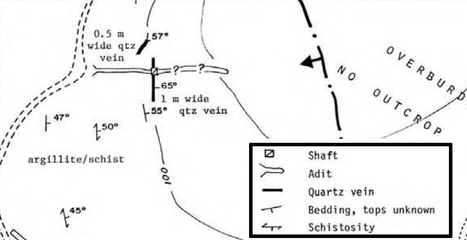
In addition to the 50m adit a vertical shaft had also been excavated. Unfortunately the shaft is filled with water so it cannot be explored at this time. Both excavations were carried out to explore a sizable quartz vein. The shaft is right on the 1m wide vein and driven vertically into the bedrock. The adit that we explored was intended to intersect the shaft and the vein. It seems that the miners missed. It is difficult to tell by how much.
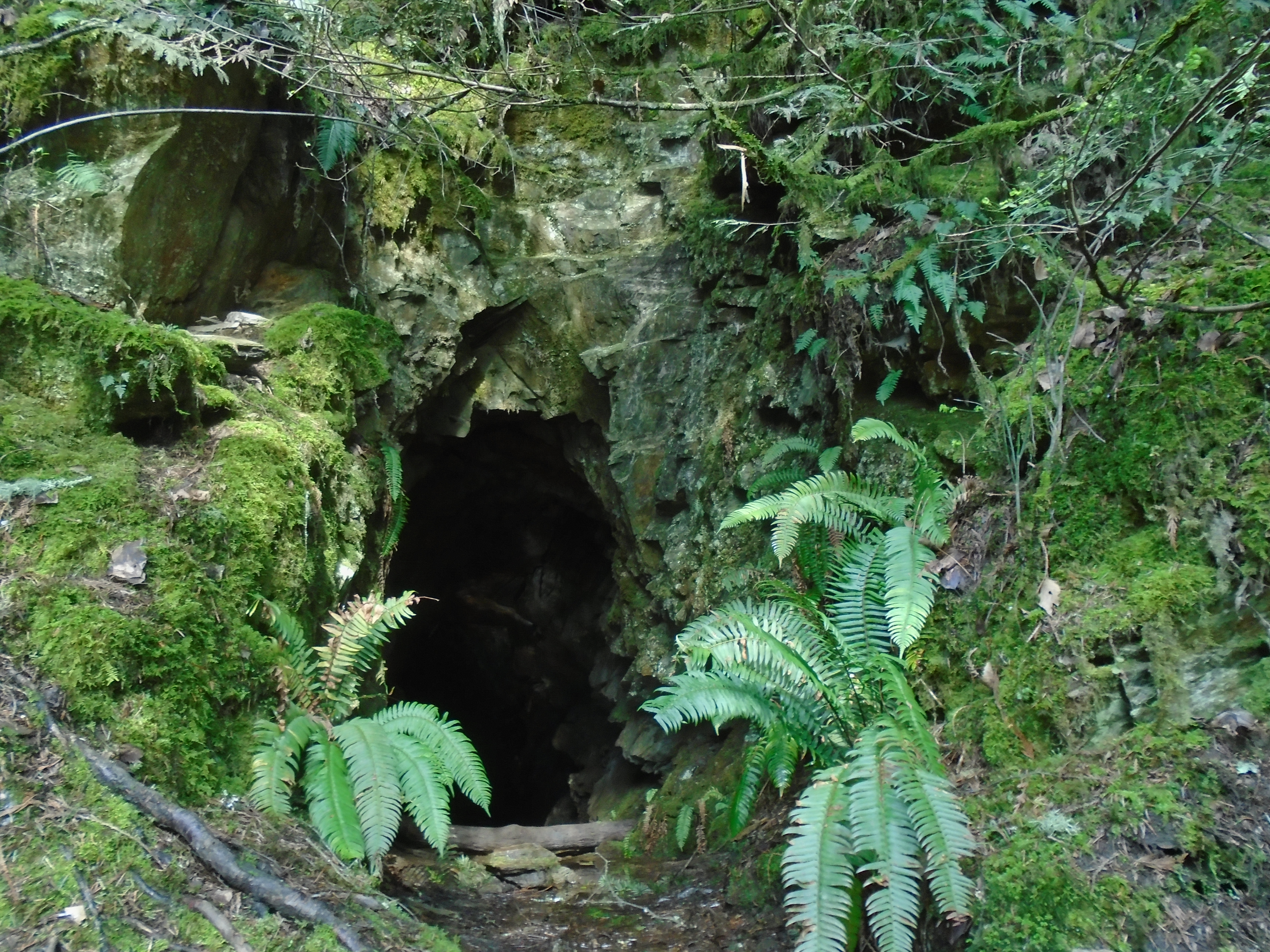
Inside the adit there are wooden tracks that line the whole tunnel. These were probably part of an old rail system used to remove the excavated rock. It is not known why the miners abandoned the property, without any information we can only guess. There are other adits in the area that we’ll explore another time. Not bad for a Tuesday afternoon.
Im planning on looking for this shaft this weekend, any tips on its location? I have a very vague idea but am not sure. A kilometer marker would be great!
I was thinking of taking my boys out and would love to show them an old mine any directions you can give us would be great.
Thanks
Wondering if you have details of what trail or how to get to this mine around Harrison lake area
Hey guys. I’ve had quite a few people asking for the location of this adit. Here’s the GPS coordinates for the adit entrance: 49.579294°N, -121.822462°W. Have fun and be safe in there.
Today I found an adit along harrison river, was flooded but appears to go in 30′ then turns left. Easy access by boat, found it by mistake after bush wacking for 2 hours. Dies Nyone know anything about it?
I’m interested in locating this shaft what rout did you follow roughly on the hike? Any land marks?
My great great grandfather discovered the Providence Mine in 1896. Hundreds of tons of silver/gold ore was taken out to the smelter in Everett and stockpiled nearby. It was averaging $34 ton. I’ve never been there but I would like to someday, thanks for the co-ordinates.