Is the world running out of gold? That seems to be a common theme in investment circles in recent years. This eye catching article on Visual Capitalist estimates that we’ll be out of gold by 2030. This article based on a report from Goldman Sachs claims we’d hit “peak gold” in 2015, GoldCore.
 Peak gold is the same idea as peak oil. Where the peak is the moment when maximum world production is reached and declines from then on, eventually reaching zero production. Unlike oil though gold is not used up in consumption. It is typically stashed away in a vault or worn as jewellery.
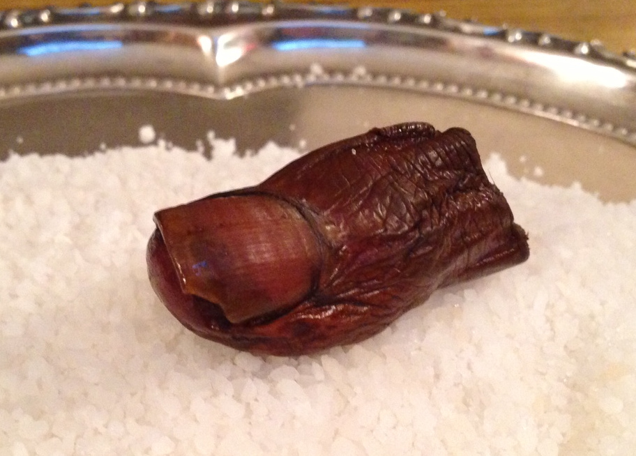
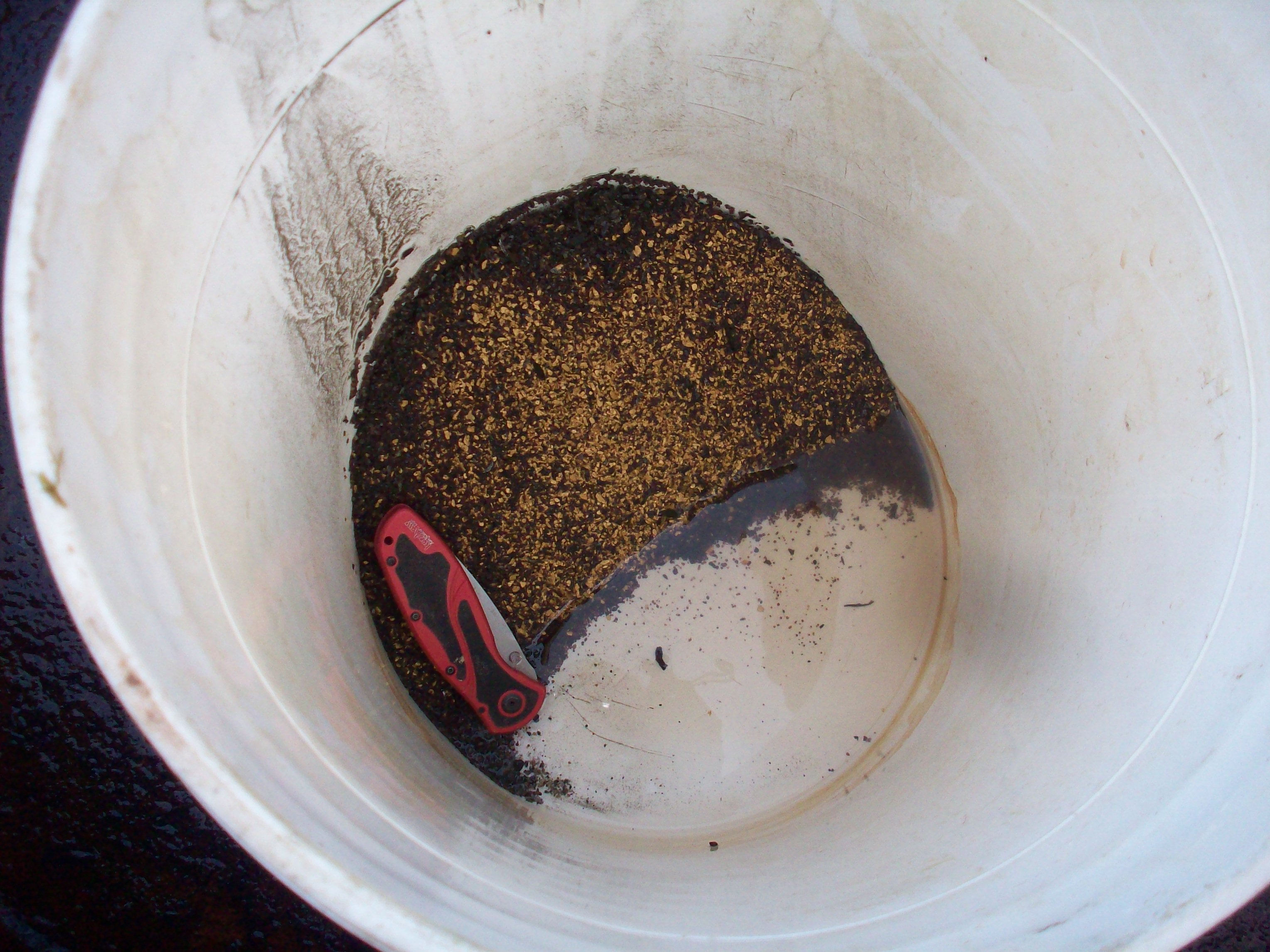
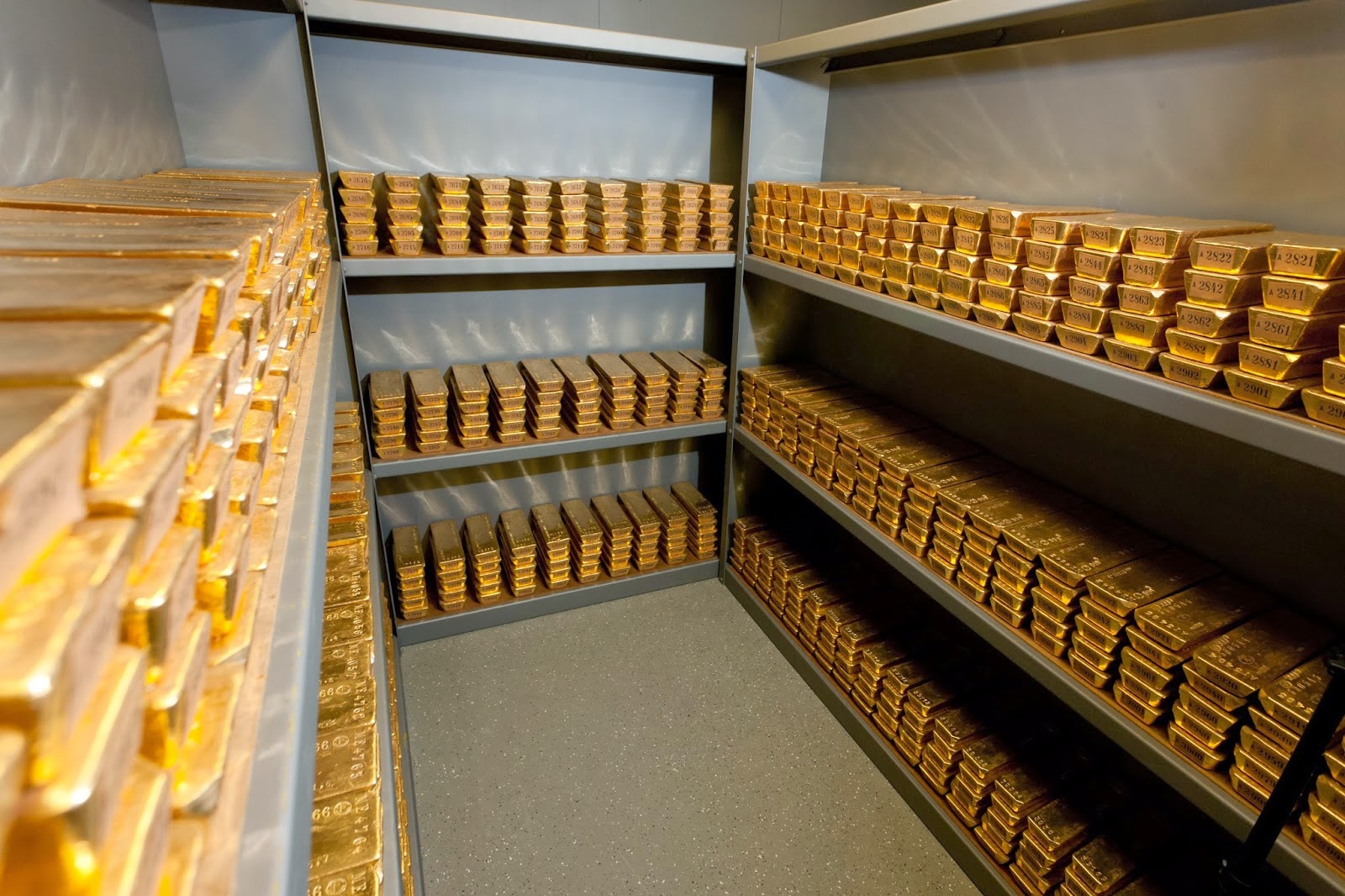
Estimates for all the gold in the world mined to date hover around 165,000 metric tons. Some estimates go as high as 1 million tons but most experts would agree that under 200,000 is accurate. World gold supplies are difficult to quantify. That is because gold reserves are not always reported accurately. Over 50% of gold above ground is used for jewellery which makes it difficult to track. Gold rings, necklaces and such can change hands without any records. About 35% is stored as bullion for investments and reserves. Large holders of gold give misleading numbers regarding their reserves, presumably for security reasons but who knows?
The United States, Germany, Italy and France are the worlds largest holders of gold respectively. Each has their share of controversy surrounding their claimed gold deposits. There are conspiracy theories about the amount of gold stored in Fort Knox. Some believe it is empty and the government is just pretending its full of gold. Without seeing it for ourselves we’ll just have to accept the disclosed numbers.
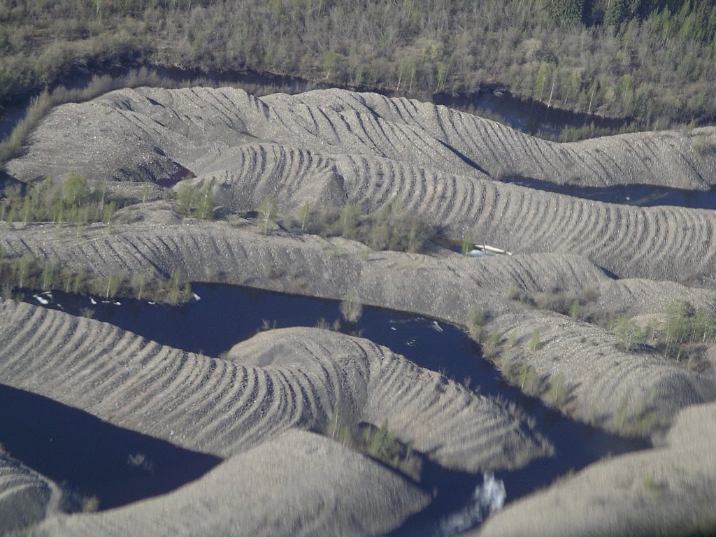
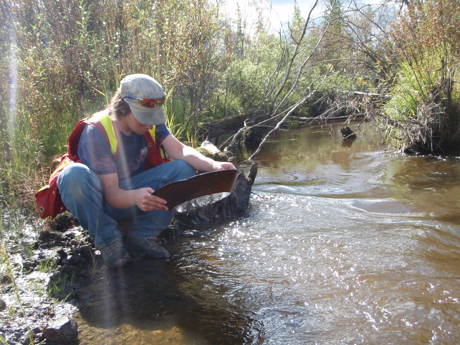
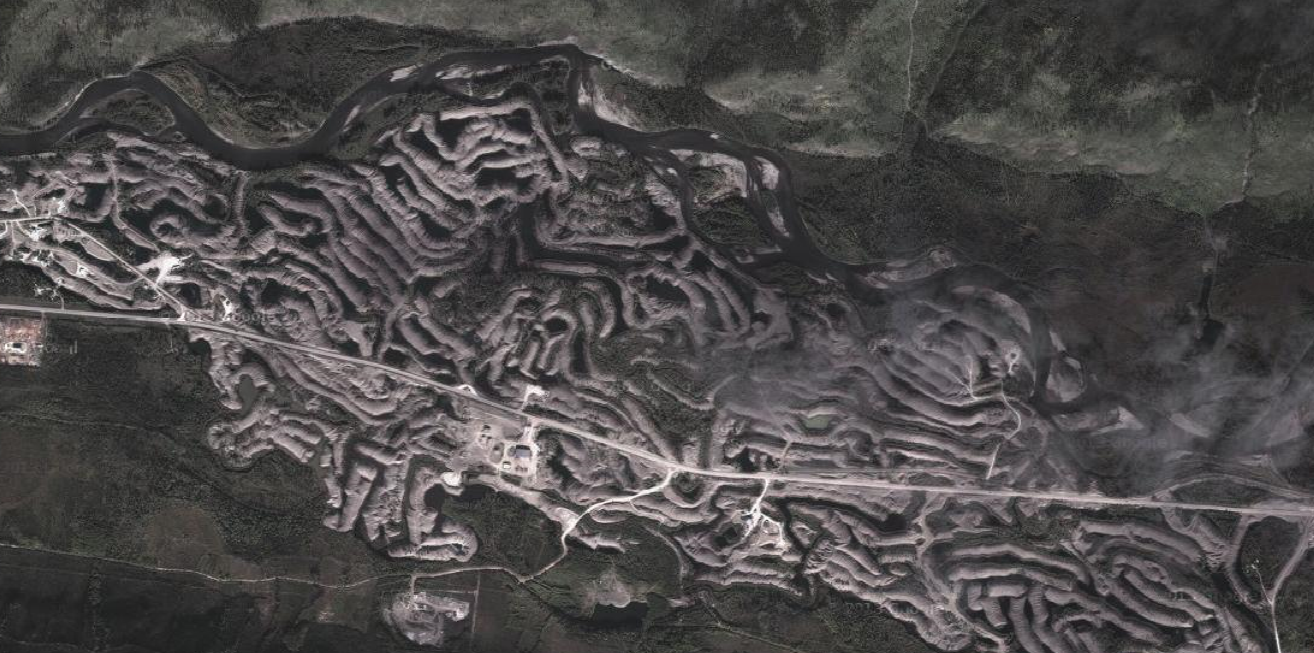
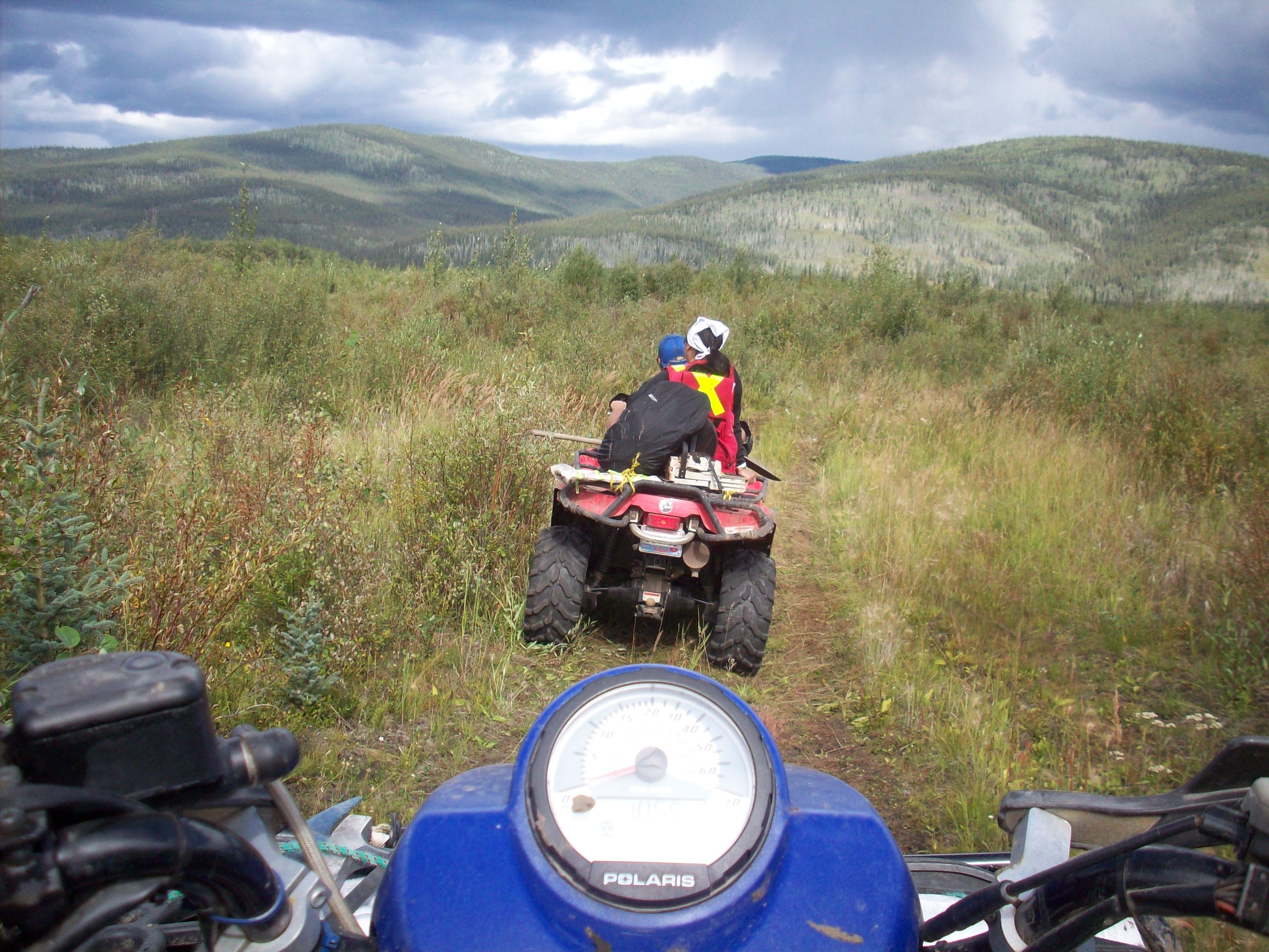
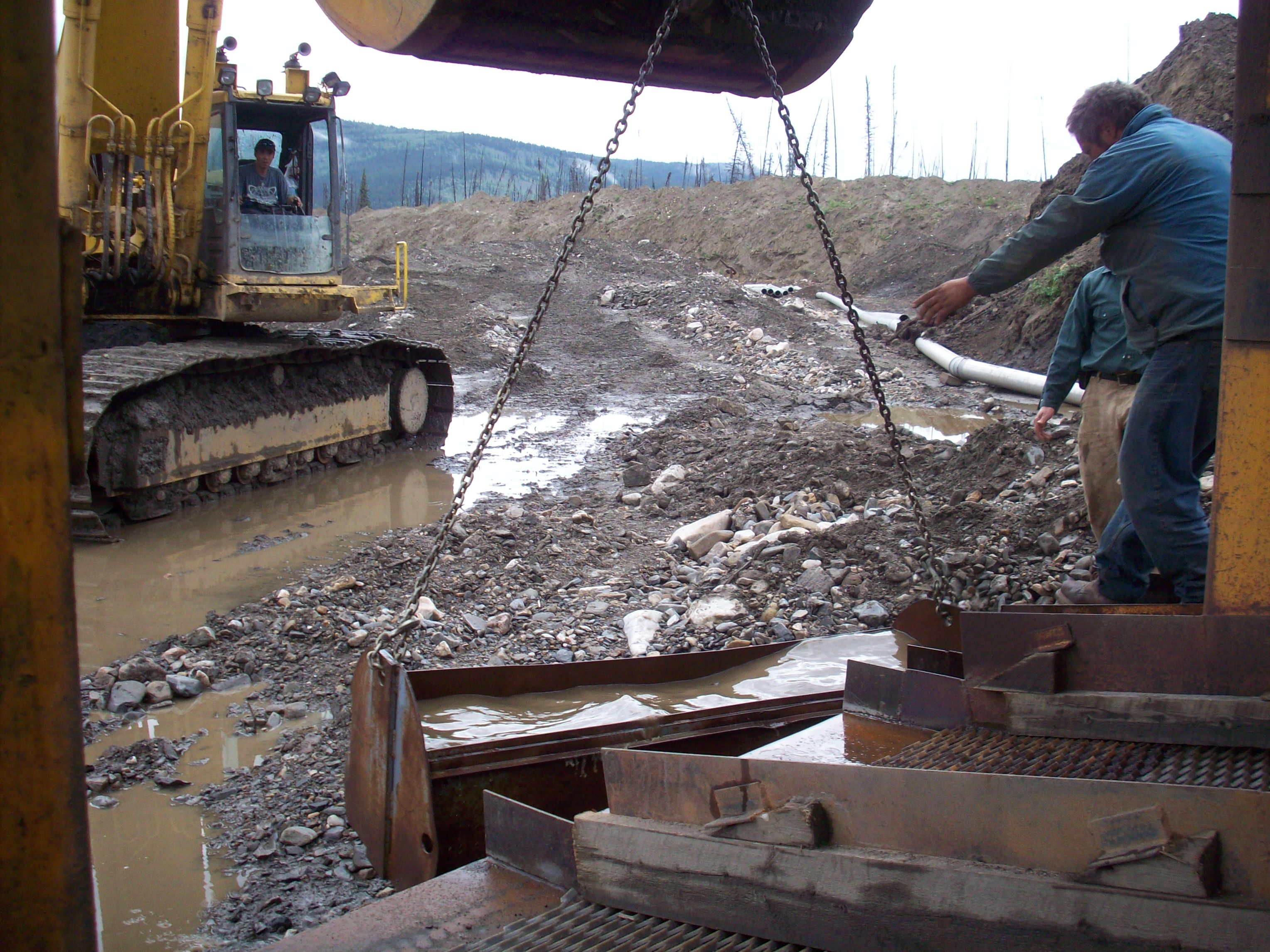
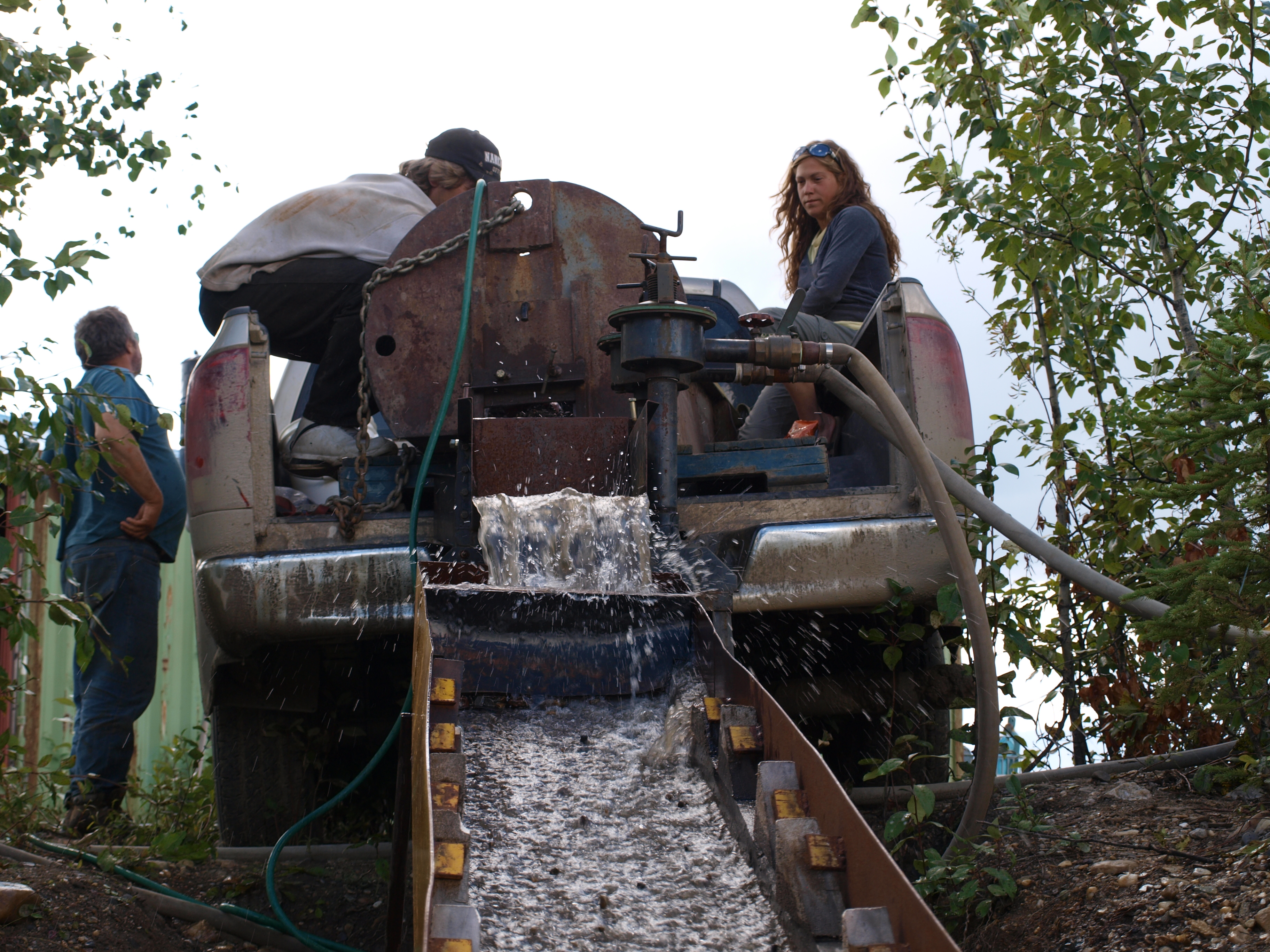
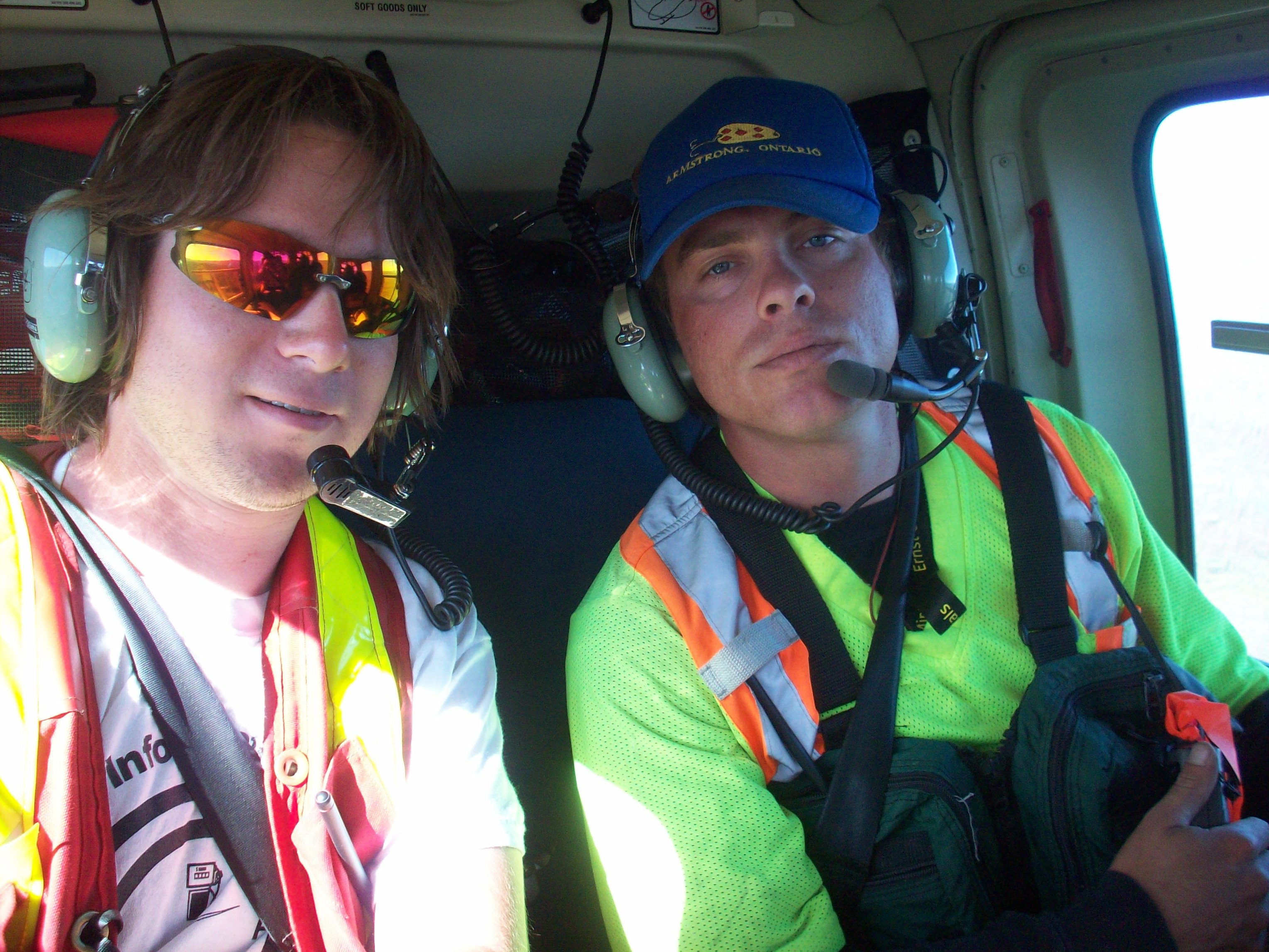
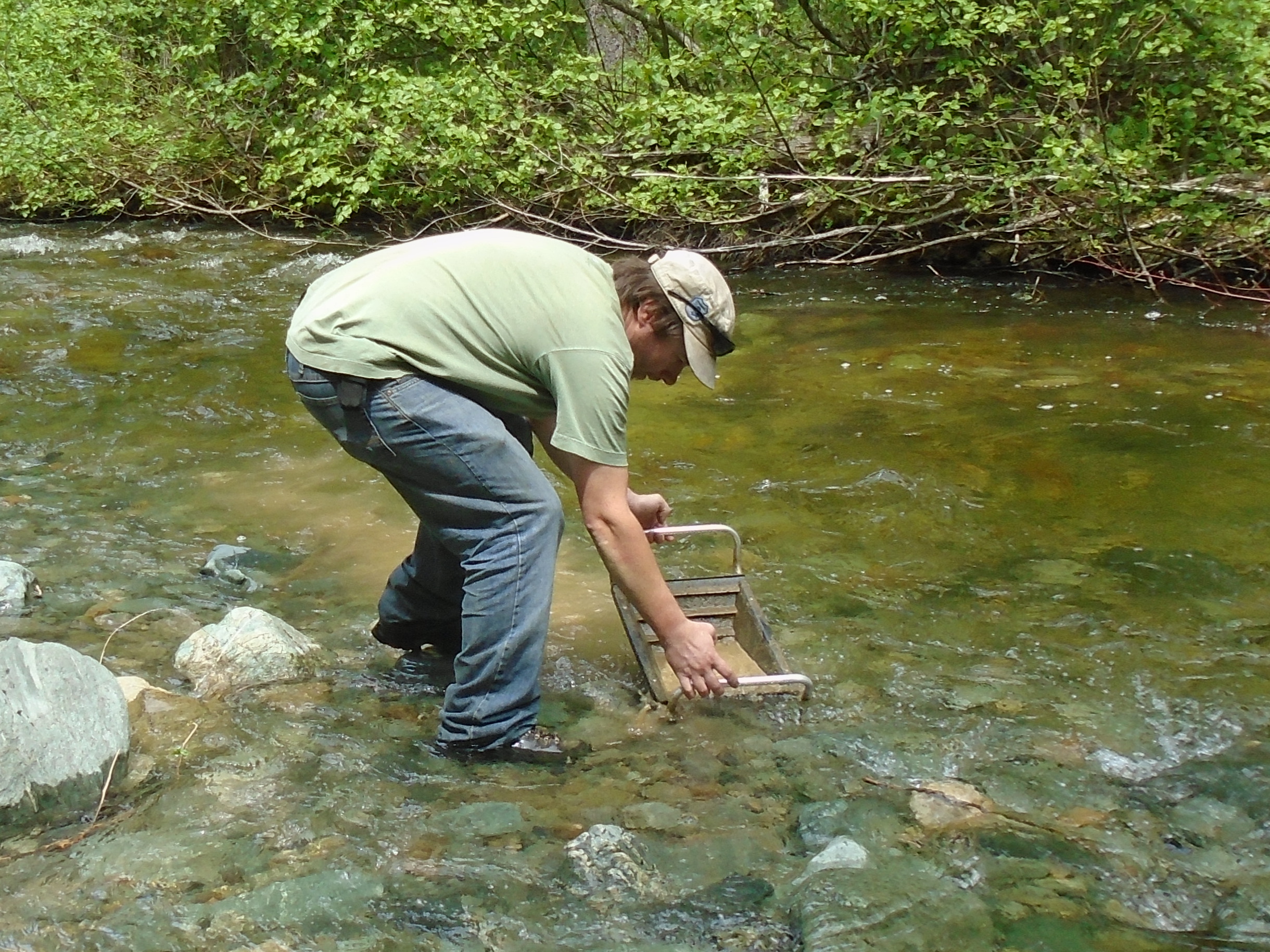
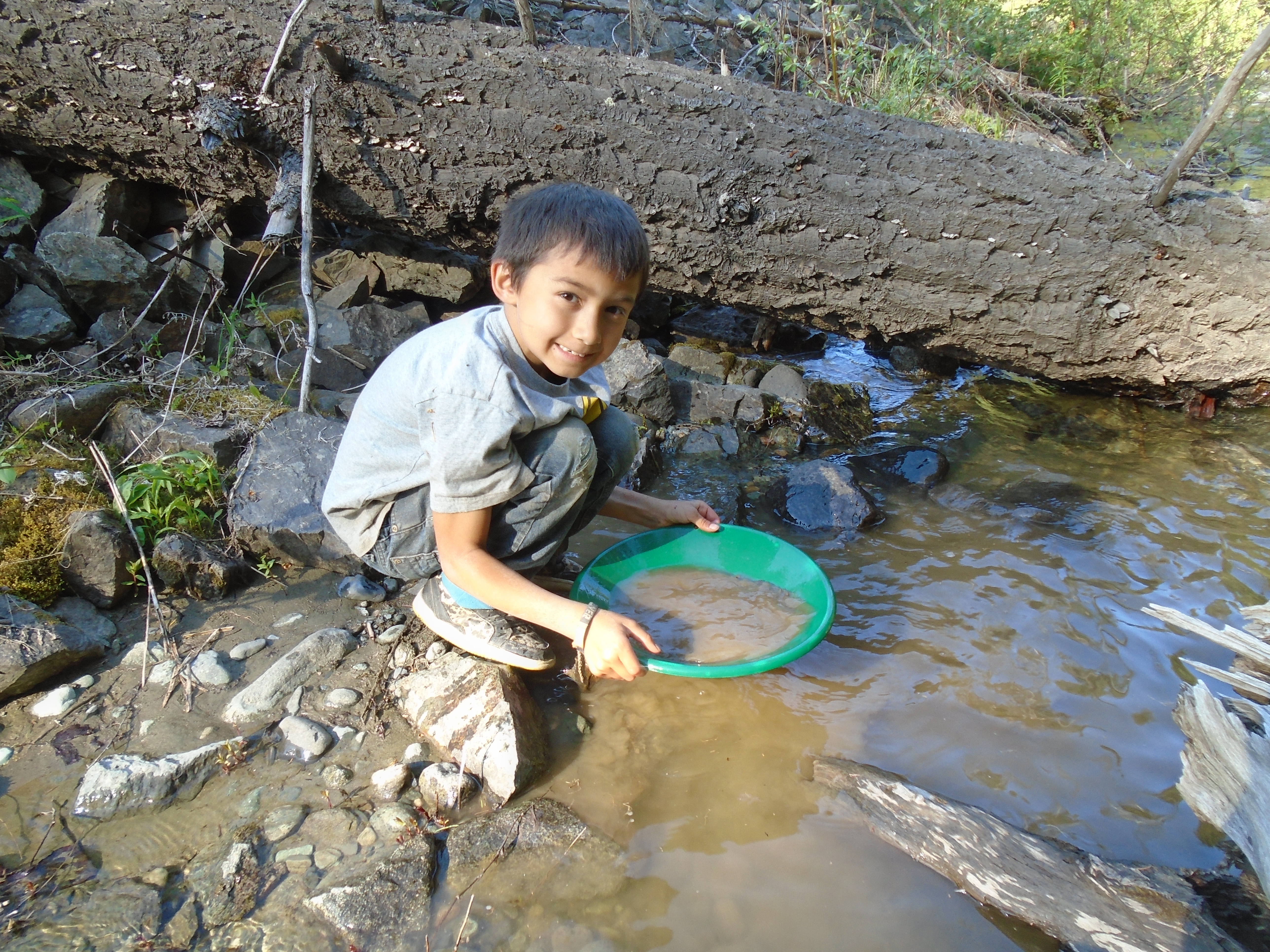
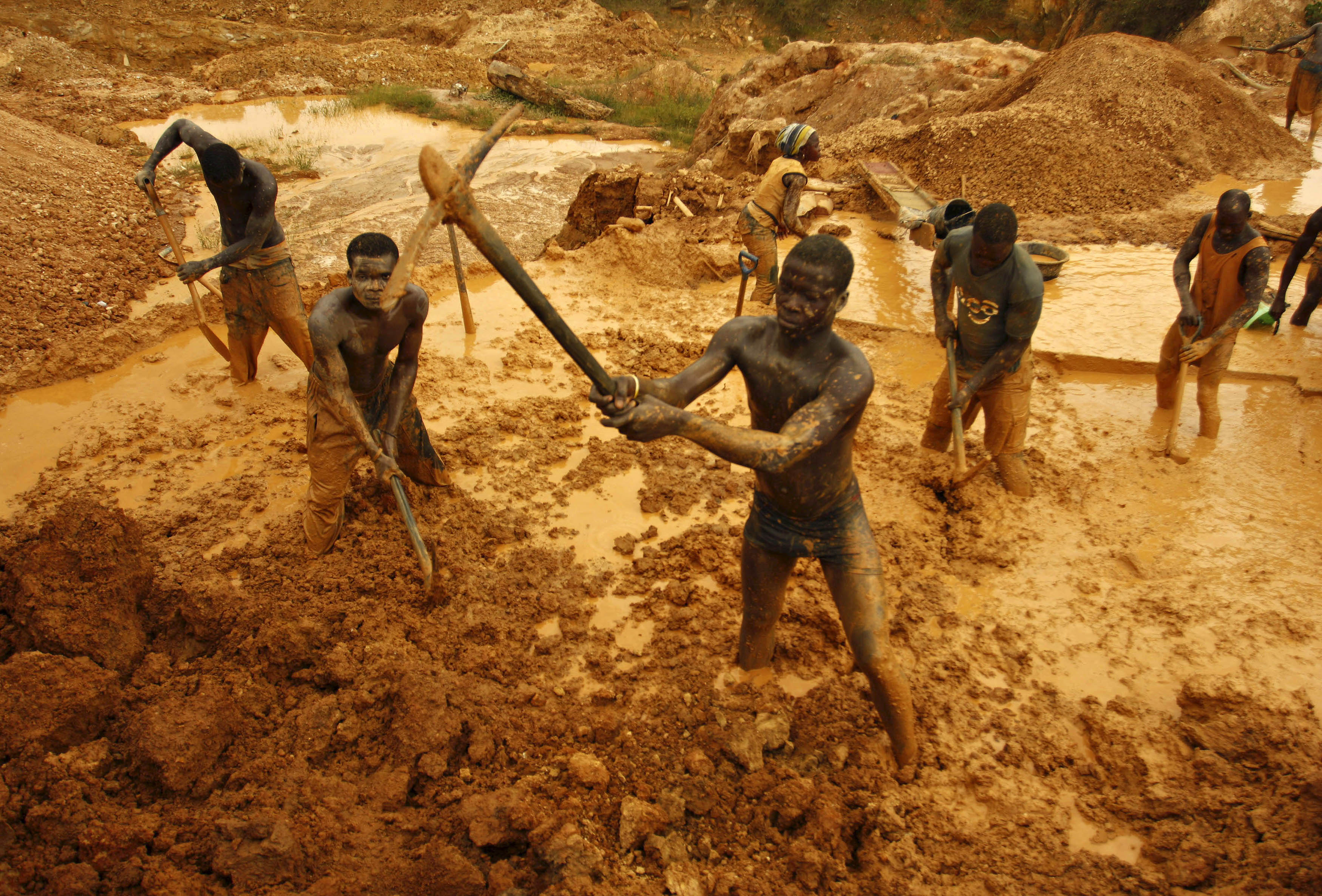
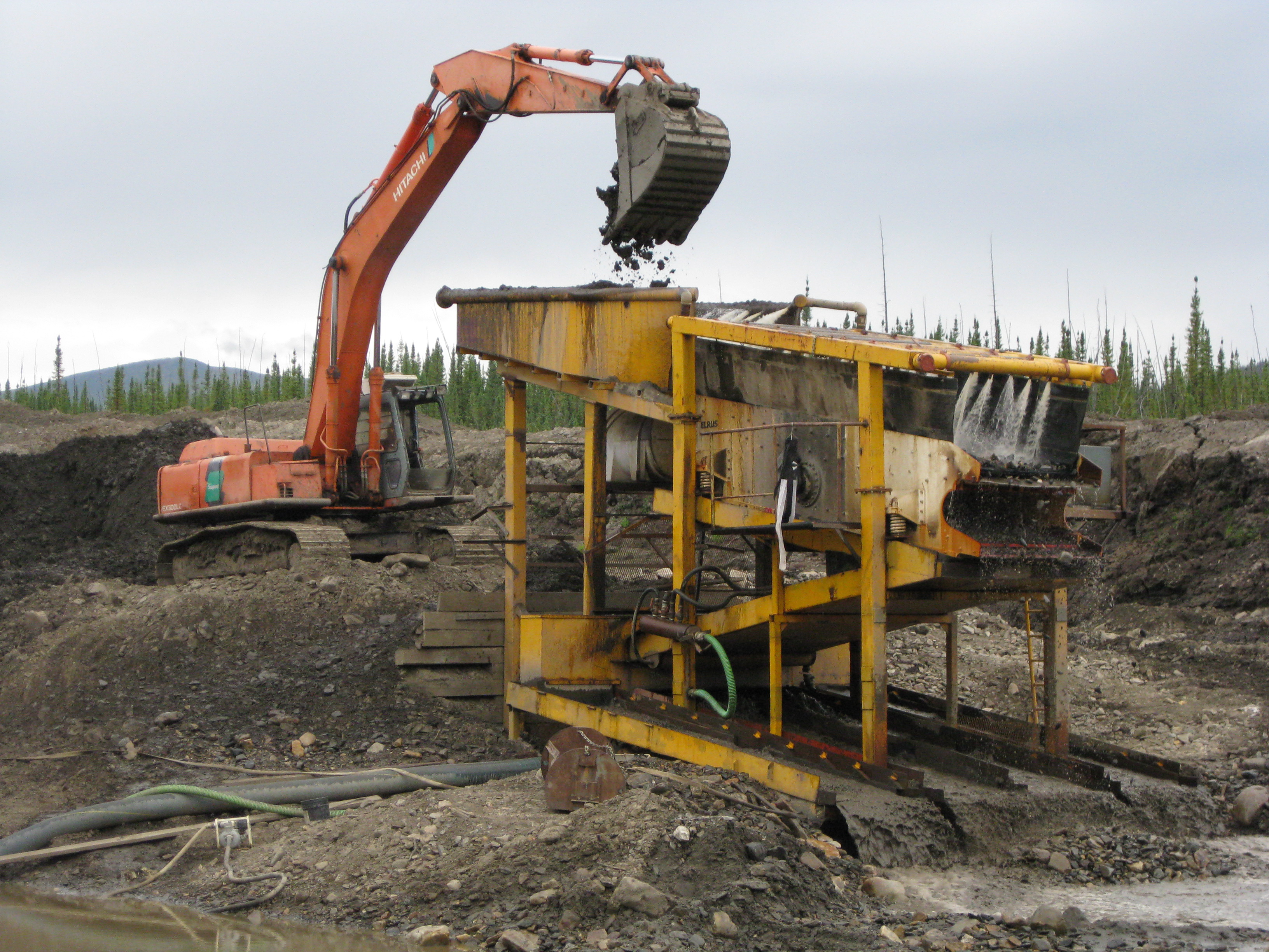
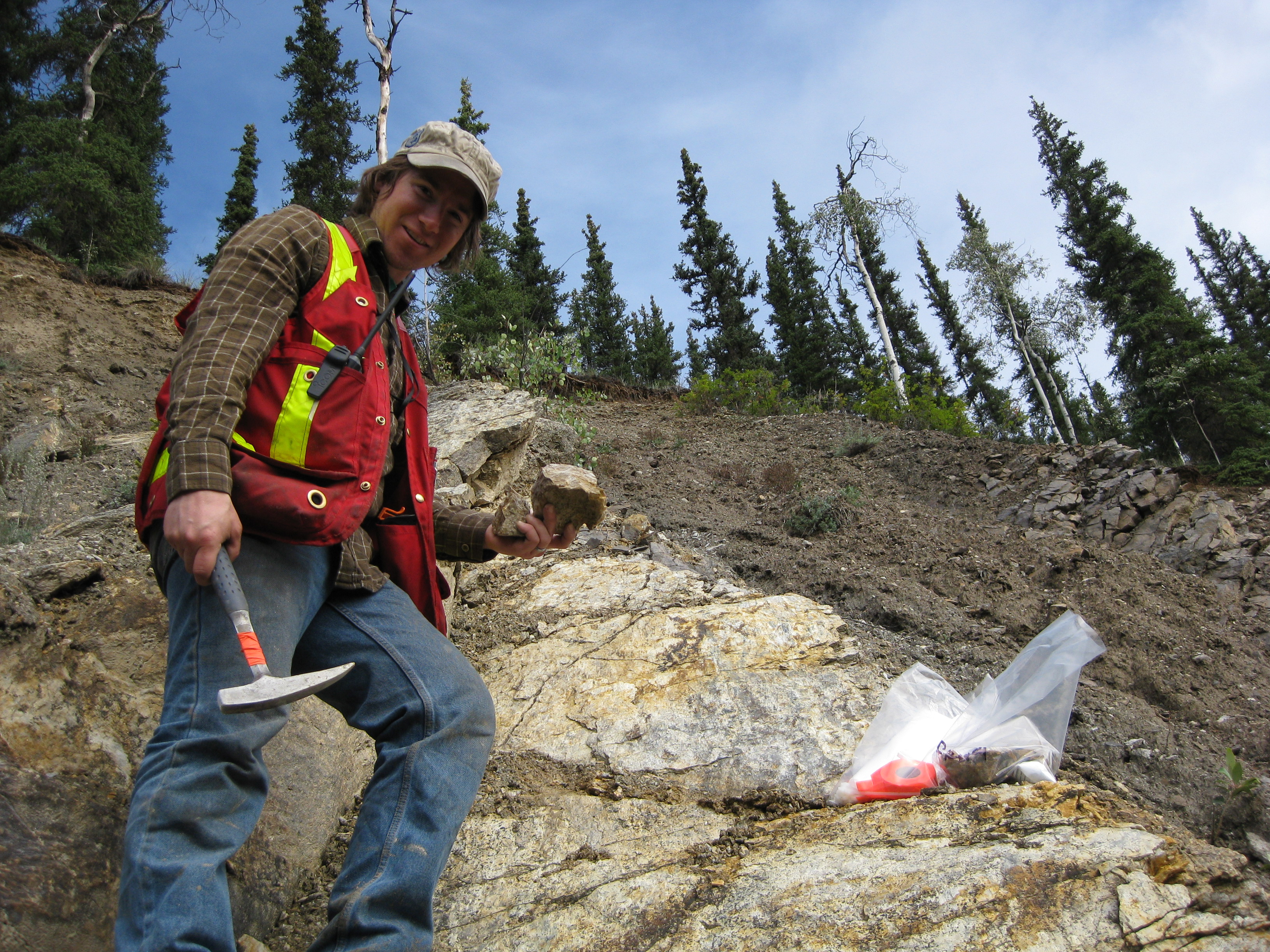
To further add uncertainty to global gold production small scale miners do not typically report their take. This is especially true in third world countries. A lot of gold is mined in this way, primarily placer but hard rock as well.
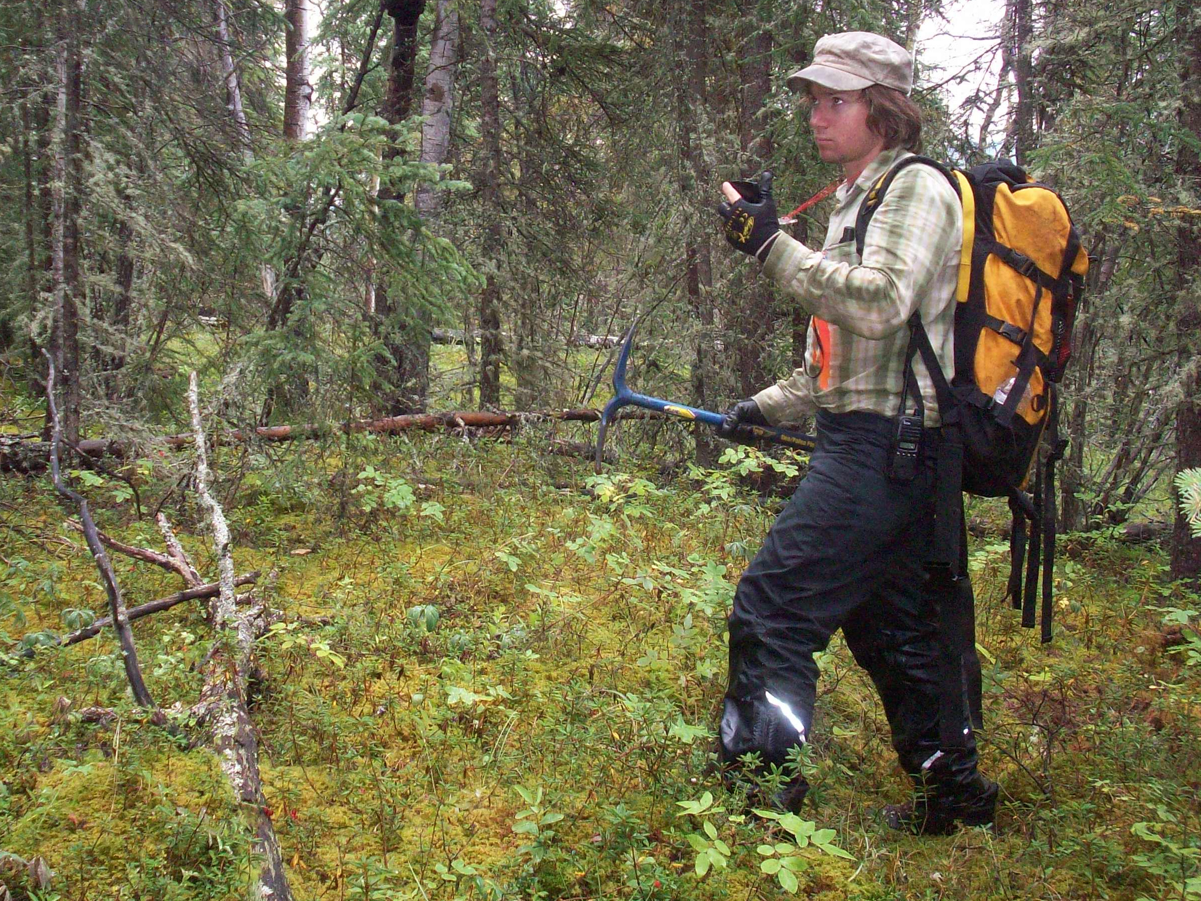
How much gold is left in the ground? Nobody really knows. Mining companies of all sizes spend their exploration budget to map out potential deposits. They are a long ways from mapping the entire earth. The peak gold estimates are based on proven and indicated reserves that are reported by public mining companies.
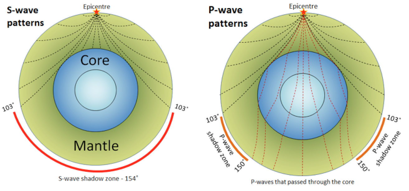
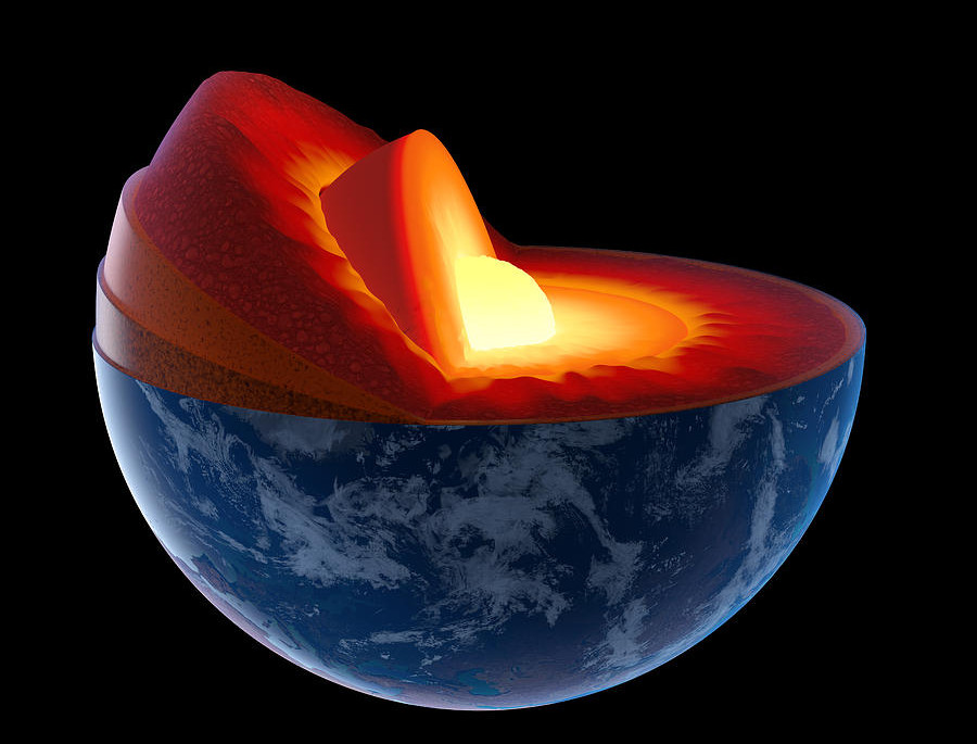
There is no shortage of gold on earth. The problem is that it is much deeper than we can mine. Current scientific theories estimate that there is enough gold in the core to cover the surface of the earth with a 4 meter thick layer of pure gold. The density of the core is measured using several techniques including seismic geophysics. Seismic waves are measured from earthquakes all over the world. The wave properties change as they pass through the liquid outer core and the super dense inner core. S-waves can’t travel through liquid, that is how the outer core is mapped. The density of the inner core is greater than iron at 5,515 kg/m3. Clearly there are large amounts of substances that are heavier than iron to achieve that density.
We are limited to several thousand meters below the surface as far as mining is concerned. Check out this blog post on the origins of gold.
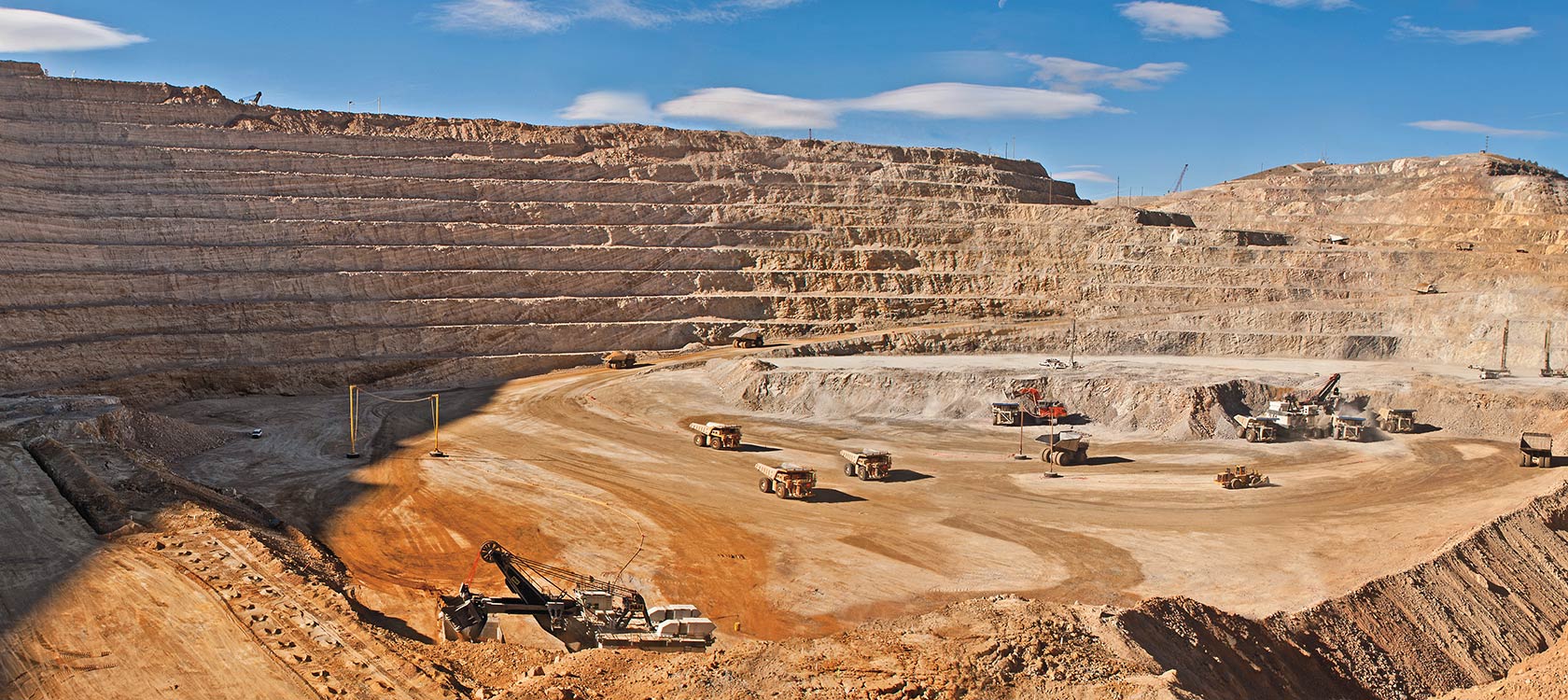
Lets do a little math. The average concentration of gold in Earth’s crust is estimated to be between 0.0011 ppm(source) and 0.0031 ppm(source). Now we can calculate the volume of the portion of the crust which can potentially be mined. The deepest gold mine in the World is TauTona Mine in South Africa which reaches 3.9 kilometers below ground. The TauTona mine, operated by AngloGold Ashanti, is a gold mine so its a good yard stick for how deep we can go.
The volume of the earth (approximated as a sphere) is 1,086,832,411,937 cubic kilometres. The calculated volume for the earth with 4km stripped off the top is 1,084,788,886,213 km3. Subtracting the two and using the average abundance of 0.0031 ppm we arrive at 6.3 billion cubic meters of gold in the top 4km of the crust. One more calculation, gold has a known density of 19.3 tons per m3. Which gives us a total mass of 122,264,143,828 or 122 billion metric tons. That is a lot of gold.
Our calculated estimate of 122 billion metric tons of theoretical gold includes the entire surface of the earth. Currently we are not equipped to mine the oceans, although technology is advancing quickly. Check out this article on sub-sea mining robots, LINK. The same processes that accumulate gold into deposits occur in the ocean just as they do on land. With 71% of the surface covered by ocean that is a significant area that is yet to be explored.
Lets adjust our estimate to account for only continental land which can be mined with today’s technology. So by subtracting the oceans we are left with 35 billion tons of gold on dry land.
Global production throughout the entirety of human history is 165,000 metric tons as previously mentioned. So in a very theoretical sense we have mined 0.00047% of the world’s surface gold. That’s very encouraging. Although not all of that gold is accumulated in mineable deposits. Typically you need at least 0.5 ppm to make a mine profitable. Depending on logistics, location, overburden and other factors that cut off grade can rise quite steeply. So all of that 35 billion tons is not really available to us.
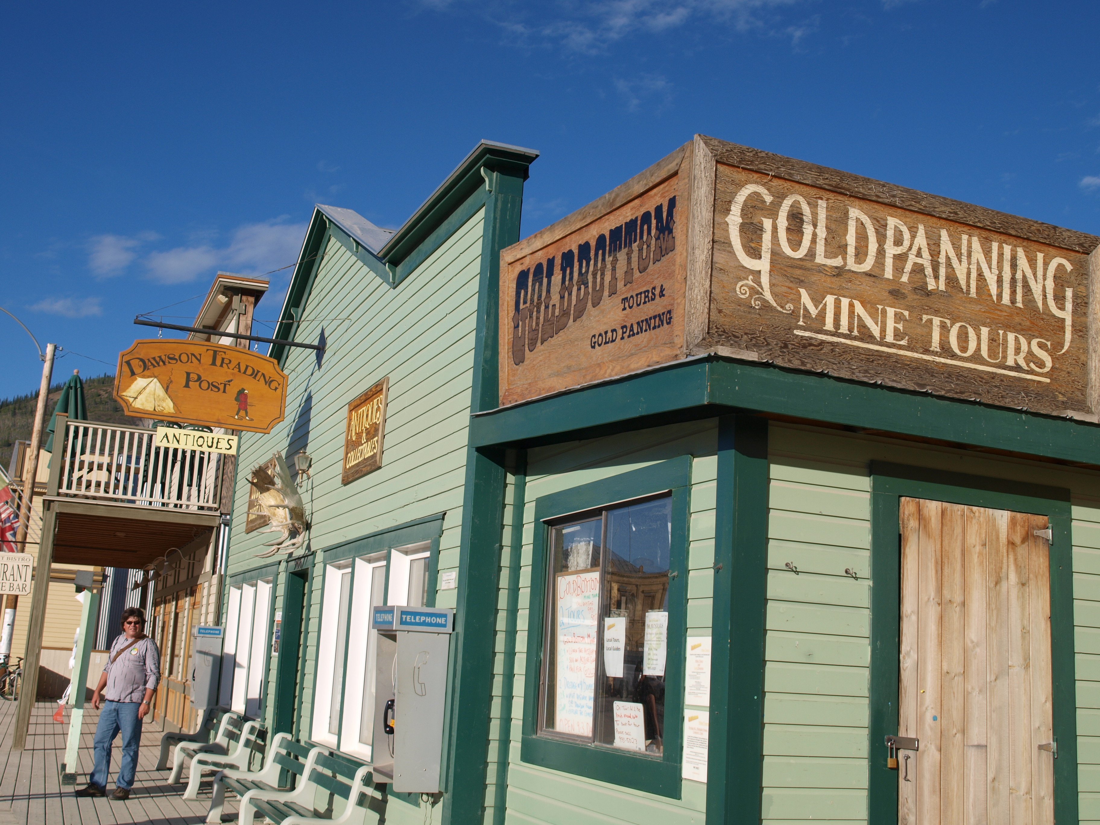
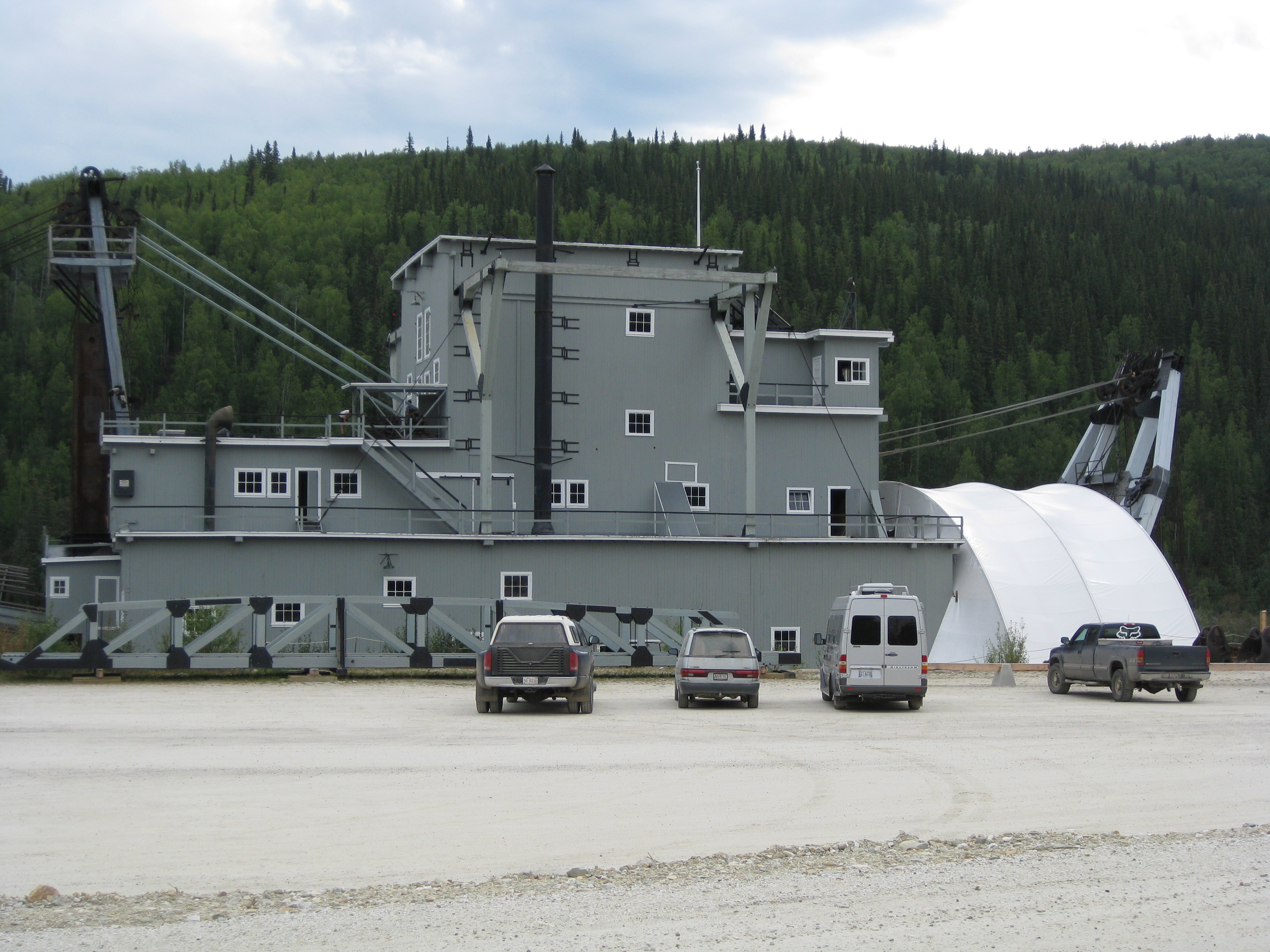
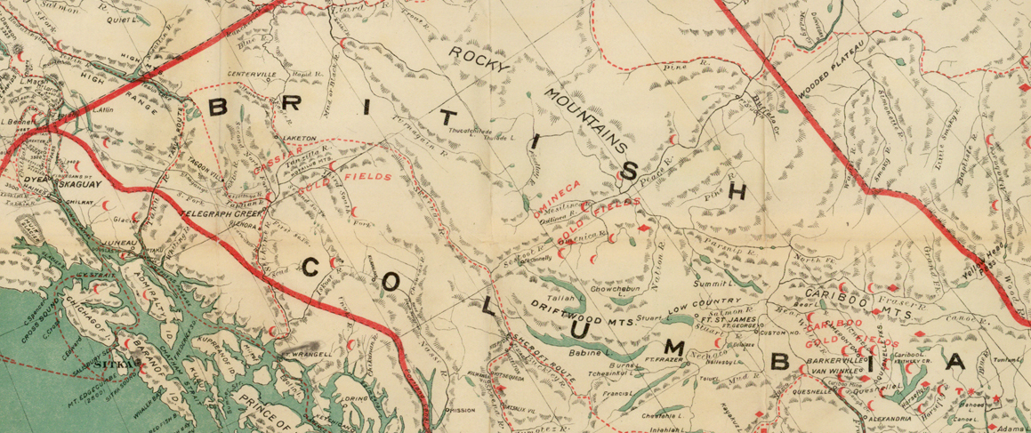
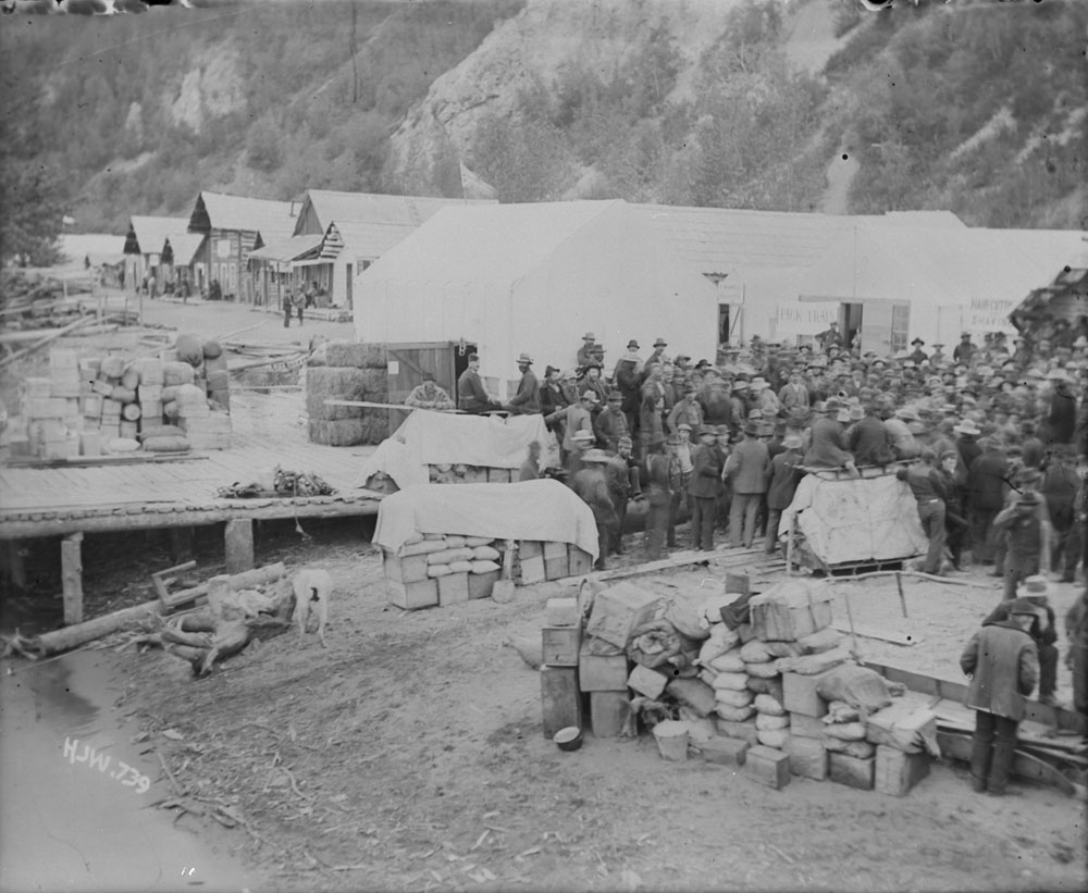
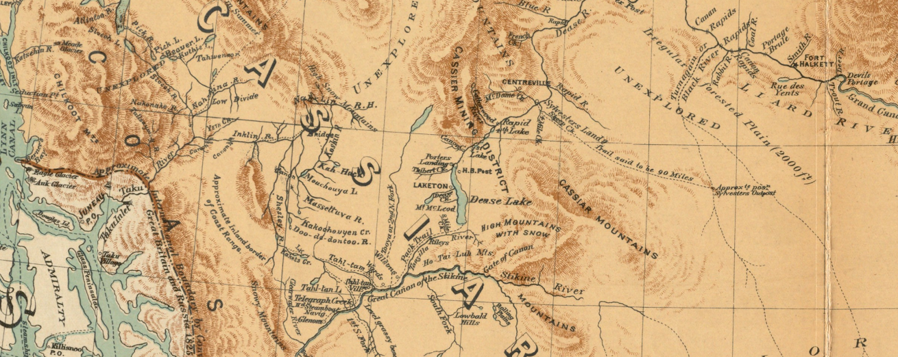
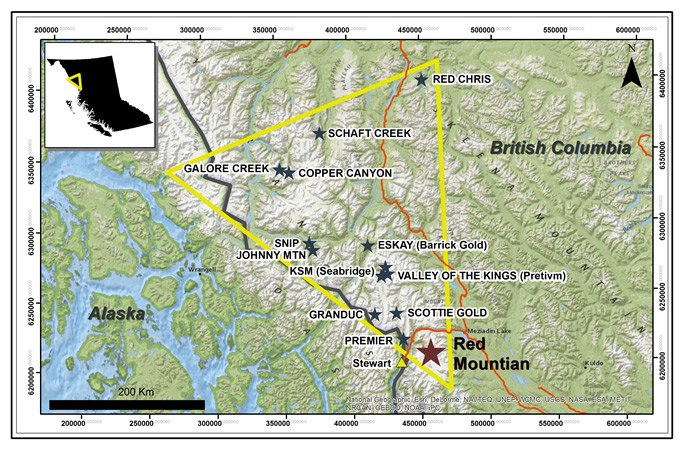
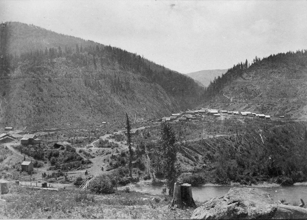
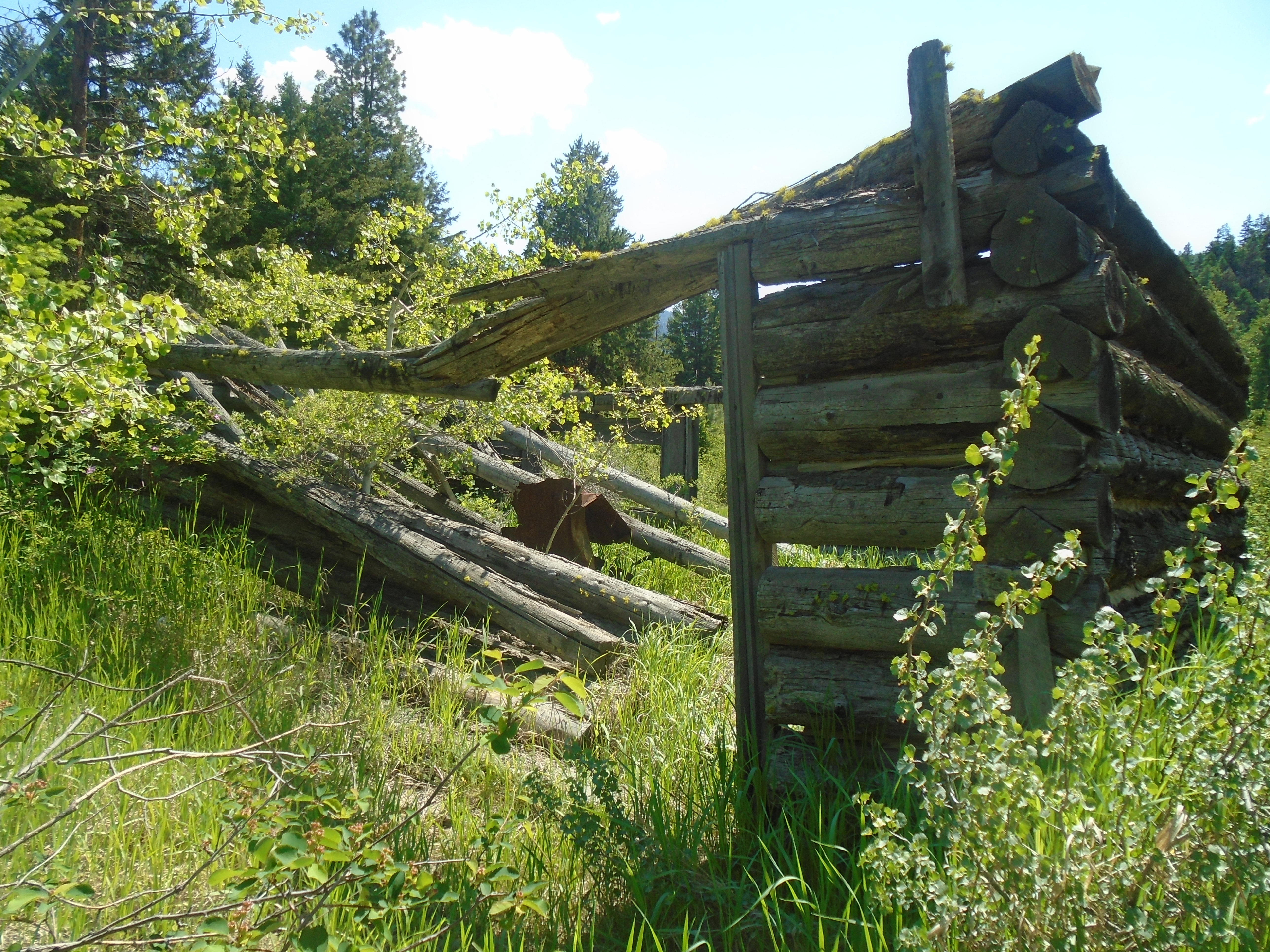
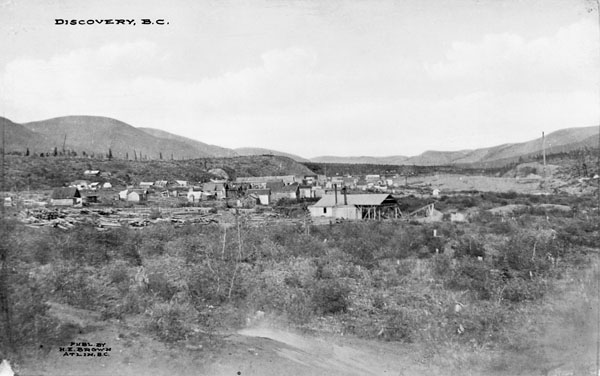
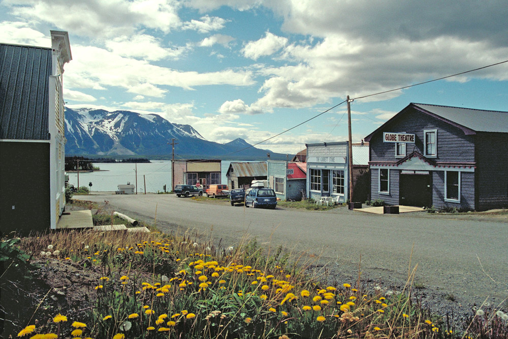
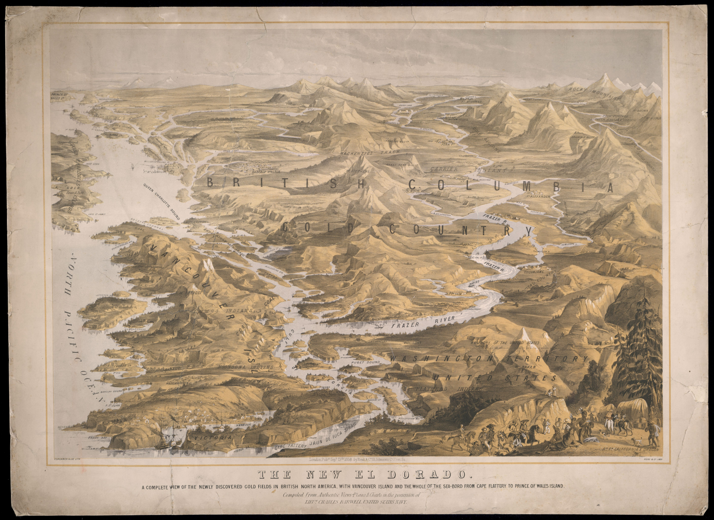
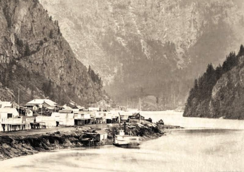
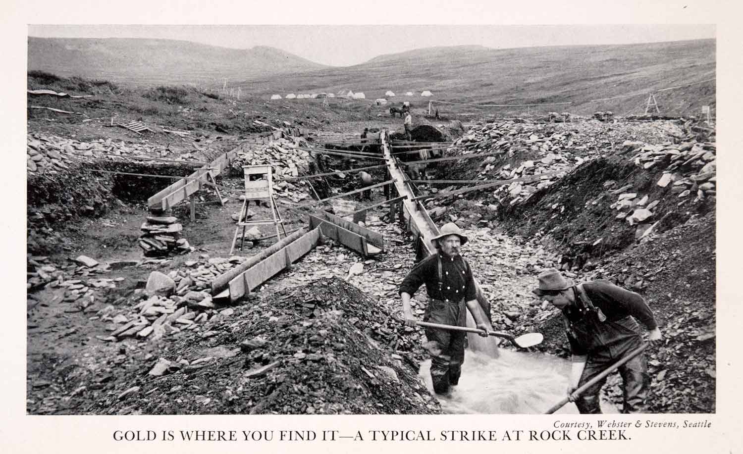
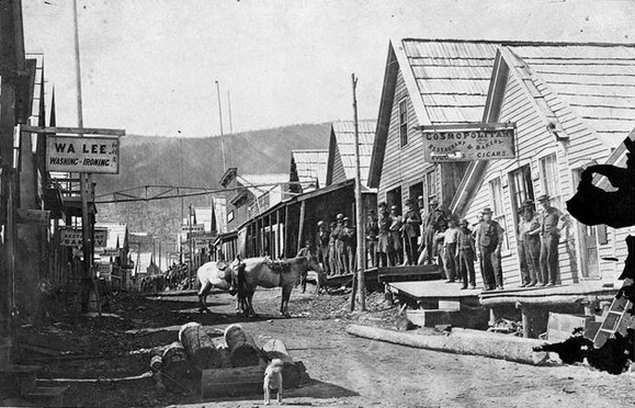
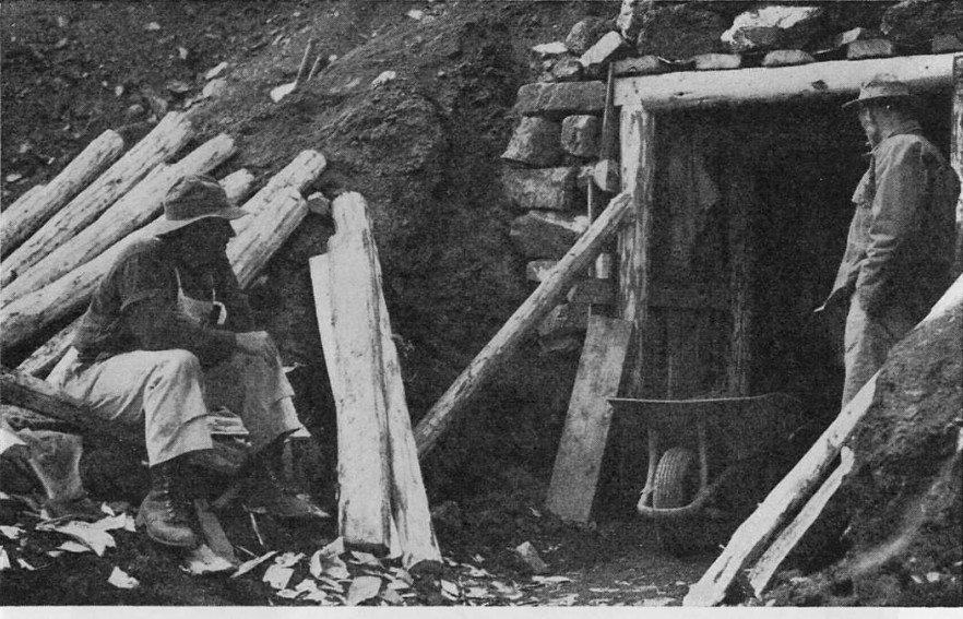
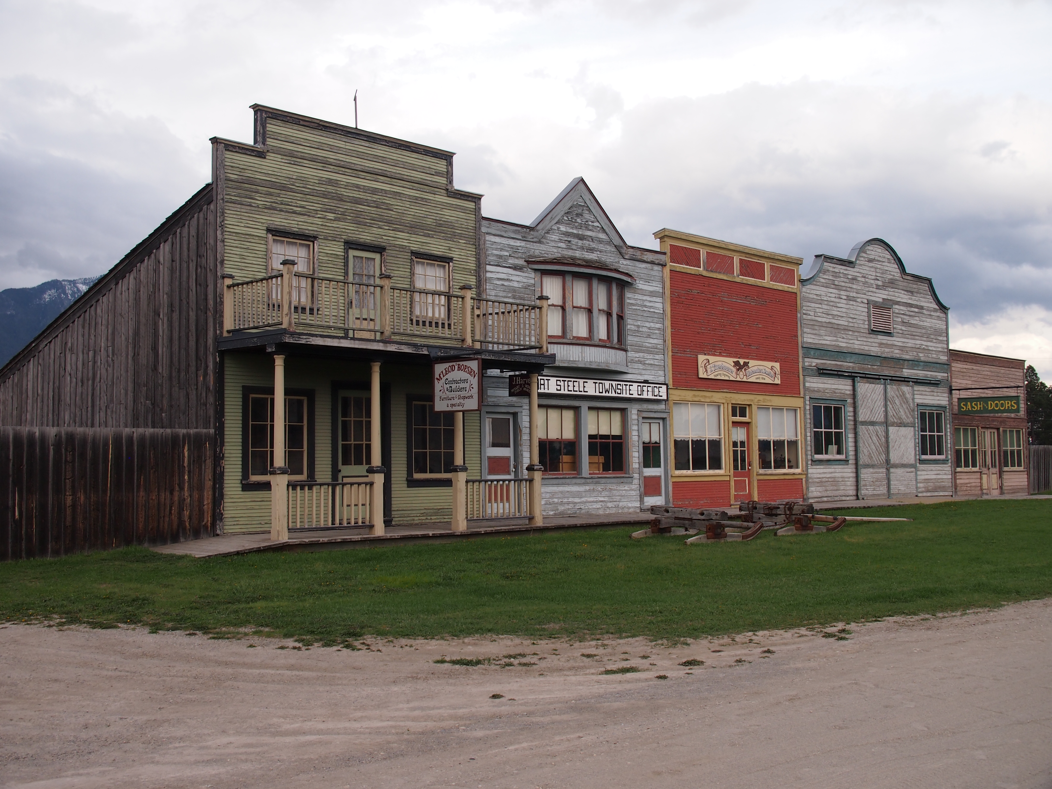
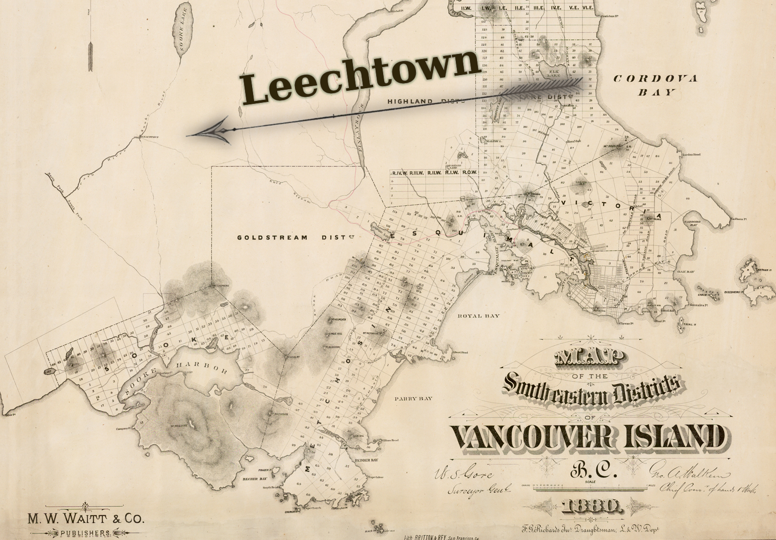
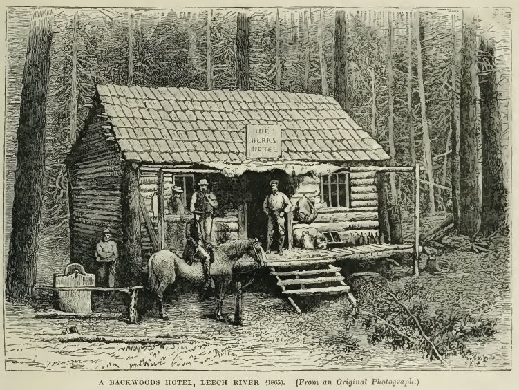
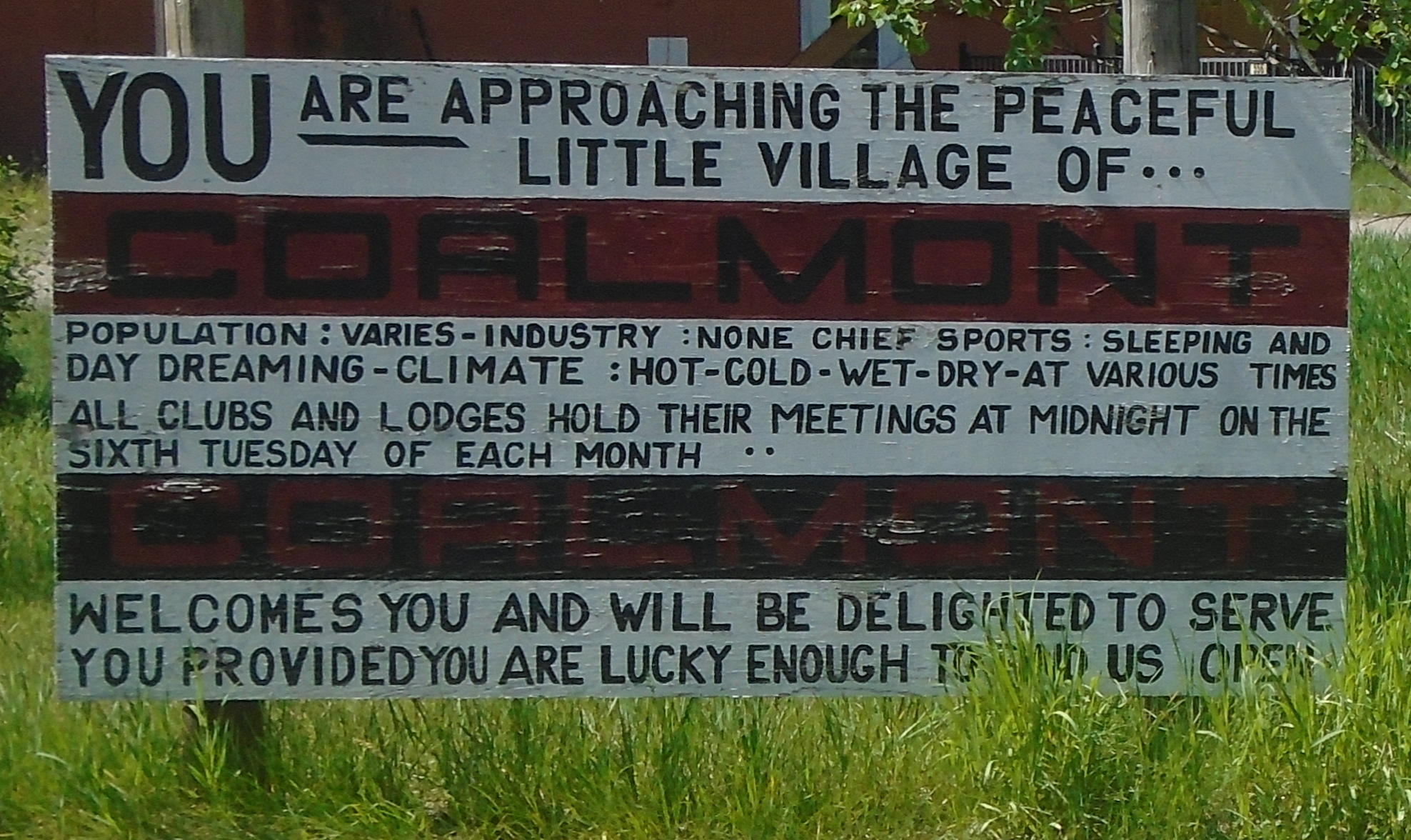
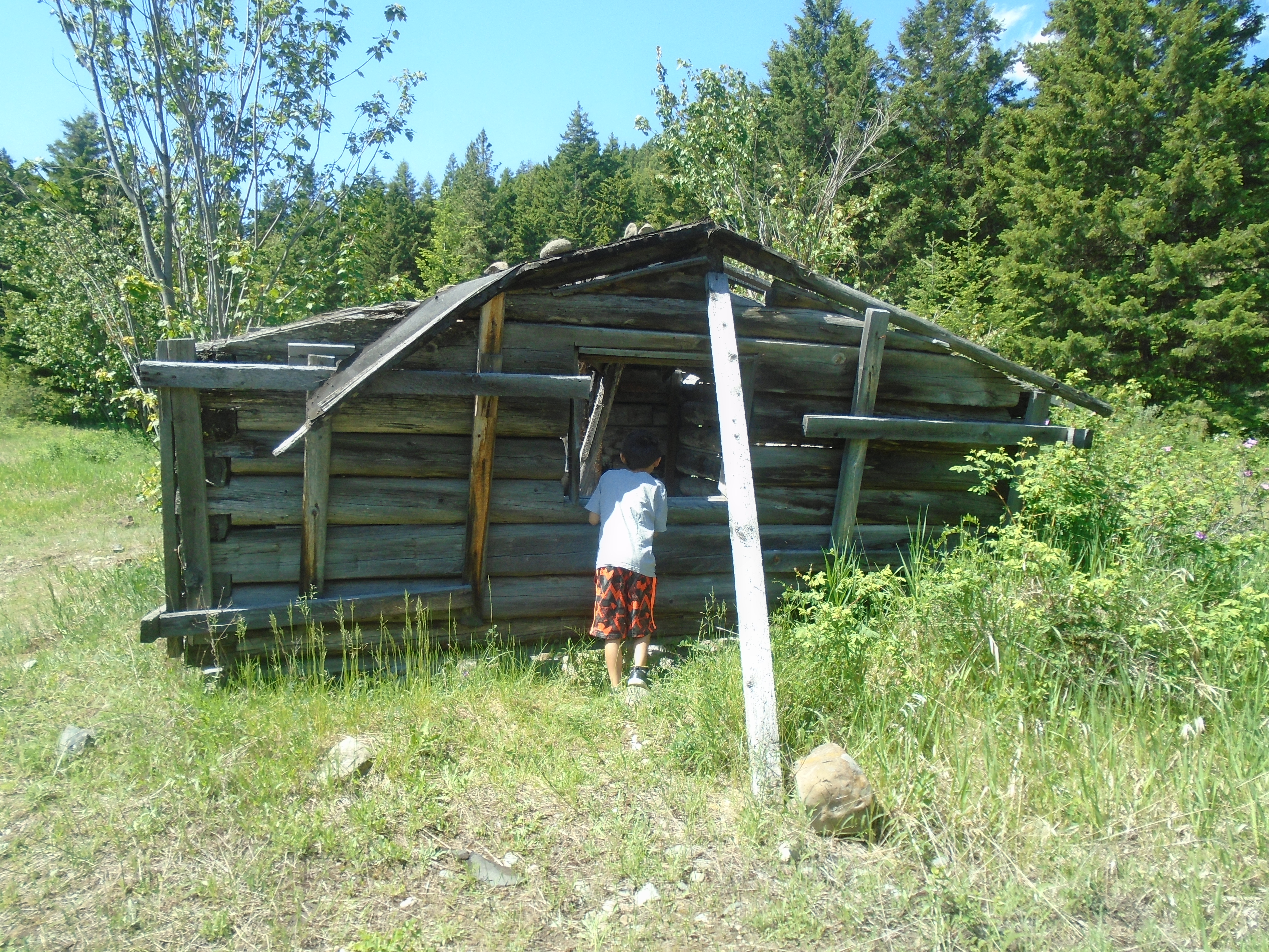
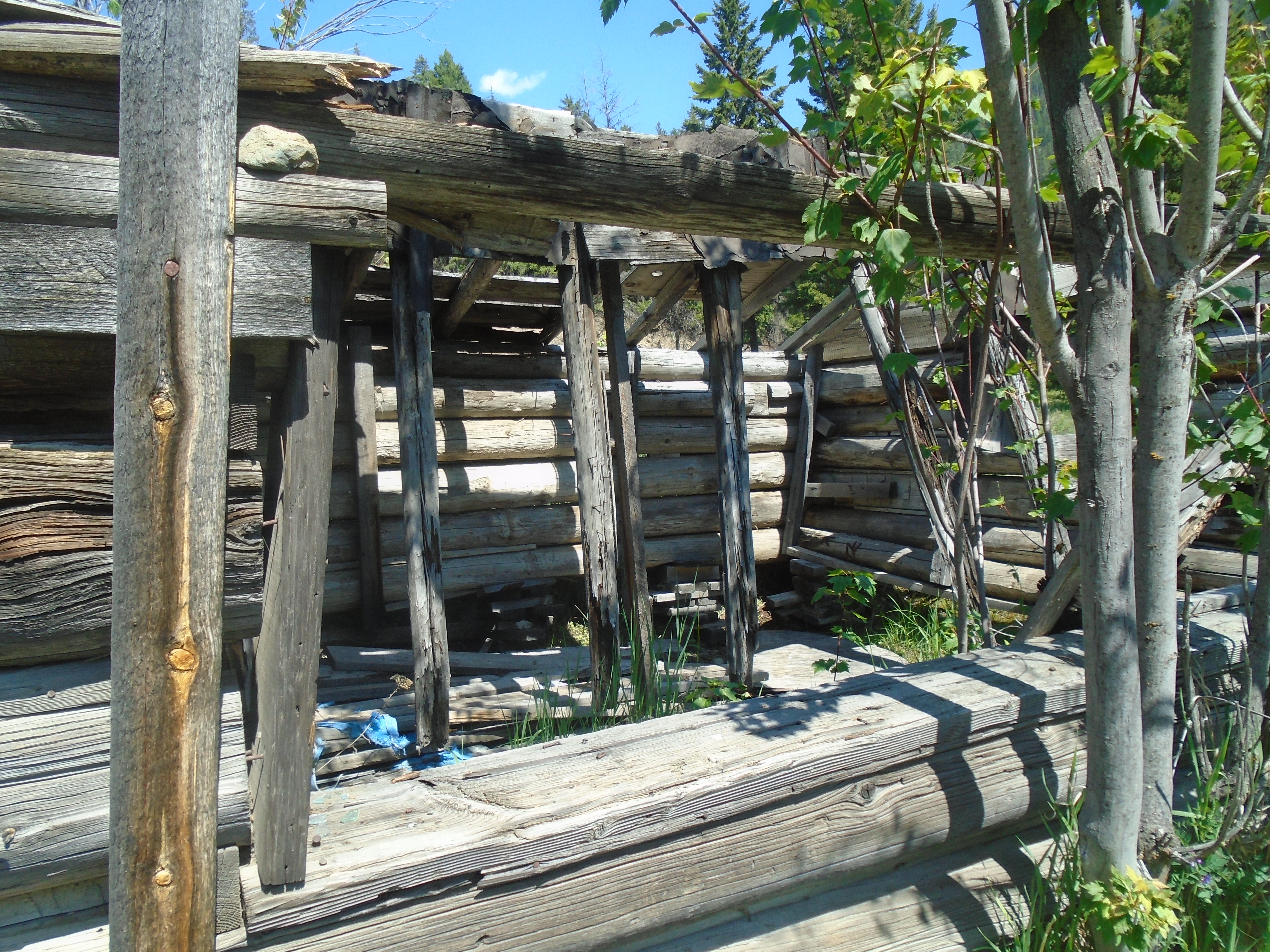
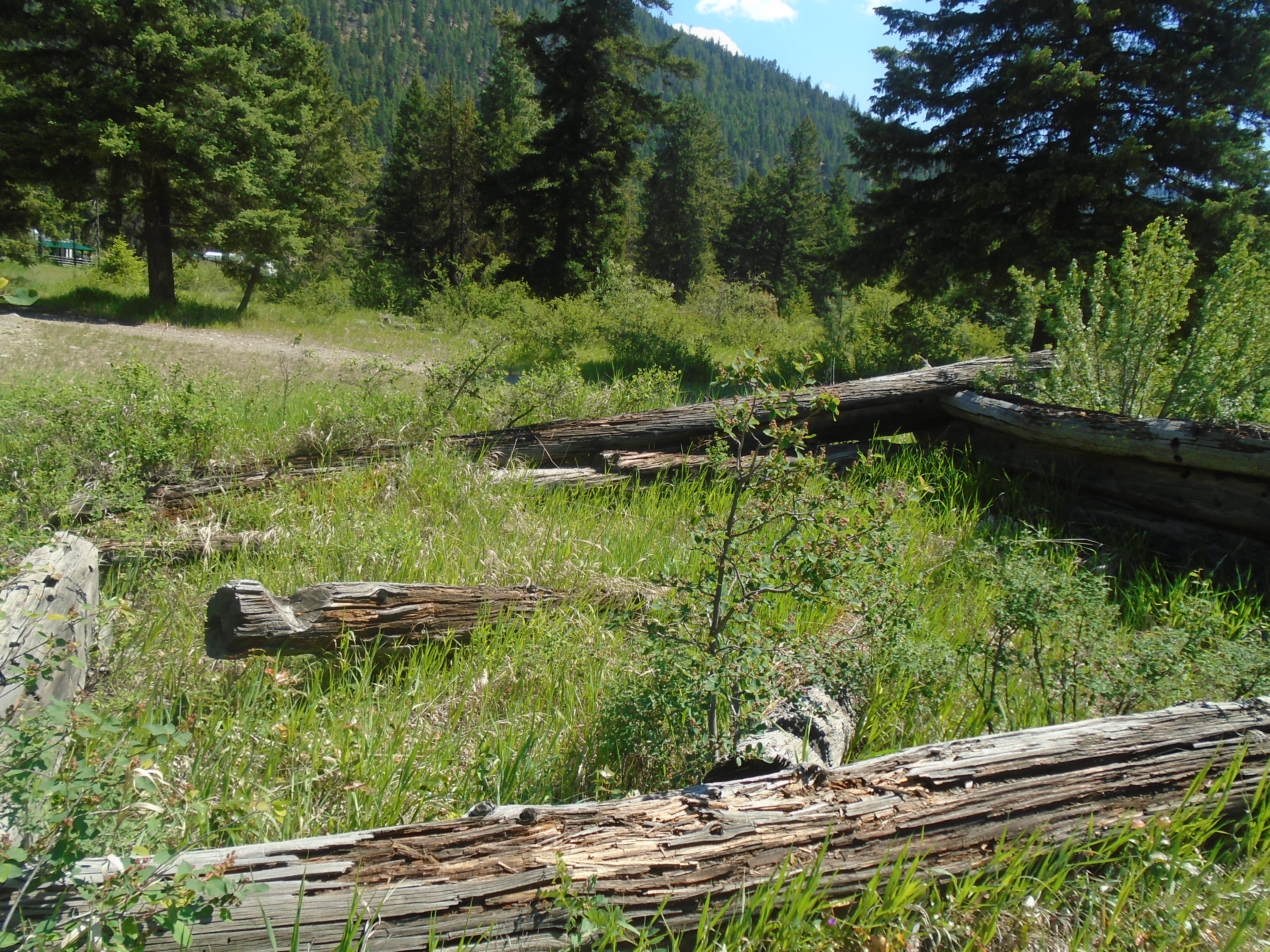
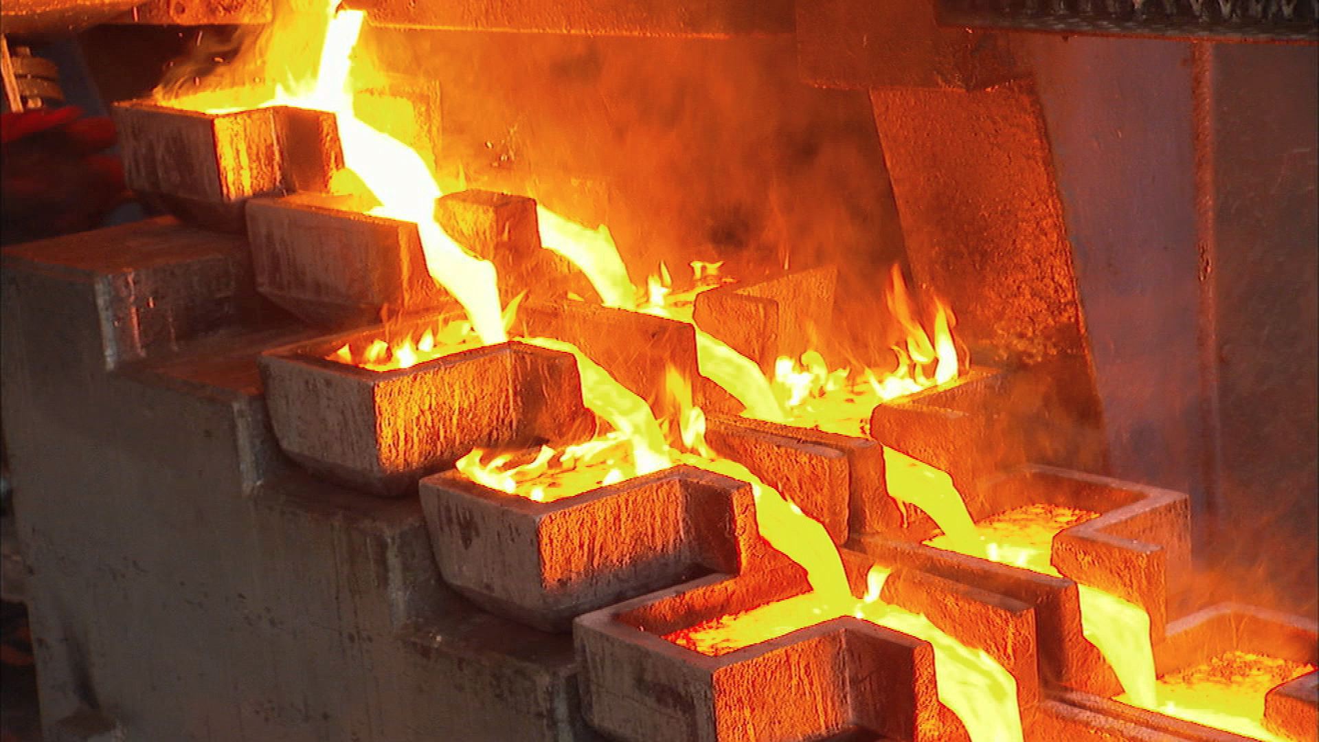
Once gold is discovered it will be mined. We are too greedy to leave it in the ground. Take a look at the gold rushes of North America between 1849-1900. There are some great blog posts on the subject here, Gold Rushes. The hoard of gold hungry prospectors would descend on a creek once a discovery was made. They would move in, erect a town and mine it for all its worth. Within 2-3 years all the easy gold is gone and only the tenacious miners would remain to mine the small gold. The rush would continue elsewhere and repeat the cycle. The same thing happens with hard rock mining but on a longer time scale.
Peak gold takes this phenomena into account. Much like peak oil we’ve picked the low hanging fruit wherever it has been found. Gold is a little different because it is very hard to find. When it comes to oil reserves the big ones stick out like a sore thumb.
Typically it takes about 20 years to go from discovery to full scale gold mine. That involves all the steps to test a property using prospecting, geophysics, and diamond drilling. Delineating the reserve and all the stuff that it takes to build a modern mine (permits, studies, infrastructure and so on).
With the current state of the mineral exploration that 20 year lead time is going to come back to bite us. Over the last few years mineral exploration has dropped off to the point that it is almost non-existent. That seems counter-intuitive if we are running out of gold. Exploration is a high risk investment and people don’t take the risk unless commodity prices are high. The good news is that when prices spike again like they did in 2010 there will be a massive feeding frenzy.
So we’ve estimated that within 4000m of the surface of Earth’s crust there is 35 billion tons of gold. With a remaining 87 billion under the ocean. Only a small portion of that is concentrated enough to mine. Its a big world out there and we’ve only properly explored small pockets of it. The super easy stuff is largely gone but with advancements in technology and some ingenuity its there for the taking. For those explorers who are willing to put on their thinking cap and step outside of their comfort zone there is a bonanza waiting for us. Gold doesn’t disappear, it just gets harder to find, and some people are simply wired to keep looking.