Developing a successful placer mine is hard. Really hard. The failure rate for rookie miners is well over 60%. At face value it seems simple, dig gravel with an excavator and wash it through a plant. The challenges compound quickly though and if you’re not ready for them you’ll be part of the 60%.
Due to the daunting task in front of them many miners look for shortcuts. The allure of an easier way has been the downfall of many would be miners. This article lists some of the common shortcuts that are guaranteed to bankrupt your placer mining operation. If you can steer clear of them you might just make it in this business.
1. Nobody has to mine
If you are in a situation where you feel that you are forced to mine in the coming season you’ve already made a big mistake. Mining should never start from a place of pressure, and when it does, the ground usually ends up teaching an expensive lesson.
If you take on debt or make commitments that push you to produce gold before you are ready, you put yourself in a weak position. Proper exploration and planning must come first. There are no exceptions. Without that foundation, you might as well be sitting at a roulette table.
Investors tend to put a lot of pressure to mine as soon as possible. If you are borrowing money to get your mine going make sure that the investors or lenders are prepared for a multi-year exploration timeline. There is no need to rush things, the gold has been there for thousands of years, you want to have solid information before you drop big money on mining equipment and large cuts.
Plenty of projects have gone sideways because the early stages were rushed or skipped. Take the time to gather good data and think things through before you turn a single bucket of dirt.
2. Seeking shallow ground
Sure, shallow ground is easier to mine, but that’s not necessarily where the gold is. This is another shortcut that comes up often. Many miners walk right past great deposits because they only focus on shallow gravels. Most people know that gold usually collects at deeper points in valleys but don’t want to take on the challenge of exploring deep deposits.
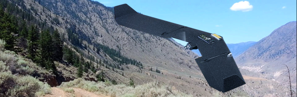
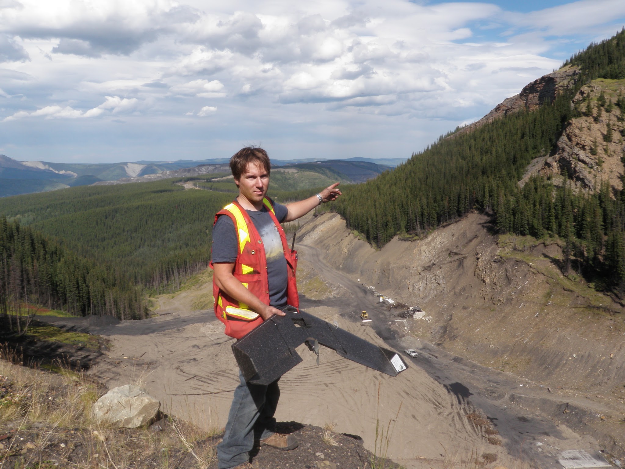
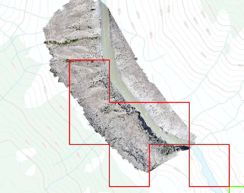
Here is a news flash for you, nature does not care about your equipment, your schedule, or your comfort. Nine times out of ten the gold will be sitting on the bedrock. If the bedrock is deep, then the gold is deep. This is why proper exploration is so important. Good testing allows you to build a mining plan that matches the deposit. Not every deposit is minable. Sometimes it is too deep or too challenging. That is the nature of the business.
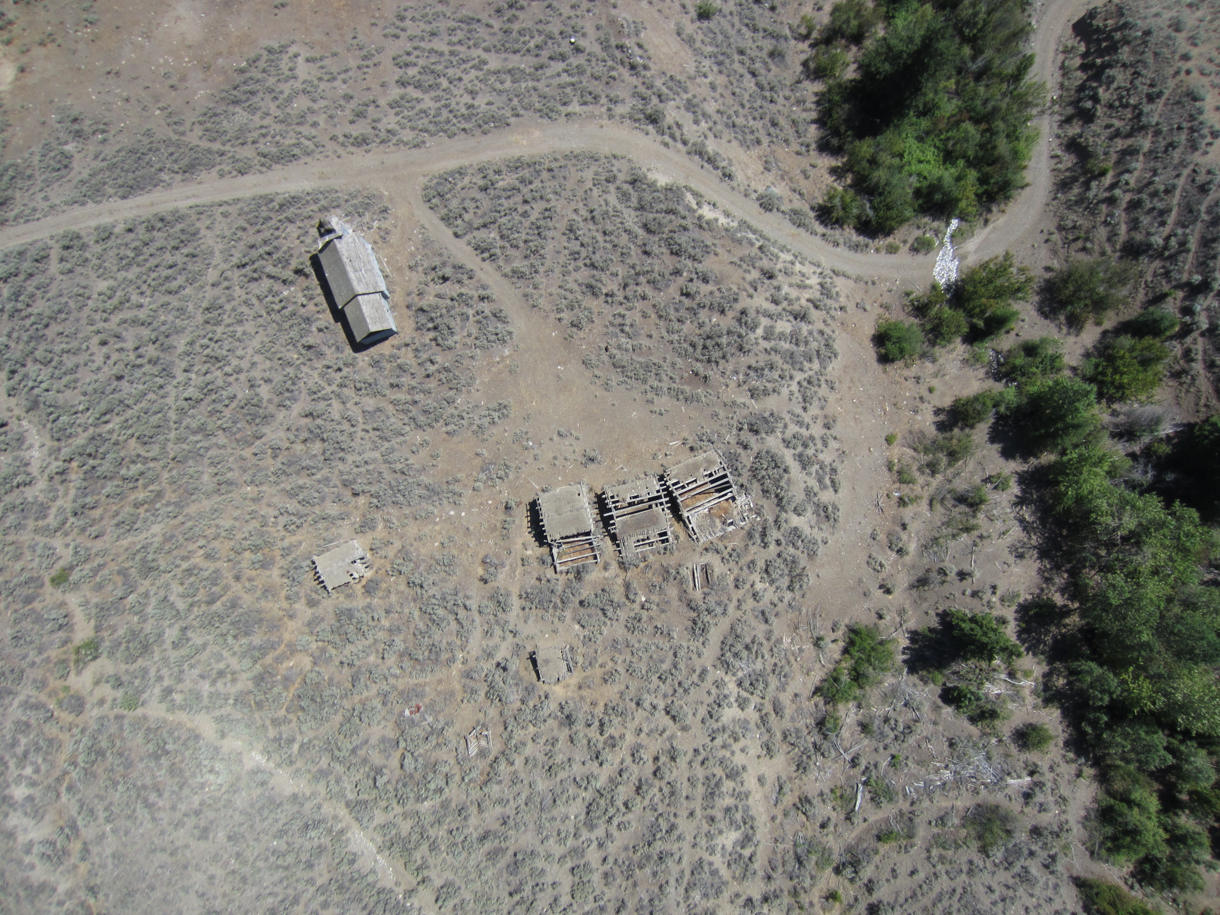
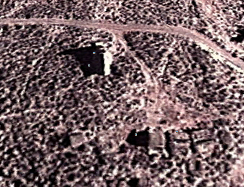
To further compound things many areas have already been partially or completely mined. Areas like the Klondike and BC’s Cariboo have seen extensive mining since the gold rushes of the 1800s. In many of those locations the easy gold is gone but there are excellent paleochannels that are yet to be discovered.
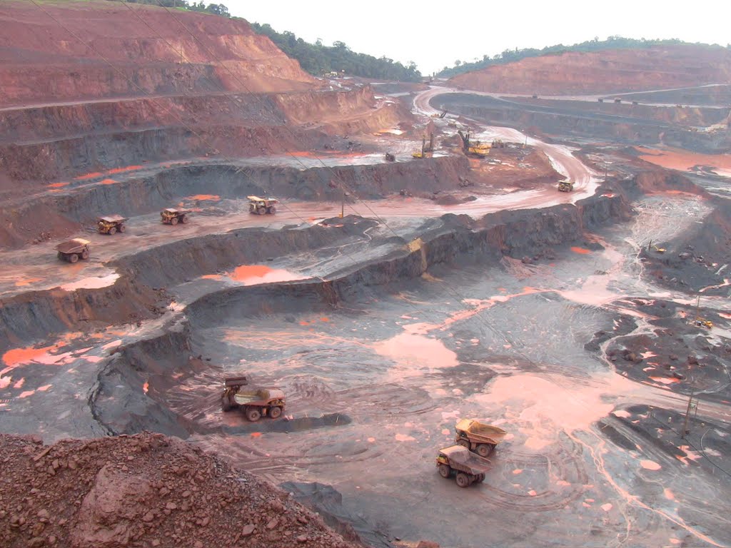
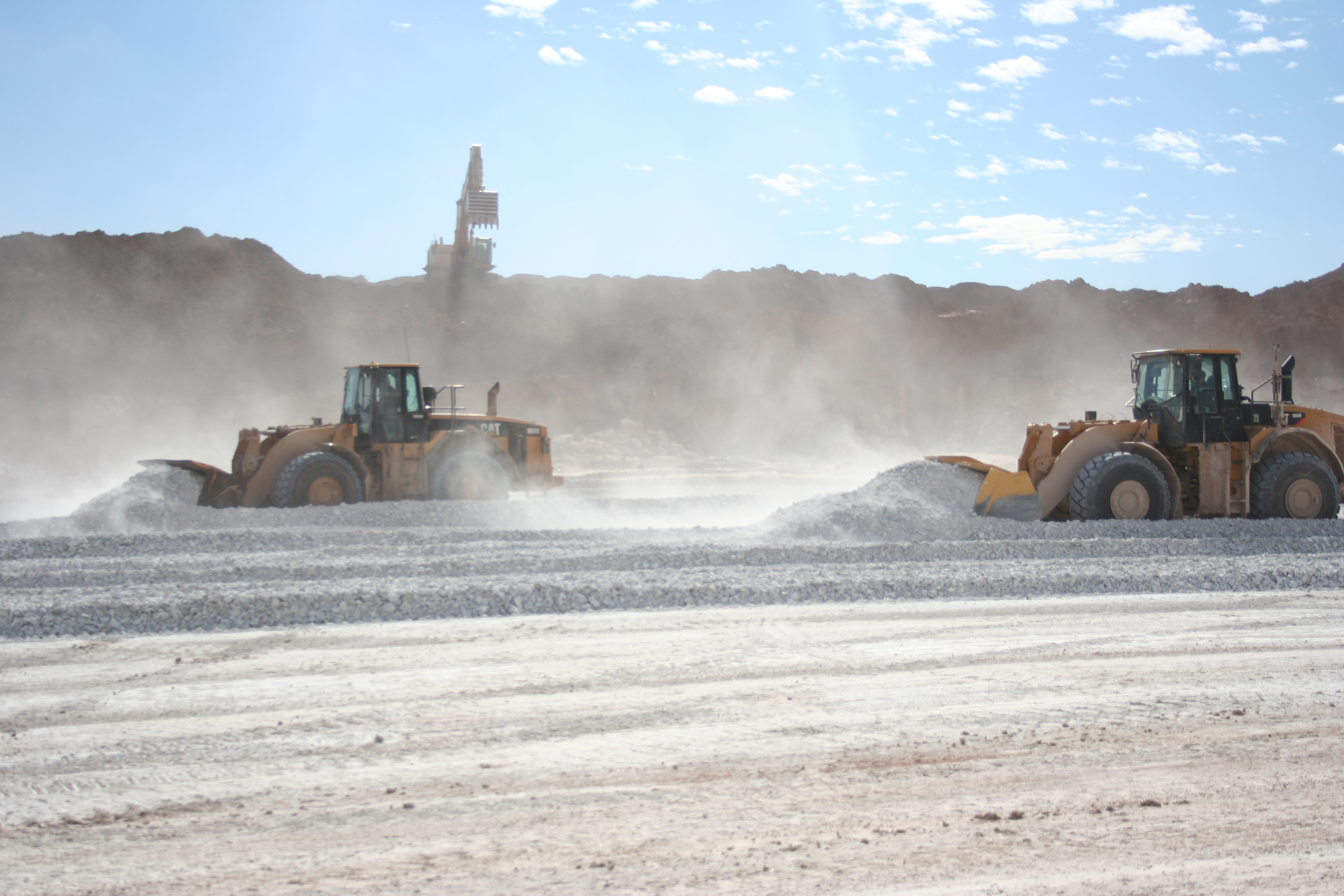
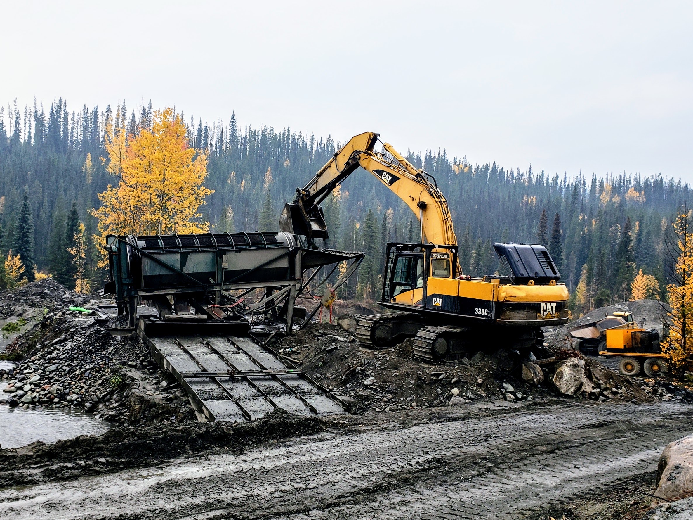
3. Buying too small of an excavator
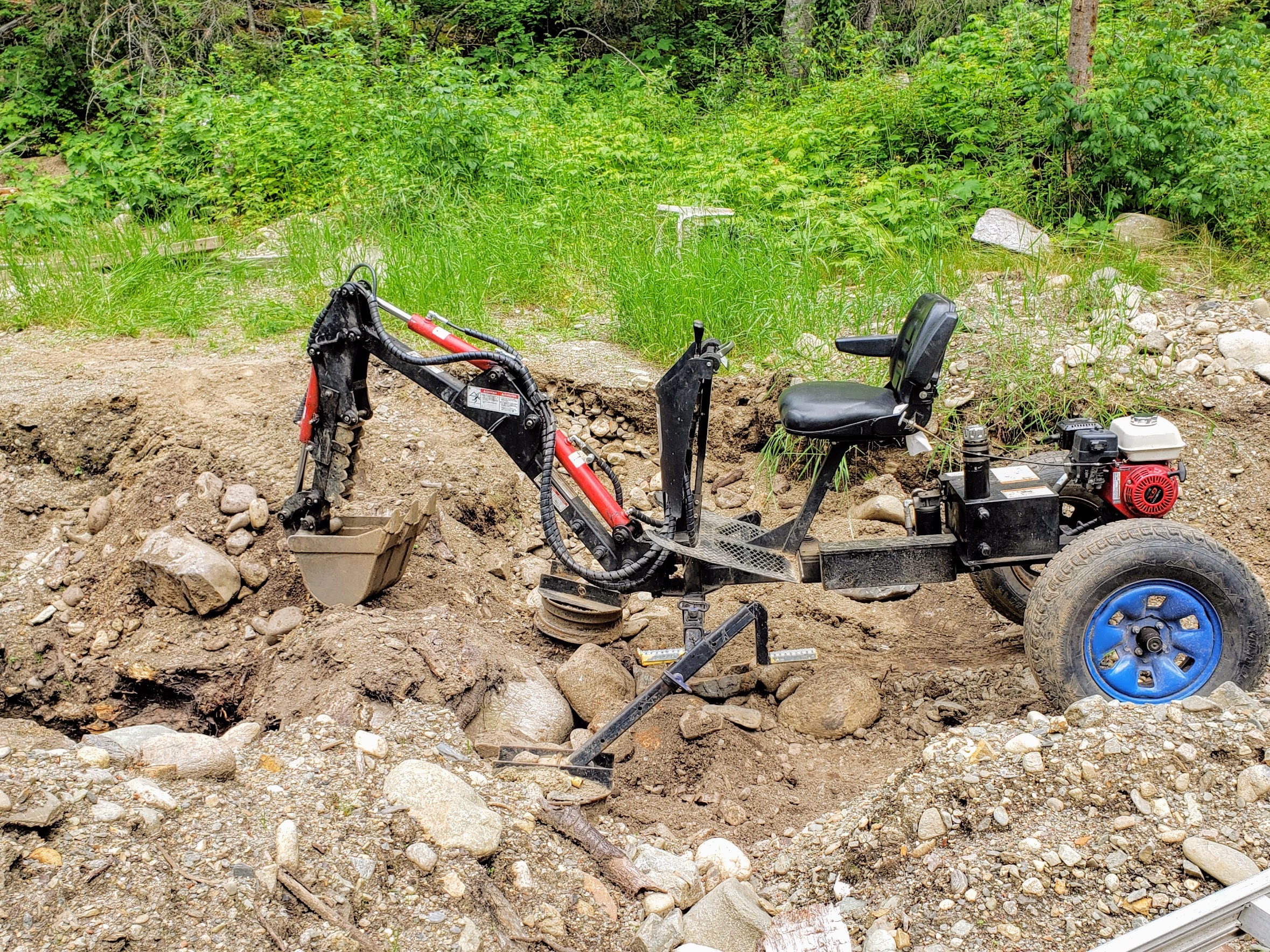
Many miners, when scaling up from hobby mining to permitted machine mining, try to use a small excavator. This is often due to costs or unfamiliarity with equipment. There is no good reason to come in half cocked. If you are going to go through the effort of getting a permit and developing a mine, then get the right equipment.
We have seen guys work the same ground for multiple years with a Princess Auto excavator. They cannot even move the mid sized boulders. So they spend months figuring out ways to move boulders and base their whole operation around their tiny machine. Needless to say, these operations do not have much gold to show at the end of the season.
You do not always need giant equipment either. It might not be appropriate to run a 470 Hitachi. You need to choose the right tools for the job. If you are new to the game, then save up some money and get something that can actually move some dirt. Proper exploration will guide you on what size of excavators, wash plants, dozers, loaders, and other equipment you will need in your mine plan.
4. Seeking ground that fits your equipment
Many miners end up falling into a rhythm that they are comfortable with. Some guys like screen decks and belt feeders, other guys like floater barges. Some guys are comfortable with trommels and rock trucks. That is great as long as the ground allows for it.
There are many experienced placer miners who have one particular style of mining and will not stray from it. They look for ground that fits that style and ignore anything that falls outside their comfort zone. This severely limits your options, or worse, traps you in an endless uphill battle as you try to force the wrong gear to work in the wrong environment. Conditions change from valley to valley, and your equipment needs to match those conditions.
There is no single mining technique that works everywhere. For example a trommel is not always the right tool. Maybe your dad used a derocker in the Yukon, that doesn’t mean it will work in the Cariboo. Different regions have different gravel sizes, clay content, water flow, and bedrock conditions. What works well in one area can perform terribly in another.
You have to tune your system to the environment that you are working in. A good miner is able to adapt. You must build the plan around the deposit. Seeking ground that fits your existing equipment or your favored technique will severely limit your options.
5. Untested theories and fantasies

It is amazing how prevalent urban legends and rumours are in modern placer mining. Exploration is hard, and everyone is looking for an edge. Rookies and experienced miners alike fall into this trap. There are plenty of legends, hearsay, rumours, and advice to go around. Do not latch onto a story and build your whole operation around it.
For example, suppose a miner with a strong reputation tells you that they know there are 4,000 ounces sitting just over that hill. Are you going to drop everything and try to mine it? Many people do.
Tips can get you started, but they are no substitute for legitimate, rigorous exploration. I am sure you are nodding your head right now, but these types of shortcuts still manage to seduce some of the best of us. Testing, sampling, and exploration are hard and time consuming, but there are no shortcuts. If you want to make it in this business, you need to stick to your plan and be methodical. As enticing as a story might be, take it with a grain of salt. That includes your own theories. Some miners hold on to a theory for 30 years and never want to admit that they are wrong. It is OK to be wrong. Test your ideas and throw them away when they are not working.
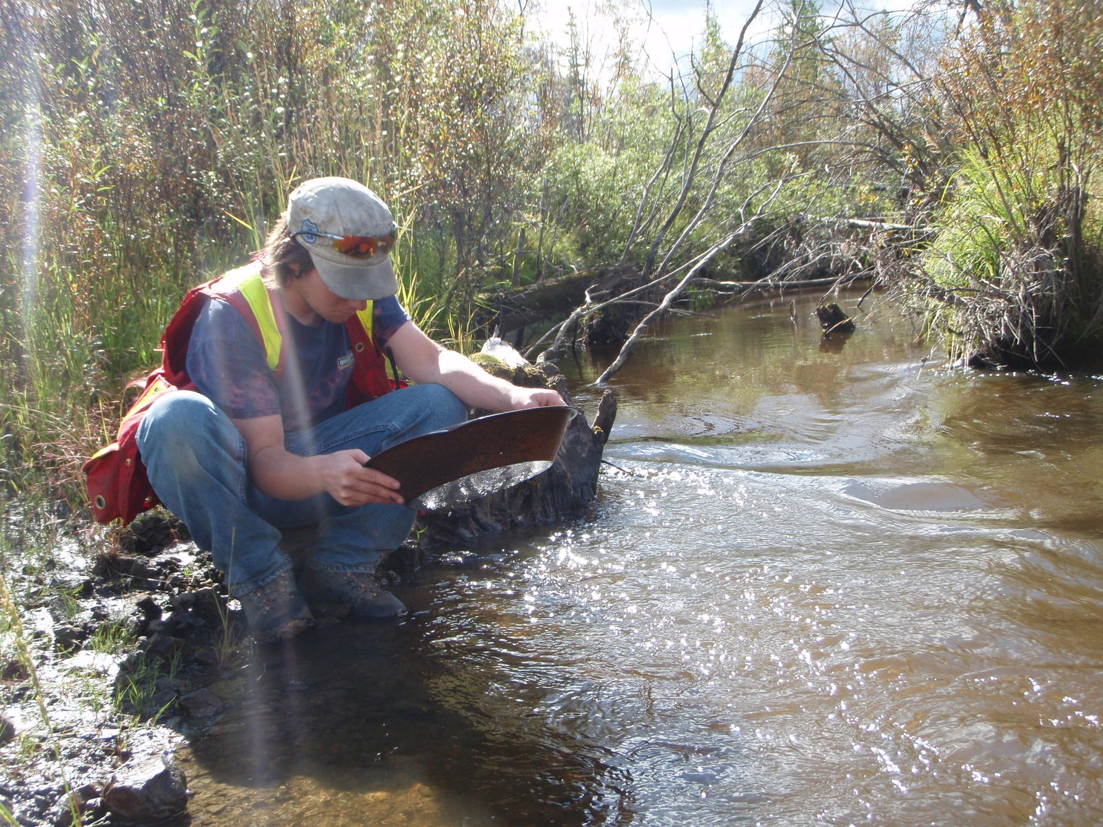
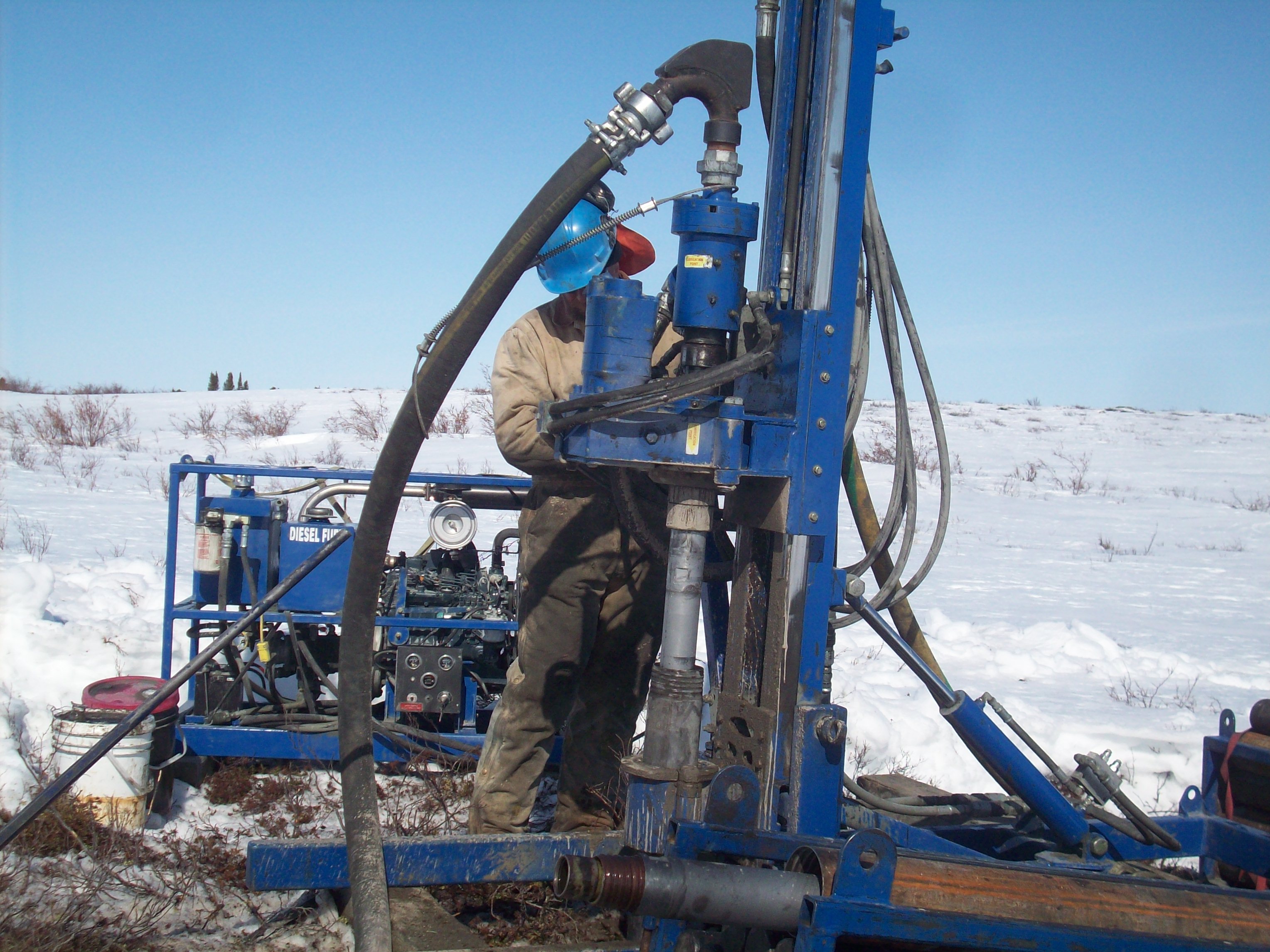
6. Insufficient sampling
.
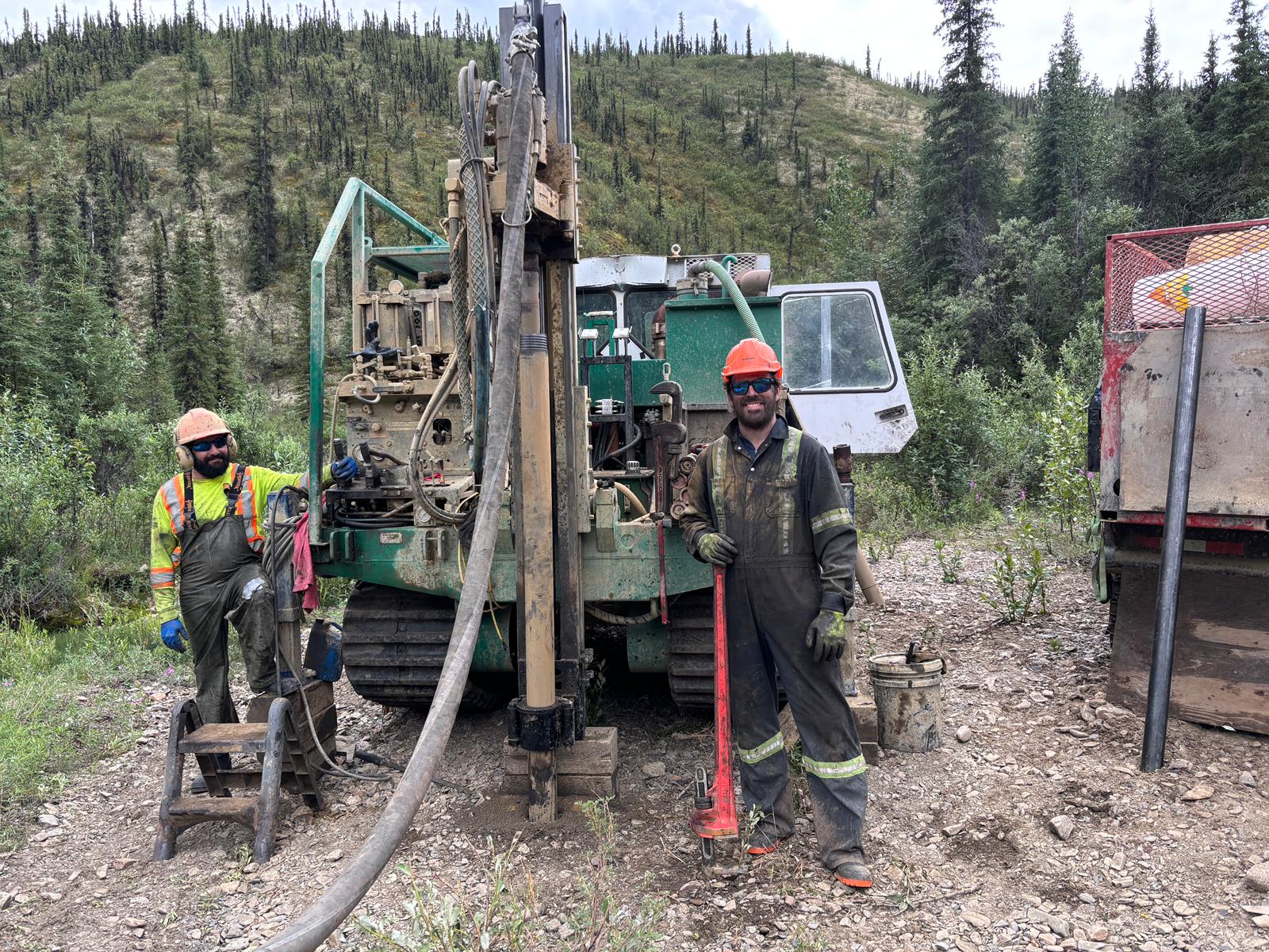
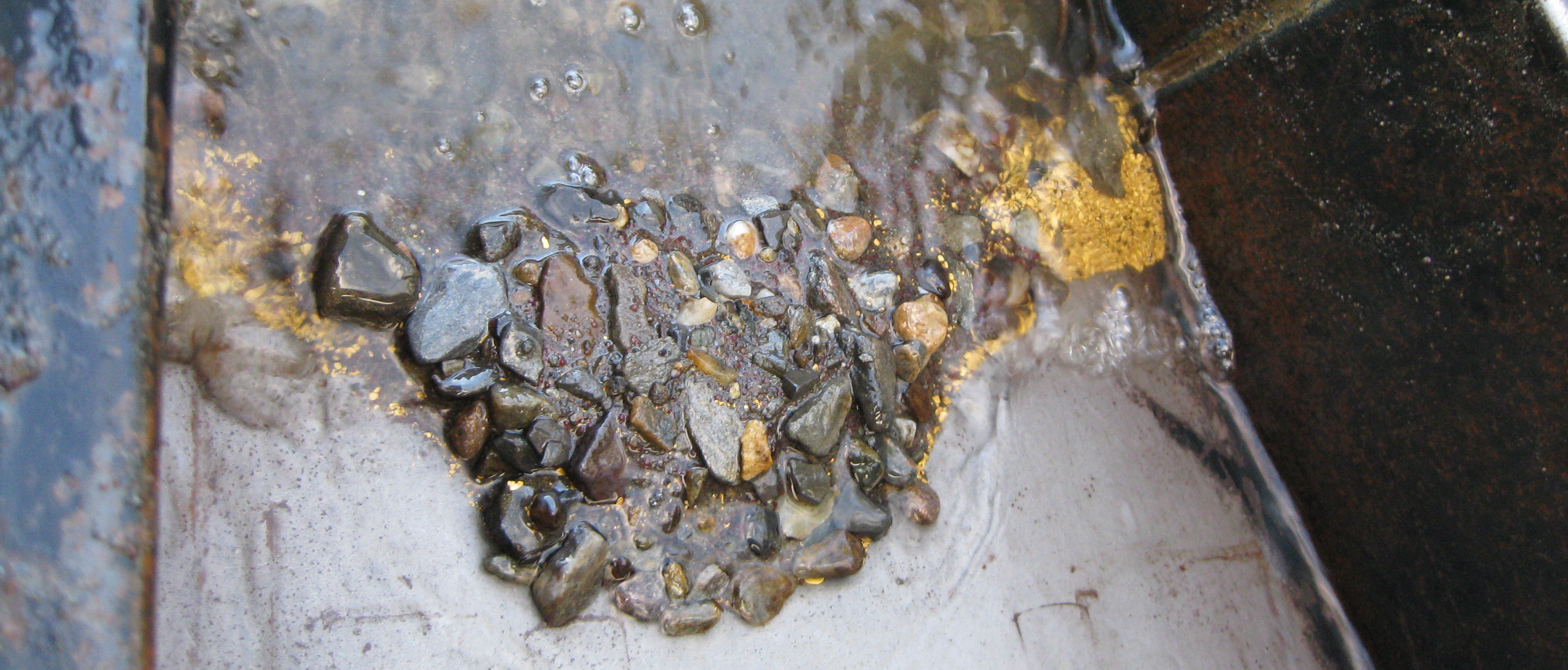
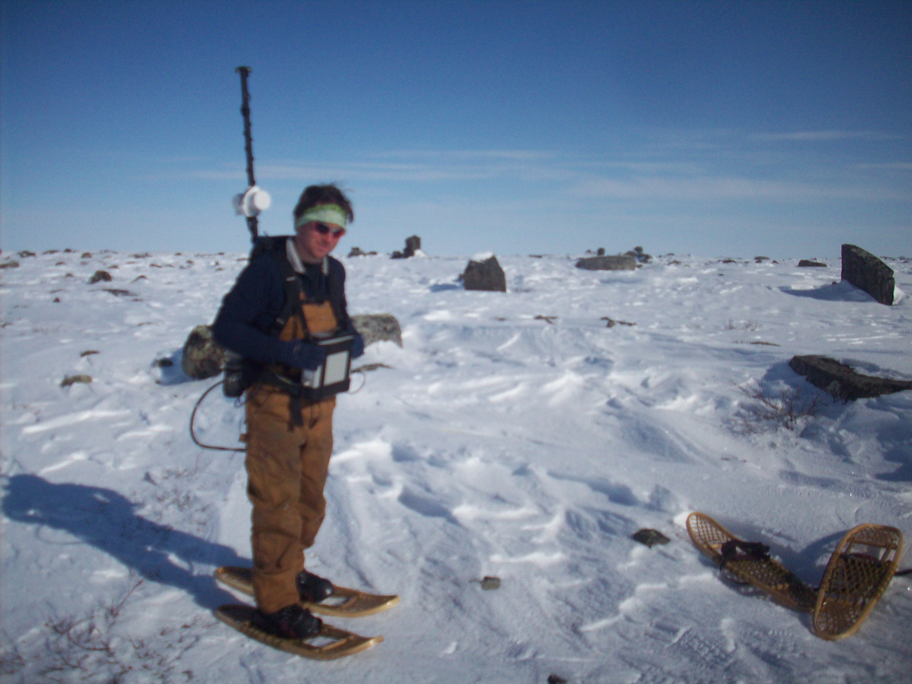
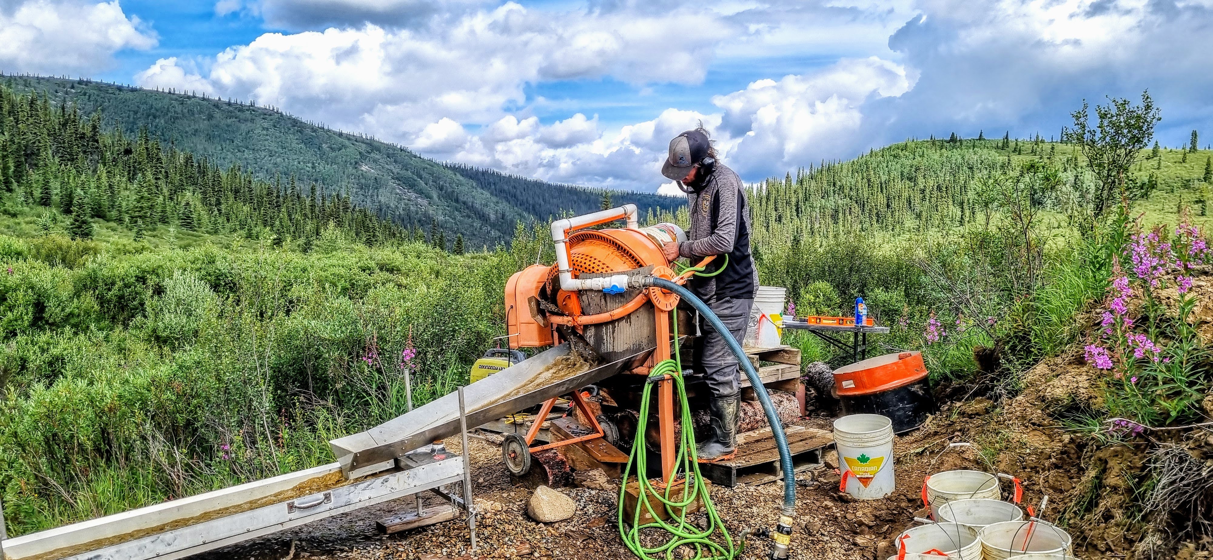
This is the big one. Sampling is hard, and you do not make money doing it. Everyone wants to see that juicy gold in their sluice box, but it takes time to get there. Gold is not easy to find, and you need enough confidence in your results before you start spending serious money.
There are plenty of stories about guys who got lucky. You are not going to be one of them. The only way to nudge the odds in your favour is to test rigorously. That includes systematic sampling, drilling, test pitting, geophysics, and bulk sampling. Two test pits are not enough, 10 test pits are not enough. Proper sampling leaves nothing to chance.
A lot of miners skip this step due to a mix of the factors above, financial pressure from investors or partners, over confidence, legends from old timers, and so on. Sampling is an investment in your future. The real skill is finding ways to manage risk while keeping some of your powder dry. It is very hard to over sample, so do not worry about that. The more information you can gather about your deposit, the better.
7. Magic Devices and sketchy data
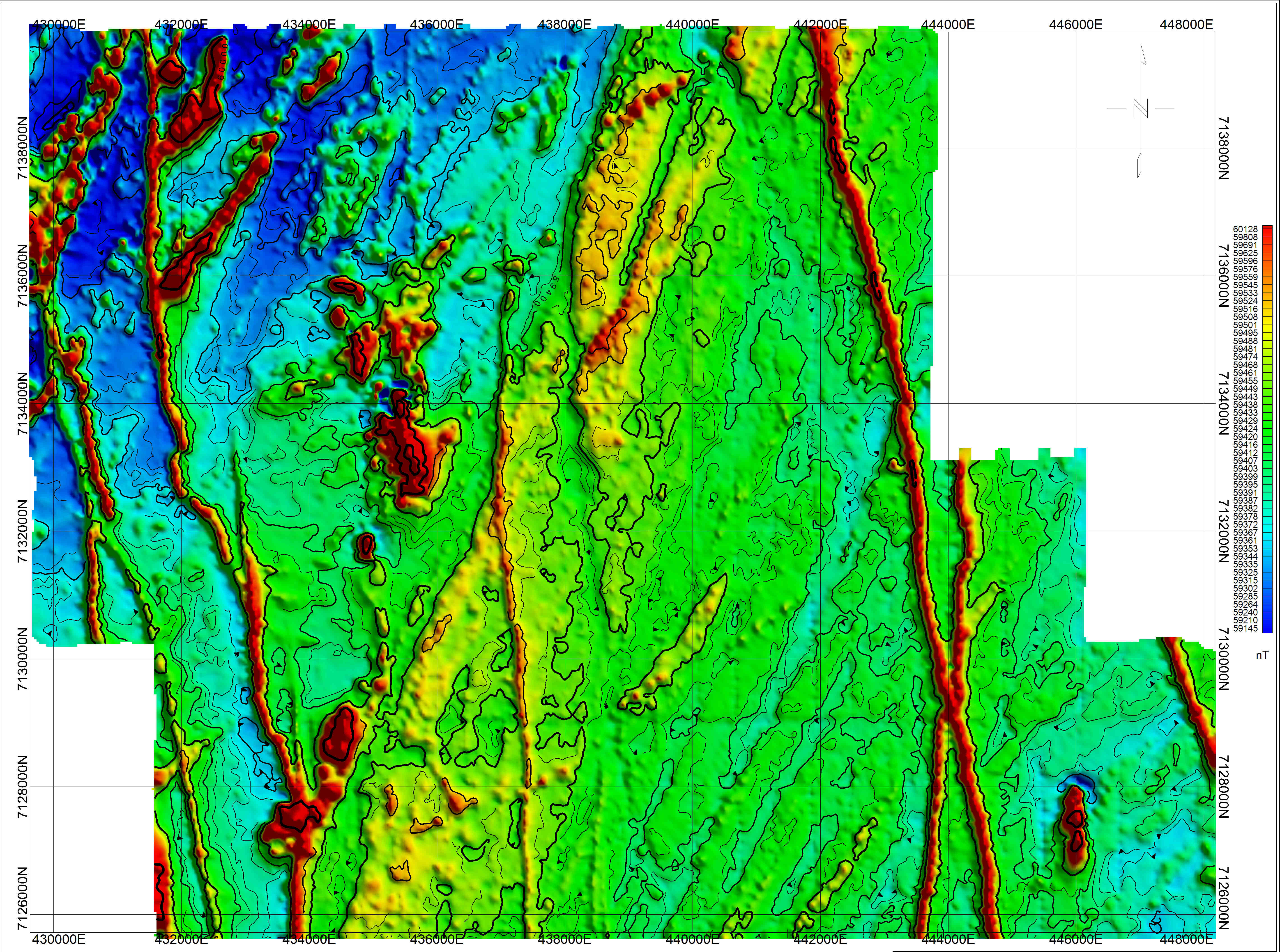
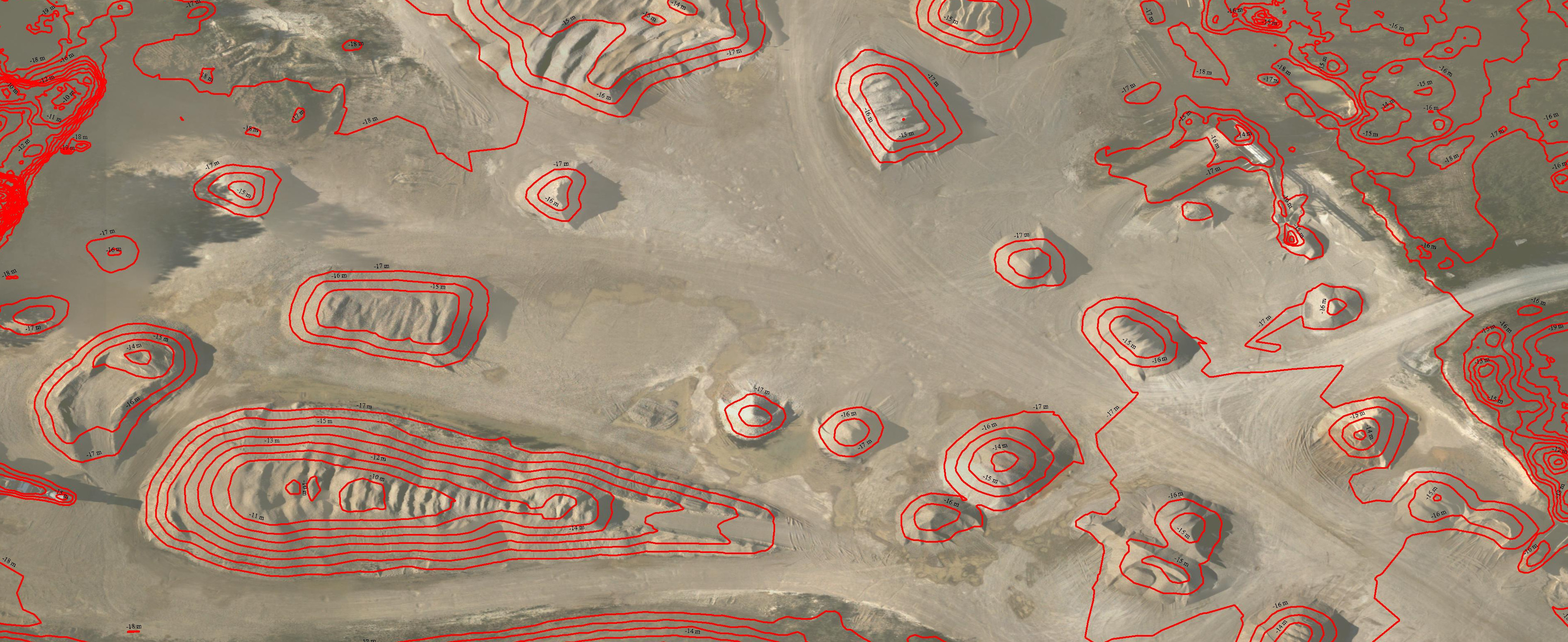
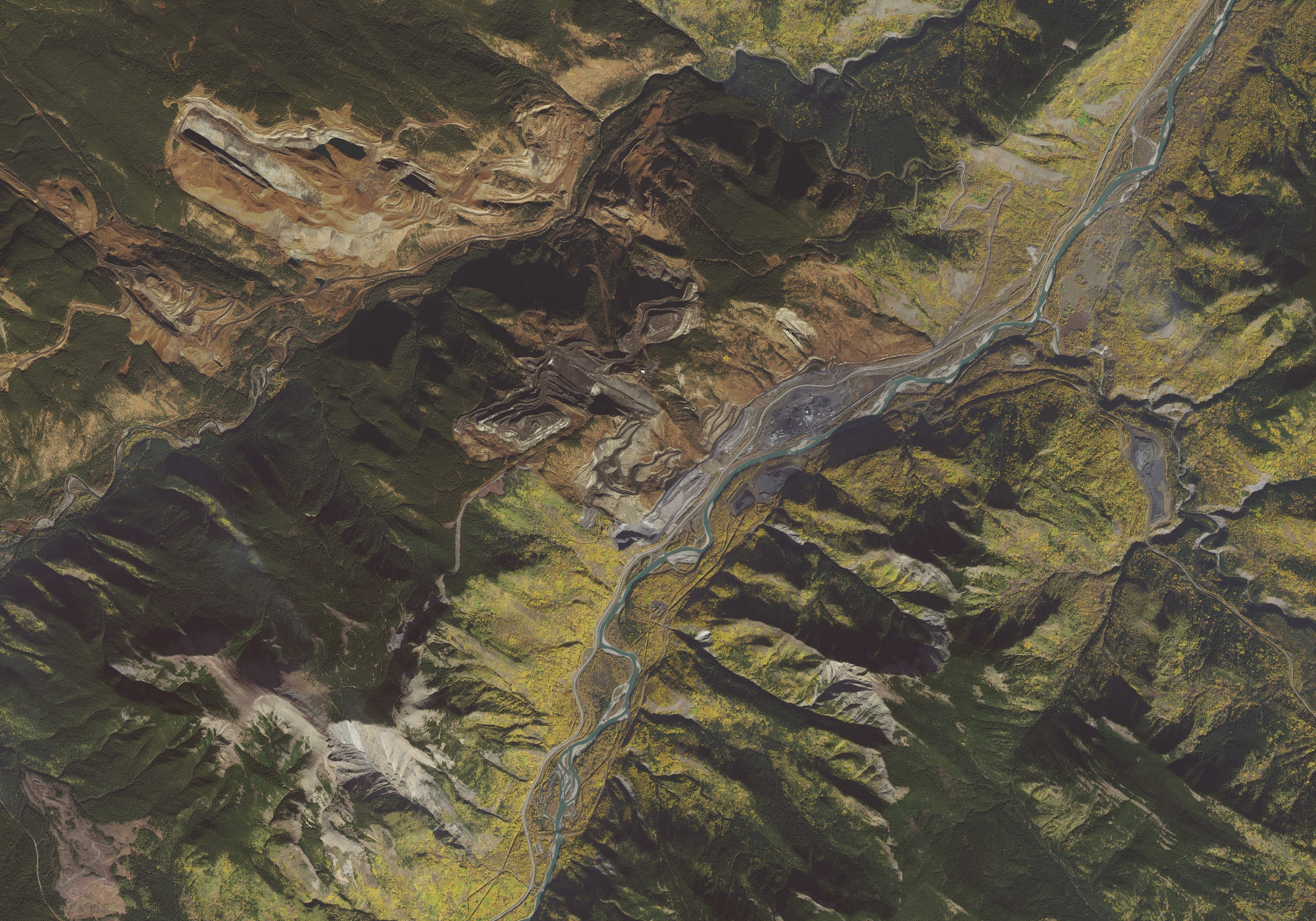
We have worked with placer prospectors who have bet the farm on sketchy information. This often comes from a misunderstanding or misinterpretation of free government data. There are many datasets available, including regional geophysics, generalized glacial maps, airborne surveys, and broad geological summaries. These tools have value, but they do not tell you where placer gold is sitting. Some prospectors look at an aerial magnetometer anomaly or a colorful regional map and convince themselves they have found a guaranteed pay streak. That is not how this works.
Regional geophysics shows trends in bedrock, not placer gold in the gravels above it. Glacial movement maps are broad summaries and cannot tell you where pay has actually settled. None of these datasets replace sampling, drilling, or real ground truth. They can sometimes guide your thinking, but they cannot confirm a deposit.
Do not fool yourself into believing you have a slam dunk based on a pretty map or a bright anomaly. There is nothing that exists with today’s technology that can detect placer gold at scale. Anyone who claims otherwise is selling something. The only way to know what is in the ground is to dig, sample, and test. That is where the real answers come from.
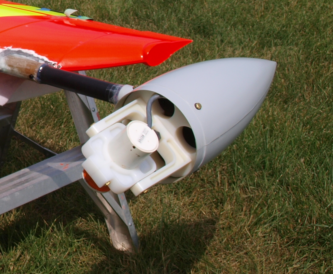
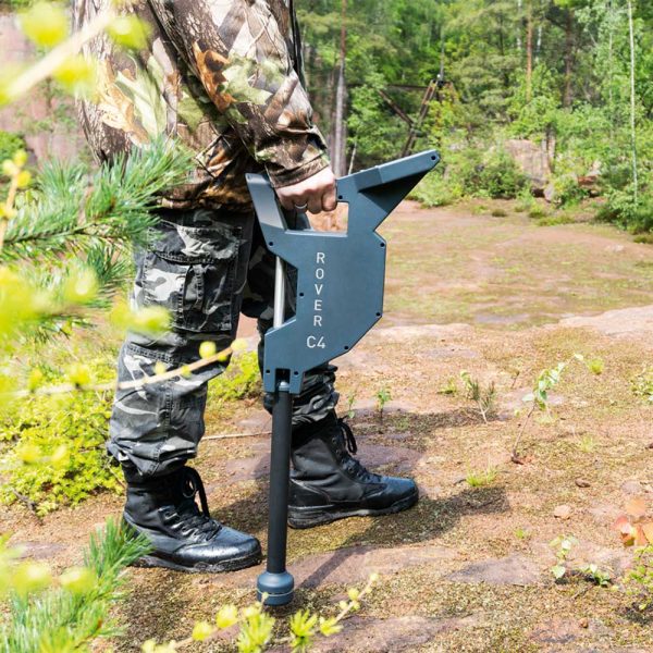
Some miners resort to magic devices that claim to detect economical gold. There are plenty of scam products on the market. One example is the OKM Rover C4. This is a fake device. It is a complete scam with several fake sensors inside an elaborate housing. There are other devices that claim to detect gold at a distance, and some claim to be enhanced dowsing tools, often called Long Range Locators or LRLs. Every single one of these is fake. Here’s a website that goes into detail about some of these devices: geotech1.com.
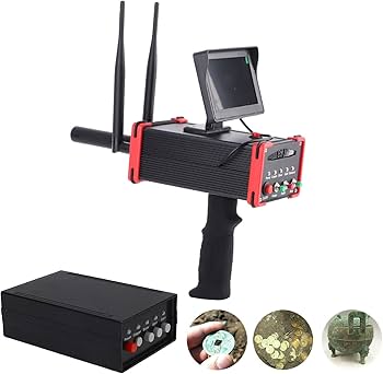
It can get confusing because some equipment actually does work. Legitimate metal detectors are real tools. They can find nuggets under the right conditions. There are physical limits though. Even the best detectors can only reach a depth of about 8 inches on gold, and none of them can detect fine gold in gravels. If a device claims to locate gold from long distances, through the air, or without real physics behind it, it is not legitimate.
There are companies that claim they can locate placer deposits via satellite. Unfortunately there seem to be more scams today than ever. There are plenty of charlatans out there, don’t fall for it.
It is certainly possible that new technologies will be developed that will enhance our abilities of locating economical placer deposits. Once they are developed and vetted they could be game changing but you probably won’t find them on Alibaba.
Each of the shortcuts in this article comes from real situations we have seen firsthand. Every one of them has cost miners millions of dollars, and in some cases far more. The lesson that ties all of this together is simple. Take a systematic approach, follow the data, and stick to your plan.
People understand this in most areas of life, yet for some reason placer mining seems to make that discipline disappear. For example you do not see parents reaching for a scalpel the moment their child has a stomach ache. They run tests, gather information, and make informed decisions. Placer mining is no different. Keep the scalpel in the drawer and do the proper testing. With patience, a plan, and real data, you will set yourself up for success.