
Drone mapping for mines and exploration
Current aerial maps built around the work on the ground.
WCP uses drone photography and photogrammetry to create current, high-resolution maps and terrain products for claims, mines, stockpiles, access planning and field documentation. The scope is matched to the area, terrain, required accuracy and final use.
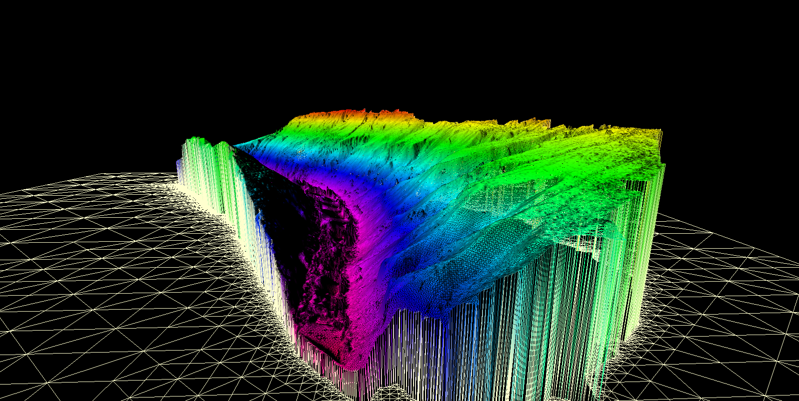
Built around the decision
Choose the deliverable before planning the flight.
A useful drone survey starts with the decision the data must support. We confirm the area, ground control, accuracy needs, airspace, weather and output format before mobilizing.
How the work moves
A clear path from the first question to the final record.
- 01
Define the area
Confirm boundaries, purpose, accuracy and required files.
- 02
Plan and fly
Prepare a safe, compliant flight plan and collect overlapping imagery.
- 03
Process the model
Build the orthomosaic and agreed terrain or 3D products.
- 04
Deliver usable files
Provide maps and digital outputs in formats suited to the project team.
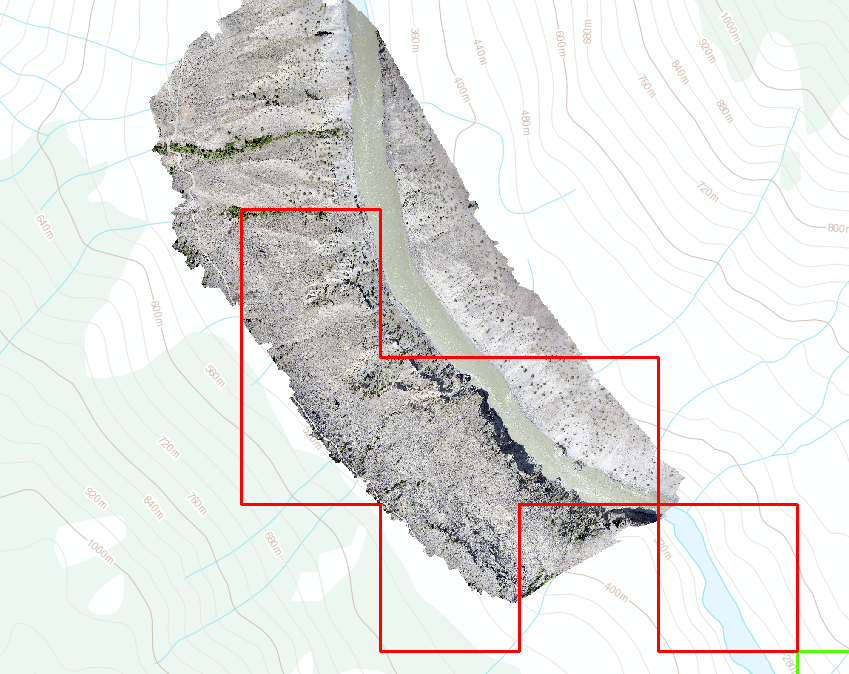
Typical deliverables
What you receive.
- High-resolution orthomosaics
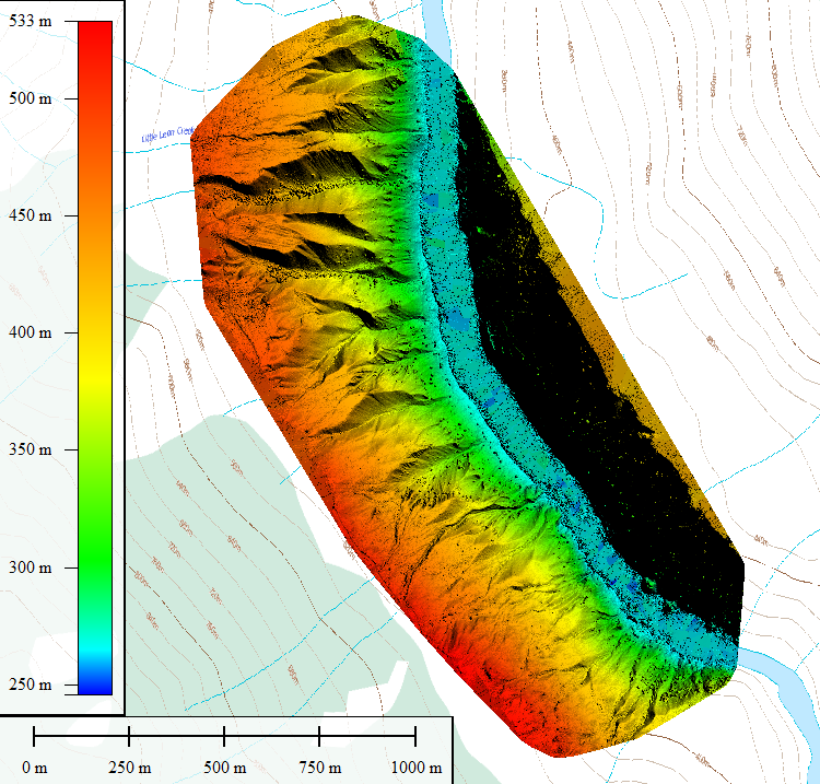
- Digital elevation and surface models
- Contours and terrain maps
- 3D point clouds and models
- Current site photography
- GIS-compatible deliverables
Common questions
Before the work begins.
Is drone mapping the same as LiDAR?
No. Photogrammetry models visible surfaces and generally does not see through vegetation the way airborne LiDAR can.
What affects accuracy?
Flight height, camera, overlap, ground control, terrain, vegetation and weather all affect the result.
Can you map an active mine or remote claim?
Yes, subject to access, airspace, safety, weather and the practical limits of the site.