Permits and Tenure Management

West Coast Placer offers a range of tenure management solutions. Including NOW permit applications, archeological studies, physical and technical assessment reports, consultation and full-scale exploration programs.
With us in your corner you have experience behind you. We know how to maximize your exploration dollars to give the highest chance of discovery. Unlike other agents in the industry we are claim owners ourselves, we know what you need because we need the same things.
West Coast Placer is a qualified agent for mine permitting with Front Counter BC. We have extensive experience working with mines inspectors in each mines office across British Columbia, including Kamloops, Prince George, Smithers, Cranbrook, and Victoria. We are adept at preparing NOW applications for various activities, including drilling, test pits, enhanced sniping, full-scale mining, and customized applications.
Our team is proficient in filing NOW applications, water licenses, amendments, and handling interactions with government officials and First Nations. We produce professional GIS maps, Emergency Response Plans (MERP), archaeological documentation, and all other requirements for permitting in BC. We work closely with government officials to secure the best outcomes for our clients.
Additionally, we have extensive experience with First Nations consultation and know how to achieve the best results for our clients. The BC placer permitting process can be complex and unclear. Let West Coast Placer help you navigate through these challenges. We assist you through the entire lifecycle of mine permitting, from early-stage exploration to full-scale mining. Get in touch, and we’ll help you reach the finish line.
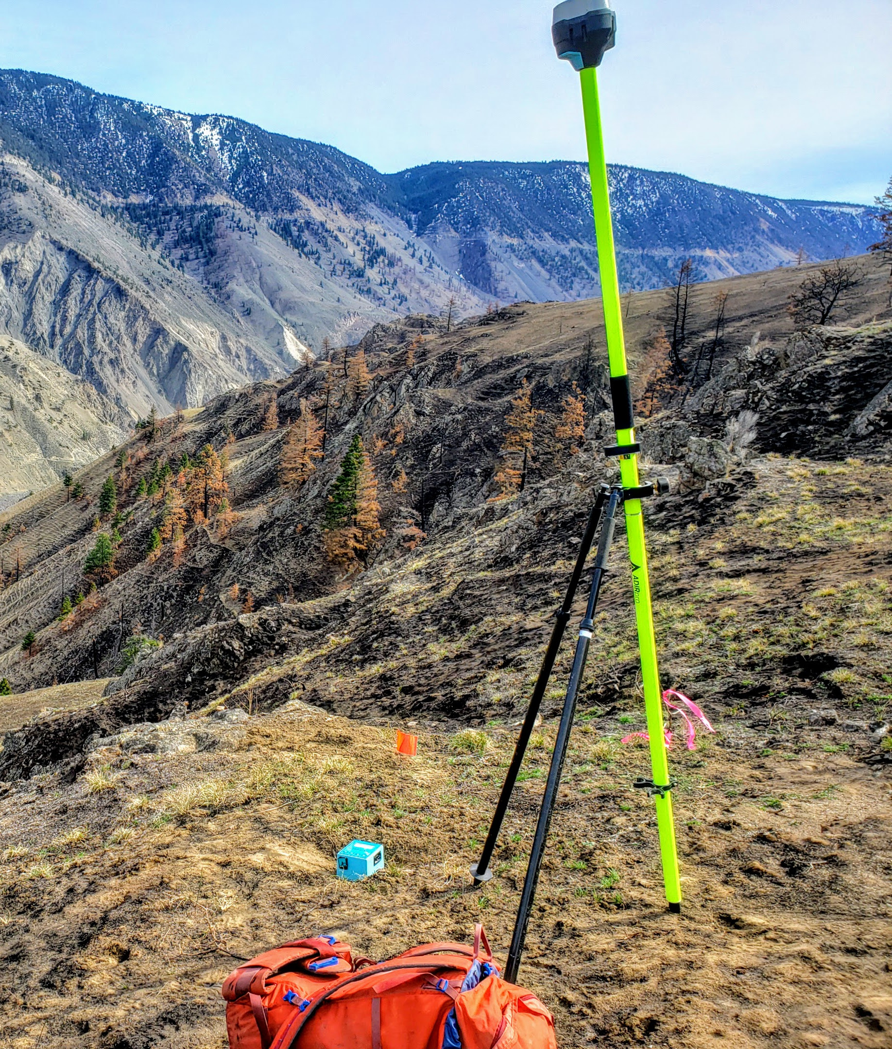
West Coast Placer specializes in facilitating the Notice of Work (NOW) permit process for miners in British Columbia through targeted archaeological assessments and studies. Our primary goal is to streamline the path for mining and exploration projects, ensuring compliance with provincial regulations regarding archaeological sites.
Our services are designed with the mining industry in mind, leveraging the expertise of our on-staff professional archaeologist to conduct necessary assessments efficiently and effectively.
Archaeological Overview Assessments (AOAs)
AOAs serve as a preliminary step, utilizing desktop analysis to evaluate the archaeological potential of a given area based on existing data. This approach helps in planning and mitigating potential impacts on undiscovered archaeological sites, streamlining the permit process.
Preliminary Field Reconnaissance (PFRs)
PFR studies involve a field evaluation to further assess the archaeological potential of the project area. These studies are carried out in accordance with best practices, ensuring thorough documentation and reporting of findings.
Archaeological Impact Assessments (AIAs)
When deeper investigation is necessary, AIAs are conducted under permit to include subsurface investigations and, if needed, artifact collection. This level of assessment is crucial for detailed understanding and mitigation planning, supporting the advancement of the mining project within regulatory frameworks.
West Coast Placer is committed to assisting the mining industry in British Columbia by providing essential archaeological assessment services. Our focus is on enabling mining projects to proceed smoothly by addressing archaeological considerations efficiently, thereby supporting the project’s compliance with provincial regulations.
For further information on how our services can assist with your mining project, please contact us.

The assessment report process can be overwhelming. Our qualified agents know how to get the most credit out of a report. We do every step of the process for you from report writing to final submission.
We do everything in house, professional GIS access and claim maps, cost statements, historical research, detailed reporting and everything that is required for a complete assessment report. We can provide 43-101 compliant reports and work with clients of all sizes, from solo prospectors to publicly listed companies.
Whether you need a basic report for simple hand work on your claim or for a full-scale drill or mining program we have you covered. Contact us and we’ll walk you though the process.
We have the experience to tackle the most complex and challenging projects. We can advise you on how to approach your exploration program from the initial steps to fully measuring your pay gravels.
Drilling is expensive. Don’t waste your money on drilling that won’t get results. We’ll help you get the most out of your drill program with proper planning, accurate drill logs and GPS mapping. Instead of learning the hard way, you can benefit from our experience.
Sampling is backbone of placer exploration. Proper sampling will determine if your project succeeds or fails. We have a foolproof and verifiable technique that gets accurate results every time. We don’t guess, our technique will accurately measure your pay gravels and correctly document and map the results.
Don’t you wish you had x-ray vision to see though the overburden? Our system can map the overburden depth and topography of the bedrock on your claim. We specialize in finding tertiary river channels. More info on our system here: bedrock profiling.
Our techniques are fully repeatable and do not rely on guesswork.
Don’t get caught off guard. We offer claim protection services to make sure you file your assessment reports before your claim expires. We also deal with private property holders, logging companies, pipeline companies and other land holders to make sure you have access to your claim.
Contact us to take your placer project to the next level.