UAV Applications in Mining

UAV Applications in Mining

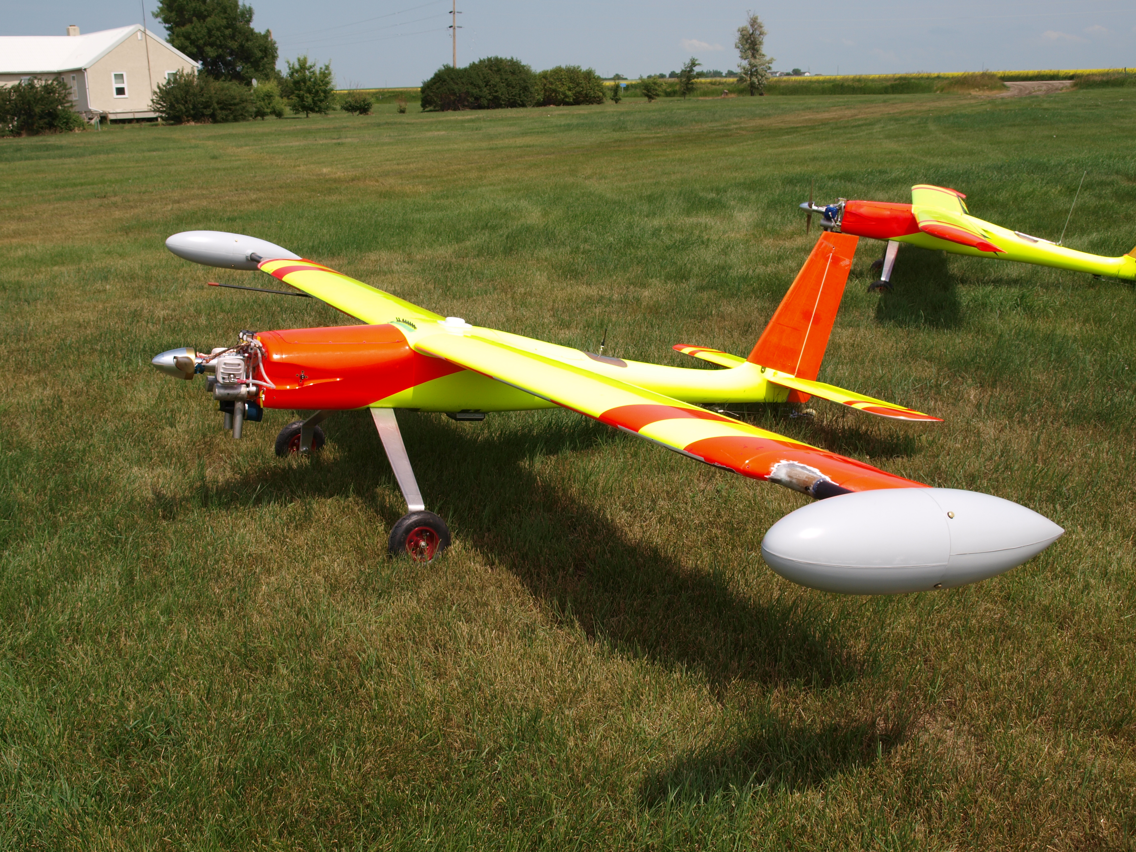
Unmanned Aerial Vehicles (UAVs) are in the process of changing many industries.  Before UAV technology matured into a safe, reliable and low cost system aerial data was acquired by full size human piloted aircraft and was very expensive.  With today’s drones aerial data is cheaper, quicker and more creative than ever before.

droneMining

The mining industry stands to benefit greatly from new advances in aerial data acquisition.  In many cases drones are already being used in mining and in the coming years will be almost ubiquitous.

Drones offer huge advantages in every part of the mining life cycle including Exploration, Planning/Permitting, Mining Operations and Reclamation.

Exploration

DroneBanner

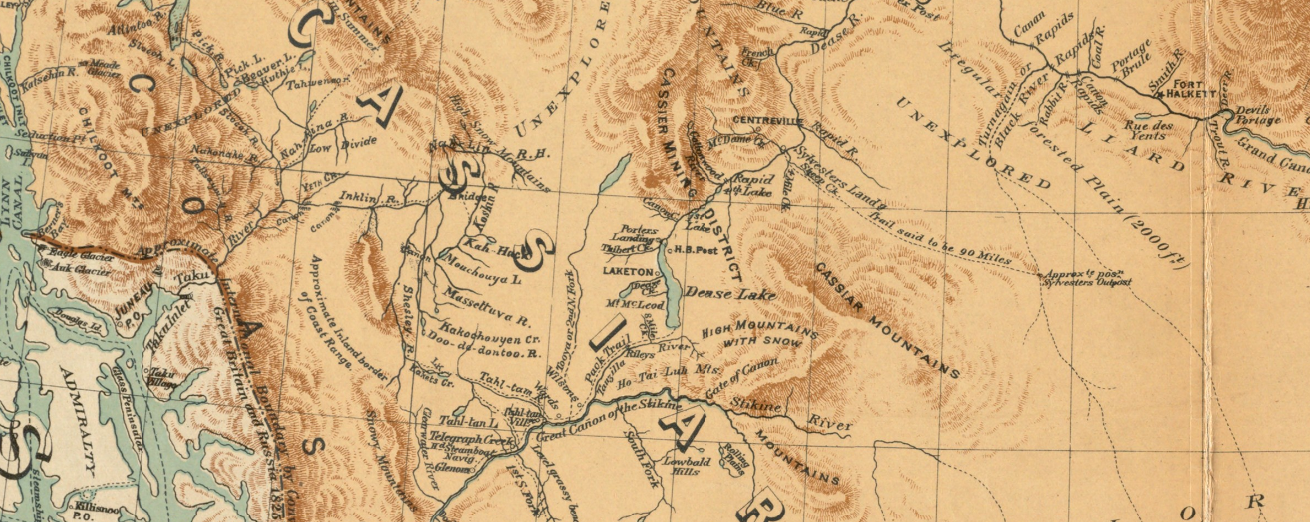
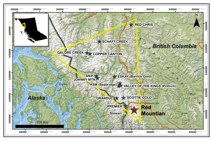
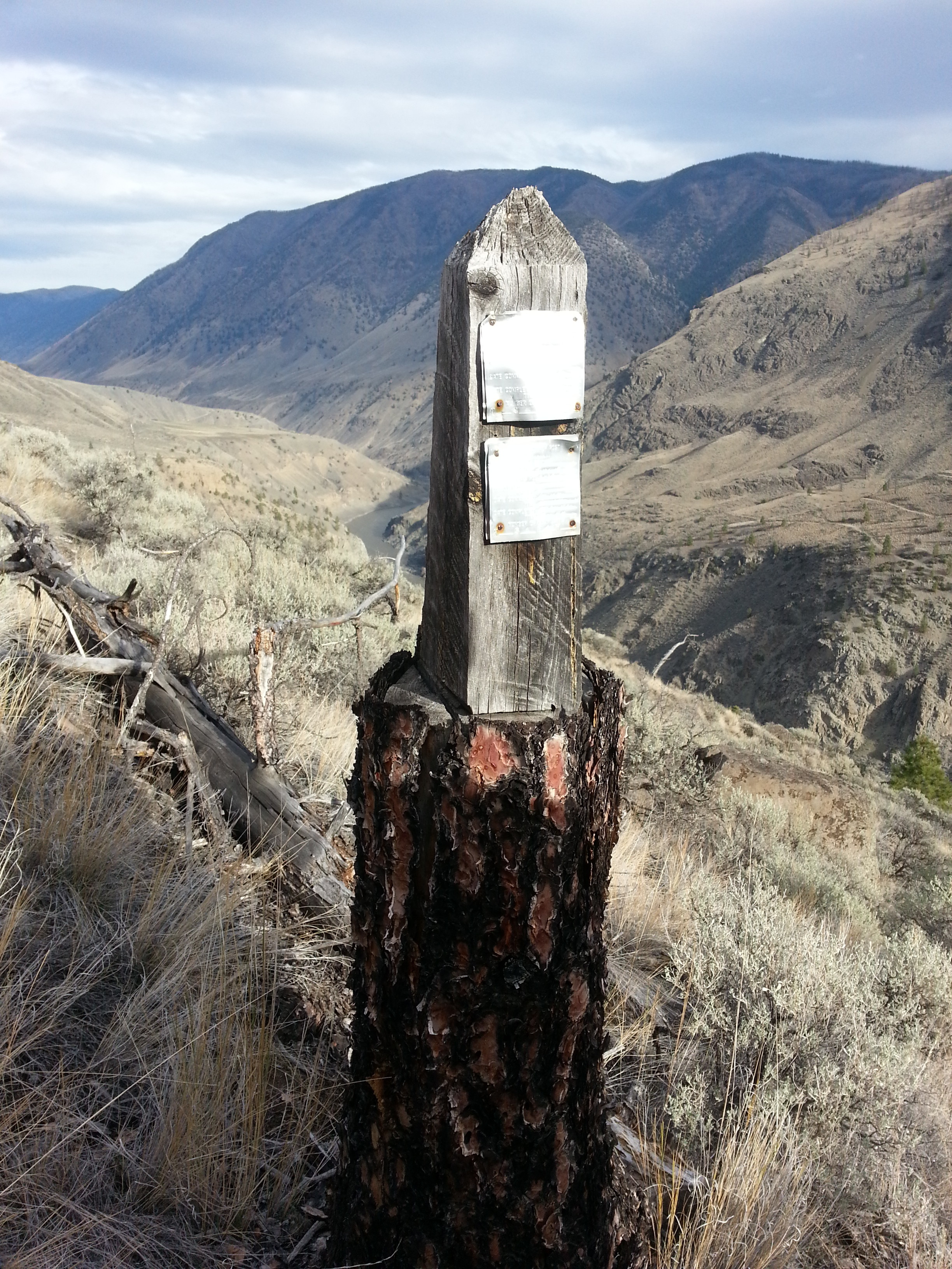
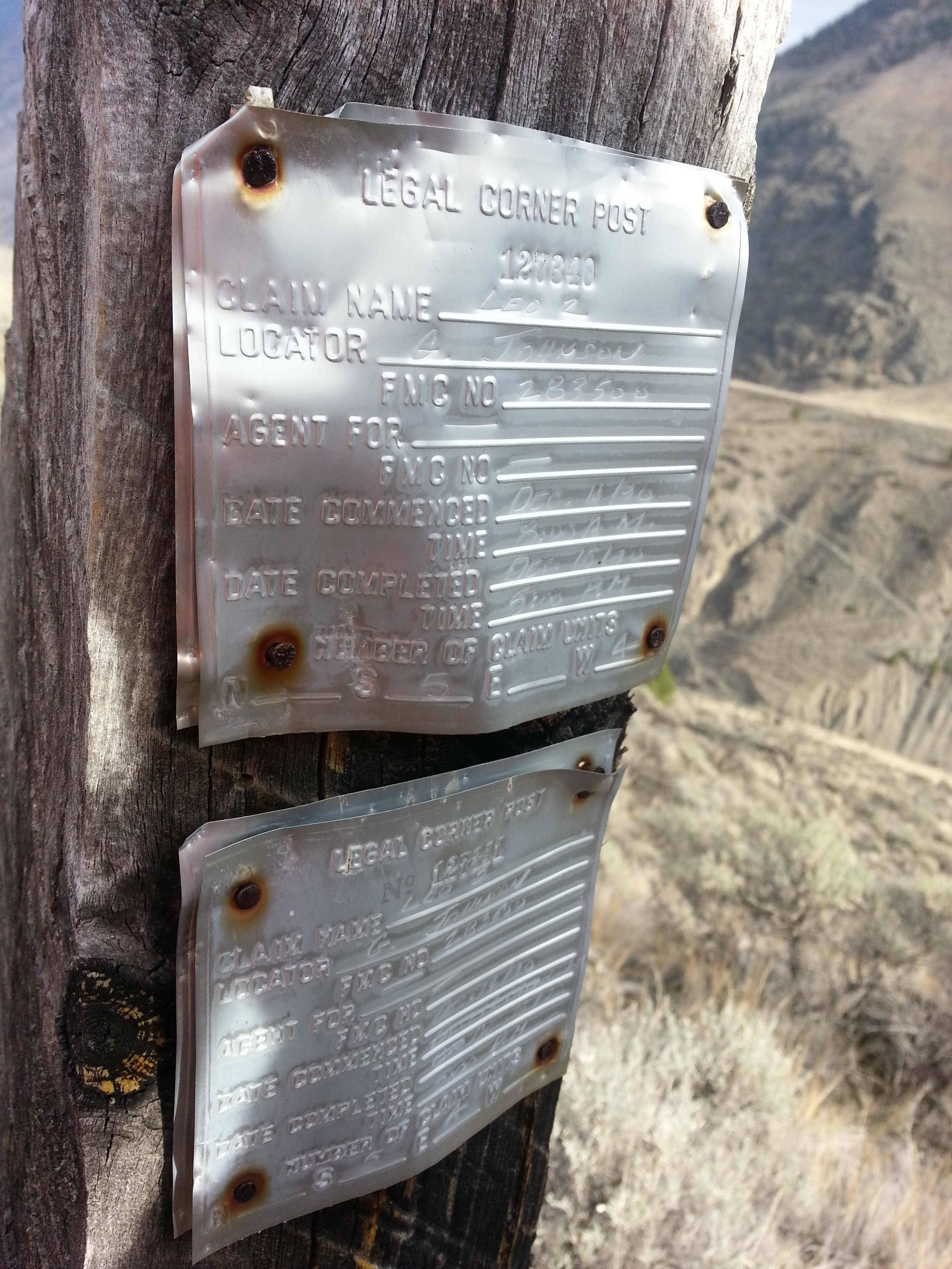
Mineral properties are often in remote areas where existing maps are either non-existent or of poor resolution.  In early stage exploration it is beneficial to have a quick overview of the prospect area.  In the past this would have been acquired by a conventional aerial photography company.  This would come with a large price tag.  As a result aerial mapping surveys would not be conducted until later stages of exploration.

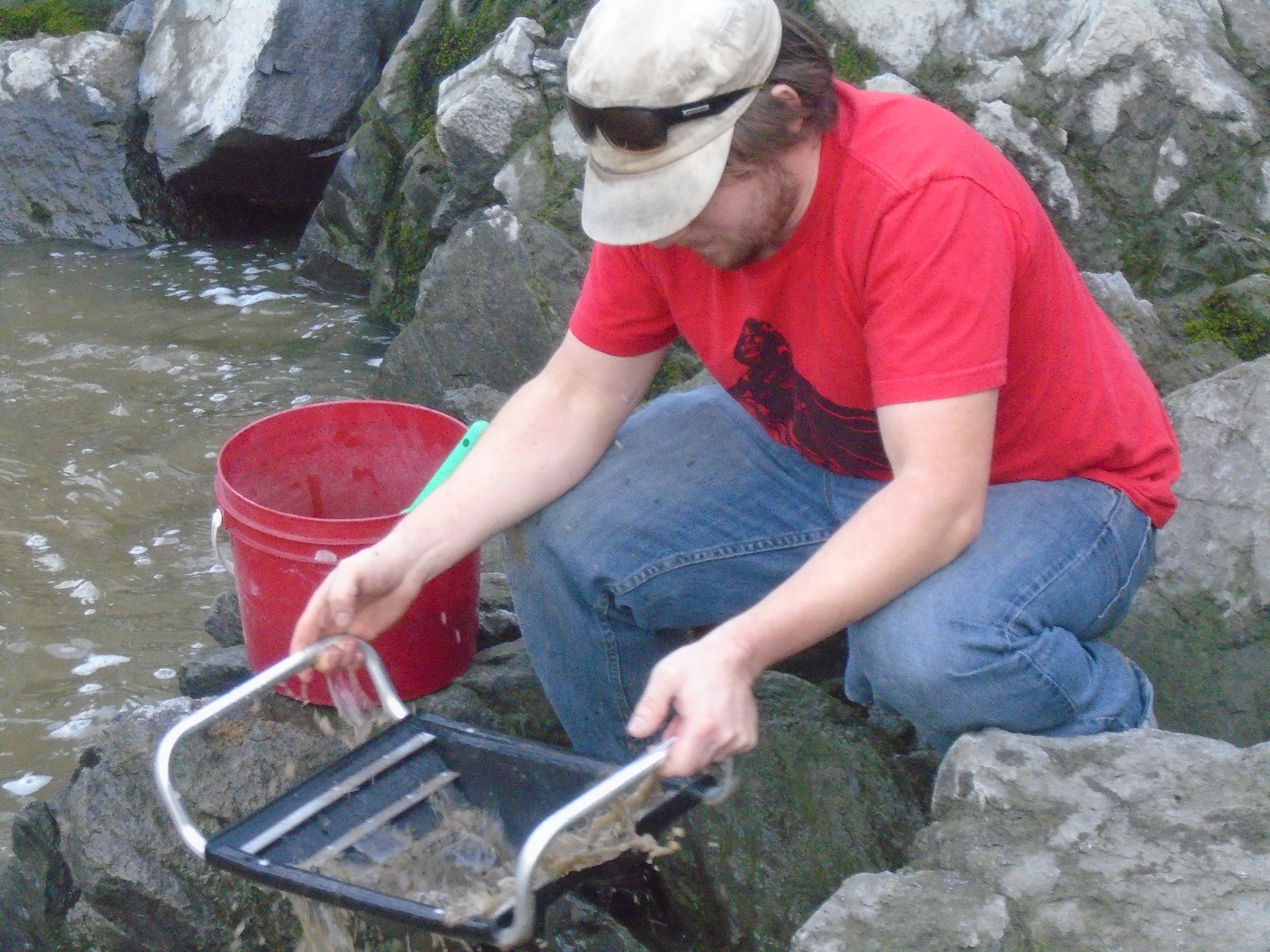
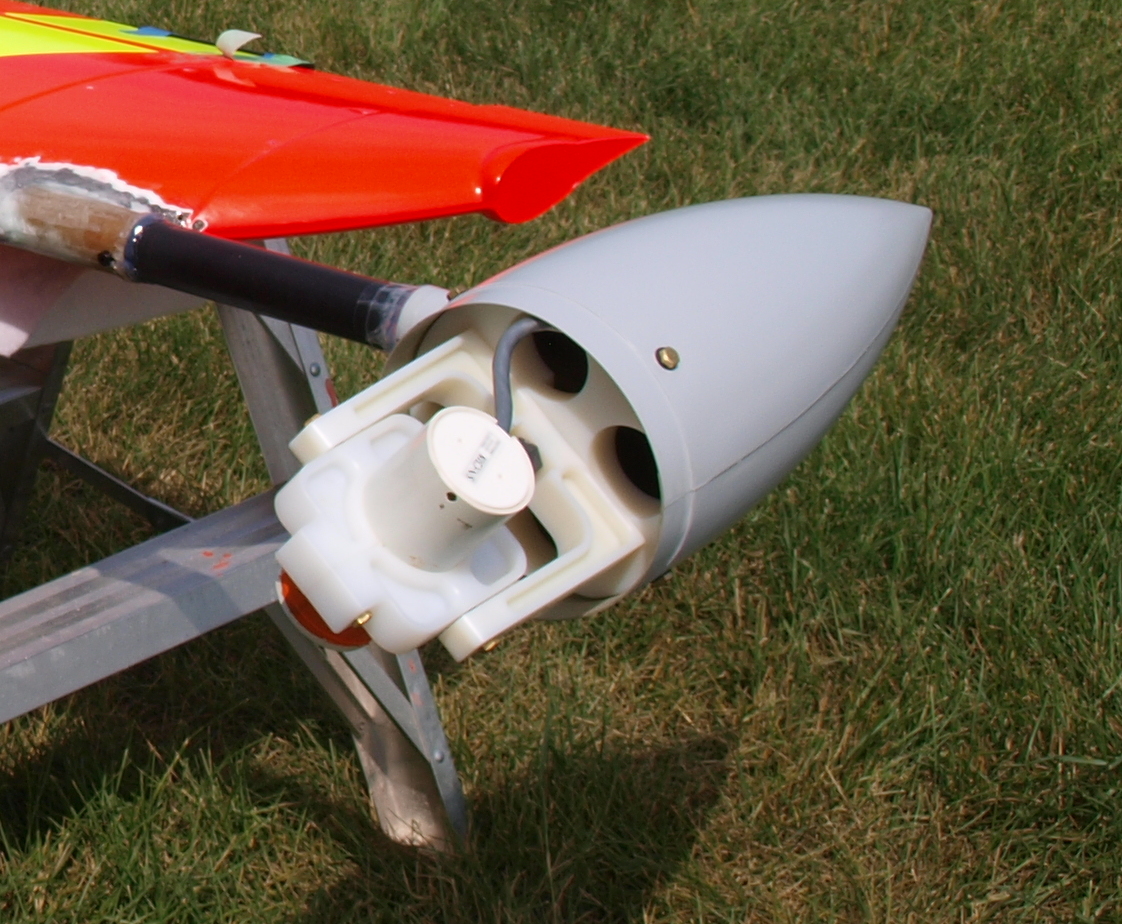
Today a drone can do a better job for less money.  Drones can map an area in high resolution in less than a day, usually a couple of hours.  The cameras on today’s drones have benefited from advancements in small high resolution sensors. Miniaturization of other components such as GPS and computer boards has also contributed to the modern drone.  Due to the unmanned nature of a drone it can fly close to the ground which allows unparalleled image resolution.  Conventional aerial survey aircraft require camera’s with extremely high resolution (80mp and up) because they fly at elevations of 2000-5000 ft above the survey area.  Drones can fly at 250 ft with a 16mp camera and get better data.

Satellite imagery has come a long way as well but does not come close to the quality of drone data and the cost is still prohibitive.  The best satellite data today is provided by the WorldView-3 satellite at 31cm/px.  Drones can produce 4.0cm/px or better.  You can forget about Google Earth, their resolution is no better than 65cm/px.

Early stage exploration projects can now get a rapid aerial image mosaic produced by a drone for a couple thousand dollars.  Where a conventional aircraft would produce an inferior product for about ten times the cost.  This cost advantage allows imagery to be collected very early in the exploration process when it can be of the most benefit.

In addition to aerial imagery the same drone data can be used to produce accurate topographical maps and GIS data in remote areas.  Topo mapping was previously produced by ground surveyors with an RTK/GPS rover.  You would have to pay a survey crew to walk the entire property and collect GPS points to be used in a map.  Mapping drones can do this today without the need for any ground control points at all!

Strati.jpg.pagespeed.ce.51mTrkbnOw

The combination of low cost aerial imagery and terrain data allow modern explorers to have a close up view of any property in 3D.  Having this capability in early stage exploration aids significantly in project planning.  Drones can provide support for mineral exploration in the following areas:

  • Terrain Assessment
  • Geomorphology
  • Outcrop Detection
  • Wildlife and Environmental Assessment
  • Drill, Showing and Equipment Location
  • Up to date imagery of the property

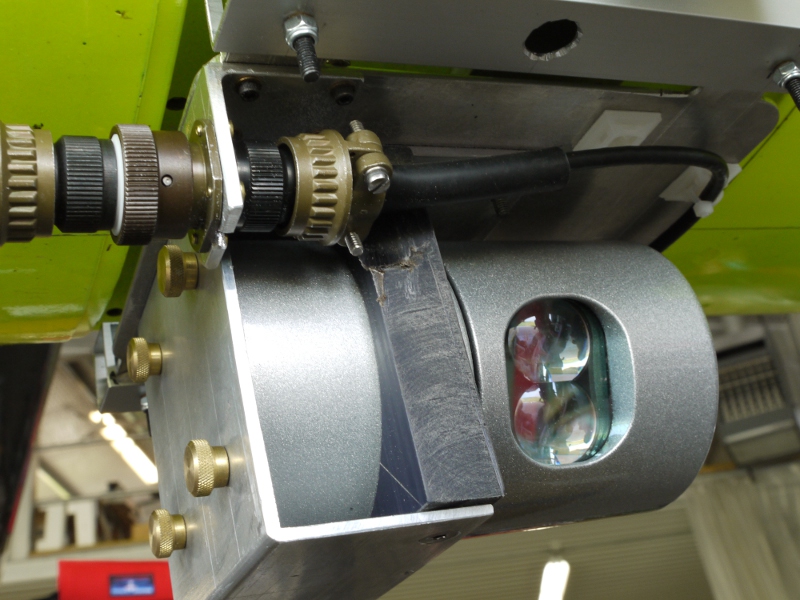
Remote sensing has huge applications in prospecting as well.  In the years to come sensors such as infrared, hyper/multispectral cameras and LiDAR will improve upon existing satellite based techniques to map underground river systems and directly identify mineral bearing outcrops.

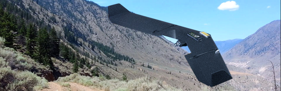
Aerial geophysics is making its way into drones too.  I was involved in the development of a large scale drone from 2011-2013 designed to conduct long range aerial magnetometer surveys.  It was a great advancement but sadly the company suffered from poor management.  A few other companies have developed magnetometer drones in recent years too.  Drone geophysics has the same advantages over conventional aircraft such as low acquisition cost and rapid deployment.

Venturer Geophysics Drone
Prototype Long Range Geophysics Drone in 2012

Planning/Permitting

In the development stage drones offer unparalleled advantages to mining companies.  One of the biggest hurdles in developing a mine is environmental permitting.  Low cost drone imagery can map a mining property in incredible detail.  Aerial photos allow mine planners to easily locate and map:

  • Trees/vegetation
  • Streams, Rivers and Lakes
  • Wildlife Counts
  • Existing Roads, infrastructure
  • Before/After Ground Disturbance

Having aerial photos of an area before mining takes place will give an honest account of what the land was like when it comes to reclamation.  Wildlife counts and mapping of the ecosystem are crucial in development of environmental impact assessments.

Prototype LiDAR on drone
Wing-tip magnetometer on a drone


Three dimensional mapping has been used in mine development for decades.  This data is relied on by mine planners to develop the mine itself, roads, tailings ponds, electrical infrastructure, and pretty much everything.  The main tool used is LiDAR which is a laser scanner that produces a high resolution 3D model.  Drones can produce the same data for less money.  LiDAR sensors are just starting to be installed on drones.  Photogrammetry can produce the same quality of model as LiDAR as well but cannot separate trees from ground as effectively.

Photogrammetry and LiDAR data are used for:

  • Mine pit development
  • Tailings pond design
  • Cost effective power line routes
  • Development of access roads
  • Geological Assessment

Mining Operations

Ore Pile Volumetrics

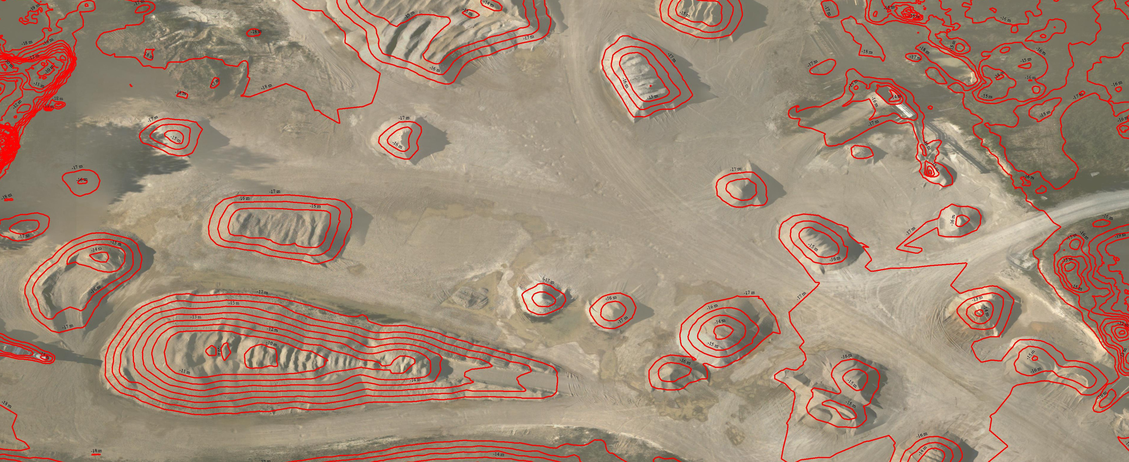
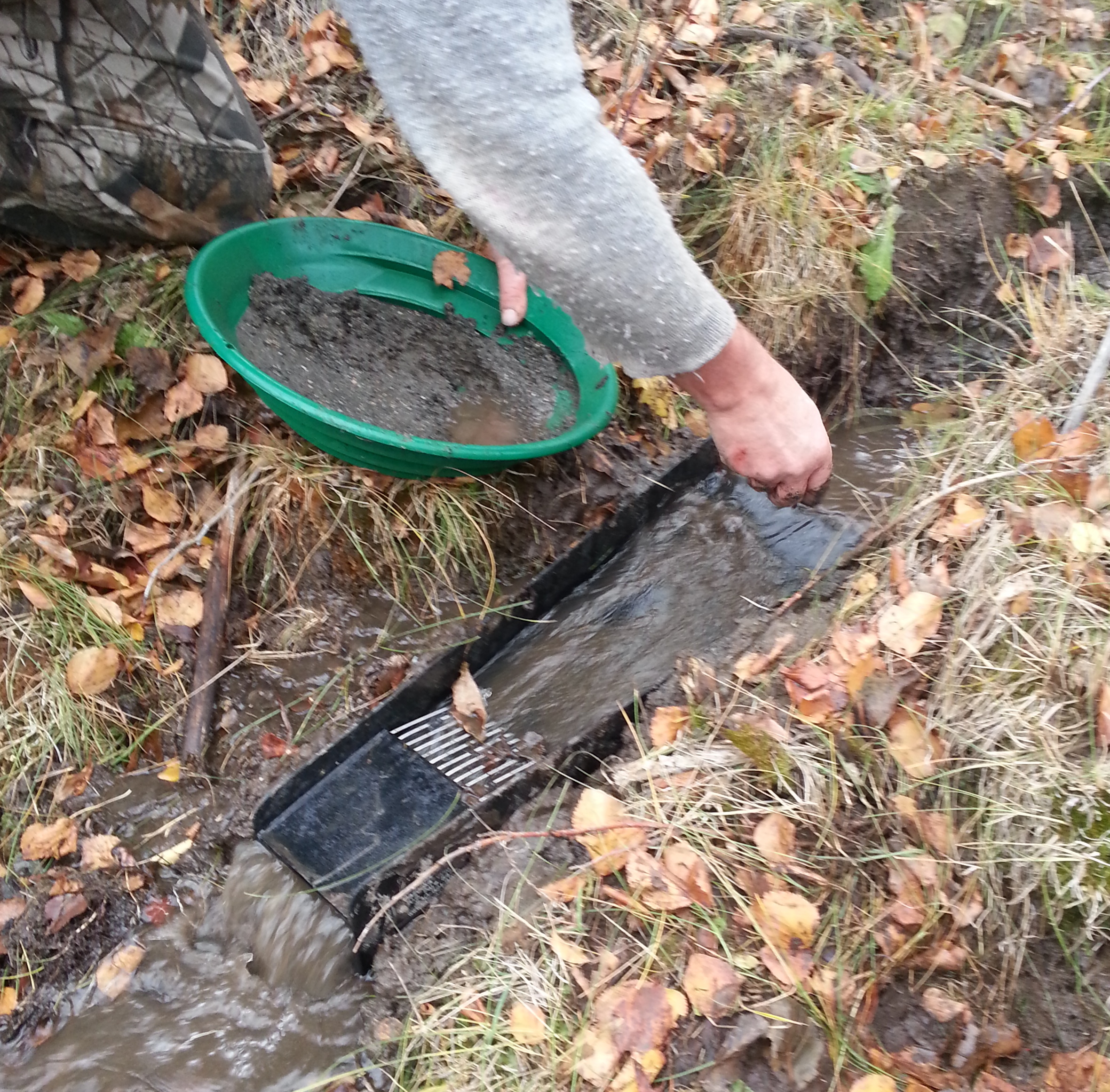
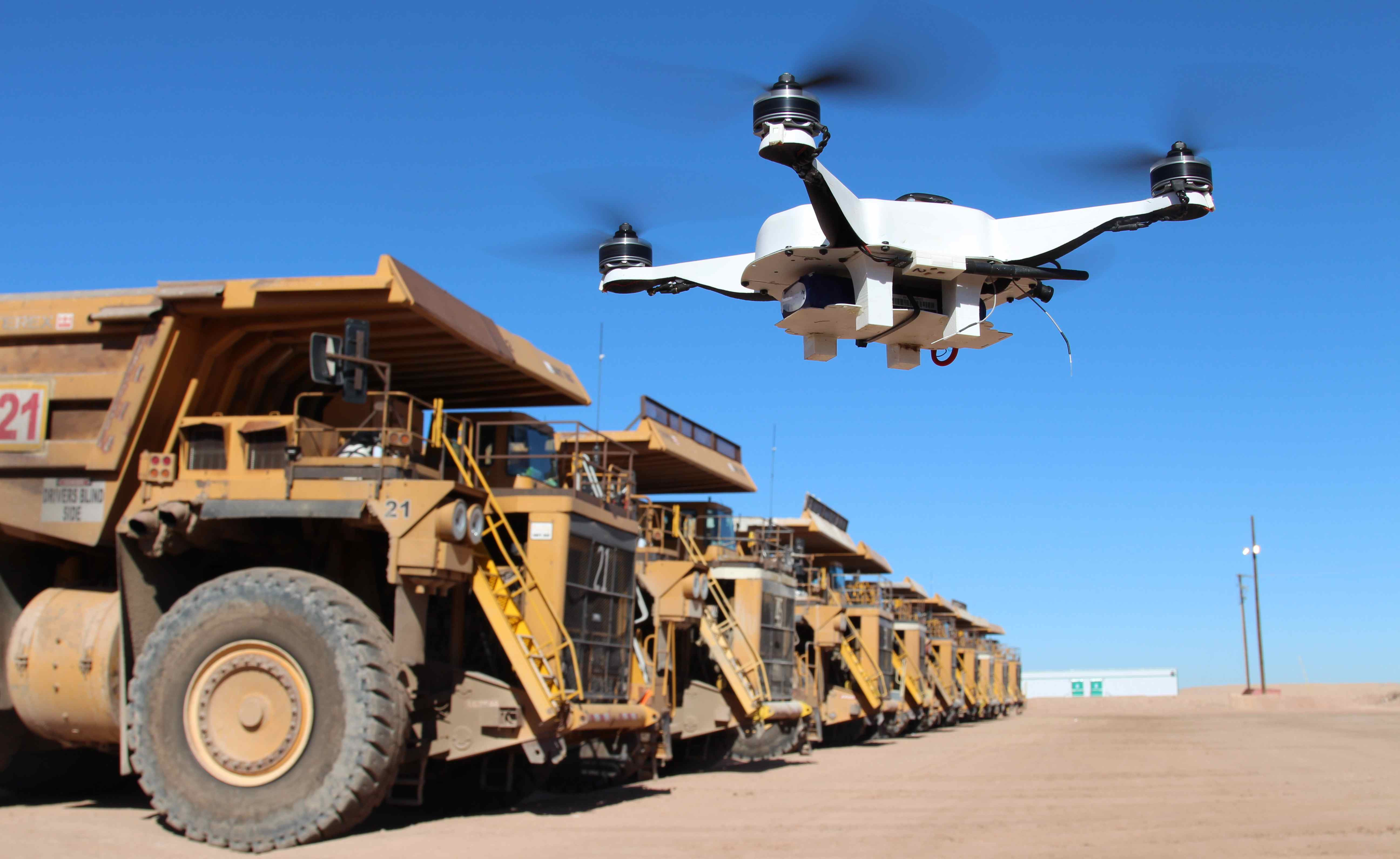
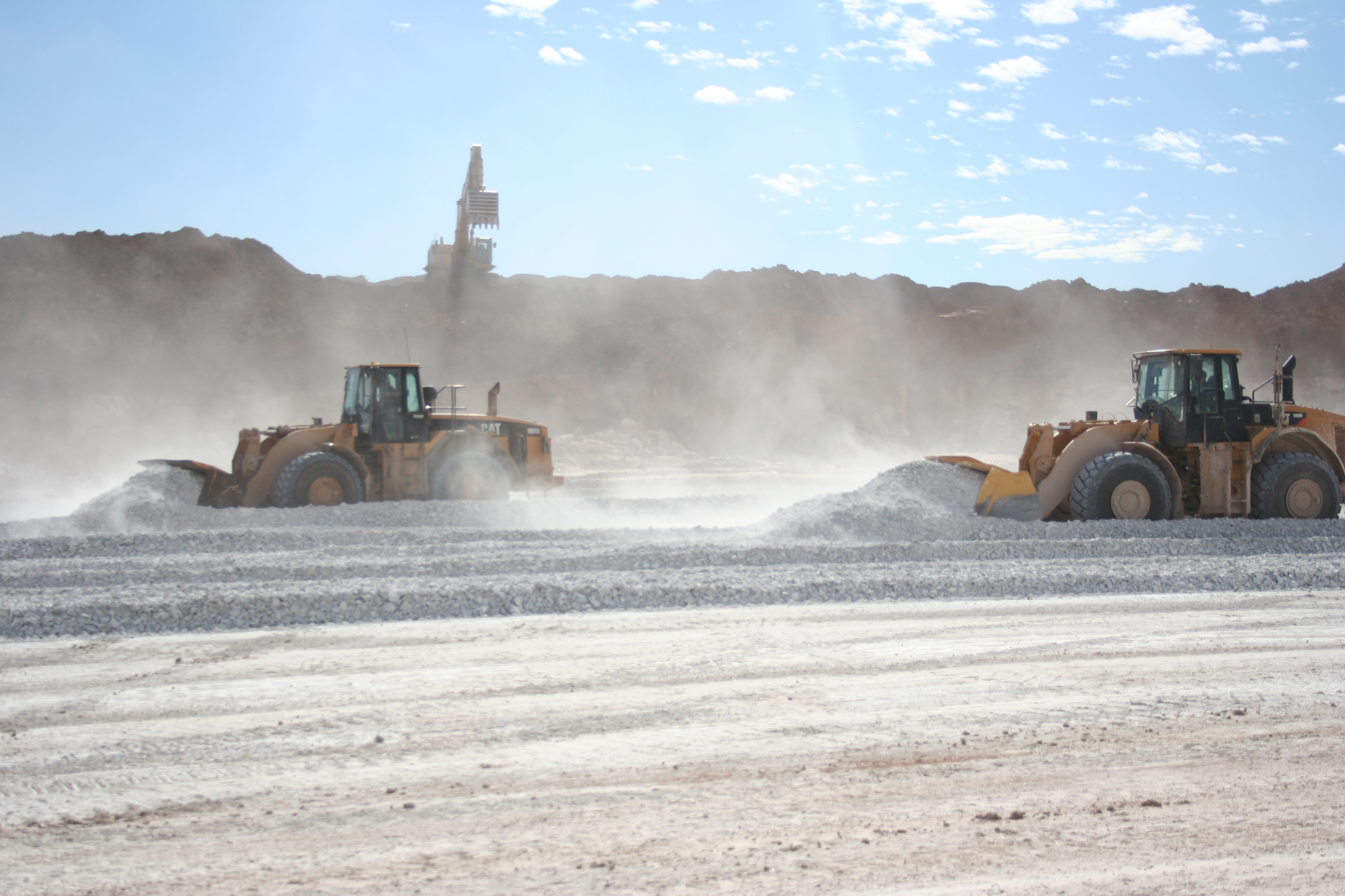
In the operation/mining phase drones have a lot to offer.  One of the most widely used applications of drones in mining today in in stockpile volumetrics.  That is the 3D volume calculation of pile of waste rock or ore piles.  Having volumetric surveys completed at regular intervals will give an accurate measurement of how much material has been moved in that time.  This is important for many reasons.  Historically stock pile measurements have been conducted by ground surveyors with GPS rovers.  Many mines are still operating this way today.  Drone can do the same job without the need to pay for survey crews or to put people in a potentially dangerous situation.

Drones can provide detailed modelling and imagery of pit walls and slope stability.  Fixed-wing and multirotor inspection drones can get a close up, detailed image of potential points of failure in a pit wall.  Smaller multirotor drones are starting to be used to map underground mines too, offering the same advantages.

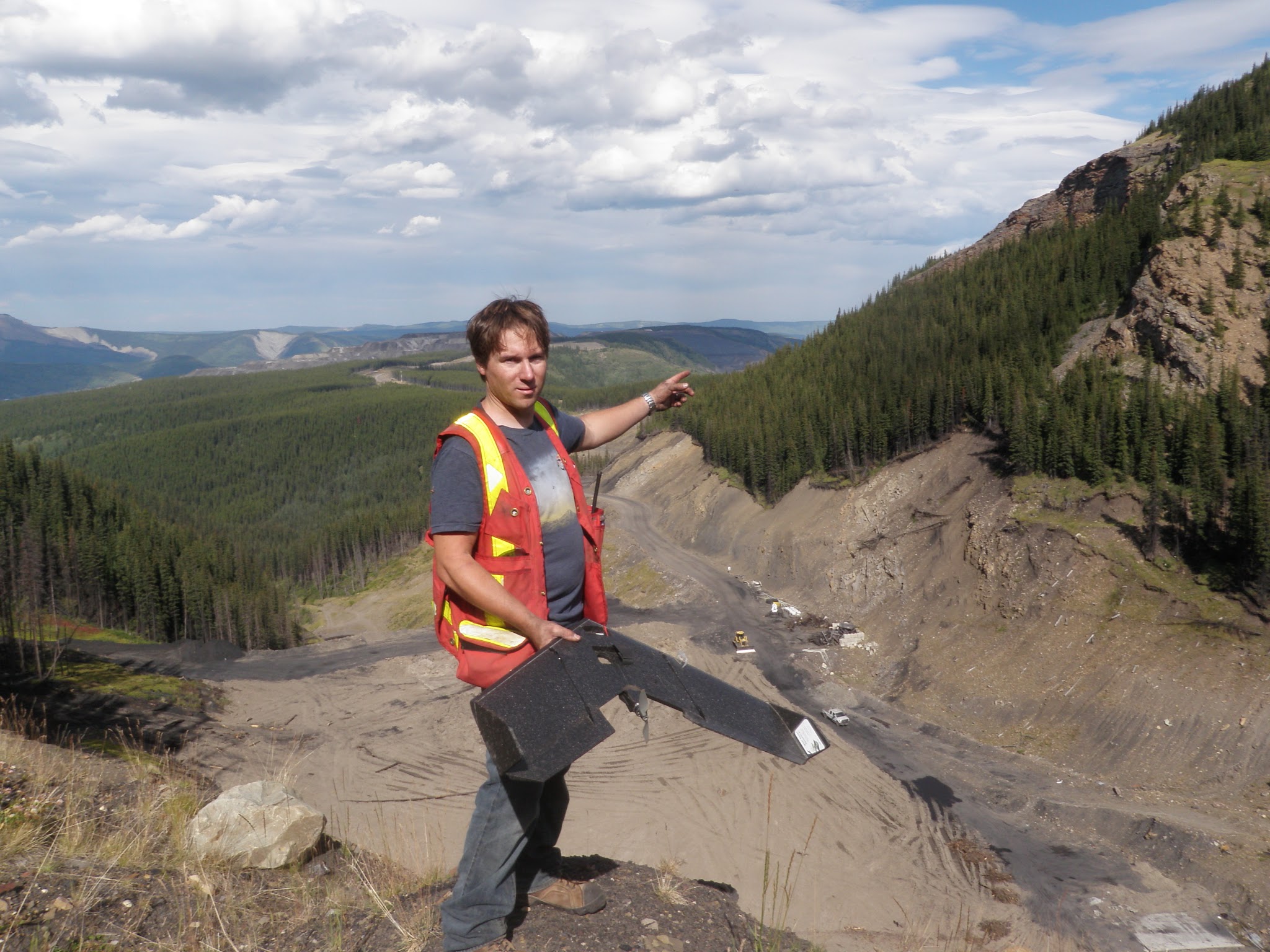
3D pit models can be done for a surprisingly low cost.  West Coast Placer conducted a pit mapping survey for a coal mine this summer and the results were amazing.  Check out the above video for a sample.  Mine engineers were able to use our data in their mine planning software (Minesight) to aid in development of the mine.  Like stockpile volumetrics pit mapping will provide a useful record of mine activity when repeated at a regular interval.  The low cost of drone data makes repeated surveys feasible on any budget.

Environmental monitoring is a part of active mines too.  As discussed drone aerial data offers huge advantages to environmental monitoring teams.  In the event of an accident or disaster drones can provide a detailed image of the event as it happens.  When the Mount Polley mine near Likely, BC had their tailing dam disaster in 2014 drones were used to map the extent of the damage.  The same drone company provided updates as the clean up progressed.

Reclamation

reclamation

During reclamation it is required to show before and after imagery to prove that a mining company is upholding their obligations.  Accurate three dimensional data acquired by UAVs helps mines return the terrain of a mine as close as possible to its original state.  Periodic surveys can show the progress as an ecosystem returns to it’s pre-mining conditions.

Currently in 2015 drones are just beginning to be used in mining.  There are a few intrepid drone service providers like West Coast Placer offering amazing products for prices that are 1/4 or less of what traditional aircraft would cost.  In the coming years we are going to see more and more drones operating on mine sites.  It will be standard equipment for explorers, miners and environmental teams in the not too distant future.

Check out our drones page to see the drone services provided by WestCoastPlacer.


Top Ten Gold Rushes of BC – Part 2

Top Ten Gold Rushes of BC – Part 2

In part one of the top ten gold rushes of BC we covered the early gold rushes primarily in the Southern regions.  As time went on gold hungry adventurers pushed further in the wild North of the Canadian West coast.  Their adventurous spirit was rewarded greatly and eventually led them into the Yukon and Alaska.

1865 Big Bend Gold Rush

KootenalMap1897_crop
1897 Map of the Big Bend Area

The Big Bend refers to the shape of the Columbia River as it makes a huge detour at the continental divide.  This region encompasses several different mountain ranges including the Selkirks, the Cariboo Mountains, the Monashees and the Rocky Mountains.  In 1865 gold was discovered on French Creek which is straight North of Revelstoke.  As in other gold rushes a town was quickly erected named French Creek City.  Within the first year the town reached a population of over 4000 people.  Nothing is left today but during the rush French Creek had a general store, saloons with cabaret shows, barber shops and of course brothels.  Other important towns of the rush were La Porte and Downie Creek.  The inhabitants came mostly from the Wild Horse area and other areas in BC.

Steamboats were a major factor during the big bend gold rush.  Many of the prospectors reached the area on steamboats via the Arrow Lakes which make up part of the Columbia River.  The lake network allowed boat passengers to travel from areas as far South as the US border.

Boat
Columbia River Steamboat, the “Rossland”

Other notable creeks in the area are Carnes Creek, Downie Creek, McCullough Creek, and the Goldstream River.  A 14 ounce nugget was reported to be found on French Creek and numerous smaller nuggets were also found.  In 1865 miners were bringing out multiple ounces per day to the man on some claims.  On McCullough Creek pay streaks averaged 1/8 of an ounce per yard for many years.  Just like other places in the late 1800s hydraulic and drift mining driven by mining companies and syndicates quickly replaced hand mining techniques.  The big bend gold rush only lasted two years but mining in the area continues to this day.  Several large projects and proposed mines are located in the big bend.

1869 Omineca Gold Rush

The Omineca is a huge region in Nortn-Central BC.  The southern boundary is marked today by the Yellowhead highway the North boundary is the Liard Mountains.  Gold was first discovered in the Omineca in 1861 but the rush didn’t take place until eight years later.  The original discoveries were made on the Finlay River.  In the early days there were very few people in the area due to a complete lack of trails, roads or maps and unforgiving terrain and weather.  Much of the area is still wild today.

Northern BC circa 1898, red symbols are known gold discoveries

One of the first claims on the Finlay called Toy’s Bar produced 4 ounces to the man each day.  Several expeditions were launched though the area searching for gold.  One such party, the Peace River Prospecting Party, found a great discovery on Vital Creek in 1869.  The creek was named after one of the party members, Vital Laforce who was also instrumental in exploring the Cariboo region.  Vital Creek produced nearly 5000 ounces in the years following the rush.

Manson Creek and the Germansen River held the best gold deposits in the Omineca.  Gold discoveries were also made on Blackjack Creek, Kildare Creek, Mosquito Creek, Slate Creek and Nugget Gulch.  In the early days of the gold rush anything less than an ounce a day was considered unworthy.  Many creeks were paying 100 ounces per week.  If the gold rush happened today that would be well over $100,000 every week.  I’d be finding my way up there any any means possible.  Travelling to the Omineca in the 1800s was a feat in itself.

The discovery of gold in the Cassiar in 1873 spelled the end of the Omineca gold rush.  As with all gold rushes those who held good ground stayed and kept mining while everyone else headed on to the next boom town.  The Omineca is one of the least explored regions in BC today and there are still gold strikes waiting to be found.

1873 Cassiar Gold Rush

Gold was discovered on the Stikine River in 1861 and a minor rush developed.  A few hundred prospectors ascended the river in search of gold.  There was an existing fur trading fort at the mouth of the river called Fort Stikine which later became Wrangell, Alaska.  Not enough gold was found to entice more adventurers to the region but the excitement was enough to prompt Britain into claiming the region as a colony in 1862.

Cassiar region circa 1893

The Cassiar gold rush really took off once the high grade gold deposits in the extreme North of BC were discovered.  This part of the country is extremely rugged with huge mountains, glaciers and a very cold winter.  The discovery was made in the summer of 1872 by Henry Thibert and Angus McCulloch on a creek that drains into Dease Lake.  The creek was named after Thibert who froze to death the following winter.  Thibert Creek was very rich, in the first year miners were getting up to three ounces to the pan.

TurnagainNugget
The 52 oz “Turnagain Nugget” from Alice Shea Creek in the Cassiar

In 1874 an even bigger discovery was made further North on Mcdame Creek.  The largest gold nugget ever found in BC was taken from Mcdame Creek tipping the scale at 73 ounces!  Another giant nugget was found on Alice Shea Creek that weighed 52 ounces.

Several towns sprung up near the gold discoveries such as Laketon, Porter Landing and Centerville.  They are all ghost towns now but in the height of the rush thousands of people were passing through the shops and saloons of the Cassiar.  Like the Omineca much of this region is just as wild today as it was 150 years ago.

The Cassiar’s rich gold reserves have not been forgotten.  There are many large mining projects under way in the region.  Due to the high grade mineral deposits the area is known as BC’s “Golden Triange”.
BCs-Golden-Triangle

1885 Granite Creek Gold Rush

Granite Creek is a tributary to the Tulameen River.  In the gold rush era of the late 1800s the Tulameen was still a remote and wild area.  Like many of the best discoveries the Granite Creek gold was found by chance.  In this case it was actually found by a cowboy named Johnny Chance.  In the summer of 1885 Chance was delivering some horses to New Westminster and took a route through the Tulameen.  True to his lazy nature he took a nap at a spot on Granite Creek on a hot day.  When he woke up he happened to notice the reflection of some gold nuggets in the water.

Granite City in 1888

Within a year of the discovery the once vacant valley at the mouth of Granite Creek had over 2000 people living there.  At the time Granite City was the third largest town in BC.  There were over two hundred buildings, 13 of which were saloons.  The town never had a school or a mayor though.  The bars in Granite ran flat out and never closed down.  It was known as one of the wildest towns in the West.

In the early days gold nuggets weighing 5-10 ounces were commonly found.  Platinum was also prevalent on the creek.  Miners were producing equal weights of platinum and gold.  Interestingly for the first few years the Granite Creek miners had no idea what platinum was and most of them threw it back into the creek.  At today’s prices gold is going for $1077/oz and platinum is at $870/oz.

GrantieCabin4
Granite City in 2015

The Granite Creek rush brought attention to the surrounding area as well.  Other notable creeks in the Tulameen are Slate Creek, Lawless Creek, Lockie Creek and the Tulameen River.  Gold and platinum are still being produced today.  I heard from a Princeton local that the biggest nuggets to come out of the Tulameen this year were over an ounce.  I have some claims on Granite Creek and the Tulameen River myself.  Check this post from earlier this year Tulameen Prospecting Trip.

By the end of the 1890s the population of Granite City began to decline.  The easy gold was all claimed and in the process of being mined.  Those that didn’t already hold good ground headed North to try their luck in the Atlin and Klondike gold rushes that followed.

1898 Atlin Gold Rush

Atlin area map 1898
Atlin area map 1898

The Atlin gold rush was the last one to take place in BC.  It was a direct offshoot of the Klondike gold rush that took the world by storm.  The Klondike was the mother of all gold rushes, over 100,000 adventurers poured into Dawson City, YK from all over the world.  Some of the adventurous prospectors took a different route and ended up in Atlin.

The first big discovery was on Pine Creek.  A town was set up on Pine Creek aptly named Discovery.  At it’s peak there were over 10,000 people living in Discovery which was rivalled only by the infamous Dawson City.  Discovery had all the excitement of Dawson.  There were saloons, brothels, and gambling available at all hours of the day.  Discovery is a ghost town today, it was replaced by the town of Atlin.

Discovery Townsite in 1909

The gold that was found in the Atlin area was truly legendary.  It is estimated that over 1.5 million ounces of placer gold have been produced from the creeks.  Some giant nuggets were found too.  Several creeks are known to have produced nuggets in excess of 50 ounces!  The best placer gold creeks were Pine Creek, Spruce Creek, Ruby Creek, McKee Creek, Birch Creek, Boulder Creek, Otter (Surprise) Creek, and the McDonnel River.

Atlin is a beautiful town, I had the pleasure of working up there a few years ago.  In the early 1900s it was nicknamed the “Switzerland of the North” due to the picturesque mountain setting.  In many ways Atlin is like Dawson City’s little brother.  The music festival is smaller, the gold rush was smaller, less gold was produced but the Klondike is nowhere near as scenic.

Atlin Today
Atlin Today

Gold mining in Atlin has never stopped.  Every time the gold price spikes the area receives another mini gold rush.  There are a lot of large hard rock mining prospects in the area as well.  The region is not far from the golden triangle and benefits from similar underlying geology.  Due to its remote location the area is very under explored and has outstanding potential for exploration.

The BC gold rush period lasted just 50 years.  Many of the participants experienced more than one rush in their lifetime.  It would have been an amazing time to be a prospector.  Here’s a recap of the top ten BC gold rushes:

  • 1851 Haida Gwaii Gold Rush
  • 1858 Fraser River Gold Rush
  • 1858 Rock Creek Gold Rush
  • 1859 Cariboo Gold Rush
  • 1863 Wild Horse River Gold Rush
  • 1864 Leech River Gold Rush
  • 1865 Big Bend Gold Rush
  • 1873 Cassiar Gold Rush
  • 1885 Granite Creek Gold Rush
  • 1898 Atlin Gold Rush
The history of British Columbia is the history of gold and the men who hunt for it.  It was the Fraser River gold rush that led to BC becoming a colony and later a province.  Our towns, overland trails and roads, and much of the early infrastructure was built to support gold mining activity.  Without our lust for precious metal men would not have risked their lives to explore the rugged and unforgiving wilderness of this beautiful province.

Top Ten Gold Rushes of BC – Part 1

Top Ten Gold Rushes of BC – Part 1

Prior to the gold rushes in BC this part of the country remained almost entirely unexplored.  The Clovis people and their descendants the North American Indians were the first settlers of North America.  The Clovis crossed the Beringia Land Bridge from Siberia to present day Alaska approximately 13,500 years ago.  When Europeans began exploring the area, first by sea in the late 1700s and later by canoe, they encountered aboriginal groups covering much of the province.  Many Indians had seen gold in creeks but had little use for it.  They did not have the knowledge or motivation to mine gold until they came into contact with Europeans.  After learning the value of gold to the British they began to mine it and trade for goods.

Map of British Columbia Goldfields circa 1858
Map of British Columbia Goldfields circa 1858, click for larger image

The Spanish explorers on the other hand were completely obsessed with the yellow metal.  Spanish explorers were motivated primarily by legends of “El Dorado” in their search of the Americas.  Each Spanish explorer had the ultimate goal of returning to Spain with a ship full of gold.  Most of their attention was focussed in South America where their superior weaponry, armour and small pox allowed them to quickly decimate tribal empires and steal their gold.  There is evidence of Spanish gold exploration in BC as well.  Most of the Spanish exploration took place on Vancouver Island and other coastal areas such as Haida Gwaii.  One Spanish expedition travelled inland as far as the Okanagan and Similkameen regions.

Fur trading is what led to the first European settlement of British Colombia but the impact remained relatively small.  The first settlements were established by early explorers such as Simon Fraser, Alexander Mackenzie, and David Thompson.  Early forts were established along the river routes that these explorers used as well as along the coast.  The area became a recognized fur trading district called New Caledonia and it held that name until it became a British Colony in 1858.

Fort St. James was founded in 1806 and was the first major inland fur trading post in BC and still bears that name.  Other notable early forts are Ft. George (now Prince George), Ft. Kamloops, Ft. Langley and Ft. Victoria (1844).  During the fur trade the European population slowly grew to a few hundred people but little effort was put into exploring new ground outside of the established trade routes.

EarlyBC

1851 Haida Gwaii Gold Rush

The Haida Gwaii gold rush was the first recorded gold rush in BC but was very short lived due to hostilities with the local natives.  The rush began in 1851 when a Haida man traded a 27 ounce nugget for 1500 blankets in Fort Victoria.  A Hudson’s Bay Company ship was sent up there soon after and discovered a very high grade lode deposit.

The HBC crew began mining the lode deposit but the Haida Indians soon turned against them and prevented further mining.  In 1852 a ship with 35 adventurers from San Francisco set out for the islands.  They arrived at “Gold Harbour” in the Tasu Sound but did not have much luck finding gold.  They did however manage to trade with the Haida Indians for gold.

1857 Gold Found At the Nicoamen River

Placer gold was discovered in Nicoamen River which is a tributary to the Thompson River.  The Nicoamen enters the Thompson about 12 kilometers up stream from the confluence with the Fraser River at Lytton.  A local Indian discovered gold there by chance and soon the majority of the tribe was mining the area.  This discovery is credited with igniting the Fraser River gold rush.

1858 Fraser River Gold Rush

The Fraser River gold rush involved one of the largest populations of migrant prospectors in history.  It is estimated that around 30,000 people rushed to the lower Fraser River in 1858.  The rush began after an 800 ounce gold sample was sent from Fort Victoria to San Francisco for assay.

Yale in 1868
Yale in 1868

Soon after a shipload of 800 American prospectors from California arrived in Victoria to hunt for gold on the Fraser River.  The influx of American prospectors overwhelmed the small government that managed the territory.  HBC Governor James Douglas requested immediate help from Britain to control this massive foreign population .  The British Government responded by formally claiming BC as sovereign British Colony in 1858.  The new government quickly enacted mining laws to prevent the mayhem that took place in the California goldfields.  Along with the declaration came British military support and the Royal Engineers who went on to build several major road systems including the Cariboo Wagon road and Dewdney Trail.

The early work centred around the community of Hope where steamboats allowed for easy access.  The majority of the gold rushers were participants in the California gold rush that fizzled out a few years earlier.  As a result the population of Yale was largely american and the town was modelled after San Francisco.

Lower Fraser River Circa 1862

A story in the San Francisco Bulletin is credited with igniting the rush.  According to the newspaper:

“In one month the Hudson’s Bay Company fort in Victoria had received 110 pounds of gold dust from the Indians … (prospected) without aid of anything more than … pans and willow baskets.”

Numerous bars were prospected and mined between Hope and Lytton.  Some communities along the Fraser are still named after the bars that were mined such as “Boston Bar”.  Like most gold rushes the men who arrived first snapped up the good claims and the the majority of the adventurers ended up working for them.

Cariboo Wagon Road in Fraser Canyon 1867

The British Royal engineers developed a route from Port Douglas at the head of Harrison Lake to Lillooet to accommodate the influx of miners.  Many new communities popped up and some are still settled today.

The Fraser rush brought people from all over the world but the bulk of the miners came from California.  At the peak of the rush there were over 10,000 miners operating on the section of river form Hope to Lillooet.  The bars depleted rapidly and by 1860 most of the miners continued on the other gold rushes in BC.

1858 Rock Creek Gold Rush

Gold was discovered in Rock Creek in 1858 soon after miners rushed in from the United States and the rest of the world.  The Rock Creek rush was also instrumental in the development of British Columbia.  The discovery was made by two American soldiers who were chased North of the boarder by a band of Indians.  Just 5km from the border where an unnammed creek entered the Kettle River they found gold.

XGEA8_008
This photo is actually from Rock Creek in Alaska, not BC. Still a good photo though.

At the time of the discovery the colony of British Columbia was only a year old.  American miners tried to claim the area as part of the United States due to the high grades and the fact that it was discovered by Americans.  The Rock Creek claim issues prompted the construction of the Dewdney Trail as a means to separate the new colony from the United States.  The Dewdney Trail snaked its way from New Westminster all the way to Wild Horse in the Kootenay region staying just North of the Canada-US border.

Soon after the discovery an estimated 5,000 prospectors migrated to the newly established town of Rock Creek.  In the beginning there were two saloons, a butcher’s shop, a hotel and five stores.  Within the first year a revolt broke out due to tensions between Chinese and American miners and refusal to pay for mining licences.  The incident became known as the Rock Creek War.  The governor of British Columbia Sir James Douglas travelled there from Victoria to straighten out the miners.  He threatened to send in 500 British soldiers if they couldn’t behave themselves.  Sir Douglas was successful and soon the miners paid their claim fees and mined the creeks in peace.

There were some amazing claims on Rock Creek.  Adam Beame’s claim on Soldier’s Bar  in 1859 allegedly netted $1,000 in six weeks.  That gold would be worth $70,500 today!  Other bars such as Denver Bar and White’s Bar produced similar results.

1859 Cariboo Gold Rush

Gold was discovered on the Horsefly River in 1859 by prospectors who participated in the Fraser River rush.  They were guided by a local Indian and shown a spot on the Horsefly River with abundant gold and nuggets the size of wheat kernels.  The rush was on as more miners from the Fraser River rush migrated North to the Cariboo.  Soon a town was erected near the strike that exists today.

Cariboo Map Circa 1862

In 1860 gold was discovered on Keithly and Antler creeks to the North of Horsefly.  Other notable creeks of the region are Lightning, Lowhee, and Williams Creeks, the Quesnel River and Parsnip River.  Towns popped up all over the place with the most exciting being Barkerville.  That town was named after a British prospector named Billy Barker and had a popluaton of 10,000 at its peak.  His claim on Willams Creek was one of the greatest gold producers in history yielding an estimated 37,500 ounces of gold.  Barkerville was restored in 1997 as a tourist historic town that is a popular attraction in the area.

Barkerville1868
Barkerville circa 1868

The Cariboo gold rush saw 100,000 people flood into the area during 1862-70 from all over the world.  By 1864 the Cariboo Wagon Road was completed from New Westminster all the way to Barkerville.  This allowed for easy travel of people and supplies, wich substantially brought down the costs.  It also allowed for stage coaches to securely move gold from the mines.  The stagecoaches operated on this road from 1863 to 1917 carrying people, mail, express packages and of course gold.  The stagecoaches saw surprisingly few hold ups, even though they carried literally tons of gold.  There are only five hold ups on record, two of which were successful.

stagecoach11

By 1870 the gold rush had largely fizzled out.  The good claims were now owned by mining companies who could gather the money needed to undertake underground drift mining.  Those who didn’t stick around to work in underground mines spread around other parts of BC’s North and some sparked gold rushes in new areas.  Others settled in and started up cattle ranches or logging companies.  Gold mining in the Cariboo is still active today, as a matter of fact I have a couple claims near Keithly Creek.

Cariboo Drift Mine
Cariboo Drift Mine

1863 Wild Horse River Gold Rush

Gold was discovered on the Wild Horse River in the Kootenay region in 1863 once again by American prospectors.  The Wild Horse held great gold reserves and still does today.  Early in the rush huge nuggets were found with the biggest tipping the scale at 36 ounces.  The first town that was built was called Fisherville.  Apparently after one resident found a nugget under his house the size of his fist the whole town burned their houses down to dig underneath.

A town was erected named Galbraith’s Ferry, named after John Galbraith who operated a ferry across Kootenay lake.  Later the town was re-named Fort Steele after the legendary Sam Steele.  A second gold rush broke out in the same area in 1885.  Later hard rock silver rushes spread around the region.

The Wild Horse River is estimated to have produced over $7,000,000 in the initial gold rush which would be worth about $490,000,000 today.  There is a very well preserved historic town at Fort Steel that is a popular tourist spot with many actors playing the roles of old time blacksmiths, prospectors, sheriffs and so on.  It is located North of Cranbrook at the intersection between Highway 93 and 95.

The initial gold rush ended after about 6 years but soon the great silver rush would flood the region.  Places like Nelson, Kaslo, Slocan grew out of the silver rushes that blanketed the Kootenay region.


1864 Leech River Gold Rush

The Leech River gold rush started with a letter from Robert Brown who was Commander of the Vancouver Island Exploring Expedition.  Yes that was the correct name of the VIEE expedition.  The expedition was launched by the British government in Victoria.

1880Leechtown
1880 map depicting the locaton of Leechtown

A letter from Brown published in the British Colonist newspaper on July 29, 1864 ignited the rush.  Here are some exerpts from the letter:

..the intelligence I have to communicate is of too important a nature to bear delay in forwarding to you, even for one hour…

The discovery which I have to communicate is the finding of gold on the banks of one of the Forks of the Sooke River, about 12 miles from the sea in a straight line, and in a locality never hitherto reached by white men, in all probability never even by natives. I forward anquarter eighth of an ounce (or thereabouts) of the coarse scale gold, washed out of twelve pans of dirt, in many places 20 feet above the river, and with no tools but a shovel and a gold pan. The lowest prospect obtained was 3 cents to the pan, the highest $1 to the pan, and work like that with a rocker would yield what pay you can better calculate than I can, and the development of which, with what results to the Colony you may imagine.

Leechtown - Berks Hotel
Leechtown – Berks Hotel

A town called Leechtown was built near the discovery.  By November that year there were an estimated 6 general stores, 3 hotels and over 1,200 miners at work in the area.  By 1866 an estimated 200,000 ounces of gold had been produced in the area and the gold rush had passed its peak.  It was over in a flash as the Leech and Sooke river placer deposits, although high grade, were limited in size.

In the span of one decade gold rushes turned the vast unexplored fur trading district of New Caledonia into a sovereign British Colony.  By the end of the 1860’s the new region had gone from a population of under one thousand people to a colony with several major wagon roads and towns covering much of the Southern half of BC.  The gold rushes continued and led to more development in British Columbia.  Stay tuned for part 2.

Check out part two here:

Part 2: Top 10 Gold Rushes

Late Season Prospecting on the Fraser

Late Season Prospecting on the Fraser

This claim is located in the Cariboo-Chilcotin region of BC.  The location is fairly remote and there are no paved roads for quite a distance in any direction.  When you are out there you are definitely alone.  It has sort of an eerie feeling all day and night, it feels deserted.  There is a ghost town near the claim and some signs of a more active human presence from a distant time.  Check out this post for pics on of the ghost town, Southern Cariboo Prospecting Trip.

DSC00723

The hike down to the river is pretty tough.  There is about a 1000 foot elevation change from the access road to the river.  We went down there the first day to sample the beach.  We came across a couple of bedrock outcrops which prevented us from travelling any further.  The bedrock had some gold stored in the cracks and we were able to get some of it out.  Near the river we saw some decent colour in our test pans.  We marked the locations on my GPS and made our way back up to the camp.

DSC01373

We had some great burgers cooked on the campfire and a couple of beers.  It is getting pretty cold up there this time of year.  Once the sun goes down the temperature quickly falls below freezing.  We had a nice big fire and enjoyed the stars for the evening.  It was pretty tough to get out of our tents in the morning.  The moment when you unzip your sleeping bag and start putting on cold clothing is the worst.  I’d like to stay in my nice warm bag for a couple more hours but we came up here for a reason.
CreekRavine

We found an old claim post with tags from 1989/90 right in the center of the claim.  The post was actually carved out of a tree trunk and is the most creative claim post I have ever seen.  As far as industrial markers go this is a work of art.  I hope to find out more about this G. Johnson and what he had discovered on the claim.

20151106_101854  20151106_101753

As we were making our way down to the river for day two of prospecting we came across a creek that seemed to appear out of nowhere.  My partner noticed some gravel near the surface and we thought we might as well pan it.  In that pan we saw a small coarse chunk of gold.  This was pretty exciting since it was located several hundred feet above the river.  We took several more pans in that spot and found a little bit of gold in each one.  Now we have to find out where that mysterious little creek is getting the gold from.

Bazooka

My partner had a Bazooka Gold Trap and we tried it out on this little creek.  The gold trap seemed to work pretty well.  It’s an interesting design that has a chamber at the back and a water scoop underneath that forces water into the trap.


That was our last trip of the season to this area.  The weather forecast says snow is coming this week and it will probably stick until the spring.